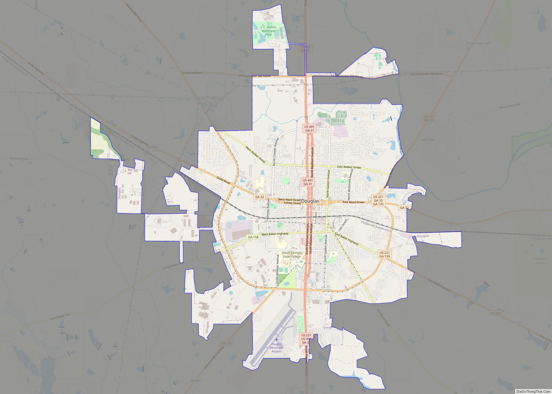
Coffee County is a county located in the southeastern part of the U.S. state of Georgia. As of the 2020 census, the population was 43,092, up from 37,413 at the 2010 census. The county seat is Douglas.
Coffee County comprises the Douglas, GA Micropolitan Statistical Area.
| Name: | Coffee County |
|---|---|
| FIPS code: | 13-069 |
| State: | Georgia |
| Founded: | 1854 |
| Named for: | John E. Coffee |
| Seat: | Douglas |
| Largest city: | Douglas |
| Total Area: | 603 sq mi (1,560 km²) |
| Land Area: | 575 sq mi (1,490 km²) |
| Total Population: | 43,092 |
| Population Density: | 74/sq mi (29/km²) |
| Time zone: | UTC−5 (Eastern) |
| Summer Time Zone (DST): | UTC−4 (EDT) |
| Website: | coffeecountygov.com |
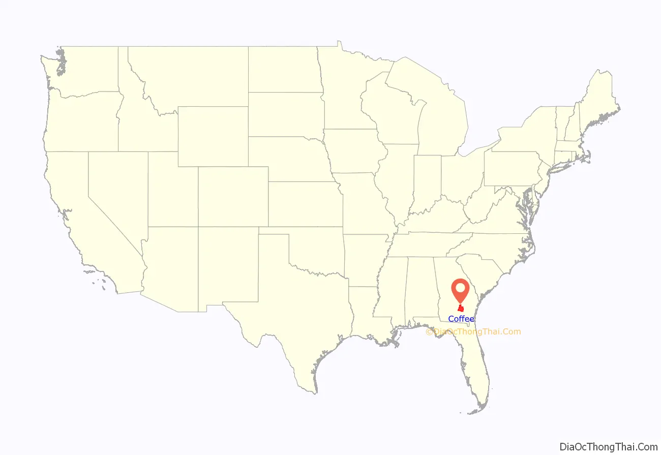
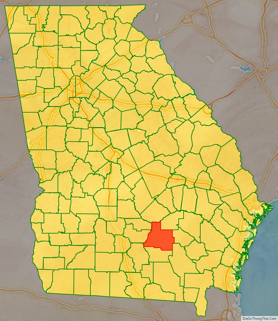
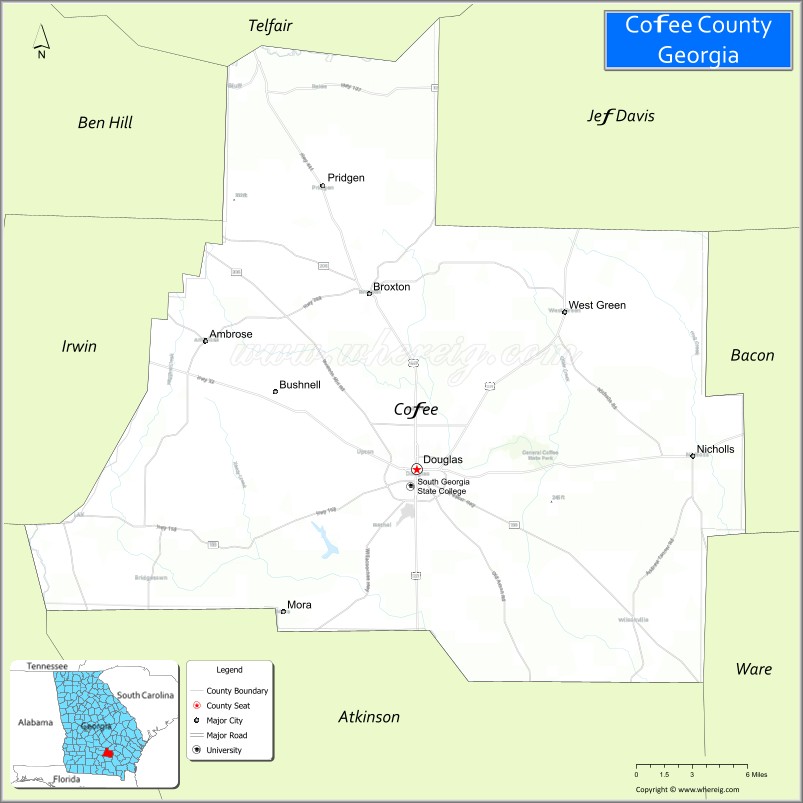
Coffee County location map. Where is Coffee County?
History
Coffee County was created by an act of the Georgia General Assembly on February 9, 1854, from portions of Clinch, Irwin, Telfair, and Ware counties. These lands were originally ceded by the Creek in the Treaty of Fort Jackson in (1814) and the Treaty of the Creek Agency (1818) and apportioned to the above counties before becoming Coffee County.
Berrien (1856), Jeff Davis (1905), and Atkinson (1917) counties were subsequently formed from sections of Coffee County.
The county is named for General John E. Coffee, a state legislator and a U.S. representative.
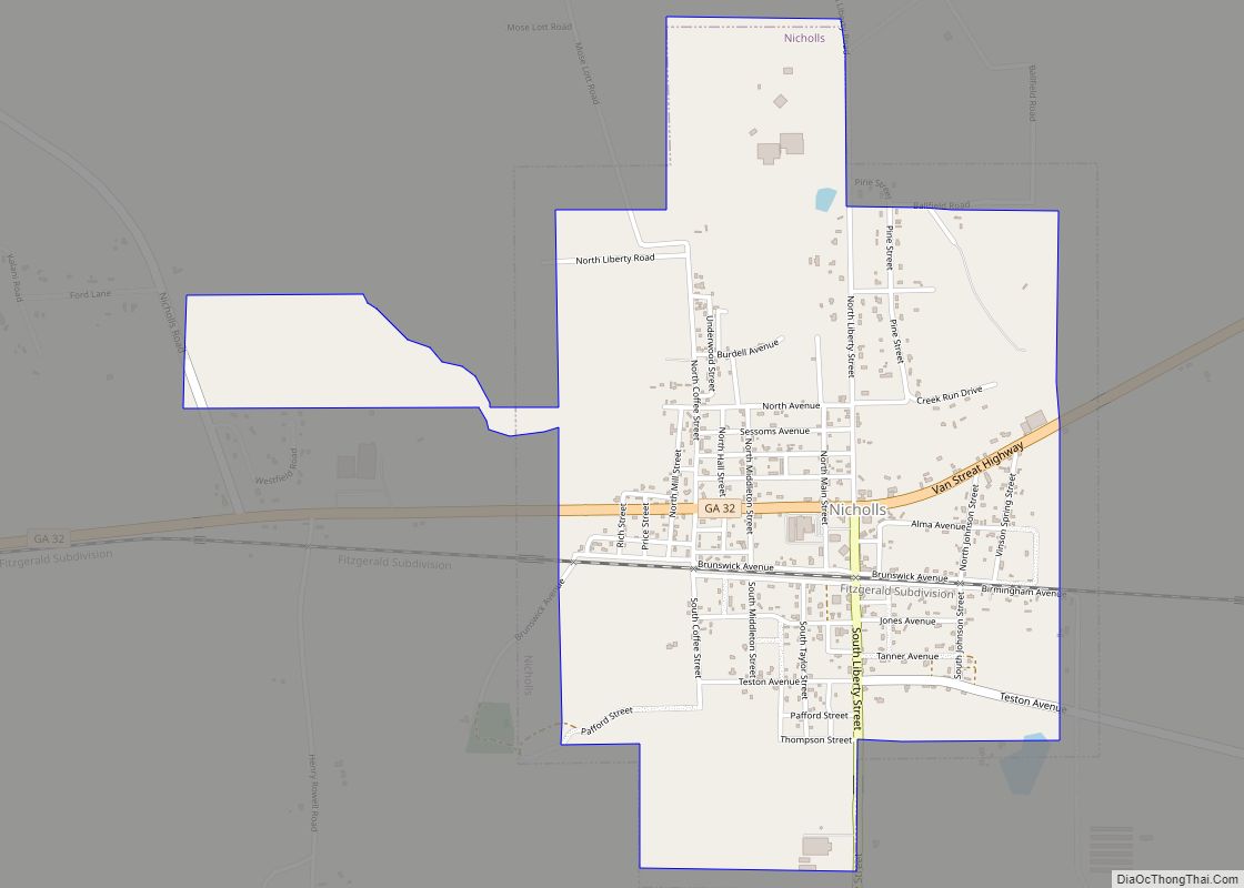
Coffee County Correctional Facility is located in Nicholls, Georgia. It is privately owned and operated by CoreCivic, the largest prison company in the nation.
Many of the early settlers of what is now Coffee County are buried in historic cemeteries across the region, including the cemetery at Lone Hill United Methodist Church—located at 6833 Broxton-West Green Highway, some 10 miles northeast of Douglas. The church and its cemetery date to the 1840s, with the earliest marked grave dated 1848. A majestic Eastern Redcedar has graced the cemetery for generations and is recognized as the nation’s largest of this species through American Forests’ Champion Trees program. (see:) In July 2018 the tree was recognized as 2018’s Great American Tree by American Grove. ( See:) Having been nominated by Mark McClellan of the Georgia Forestry Commission, the tree has been featured in such publications as the Smithsonian Magazine and Janisse Ray’s Wild Card Quilt. The circumference of the tree exceeds 20 feet.
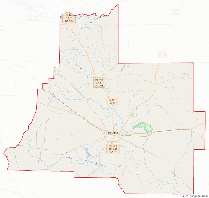
Coffee County Road Map
Geography
According to the U.S. Census Bureau, the county has a total area of 603 square miles (1,560 km), of which 575 square miles (1,490 km) is land and 28 square miles (73 km) (4.6%) is water.
The vast majority of Coffee County is located in the Satilla River sub-basin of the St. Marys-Satilla River basin. The northern corner of the county, well north of Broxton, an area bisected by State Route 107, is located in the Lower Ocmulgee River sub-basin of the Altamaha River basin. The very southwestern corner of Coffee County, northeast of Alapaha, is located in the Alapaha River sub-basin of the Suwannee River basin.
Highways
- U.S. Route 221
- U.S. Route 319
- U.S. Route 441
- State Route 31
- State Route 32
- State Route 64
- State Route 90
- State Route 107
- State Route 135
- State Route 158
- State Route 206
- State Route 206 Connector
- State Route 268
Adjacent counties
- Telfair County – north
- Jeff Davis County – northeast
- Bacon County – east
- Ware County – southeast
- Atkinson County – south
- Berrien County – southwest
- Irwin County – west
- Ben Hill County – west
Coffee County Topographic Map
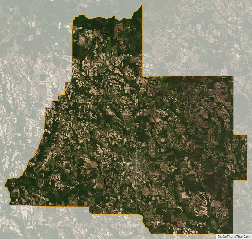
Coffee County Satellite Map
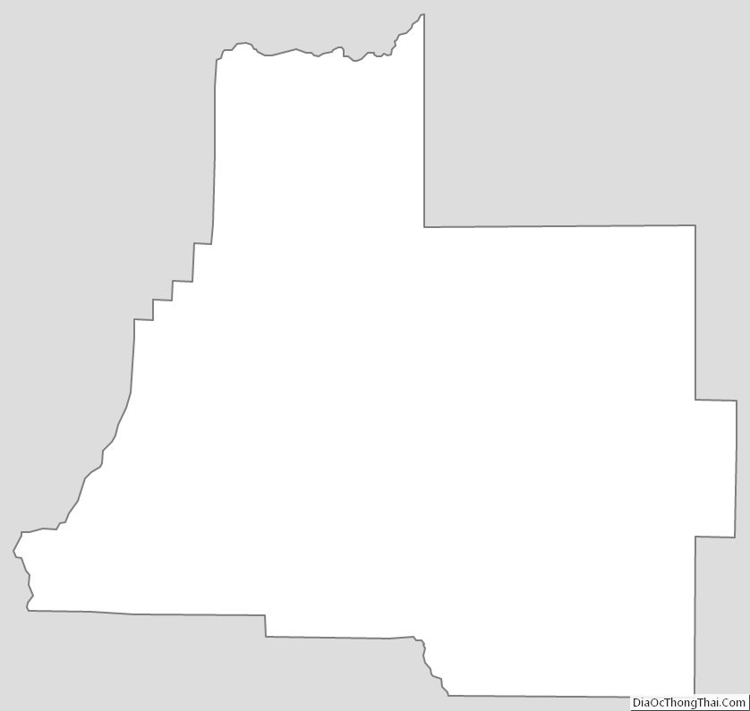
Coffee County Outline Map