Louisville is a city in and the county seat of Jefferson County, Georgia, United States, and also a former state capital of Georgia. It is located southwest of Augusta on the Ogeechee River, and its population was 2,493 at the 2010 census, down from 2,712 at the 2000 census. Its name is pronounced “Lewis-ville”, though it and the differently pronounced city in Kentucky were both named for Louis XVI.
| Name: | Louisville city |
|---|---|
| LSAD Code: | 25 |
| LSAD Description: | city (suffix) |
| State: | Georgia |
| County: | Jefferson County |
| Incorporated: | January 26, 1786; 237 years ago (1786-01-26) |
| Elevation: | 322 ft (98 m) |
| Total Area: | 3.68 sq mi (9.53 km²) |
| Land Area: | 3.61 sq mi (9.35 km²) |
| Water Area: | 0.07 sq mi (0.17 km²) |
| Total Population: | 2,381 |
| Population Density: | 659.37/sq mi (254.57/km²) |
| Area code: | 478 |
| FIPS code: | 1347560 |
| GNISfeature ID: | 0332271 |
| Website: | cityoflouisvillegeorgia.com |
Online Interactive Map
Click on ![]() to view map in "full screen" mode.
to view map in "full screen" mode.
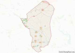
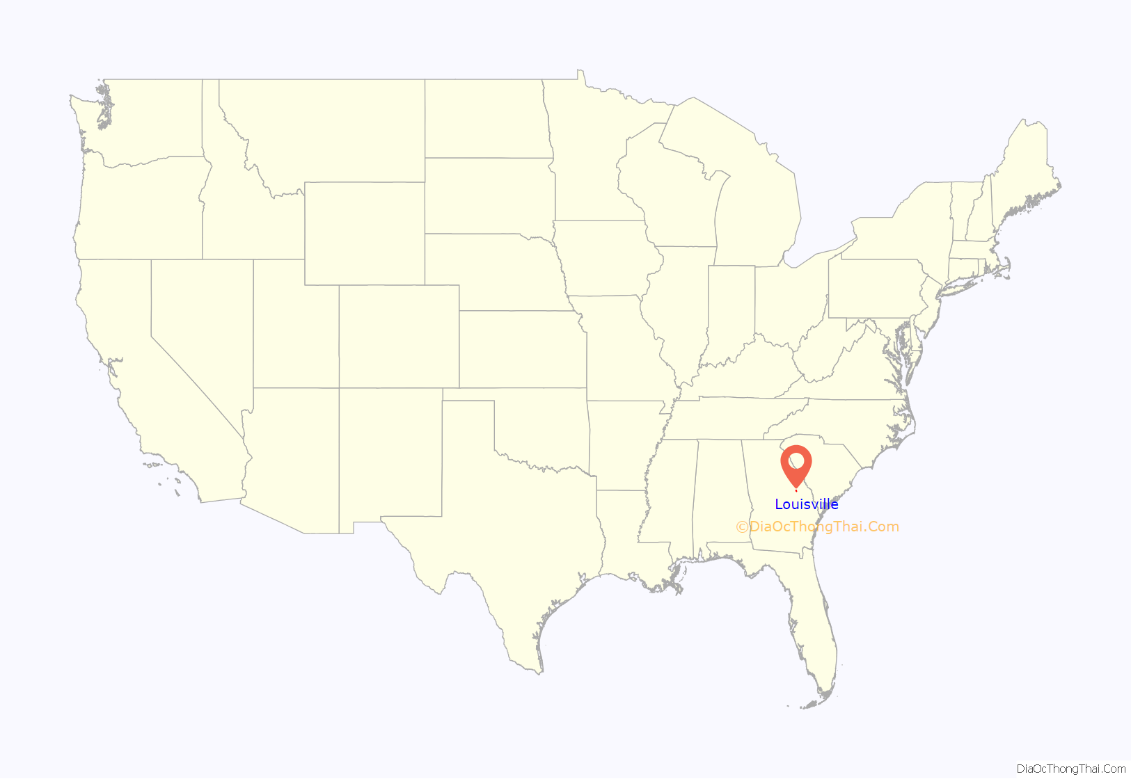
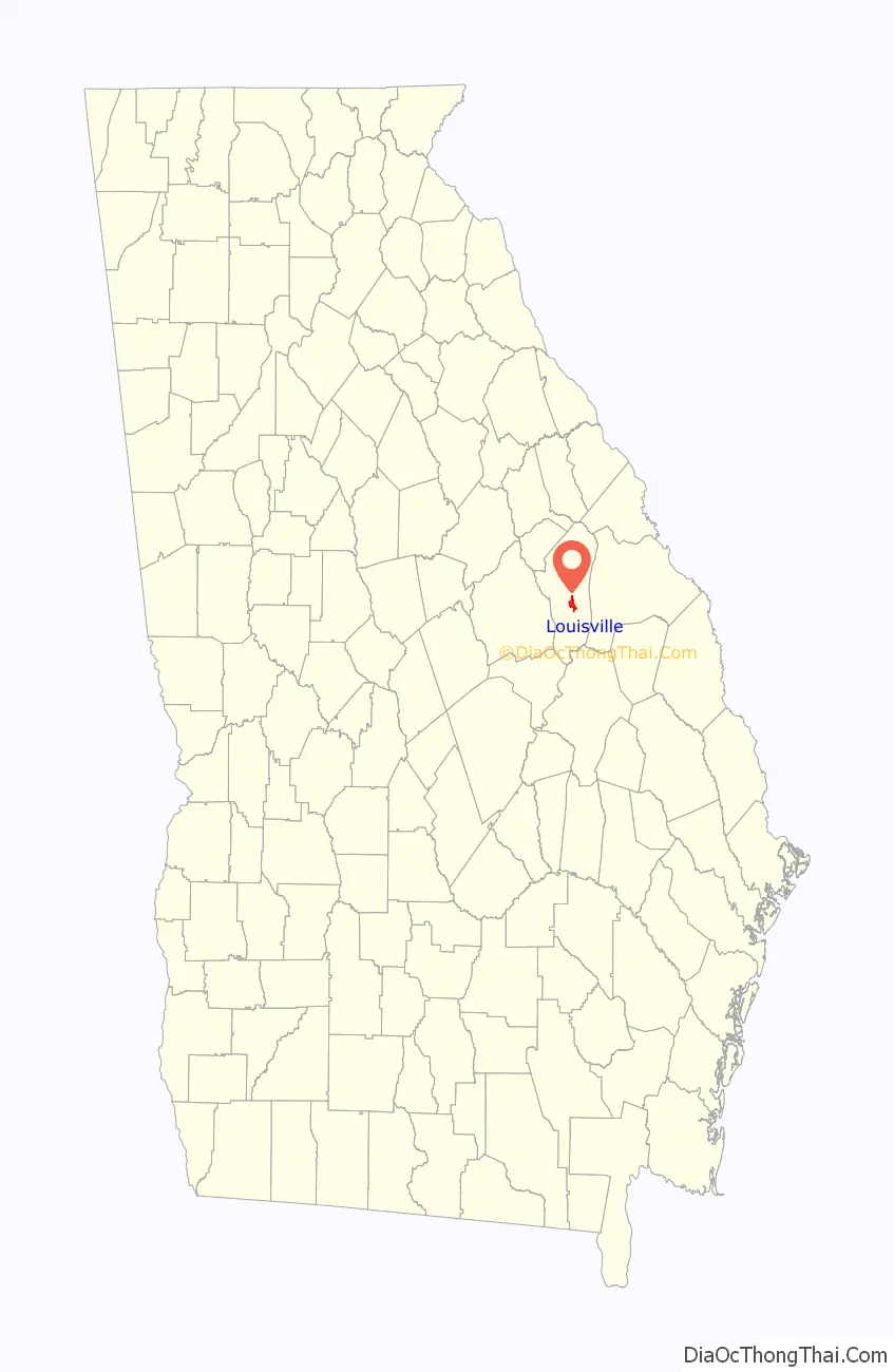
Louisville location map. Where is Louisville city?
History
Louisville was incorporated on January 26, 1786, as the prospective state capital, though it did not become so for a decade. Savannah had served as the colonial capital, but was considered too far from the center of population in the growing state, and Augusta became the state capital in the 1780s.
Louisville was named for Louis XVI, who had aided the Continentals during the American Revolutionary War and was still the King of France when the decision to incorporate the city was made. Development of the city took years, and its state government buildings were completed in 1795. An old Revolutionary War soldiers’ cemetery is located on the western side of town.
The city of Louisville served as the state capital of Georgia from 1796 to 1806. It was a center of trade, legislators, and political influence. The Jefferson County courthouse, built in 1904, stands on the site of Georgia’s first permanent capitol building.
Louisville’s historic open-sided market house, Old Market, (Old Slave Market) still stands in the center of downtown. The original market had sections for sales of farm produce, household goods, and enslaved African Americans. The caption of a 1934 photograph in the Library of Congress proves the sale of enslaved people of color happened at this market, with details. The Old Market is listed on the National Register of Historic Places. Roads and other transportation routes intersected at the market square, the hub of the region when the town was the state capital. The state capital was moved to Milledgeville and later to Atlanta, in the Piedmont.
As a small city and county seat, Louisville now has few major businesses and industries. A marker dedicated to the Yazoo land scandal of the 19th century is located in front of the Jefferson County Courthouse. Queensborough National Bank and Trust Company was founded in 1902 and is currently headquartered in Louisville, on U.S. Highway 1.
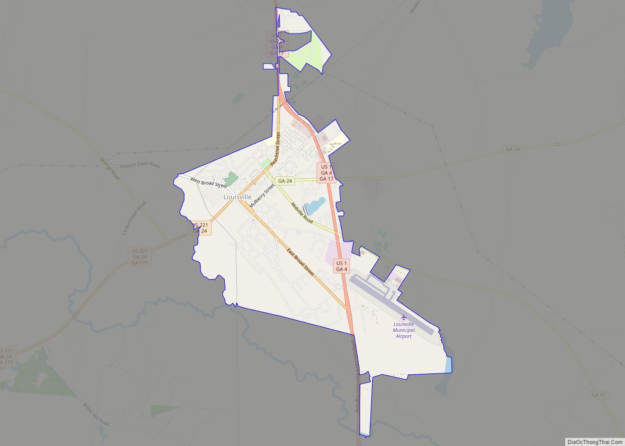
Louisville Road Map

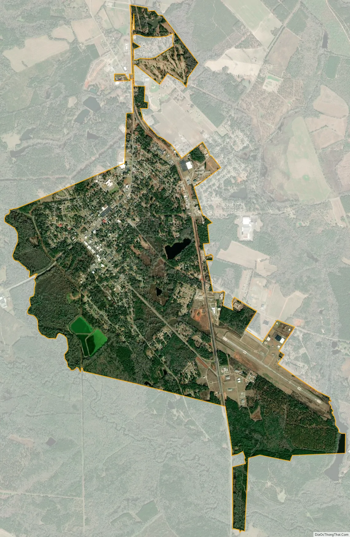
Louisville city Satellite Map
Geography
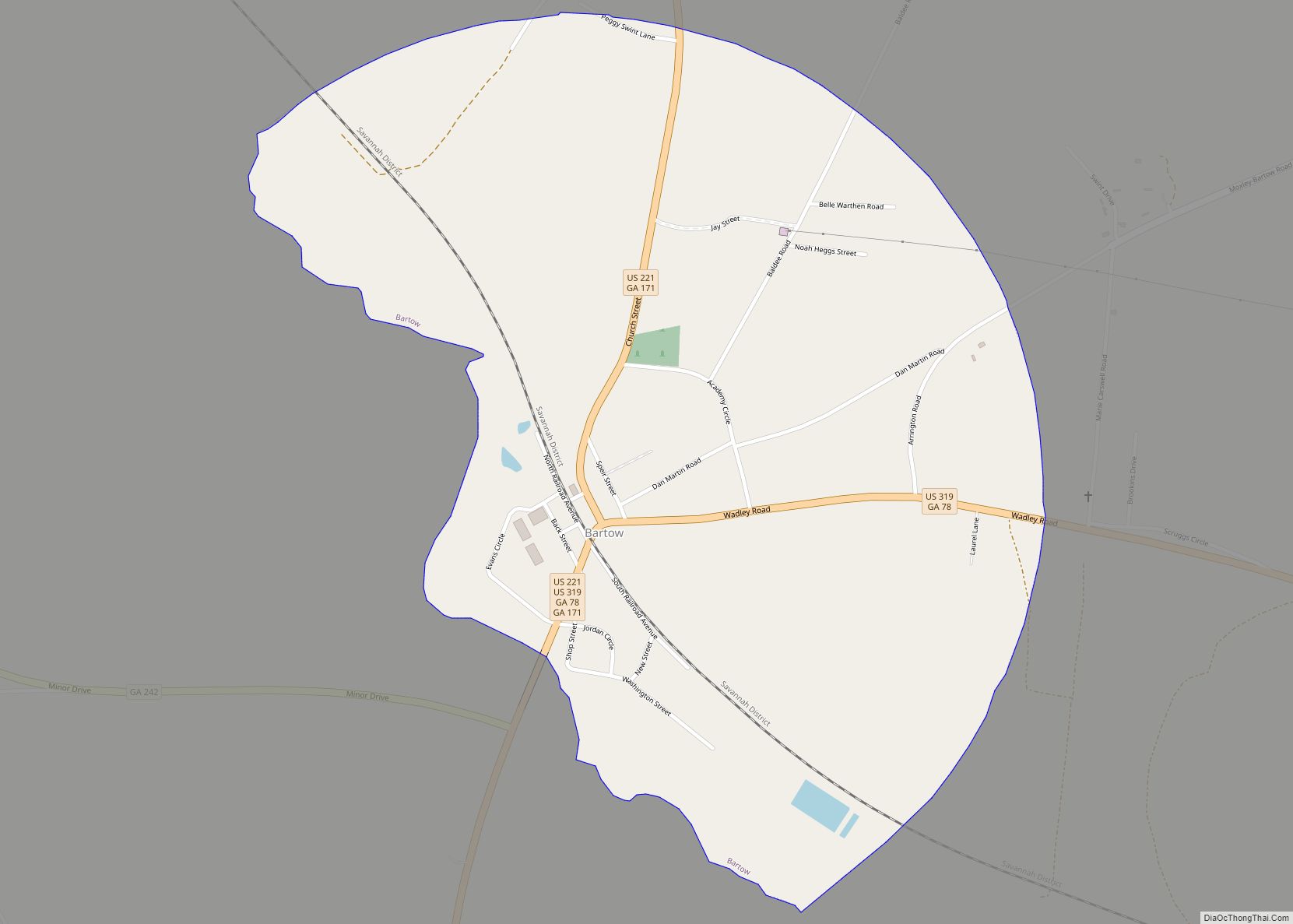
Louisville is located slightly south of the center of Jefferson County. U.S. Route 1 passes through the east side of the city, leading northeast 46 miles (74 km) to Augusta and south 30 miles (48 km) to Swainsboro. U.S. Route 221 passes through the north side of downtown as Peachtree Street and leads southwest 10 miles (16 km) to Bartow. US-221 leaves Louisville to the north, running with US-1 15 miles (24 km) to Wrens before continuing north toward Harlem.
According to the United States Census Bureau, Louisville has a total area of 3.7 square miles (9.5 km), of which 3.6 square miles (9.3 km) are land and 0.1 square miles (0.2 km), or 1.93%, are water. The western city boundary follows Rocky Comfort Creek, which flows into the Ogeechee River at the city limits’ southwest corner. The Ogeechee flows to the Atlantic Ocean south of Savannah.
See also
Map of Georgia State and its subdivision:- Appling
- Atkinson
- Bacon
- Baker
- Baldwin
- Banks
- Barrow
- Bartow
- Ben Hill
- Berrien
- Bibb
- Bleckley
- Brantley
- Brooks
- Bryan
- Bulloch
- Burke
- Butts
- Calhoun
- Camden
- Candler
- Carroll
- Catoosa
- Charlton
- Chatham
- Chattahoochee
- Chattooga
- Cherokee
- Clarke
- Clay
- Clayton
- Clinch
- Cobb
- Coffee
- Colquitt
- Columbia
- Cook
- Coweta
- Crawford
- Crisp
- Dade
- Dawson
- Decatur
- DeKalb
- Dodge
- Dooly
- Dougherty
- Douglas
- Early
- Echols
- Effingham
- Elbert
- Emanuel
- Evans
- Fannin
- Fayette
- Floyd
- Forsyth
- Franklin
- Fulton
- Gilmer
- Glascock
- Glynn
- Gordon
- Grady
- Greene
- Gwinnett
- Habersham
- Hall
- Hancock
- Haralson
- Harris
- Hart
- Heard
- Henry
- Houston
- Irwin
- Jackson
- Jasper
- Jeff Davis
- Jefferson
- Jenkins
- Johnson
- Jones
- Lamar
- Lanier
- Laurens
- Lee
- Liberty
- Lincoln
- Long
- Lowndes
- Lumpkin
- Macon
- Madison
- Marion
- McDuffie
- McIntosh
- Meriwether
- Miller
- Mitchell
- Monroe
- Montgomery
- Morgan
- Murray
- Muscogee
- Newton
- Oconee
- Oglethorpe
- Paulding
- Peach
- Pickens
- Pierce
- Pike
- Polk
- Pulaski
- Putnam
- Quitman
- Rabun
- Randolph
- Richmond
- Rockdale
- Schley
- Screven
- Seminole
- Spalding
- Stephens
- Stewart
- Sumter
- Talbot
- Taliaferro
- Tattnall
- Taylor
- Telfair
- Terrell
- Thomas
- Tift
- Toombs
- Towns
- Treutlen
- Troup
- Turner
- Twiggs
- Union
- Upson
- Walker
- Walton
- Ware
- Warren
- Washington
- Wayne
- Webster
- Wheeler
- White
- Whitfield
- Wilcox
- Wilkes
- Wilkinson
- Worth
- Alabama
- Alaska
- Arizona
- Arkansas
- California
- Colorado
- Connecticut
- Delaware
- District of Columbia
- Florida
- Georgia
- Hawaii
- Idaho
- Illinois
- Indiana
- Iowa
- Kansas
- Kentucky
- Louisiana
- Maine
- Maryland
- Massachusetts
- Michigan
- Minnesota
- Mississippi
- Missouri
- Montana
- Nebraska
- Nevada
- New Hampshire
- New Jersey
- New Mexico
- New York
- North Carolina
- North Dakota
- Ohio
- Oklahoma
- Oregon
- Pennsylvania
- Rhode Island
- South Carolina
- South Dakota
- Tennessee
- Texas
- Utah
- Vermont
- Virginia
- Washington
- West Virginia
- Wisconsin
- Wyoming