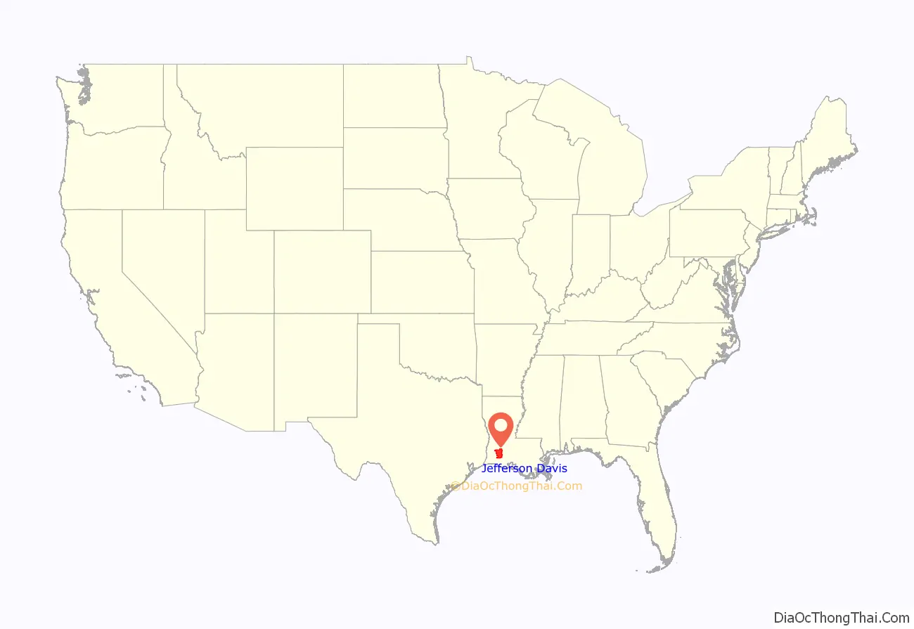
Jefferson Davis Parish (French: Paroisse de Jefferson Davis) is a parish located in the U.S. state of Louisiana. As of the 2020 census, the population was 32,250. The parish seat is Jennings. Jefferson Davis Parish is named after the president of the Confederacy during the American Civil War, Jefferson Davis. It is located in southwestern Louisiana and forms a part of the Acadiana region.
In 2005, the parish was damaged significantly by Hurricane Rita, which caused much wind damage and flooding in the western part of the parish. The storm also caused Lacassine National Wildlife Refuge to be affected by saltwater intrusion.
| Name: | Jefferson Davis Parish |
|---|---|
| FIPS code: | 22-053 |
| State: | Louisiana |
| Founded: | January 1, 1913 |
| Named for: | Jefferson Davis |
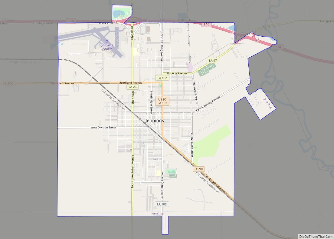
| Seat: | Jennings |
| Largest city: | Jennings |
| Total Area: | 659 sq mi (1,710 km²) |
| Land Area: | 651 sq mi (1,690 km²) |
| Total Population: | 32,250 |
| Population Density: | 49/sq mi (19/km²) |
| Time zone: | UTC−6 (Central) |
| Summer Time Zone (DST): | UTC−5 (CDT) |
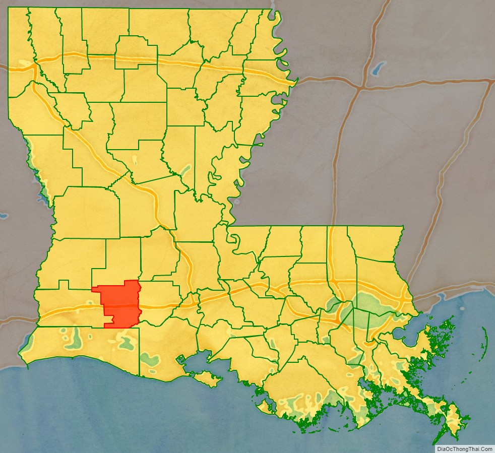
Jefferson Davis Parish location map. Where is Jefferson Davis Parish?
History
Jefferson Davis Parish was one of the last parishes to be organized in the state of Louisiana. It was originally a part of Imperial Calcasieu Parish, which contributed to five other parishes as the population increased in the area. The bill creating Jefferson Davis Parish was passed by the state legislature in 1912 but did not take effect until 1913. Jefferson Davis Parish is part of the large, 22-county Acadiana region of Louisiana, which is influenced by a large Francophone population. It was named after Jefferson Davis, a prominent planter and the President of the Confederate States of America.
The first oil in Louisiana was drilled in 1901 in Evangeline, Acadia Parish, by W. Scott Heywood, who in 1932 was elected to the Louisiana State Senate. The oil field was known as the Jennings Oil Field because Jennings was the nearest railroad stop to the oil field.
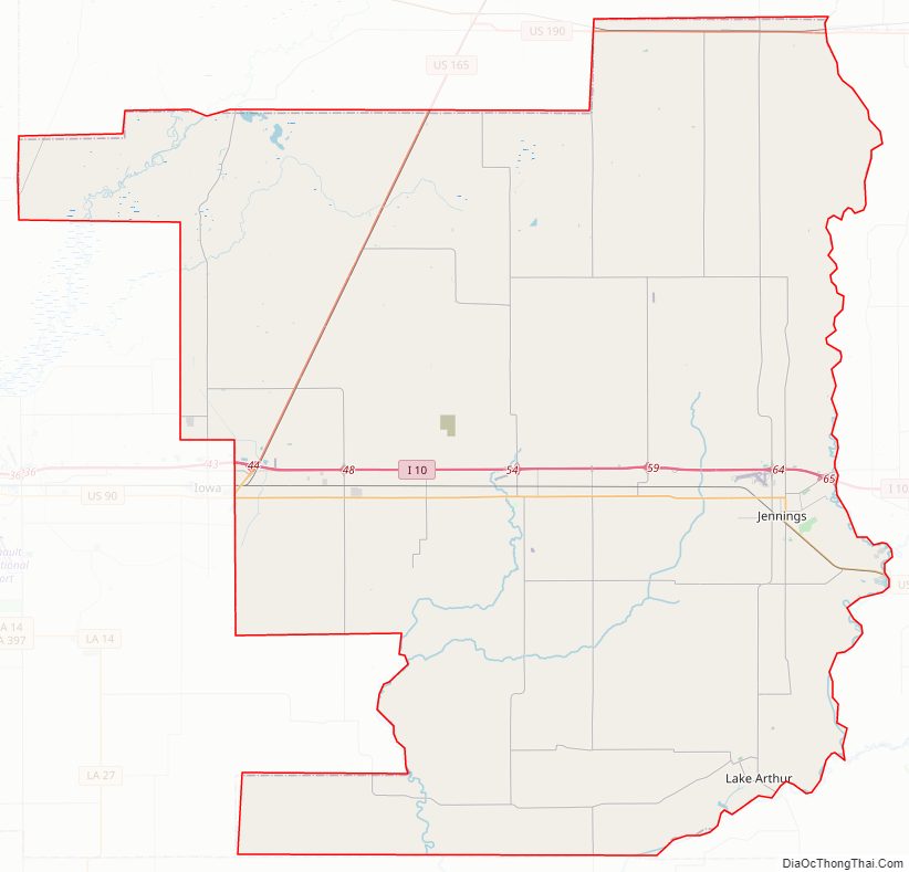
Jefferson Davis Parish Road Map
Geography
According to the U.S. Census Bureau, the parish has a total area of 660 square miles (1,700 km), of which 651 square miles (1,690 km) is land and 7.2 square miles (19 km) (1.1%) is water.
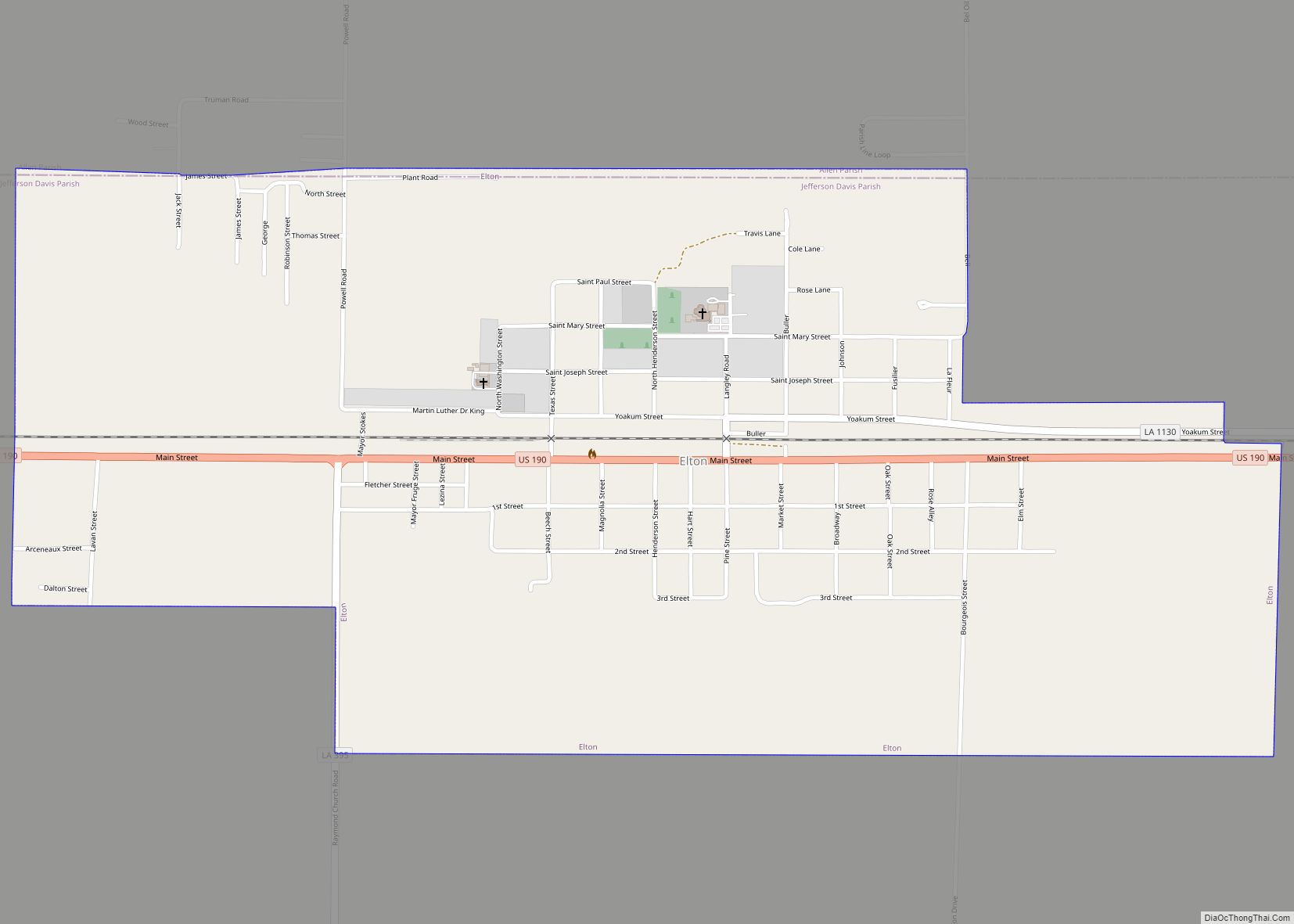
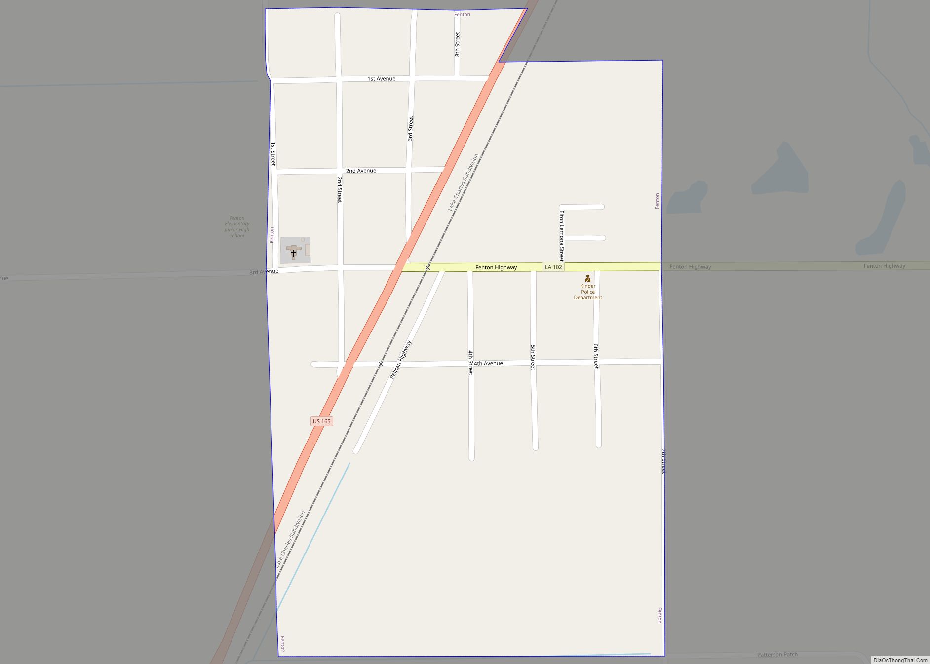
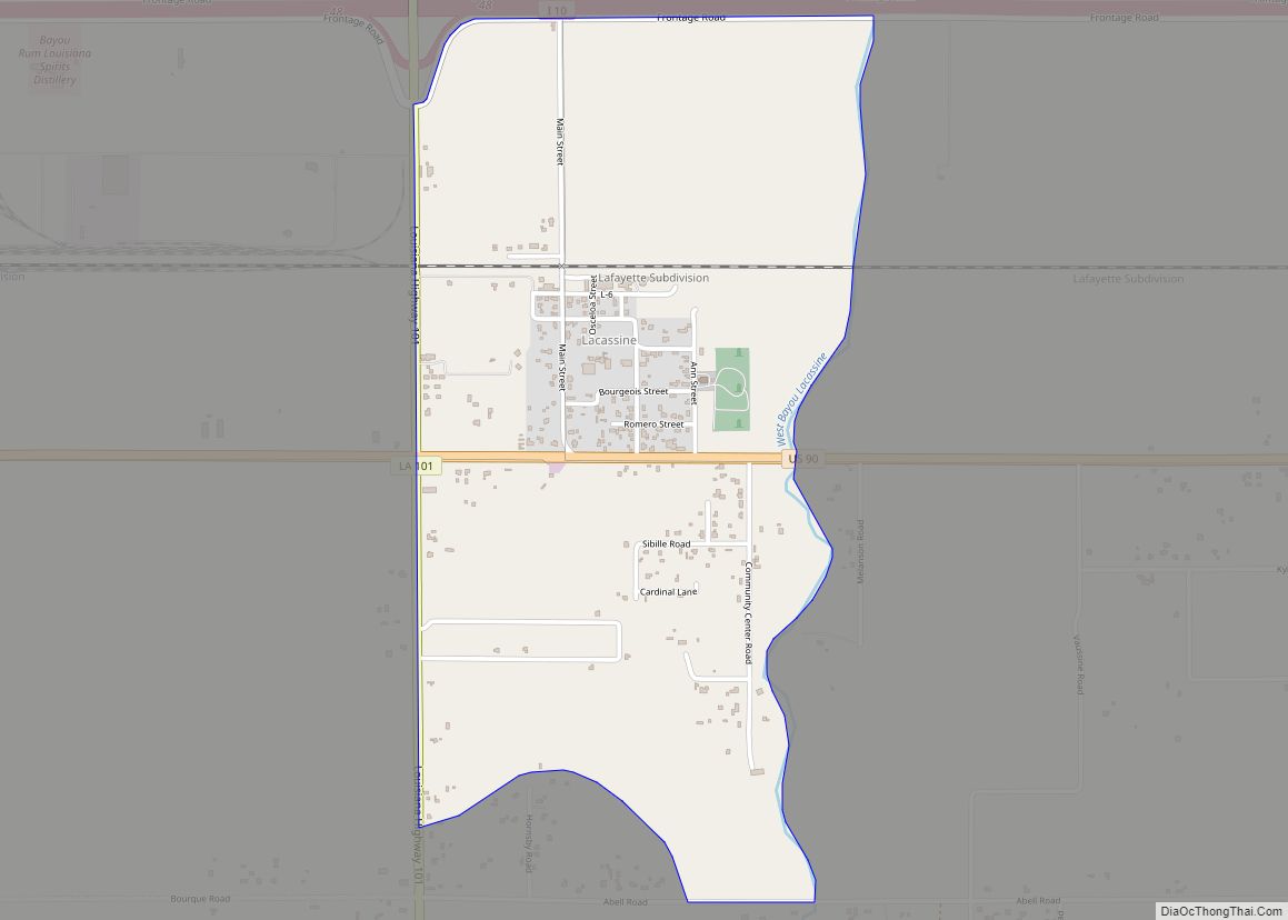
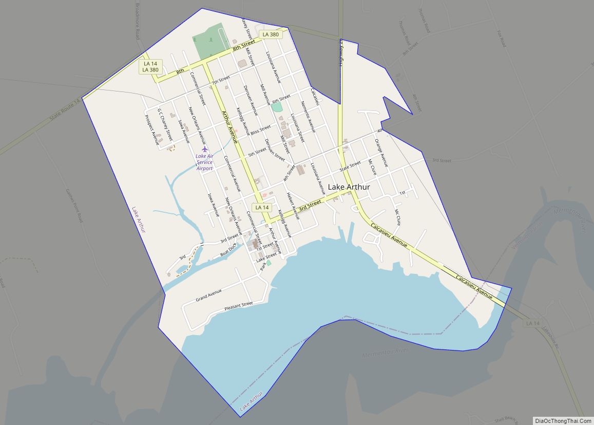
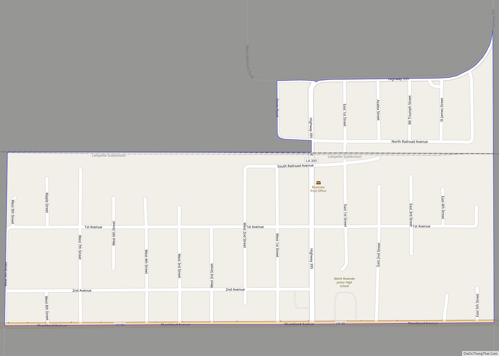
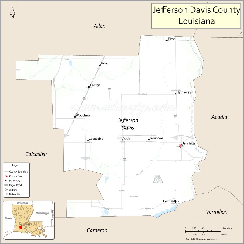
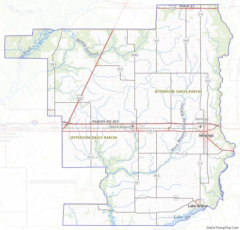
Jefferson Davis Parish comprises five incorporated towns including Elton, Fenton, Jennings, Lake Arthur, and Welsh. There are also many unincorporated areas that add to the interest and economic structure of the parish including Barnsdall, Buller, China, Coverdale, Edna, Fontenot, Foreman’s Hall, Hathaway, Illinois Plant, Lacassine, Lauderdale, Panchoville, Pine Island, Raymond, Roanoke, Silverwood, Thornwell, Topsy, Verret, and Woodlawn. Interstate 10 runs east and west through the center of the parish, providing access to local markets. Additionally, the Union Pacific Railroad is centrally located within the parish and the Mermentau River, which connects to the Intracoastal Waterway and has a channel depth of nine feet, provides access to the Port of Mermentau. The Jennings Airport, with a runway length of 5,000 feet (1,500 m), is capable of landing a small jet and is located next to Interstate 10. Jefferson Davis Parish also attracts sportsmen to the Lacassine National Wildlife Refuge.
Adjacent parishes
- Allen Parish (north)
- Evangeline Parish (northeast)
- Acadia Parish (east)
- Vermilion Parish (southeast)
- Cameron Parish (south)
- Calcasieu Parish (west)
- Beauregard Parish (northwest)
Jefferson Davis Parish Topographic Map
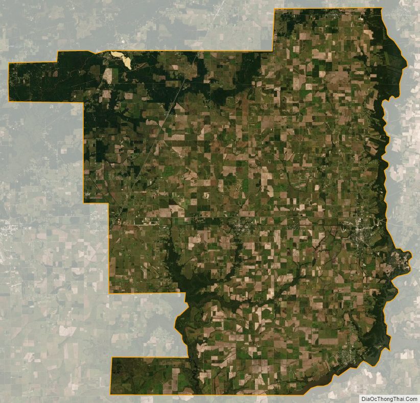
Jefferson Davis Parish Satellite Map
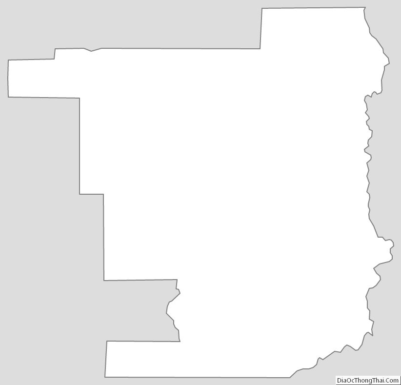
Jefferson Davis Parish Outline Map