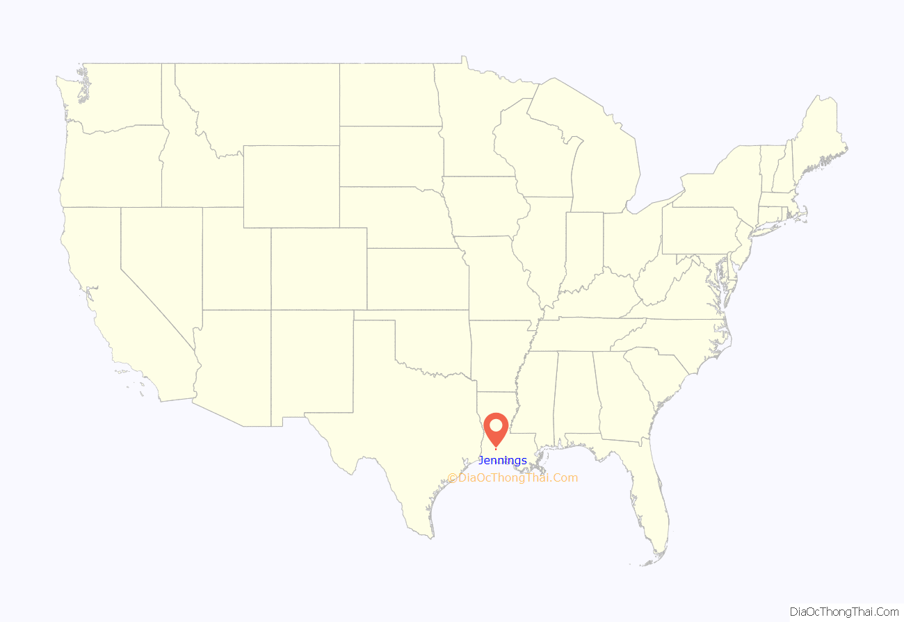
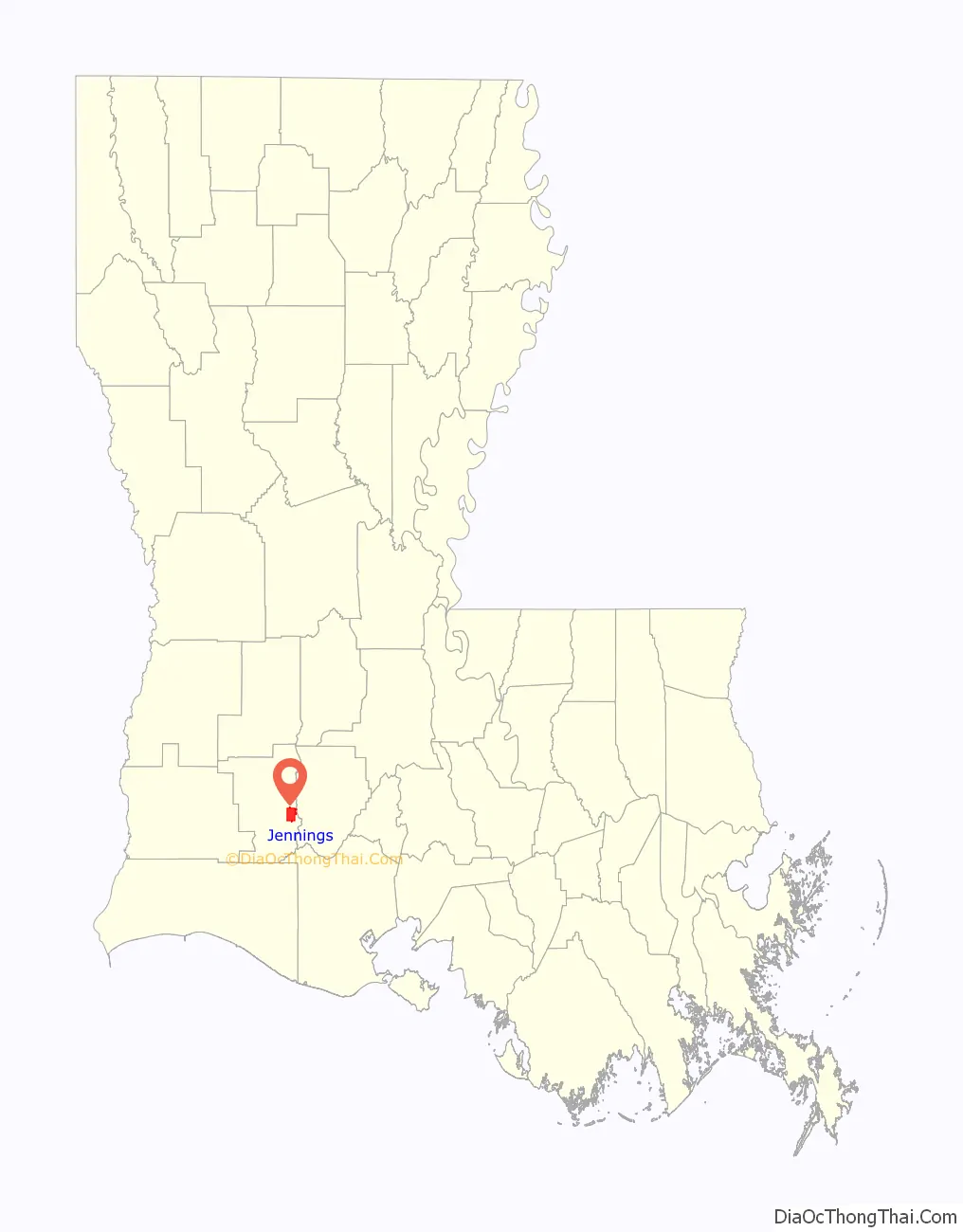
Jennings is a city in, and the parish seat of, Jefferson Davis Parish, Louisiana, United States, near Lake Charles. The population was 10,383 at the 2010 census, a small decline from the 2000 tabulation.
Jennings is the principal city of the Jennings Micropolitan Statistical Area, which includes all of Jefferson Davis Parish. It is also part of the larger Lake Charles-Jennings Combined Statistical Area. It is also part of the large, 22-parish Acadiana region of the state, with a large Francophone population, many descended from early Acadian settlers.
| Name: | Jennings city |
|---|---|
| LSAD Code: | 25 |
| LSAD Description: | city (suffix) |
| State: | Louisiana |
| County: | Jefferson Davis Parish |
| Founded: | May 2, 1888 |
| Elevation: | 26 ft (8 m) |
| Total Area: | 10.58 sq mi (27.40 km²) |
| Land Area: | 10.56 sq mi (27.35 km²) |
| Water Area: | 0.02 sq mi (0.05 km²) |
| Total Population: | 9,837 |
| Population Density: | 931.53/sq mi (359.67/km²) |
| ZIP code: | 70546 |
| Area code: | 337 |
| FIPS code: | 2238355 |
Online Interactive Map
Click on ![]() to view map in "full screen" mode.
to view map in "full screen" mode.
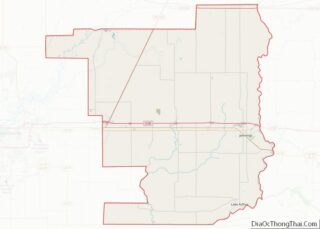
Jennings location map. Where is Jennings city?
History
For whom the town was named, Jennings McComb was an Irish contractor for the Southern Pacific Railroad. He built the Jennings depot on a divide peculiar to the southwest Louisiana. This became the center of new development based on the railroad. The first settler was recorded as A. D. McFarlain, who came in 1881 from St. Mary Parish and opened a store. McFarlain also became the first rice grower, postmaster, brickmaker, and builder in the community. Prospering with Jennings’ growth, McFarlain was considered one of the town’s prominent businessmen and civic leaders.
The Jennings area attracted numerous wheat farmers from Iowa, Kansas, Nebraska, and other Midwestern states. The new settlers of southwest Louisiana were referred to as “Yankees” by the natives, who were of Acadian French and African-American descent. They had settled along the waterways in the parish, which they had relied on for transportation before the railroad. They fished in the bayous. The Cajuns gave appreciable aid to the settlers in homesteading and homemaking. The people grew rice, cotton, sweet potatoes, and corn.
Sylvester L. Cary reached this area on February 7, 1883, from Iowa. He became known as the town’s “father,” as he persuaded other Iowans to relocate there. He said he was “seeking a home where there was neither winter nor mortgages.” So impressed was Cary by the fertile country around the Jennings depot that he shared his findings with others. He attracted fellow Midwesterners to southwest Louisiana by writing to friends in Iowa, extolling the area. When he returned to Iowa to pack up his family for the move to Jennings, he persuaded several neighbors preparing to migrate west, to follow him to Jennings and southwest Louisiana.
Much of southwest Louisiana was developed by the North American Land and Timber Co., which owned large portions of land. Seaman A. Knapp, president of the Iowa State College of Agriculture, was engaged in 1885 to demonstrate the region’s suitability for rice production. Knapp attracted a number of Iowans to settle the area. The land company placed advertisements in newspapers published in the Midwestern states.
On May 2, 1888, the settlement of Jennings was incorporated as a village. In 1901, a fire destroyed a large portion of the wooden structures in Jennings.
That same year, Jennings was the site of the first oil well to produce in Louisiana, revealing its first oil field. Oil brought a boom to the town for a period. When oil production declined, the basic agricultural economy of the parish supported the town.
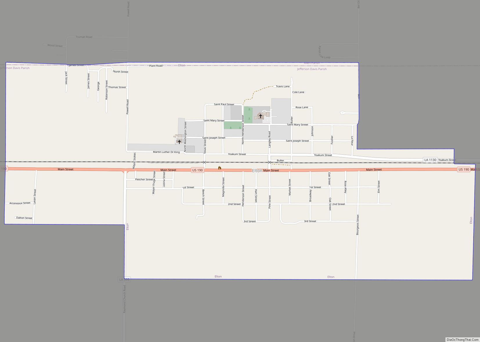
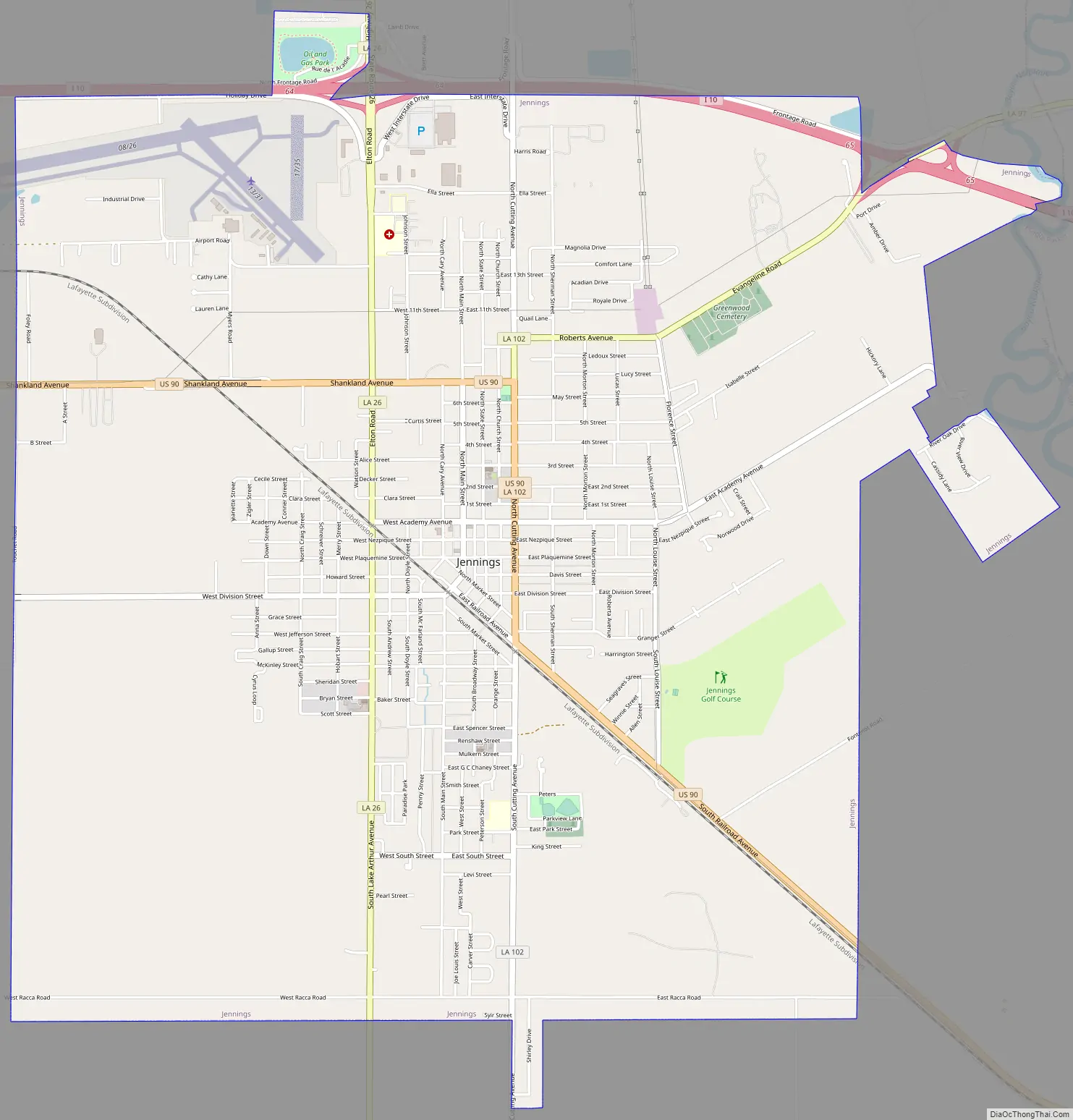
Jennings Road Map
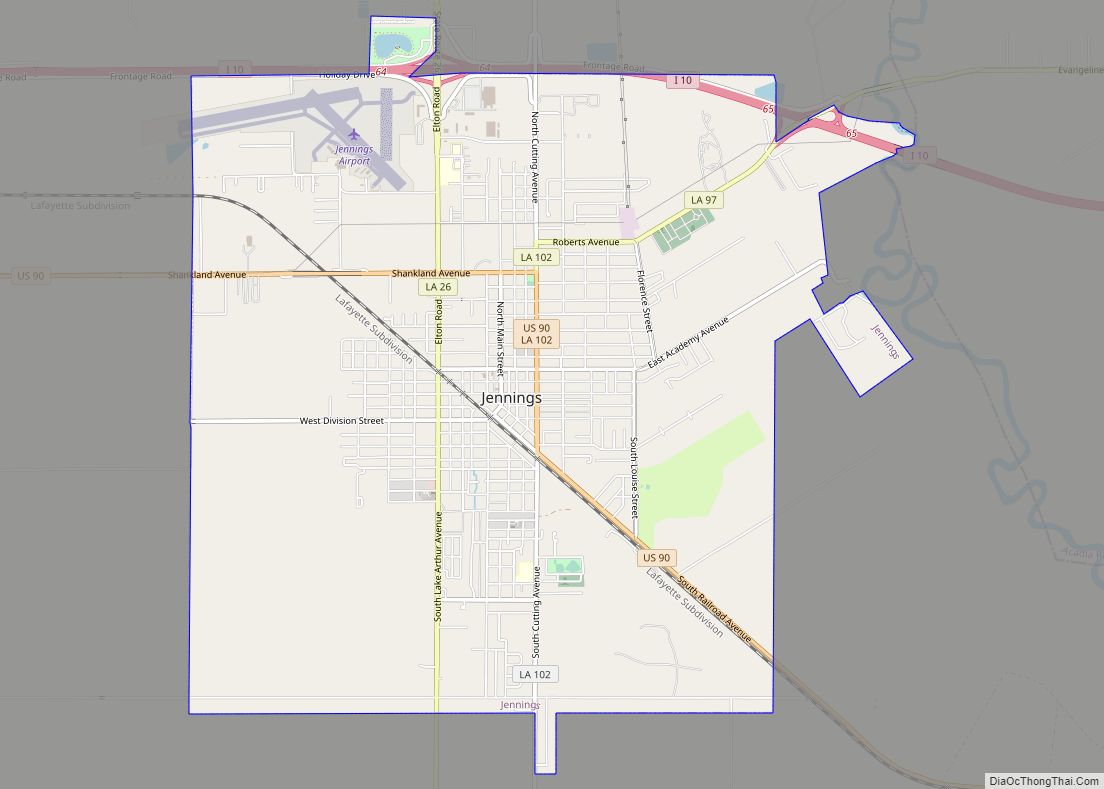
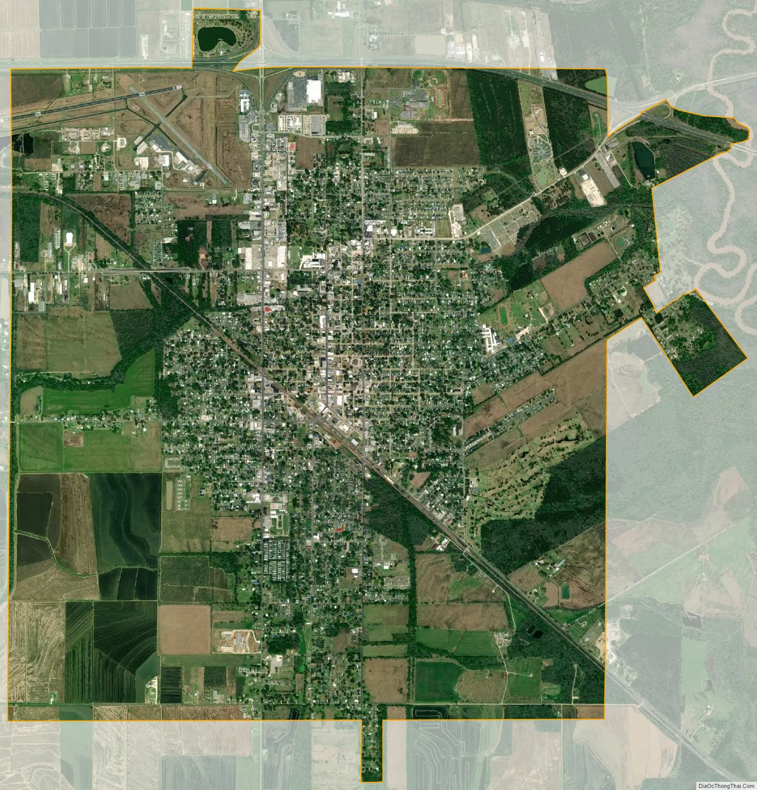
Jennings city Satellite Map
Geography
Jennings is located at 30°13′20″N 92°39′25″W / 30.22222°N 92.65694°W / 30.22222; -92.65694 (30.222207, -92.656880) and has an elevation of 26 feet (7.9 m).
According to the United States Census Bureau, the city has a total area of 10.3 square miles (27 km), of which 10.2 square miles (26 km) is land and 0.04 square miles (0.10 km) (0.19%) is water.
See also
Map of Louisiana State and its subdivision:- Acadia
- Allen
- Ascension
- Assumption
- Avoyelles
- Beauregard
- Bienville
- Bossier
- Caddo
- Calcasieu
- Caldwell
- Cameron
- Catahoula
- Claiborne
- Concordia
- De Soto
- East Baton Rouge
- East Carroll
- East Feliciana
- Evangeline
- Franklin
- Grant
- Iberia
- Iberville
- Jackson
- Jefferson
- Jefferson Davis
- La Salle
- Lafayette
- Lafourche
- Lincoln
- Livingston
- Madison
- Morehouse
- Natchitoches
- Orleans
- Ouachita
- Plaquemines
- Pointe Coupee
- Rapides
- Red River
- Richland
- Sabine
- Saint Bernard
- Saint Charles
- Saint Helena
- Saint James
- Saint John the Baptist
- Saint Landry
- Saint Martin
- Saint Mary
- Saint Tammany
- Tangipahoa
- Tensas
- Terrebonne
- Union
- Vermilion
- Vernon
- Washington
- Webster
- West Baton Rouge
- West Carroll
- West Feliciana
- Winn
- Alabama
- Alaska
- Arizona
- Arkansas
- California
- Colorado
- Connecticut
- Delaware
- District of Columbia
- Florida
- Georgia
- Hawaii
- Idaho
- Illinois
- Indiana
- Iowa
- Kansas
- Kentucky
- Louisiana
- Maine
- Maryland
- Massachusetts
- Michigan
- Minnesota
- Mississippi
- Missouri
- Montana
- Nebraska
- Nevada
- New Hampshire
- New Jersey
- New Mexico
- New York
- North Carolina
- North Dakota
- Ohio
- Oklahoma
- Oregon
- Pennsylvania
- Rhode Island
- South Carolina
- South Dakota
- Tennessee
- Texas
- Utah
- Vermont
- Virginia
- Washington
- West Virginia
- Wisconsin
- Wyoming