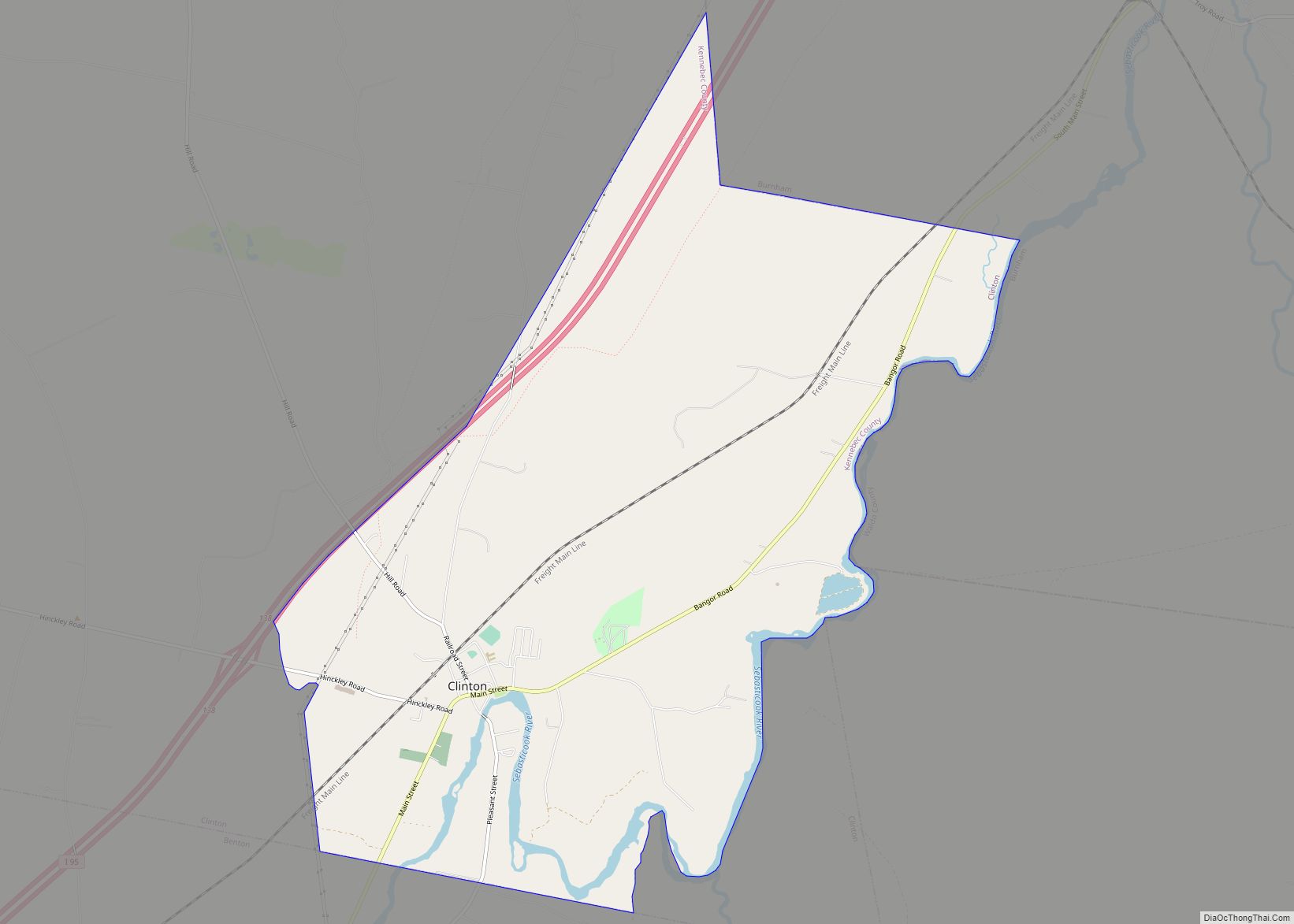
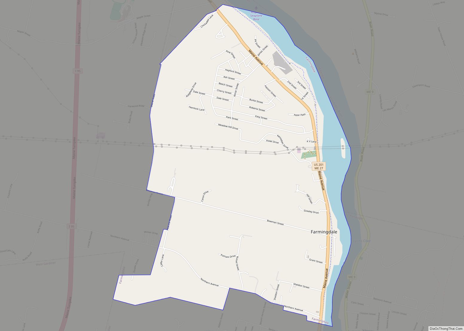
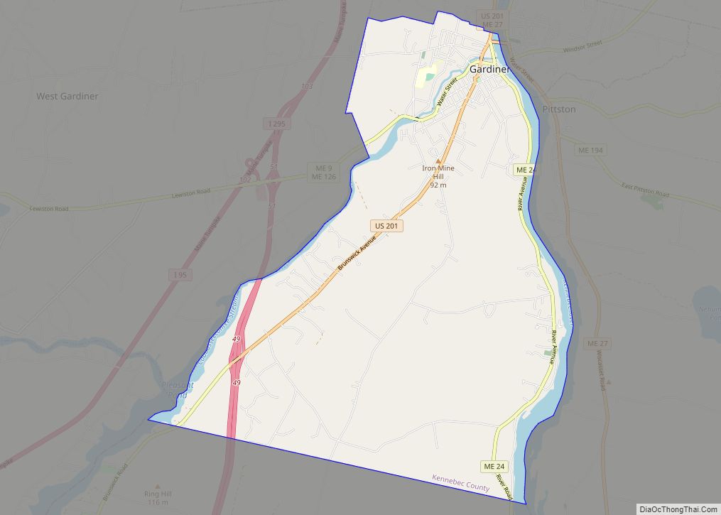
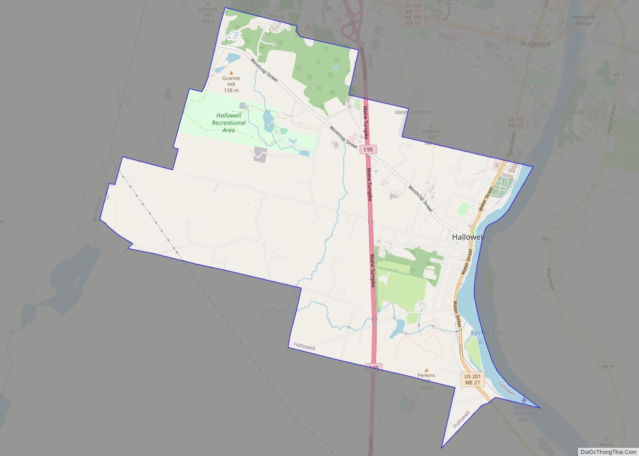
Kennebec County is a county located in the South-central portion of the U.S. state of Maine. At the 2020 census, the population was 123,642. Its county seat is Augusta, the state capital. The county was established on February 20, 1799, from portions of Cumberland and Lincoln Counties. The name Kennebec comes from the Eastern Abenaki /kínipekʷ/, meaning “large body of still water, large bay.”
Kennebec County comprises the Augusta–Waterville, ME Micropolitan Statistical Area.
In 2010, the center of population of Maine was in Kennebec County, in the city of Augusta.
| Name: | Kennebec County |
|---|---|
| FIPS code: | 23-011 |
| State: | Maine |
| Founded: | 1799 |
| Named for: | Kennebec River |
| Seat: | Augusta |
| Largest city: | Augusta |
| Total Area: | 951 sq mi (2,460 km²) |
| Land Area: | 868 sq mi (2,250 km²) |
| Total Population: | 123,642 |
| Population Density: | 130/sq mi (50/km²) |
| Time zone: | UTC−5 (Eastern) |
| Summer Time Zone (DST): | UTC−4 (EDT) |
| Website: | www.kennebeccounty.org |
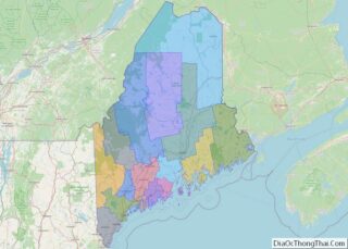
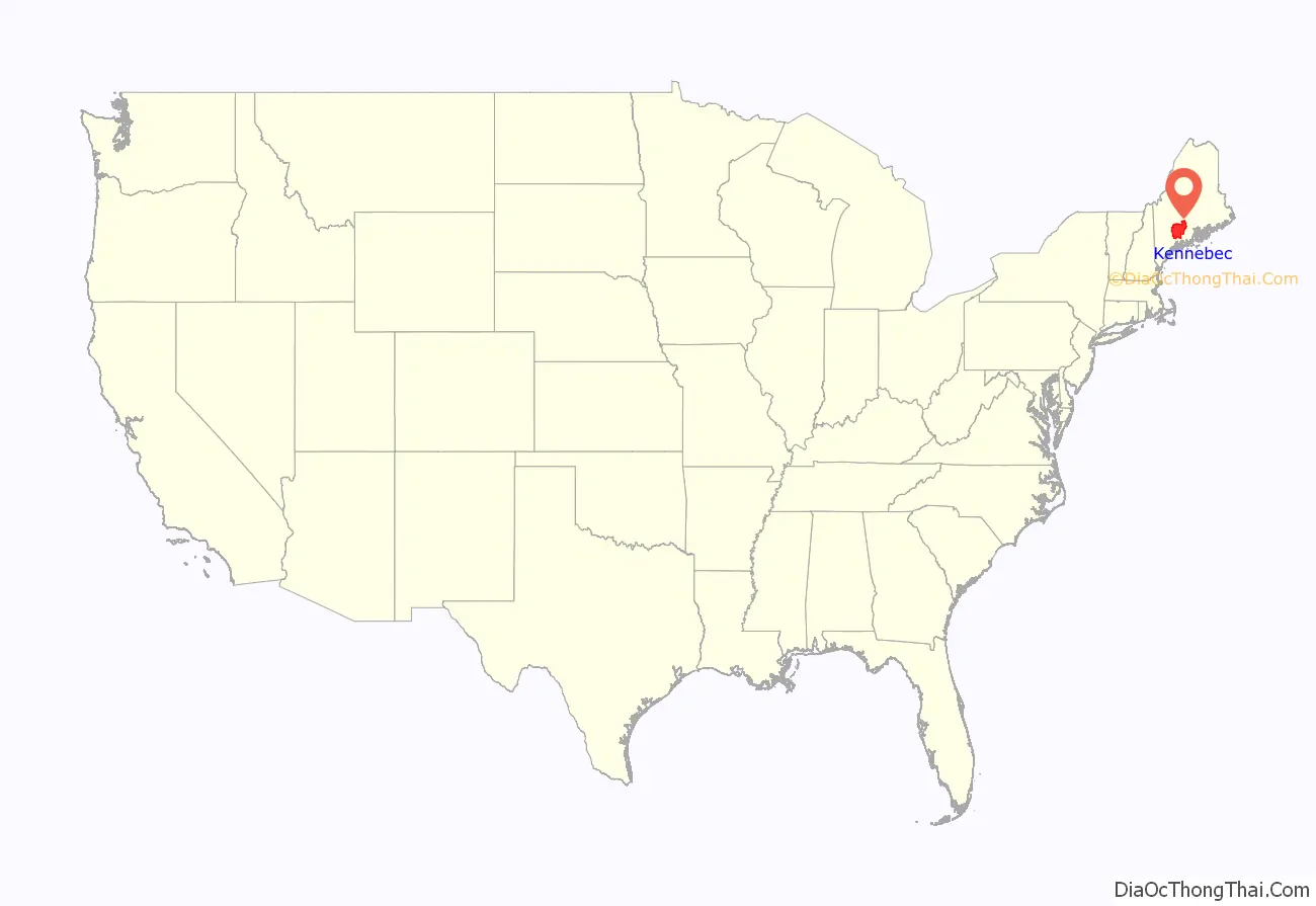
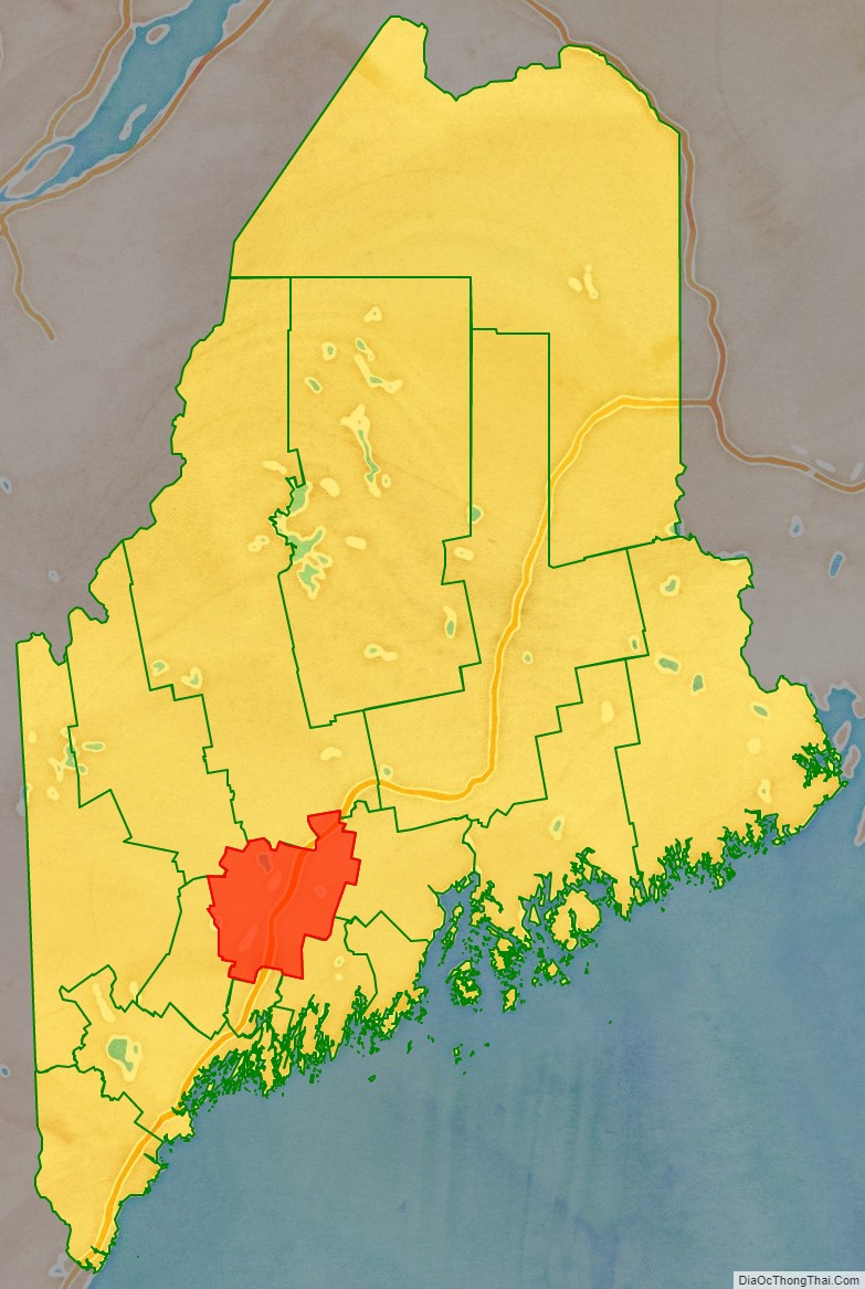
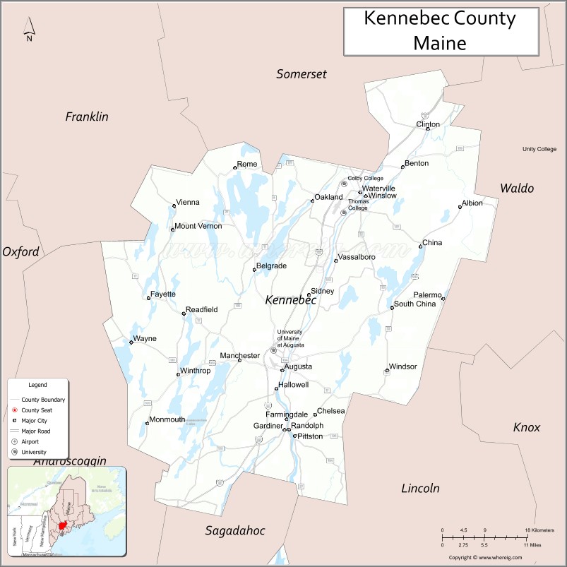
Kennebec County location map. Where is Kennebec County?
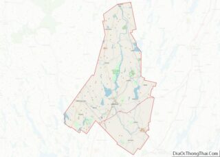
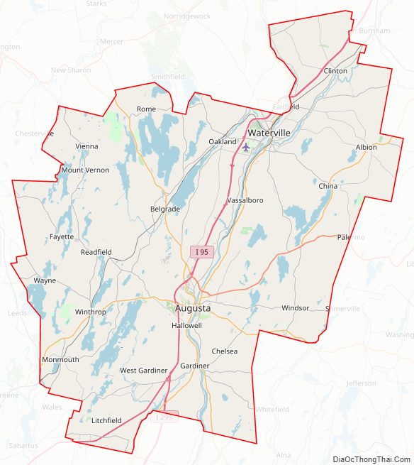
Kennebec County Road Map
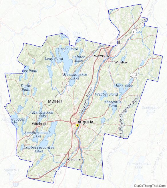
Geography
According to the U.S. Census Bureau, the county has a total area of 951 square miles (2,460 km), of which 868 square miles (2,250 km) is land and 84 square miles (220 km) (8.8%) is water.
Adjacent counties
- Somerset County – north
- Waldo County – east
- Sagadahoc County – south
- Lincoln County – south
- Androscoggin County – southwest
- Franklin County – northwest
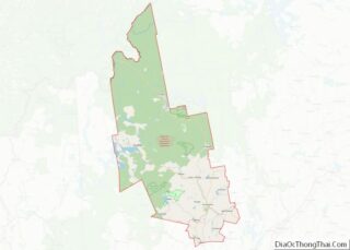
Kennebec County Topographic Map
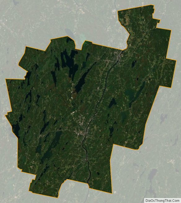
Kennebec County Satellite Map
Kennebec County Outline Map