Waterville is a city in Kennebec County, Maine, United States, on the west bank of the Kennebec River. The city is home to Colby College and Thomas College. As of the 2020 census the population was 15,828. Along with Augusta, Waterville is one of the principal cities of the Augusta-Waterville, ME Micropolitan Statistical Area.
| Name: | Waterville city |
|---|---|
| LSAD Code: | 25 |
| LSAD Description: | city (suffix) |
| State: | Maine |
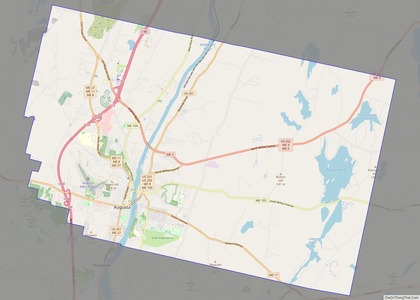
| County: | Kennebec County |
| Incorporated: | January 12, 1888 |
| Elevation: | 108 ft (33 m) |
| Total Area: | 14.01 sq mi (36.28 km²) |
| Land Area: | 13.53 sq mi (35.05 km²) |
| Water Area: | 0.47 sq mi (1.23 km²) |
| Total Population: | 15,828 |
| Population Density: | 1,169.67/sq mi (451.60/km²) |
| ZIP code: | 04901 |
| Area code: | 207 |
| FIPS code: | 2380740 |
| GNISfeature ID: | 0577893 |
| Website: | www.waterville-me.gov |
Online Interactive Map
Click on ![]() to view map in "full screen" mode.
to view map in "full screen" mode.
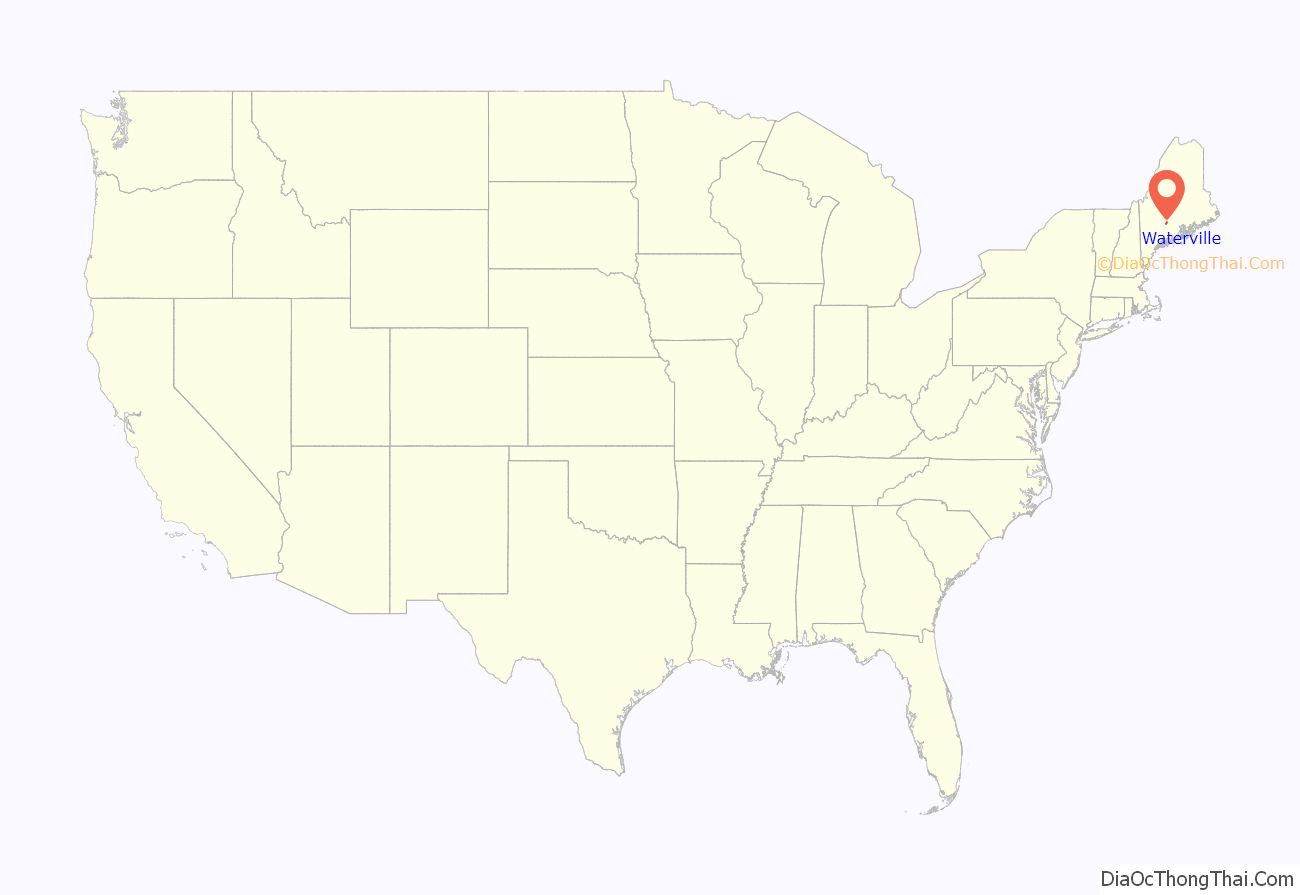
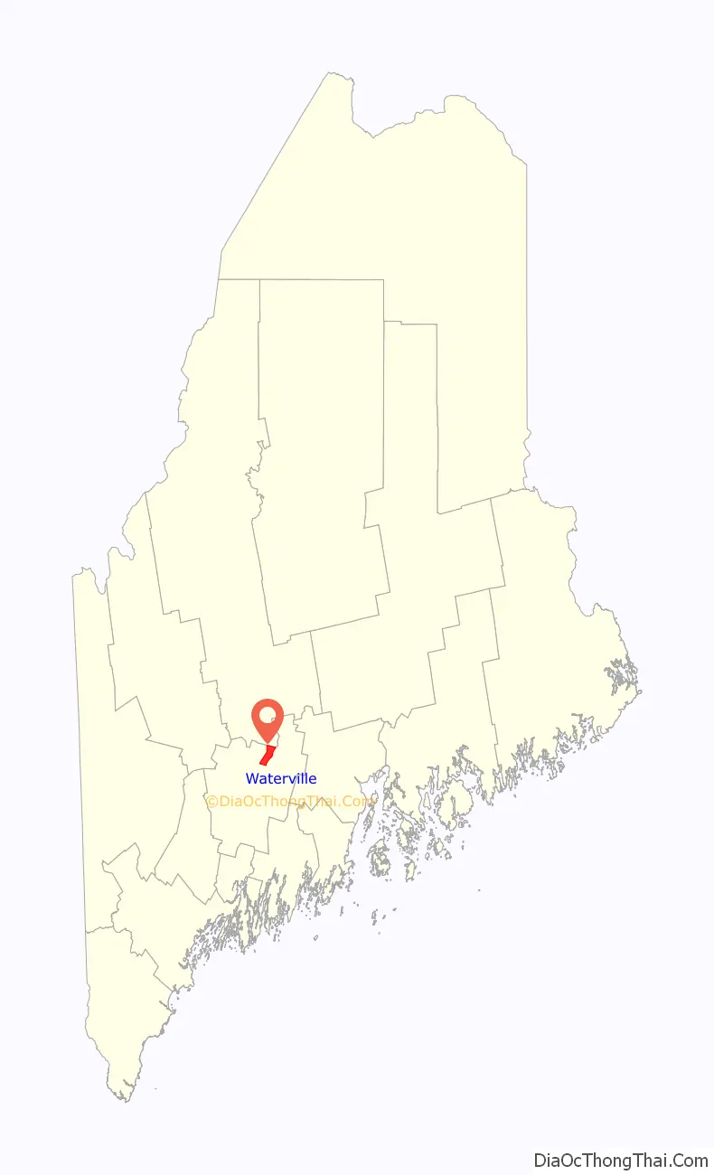
Waterville location map. Where is Waterville city?
History
The area now known as Waterville was once inhabited by the Canibas tribe of the Abenaki people. Called “Taconnet” after Chief Taconnet, the main village was located on the east bank of the Kennebec River at its confluence with the Sebasticook River at what is now Winslow. Known as “Ticonic” by English settlers, it was burned in 1692 during King William’s War, after which the Canibas tribe abandoned the area. Fort Halifax was built by General John Winslow in 1754, and the last skirmish with indigenous peoples occurred on May 18, 1757.
The township would be organized as Kingfield Plantation, then incorporated as Winslow in 1771. When residents on the west side of the Kennebec found themselves unable to cross the river to attend town meetings, Waterville was founded from the western parts of Winslow and incorporated on June 23, 1802. In 1824 a bridge was built joining the communities. Early industries included fishing, lumbering, agriculture and ship building, with larger boats launched in spring during freshets. By the early 1900s, there were five shipyards in the community.
Ticonic Falls blocked navigation farther upriver, so Waterville developed as the terminus for trade and shipping. The Kennebec River and Messalonskee Stream provided water power for mills, including several sawmills, a gristmill, a sash and blind factory, a furniture factory, and a shovel handle factory. There was also a carriage and sleigh factory, boot shop, brickyard, and tannery. On September 27, 1849, the Androscoggin and Kennebec Railroad opened to Waterville. It would become part of the Maine Central Railroad, which in 1870 established locomotive and car repair shops in the thriving mill town. West Waterville (renamed Oakland) was set off as a town in 1873. Waterville was incorporated as a city on January 12, 1888.
The Ticonic Water Power & Manufacturing Company was formed in 1866 and soon built a dam across the Kennebec. After a change of ownership in 1873, the company began construction on what would become the Lockwood Manufacturing Company, a cotton textile plant. A second mill was added, and by 1900 the firm dominated the riverfront and employed 1,300 workers. Lockwood Mills survived until the mid-1950s. The iron Waterville-Winslow Footbridge opened in 1901, as a means for Waterville residents to commute to Winslow for work in the Hollingsworth & Whitney Co. and Wyandotte Worsted Co. mills, but in less than a year was carried away by the highest river level since 1832. Rebuilt in 1903, it would be called the Two Cent Bridge because of its toll. In 1902, the Beaux-Arts style City Hall and Opera House designed by George Gilman Adams was dedicated. In 2002, the C.F. Hathaway Company, one of the last remaining factories in the United States producing high-end dress shirts, was purchased by Warren Buffett’s Berkshire Hathaway company and was closed after over 160 years of operation in the city.
Waterville also developed as an educational center. In 1813, the Maine Literary and Theological Institution was established. It would be renamed Waterville College in 1821, then Colby College in 1867. Thomas College was established in 1894. The Latin School was founded in 1820 to prepare students to attend Colby and other colleges, and was subsequently named Waterville Academy, Waterville Classical Institute, and Coburn Classical Institute; the Institute merged with the Oak Grove School in Vassalboro in 1970, and remained open until 1989. The first public high school was built in 1877, while the current Waterville Senior High School was built in 1961.
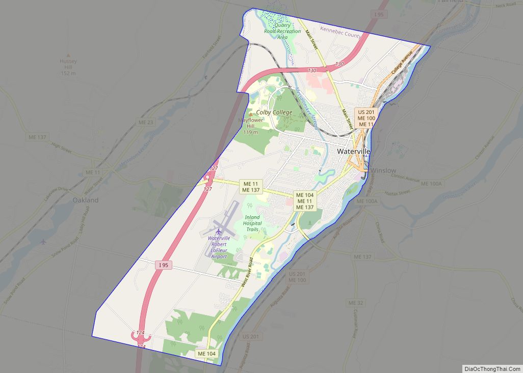
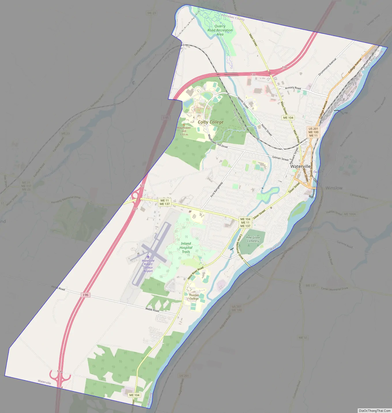
Waterville Road Map
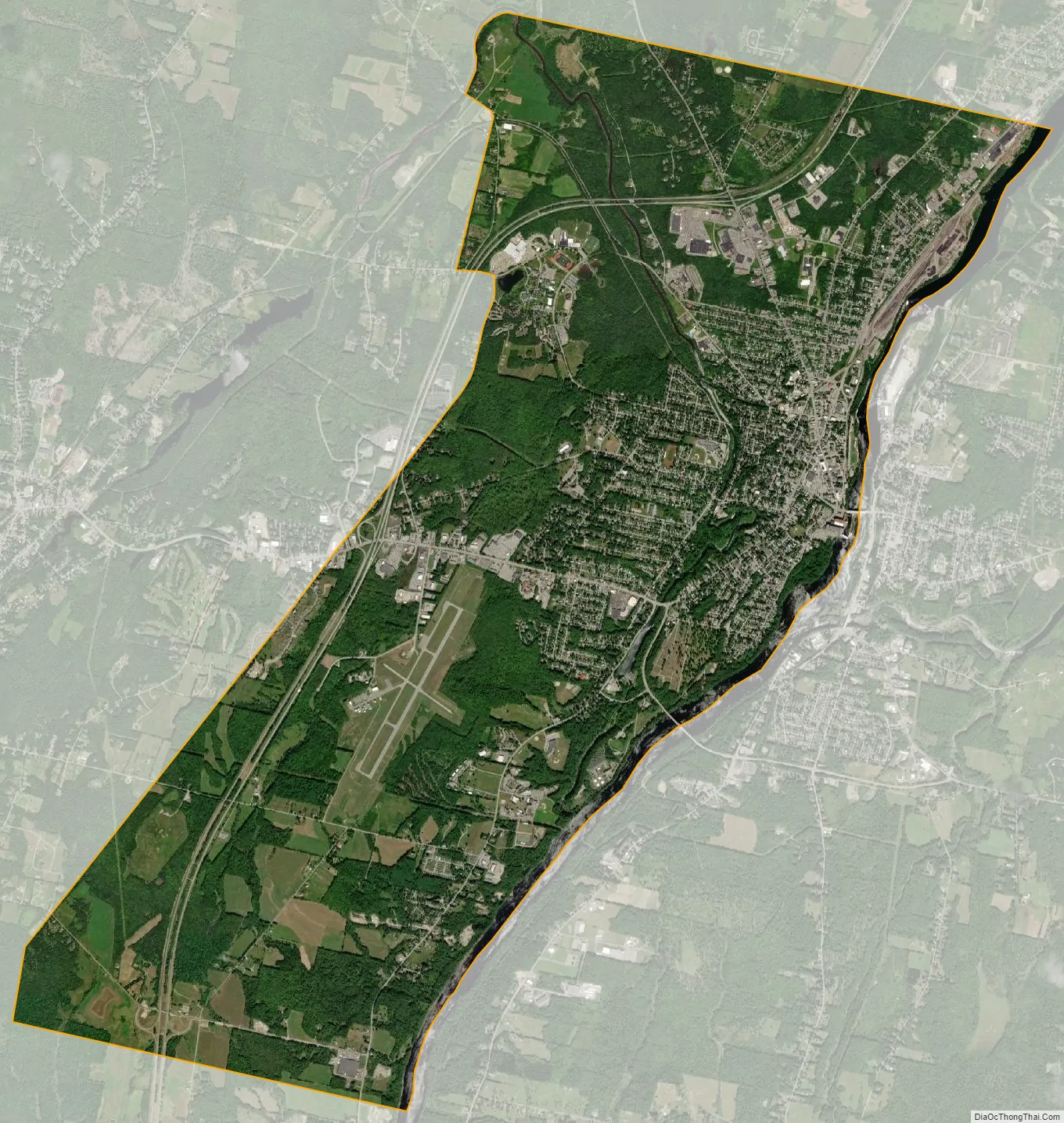
Waterville city Satellite Map
Geography
Waterville is located in northern Kennebec County in the central part of the state, located at 44°33′07″N 69°38′45″W / 44.552051°N 69.645839°W / 44.552051; -69.645839. Its northern boundary is the Somerset County line.
According to the United States Census Bureau, the city has a total area of 14.05 square miles (36.39 km), of which 13.58 square miles (35.17 km) are land and 0.47 square miles (1.22 km), or 3.36%, are water. Situated beside the Kennebec River, Waterville is drained by the Messalonskee Stream.
Waterville is served by Interstate 95, U.S. Route 201, and Maine State Routes 137 and 104. It is bordered by Fairfield on the north in Somerset County, Winslow on the east, Sidney on the south and Oakland on the west.
Climate
This climatic region is typified by large seasonal temperature differences, with warm to hot (and often humid) summers and cold (sometimes severely cold) winters. According to the Köppen Climate Classification system, Waterville has a humid continental climate, abbreviated “Dfb” on climate maps.
See also
Map of Maine State and its subdivision: Map of other states:- Alabama
- Alaska
- Arizona
- Arkansas
- California
- Colorado
- Connecticut
- Delaware
- District of Columbia
- Florida
- Georgia
- Hawaii
- Idaho
- Illinois
- Indiana
- Iowa
- Kansas
- Kentucky
- Louisiana
- Maine
- Maryland
- Massachusetts
- Michigan
- Minnesota
- Mississippi
- Missouri
- Montana
- Nebraska
- Nevada
- New Hampshire
- New Jersey
- New Mexico
- New York
- North Carolina
- North Dakota
- Ohio
- Oklahoma
- Oregon
- Pennsylvania
- Rhode Island
- South Carolina
- South Dakota
- Tennessee
- Texas
- Utah
- Vermont
- Virginia
- Washington
- West Virginia
- Wisconsin
- Wyoming