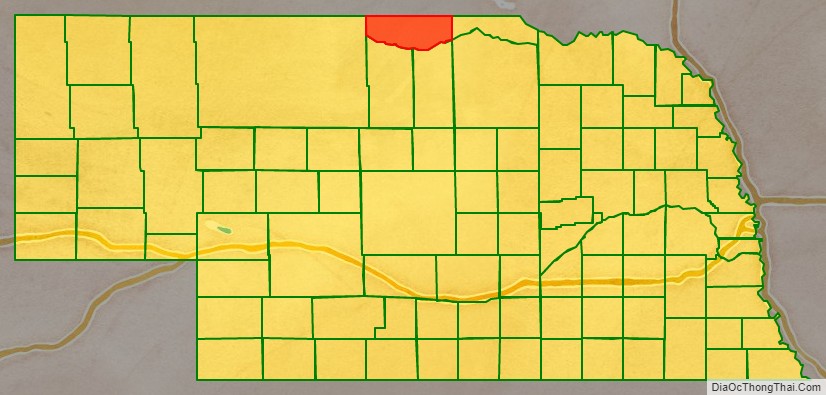
Keya Paha County (/ˈkɪpəhɔː/ KIP-ə-haw) is a county in the U.S. state of Nebraska. As of the 2010 United States Census, the population was 824. Its county seat is Springview.
In the Nebraska license plate system, Keya Paha County is represented by the prefix 82 (it had the 82nd-largest number of vehicles registered in the county when the license plate system was established in 1922).
| Name: | Keya Paha County |
|---|---|
| FIPS code: | 31-103 |
| State: | Nebraska |
| Founded: | 4 November 1884 |
| Named for: | Dakota for “Turtle Hill River” |
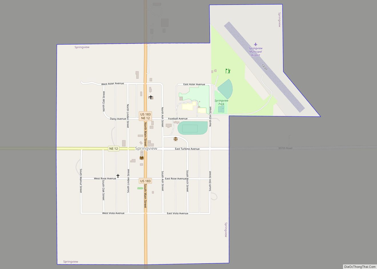
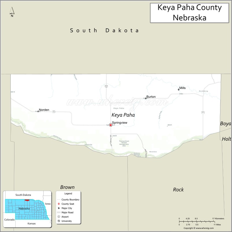
| Seat: | Springview |
| Total Area: | 774 sq mi (2,000 km²) |
| Land Area: | 773 sq mi (2,000 km²) |
| Total Population: | 787 |
| Population Density: | 1.0/sq mi (0.4/km²) |
| Time zone: | UTC−6 (Central) |
| Summer Time Zone (DST): | UTC−5 (CDT) |
| Website: | www.co.keya-paha.ne.us |
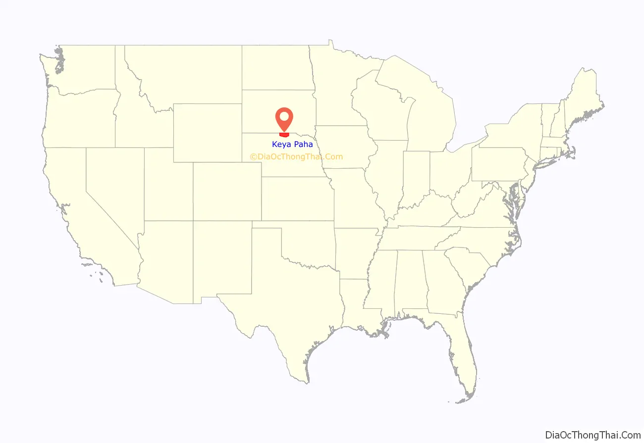
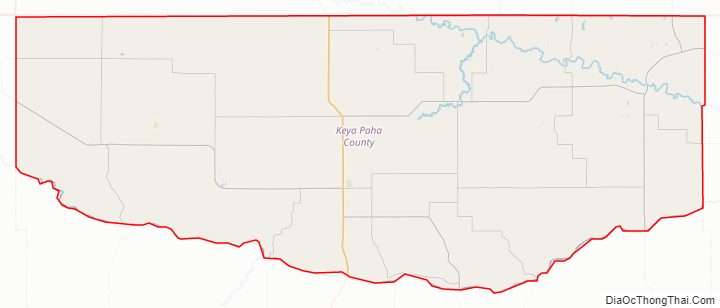
Keya Paha County location map. Where is Keya Paha County?
History
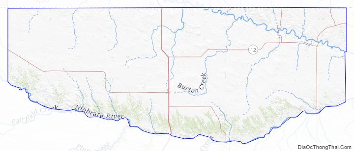
The name “Keya Paha” is taken from the Dakota language; literally translated, it means “turtle hill”. The Dakota name for a set of small hills was given to the county and to the Keya Paha River, which runs through it.
All land north of the Keya Paha River (which includes a small portion of Keya Paha County and most of neighboring Boyd County) was not originally part of Nebraska at the time of statehood, but was transferred from Dakota Territory in 1882.
Keya Paha County was organized in 1884 of land partitioned from Brown County.
Keya Paha County Road Map
Geography
Keya Paha County lies on the northern boundary of Nebraska, abutting the state of South Dakota. The county’s terrain consists of low rolling hills, whose level areas are used for agriculture, including center pivot irrigation. The Keya Paha River flows east-southeastward through the northeastern part of the county, while the Niobrara River flows eastward along the south county line. The county has a total area of 774 square miles (2,000 km), of which 773 square miles (2,000 km) is land and 0.8 square miles (2.1 km) (0.1%) is water.
Keya Paha County is located in Nebraska’s Outback region.
Major highways
- U.S. Highway 183
- Nebraska Highway 7
- Nebraska Highway 12
- Nebraska Highway 137
Adjacent counties
- Tripp County, South Dakota – north
- Gregory County, South Dakota – northeast
- Boyd County – east
- Holt County – southeast
- Rock County – south
- Brown County – south
- Cherry County – west
- Todd County, South Dakota – northwest
National protected area
- Niobrara National Scenic River (part)
Keya Paha County Topographic Map
Keya Paha County Satellite Map
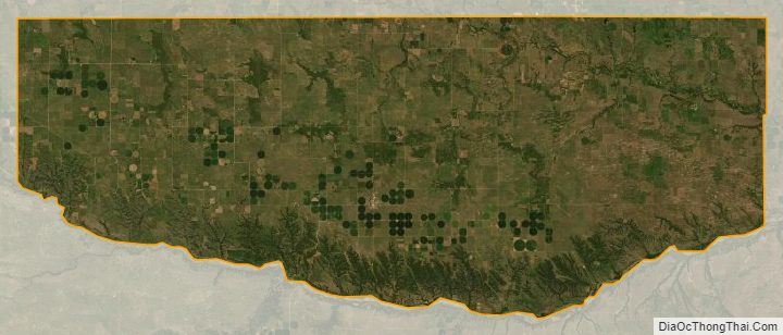
Keya Paha County Outline Map