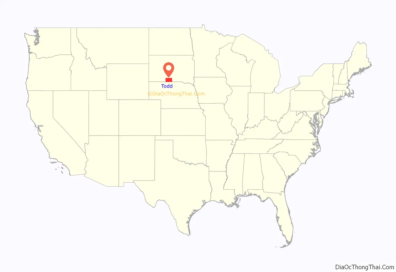
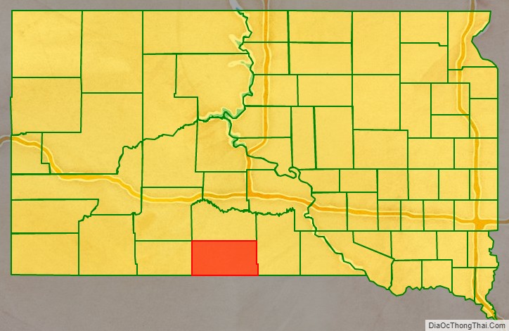
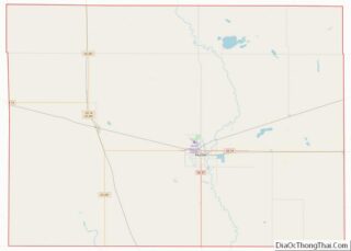
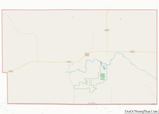
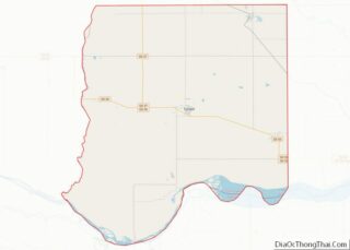
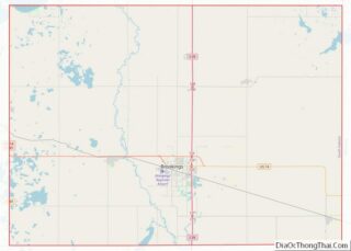
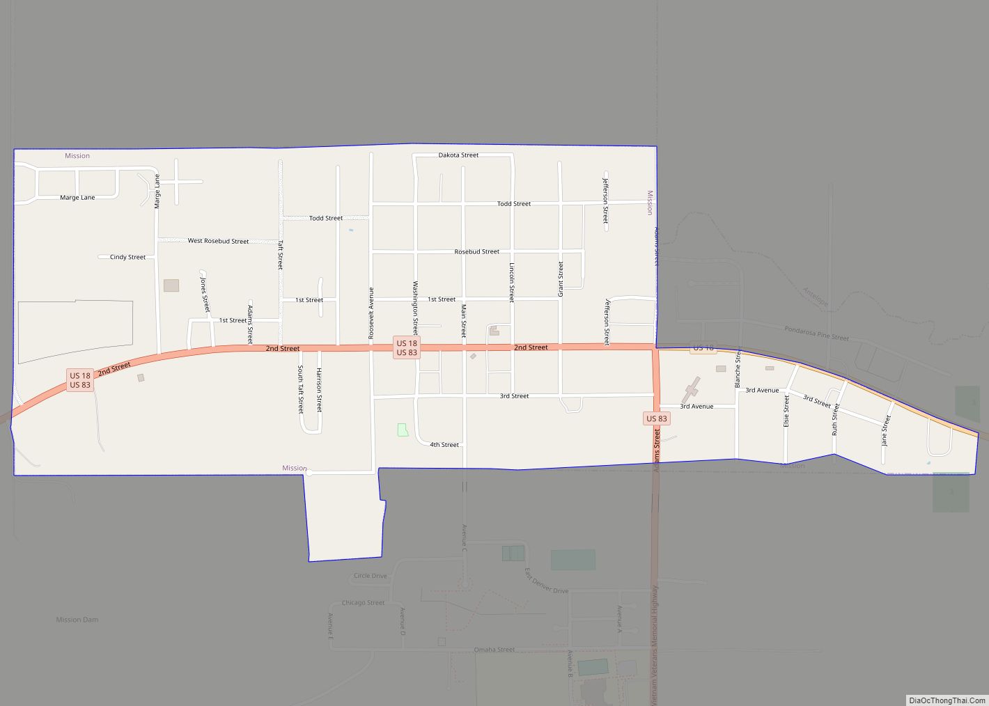
Todd County is a county in the U.S. state of South Dakota. As of the 2020 United States Census, the population was 9,319. Todd County does not have its own county seat. Instead, Winner in neighboring Tripp County serves as its administrative center. Its largest city is Mission. The county was created in 1909, although it remains unorganized. The county was named for John Blair Smith Todd, a delegate from Dakota Territory to the United States House of Representatives and a Civil War general.
The county lies entirely within the Rosebud Indian Reservation and is coterminous with the main reservation (exclusive of off-reservation trust lands, which lie in four nearby counties). Its southern border is with the state of Nebraska. It is one of five South Dakota counties entirely within an Indian reservation. The county’s per-capita income makes it the third poorest county in the United States. Unlike many rural counties in South Dakota, since 1960, its net population has increased.
| Name: | Todd County |
|---|---|
| FIPS code: | 46-121 |
| State: | South Dakota |
| Founded: | 1909 |
| Named for: | John Blair Smith Todd |
| Seat: | None (de jure) Winner (de facto) |
| Largest city: | Mission |
| Total Area: | 1,391 sq mi (3,600 km²) |
| Land Area: | 1,389 sq mi (3,600 km²) |
| Total Population: | 9,319 |
| Population Density: | 6.7/sq mi (2.6/km²) |
| Time zone: | UTC−6 (Central) |
| Summer Time Zone (DST): | UTC−5 (CDT) |
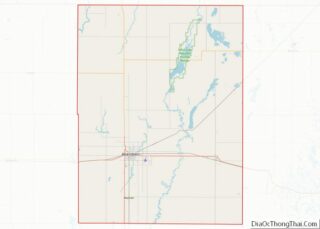
Todd County location map. Where is Todd County?
History
Until 1981 Todd, Shannon (now Oglala Lakota), and Washabaugh were the last unorganized counties in the United States. Although then organized, Todd did not receive a home rule charter until 1983. It contracts with Tripp County for its Auditor, Treasurer, and Registrar of Deeds.
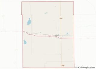
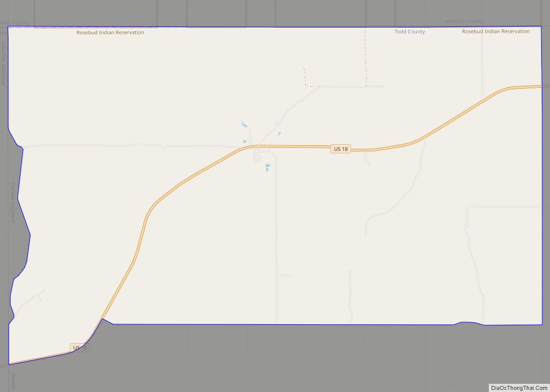
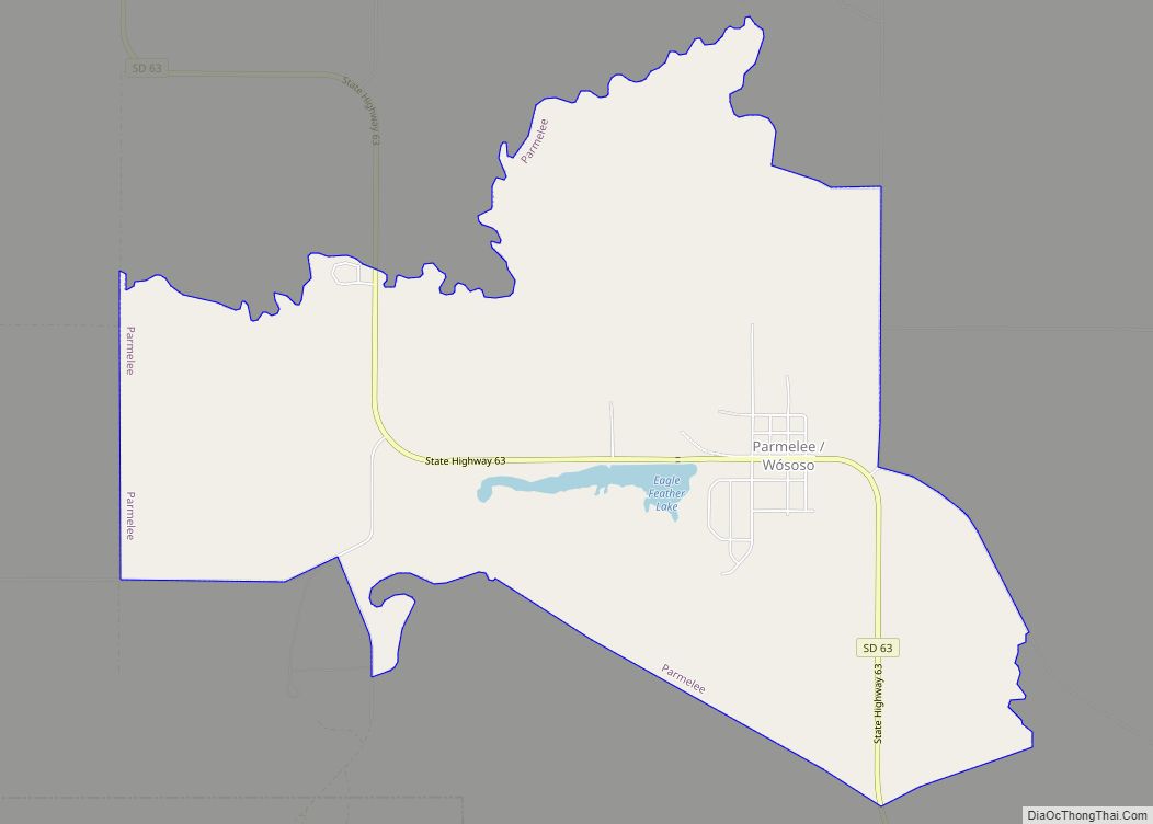
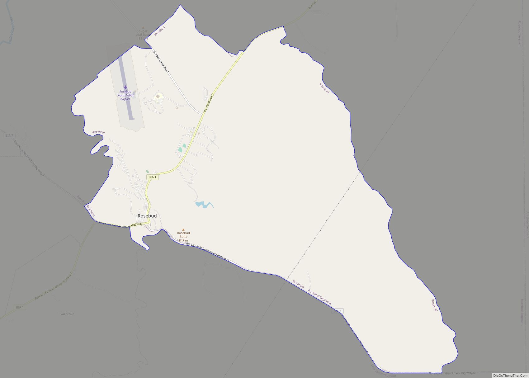
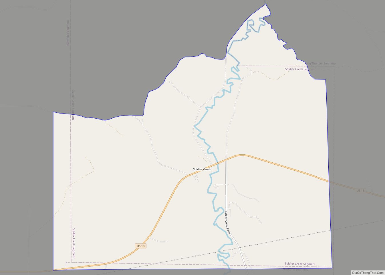
Todd County Road Map
Geography
Todd County lies on the south line of South Dakota. Its south boundary line abuts the north boundary line of the state of Nebraska. Its terrain consists of semi-arid rolling hills, cut by gullies and drainages which flow to the northeast. The land is partially dedicated to agriculture, including center pivot irrigation. The terrain slopes to the northeast, and its highest point is near the SW corner, at 3,176′ (968m) ASL.
The eastern portion of South Dakota’s counties (48 of 66) observe Central Time; the western counties (18 of 66) observe Mountain Time. Todd County is the westernmost of the SD counties to observe Central Time.
Todd County has a total area of 1,391 square miles (3,600 km), of which 1,389 square miles (3,600 km) is land and 2.3 square miles (6.0 km) (0.2%) is water.
Major highways
- U.S. Highway 18
- U.S. Highway 83
- South Dakota Highway 63
Adjacent counties
- Mellette County – north
- Tripp County – east
- Cherry County, Nebraska – south (western half observes Mountain Time)
- Keya Paha County, Nebraska – southeast
- Bennett County – west (observes Mountain Time)
- Jackson County – northwest (observes Mountain Time)
Protected areas
- Hollow Horn Bear Village
Lakes
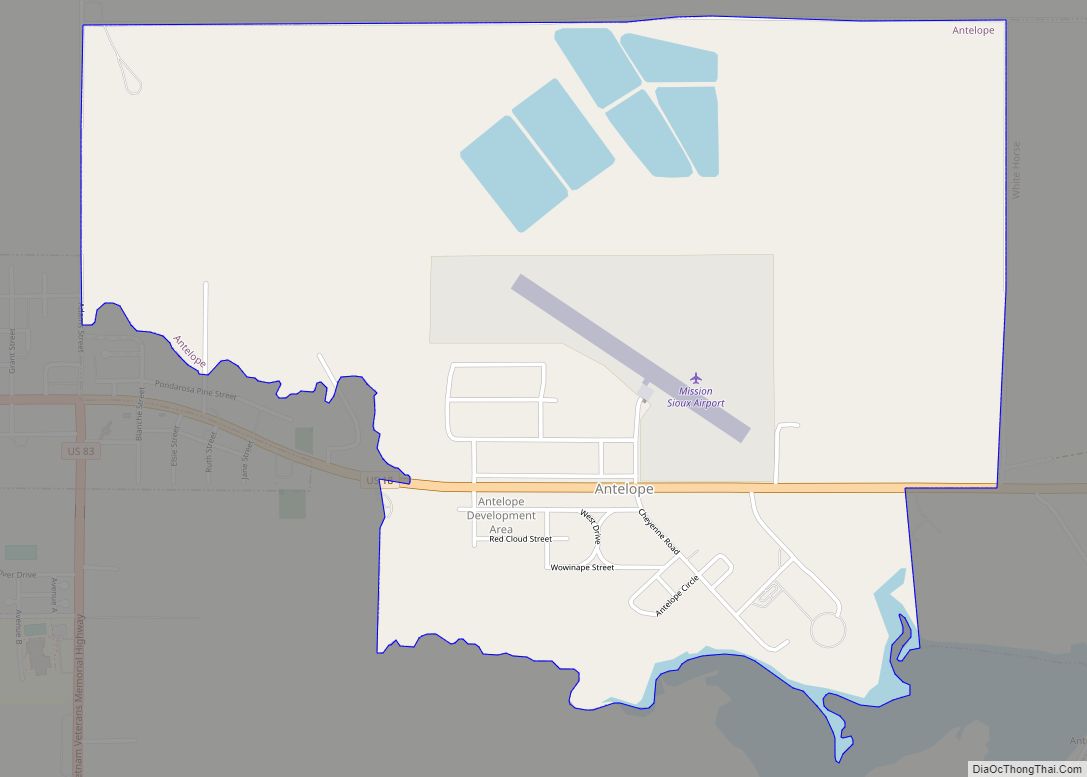
- Antelope Lake
- He Dog Lake
- White Lake
