Mount Vernon is a city in Knox County, Ohio, United States. It is located 40 miles (64 km) northeast of Columbus. The population was 16,990 at the 2010 census. It is the county seat of Knox County.
| Name: | Mount Vernon city |
|---|---|
| LSAD Code: | 25 |
| LSAD Description: | city (suffix) |
| State: | Ohio |
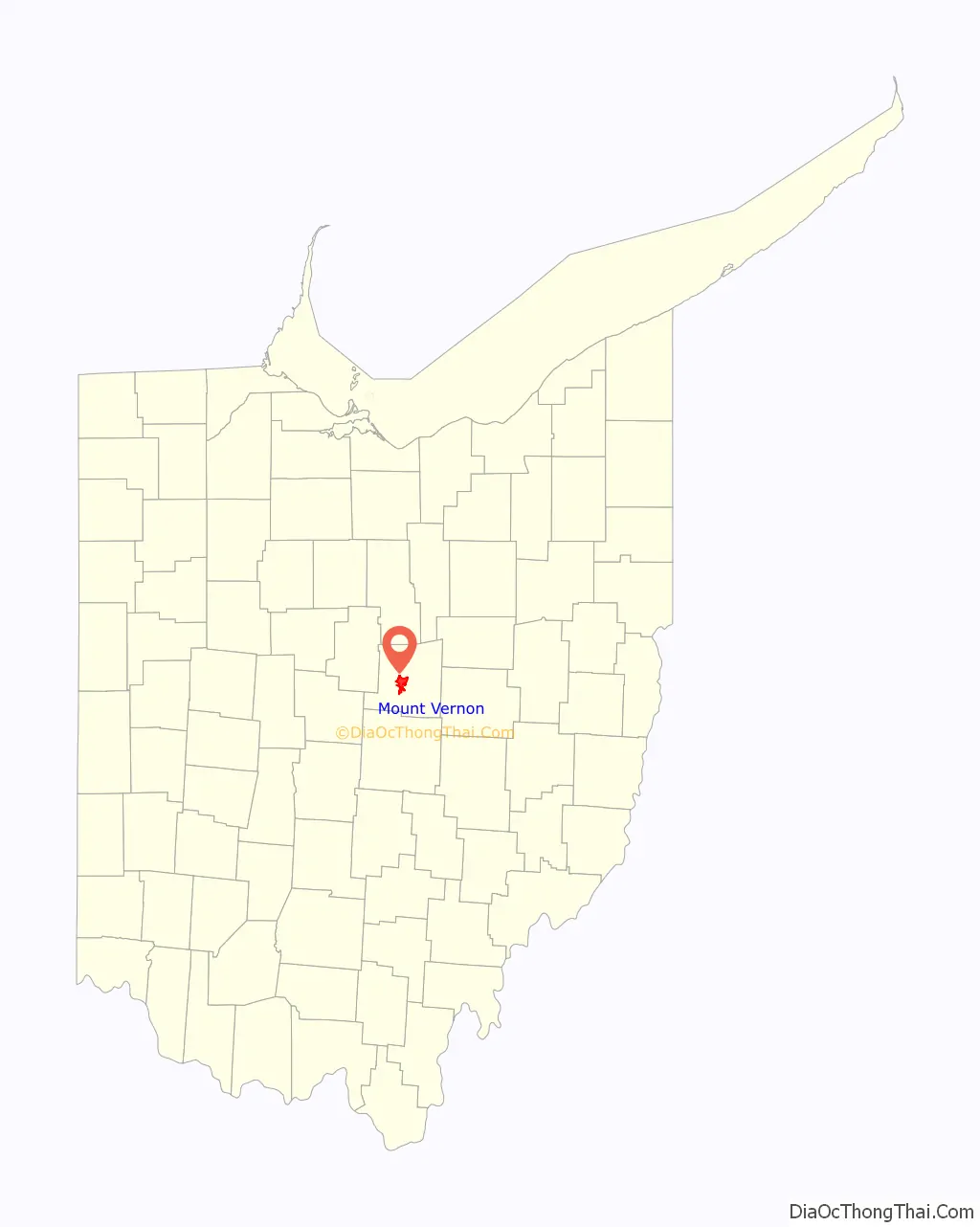
| County: | Knox County |
| Elevation: | 1,001 ft (305 m) |
| Total Area: | 9.91 sq mi (25.68 km²) |
| Land Area: | 9.73 sq mi (25.20 km²) |
| Water Area: | 0.18 sq mi (0.48 km²) |
| Total Population: | 16,956 |
| Population Density: | 1,742.65/sq mi (672.82/km²) |
| ZIP code: | 43050 |
| Area code: | 740 |
| FIPS code: | 3953102 |
| GNISfeature ID: | 1056436 |
| Website: | mountvernonohio.org |
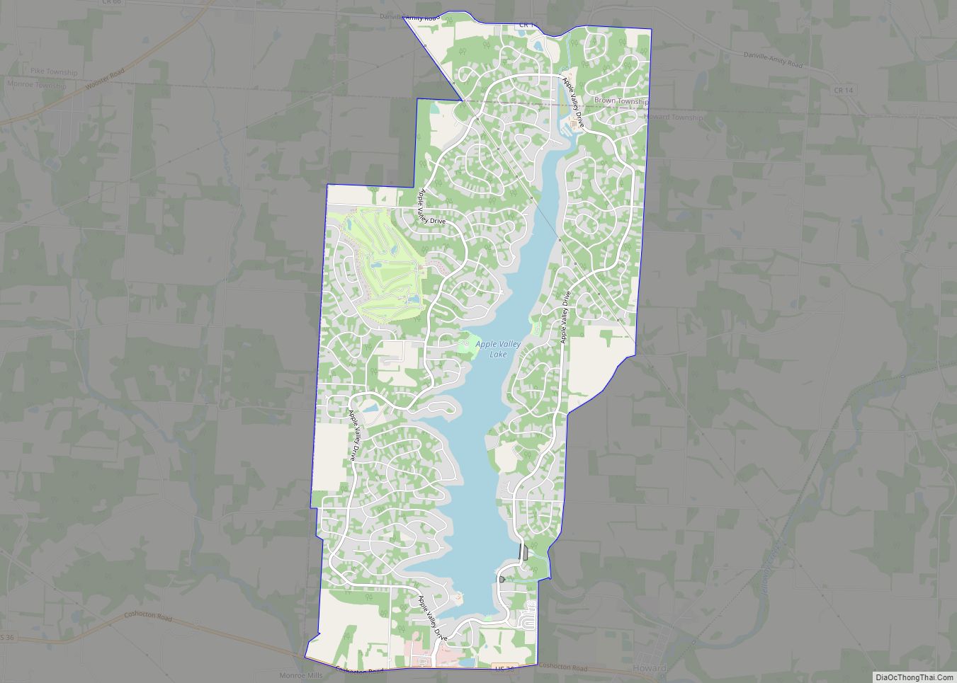
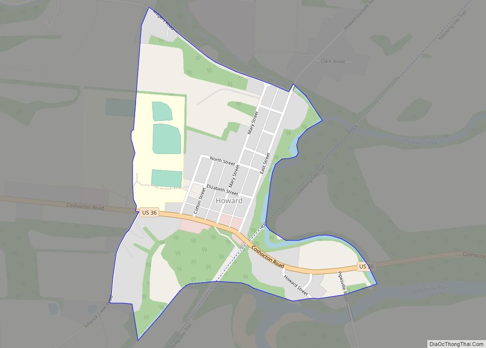
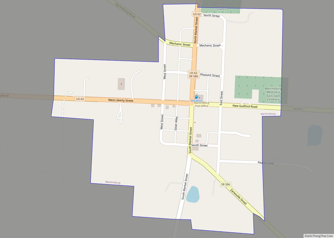
Online Interactive Map
Click on ![]() to view map in "full screen" mode.
to view map in "full screen" mode.
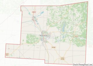
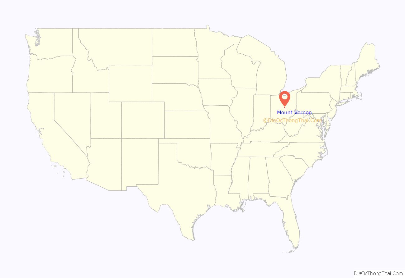
Mount Vernon location map. Where is Mount Vernon city?
History
The community was platted in 1805, and named after Mount Vernon, the estate owned by George Washington.
In May 1953, the telephone exchange for the entire city was destroyed by fire, disrupting calls for months.
In January 1959, a severe flood caused 500 homes to be evacuated and caused $5 million in damage.
In October of 2021, a board of clergy and activists unanimously voted to start a chapter of PFLAG in Mount Vernon. PFLAG will be the second LGBTQ+ organization formed in Knox County.
Historic sites
The Woodward Opera House, the oldest opera theater of its kind in the United States, is located downtown. The theater, after many years of renovation and restoration, has been transformed into a local cultural and performing-arts center.
The Knox County Historical Society, with a building and extensive exhibits, makes its headquarters on Harcourt Road in Mount Vernon. Exhibits feature information about Daniel Decatur Emmett, Paul Lynde, The Cooper Company and other subjects.
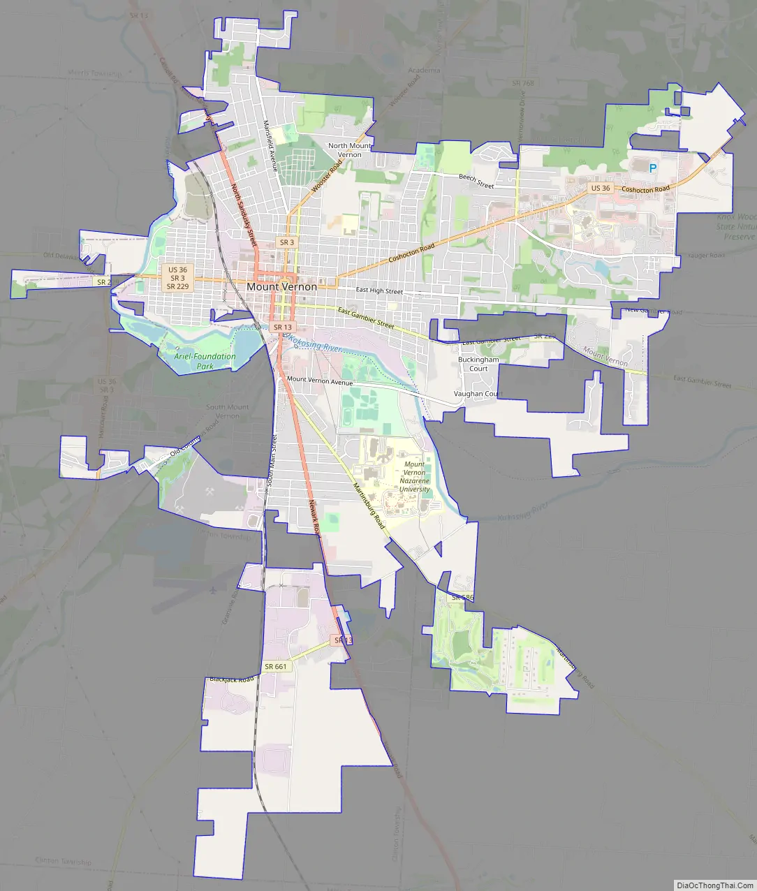
Mount Vernon Road Map
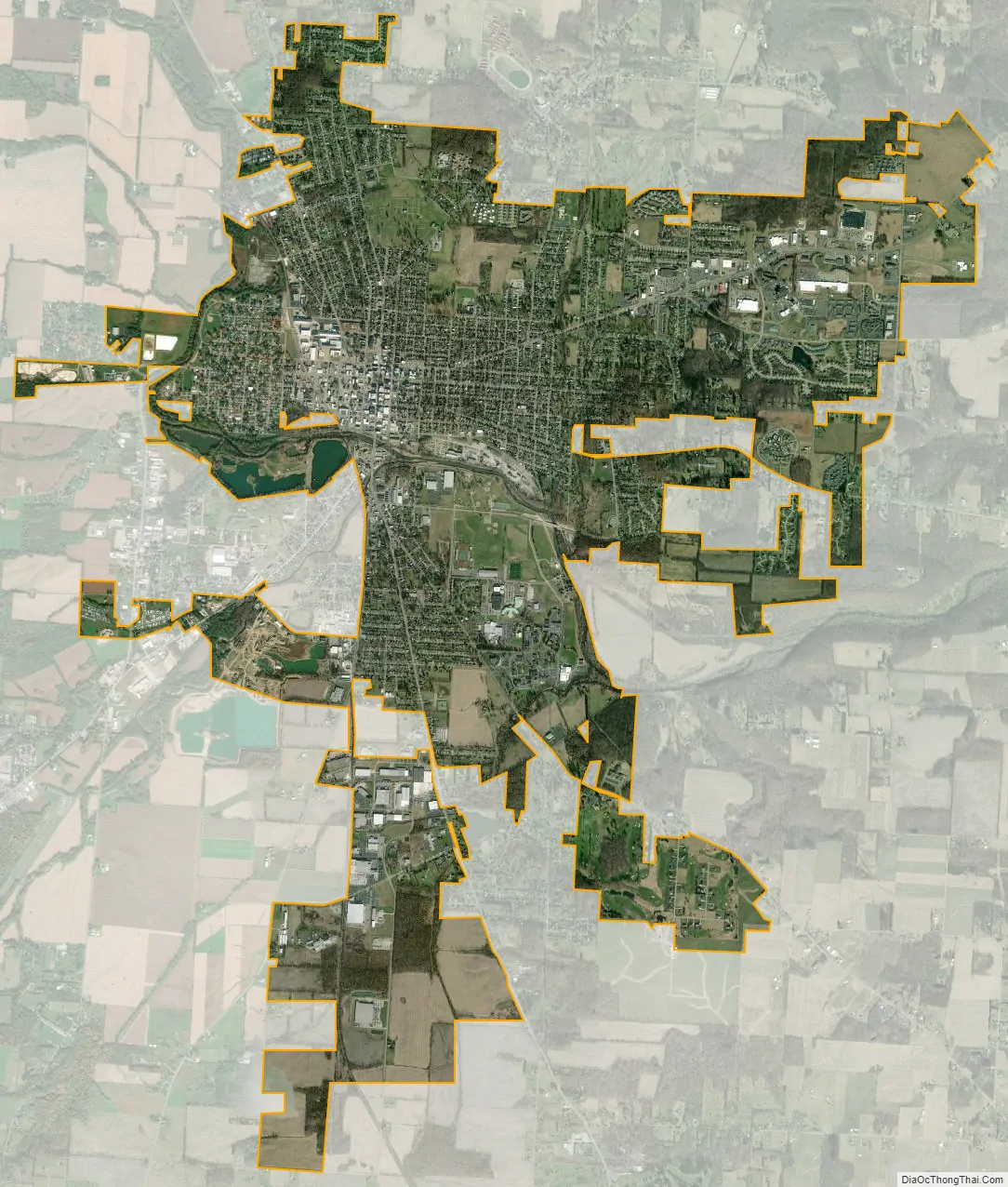
Mount Vernon city Satellite Map
Geography
Mount Vernon is located at 40°23′34″N 82°28′52″W / 40.39278°N 82.48111°W / 40.39278; -82.48111 (40.392738, −82.481151).
According to the United States Census Bureau, the city has a total area of 9.60 square miles (24.86 km), of which 9.41 square miles (24.37 km) is land and 0.19 square miles (0.49 km) is water. The city lies in the Glaciated Allegheny Plateau and is surrounded by rolling hills and valleys.
The Kokosing River and U.S. Route 36 pass through the city.
See also
Map of Ohio State and its subdivision:- Adams
- Allen
- Ashland
- Ashtabula
- Athens
- Auglaize
- Belmont
- Brown
- Butler
- Carroll
- Champaign
- Clark
- Clermont
- Clinton
- Columbiana
- Coshocton
- Crawford
- Cuyahoga
- Darke
- Defiance
- Delaware
- Erie
- Fairfield
- Fayette
- Franklin
- Fulton
- Gallia
- Geauga
- Greene
- Guernsey
- Hamilton
- Hancock
- Hardin
- Harrison
- Henry
- Highland
- Hocking
- Holmes
- Huron
- Jackson
- Jefferson
- Knox
- Lake
- Lake Erie
- Lawrence
- Licking
- Logan
- Lorain
- Lucas
- Madison
- Mahoning
- Marion
- Medina
- Meigs
- Mercer
- Miami
- Monroe
- Montgomery
- Morgan
- Morrow
- Muskingum
- Noble
- Ottawa
- Paulding
- Perry
- Pickaway
- Pike
- Portage
- Preble
- Putnam
- Richland
- Ross
- Sandusky
- Scioto
- Seneca
- Shelby
- Stark
- Summit
- Trumbull
- Tuscarawas
- Union
- Van Wert
- Vinton
- Warren
- Washington
- Wayne
- Williams
- Wood
- Wyandot
- Alabama
- Alaska
- Arizona
- Arkansas
- California
- Colorado
- Connecticut
- Delaware
- District of Columbia
- Florida
- Georgia
- Hawaii
- Idaho
- Illinois
- Indiana
- Iowa
- Kansas
- Kentucky
- Louisiana
- Maine
- Maryland
- Massachusetts
- Michigan
- Minnesota
- Mississippi
- Missouri
- Montana
- Nebraska
- Nevada
- New Hampshire
- New Jersey
- New Mexico
- New York
- North Carolina
- North Dakota
- Ohio
- Oklahoma
- Oregon
- Pennsylvania
- Rhode Island
- South Carolina
- South Dakota
- Tennessee
- Texas
- Utah
- Vermont
- Virginia
- Washington
- West Virginia
- Wisconsin
- Wyoming