Laclede County is a county located in the U.S. state of Missouri. As of the 2010 census, the population was 35,571. Its county seat is Lebanon. The county was organized February 24, 1849, and was named after Pierre Laclède, founder of St. Louis.
Laclede County comprises the Lebanon, MO Micropolitan Statistical Area.
| Name: | Laclede County |
|---|---|
| FIPS code: | 29-105 |
| State: | Missouri |
| Founded: | February 24, 1849 |
| Named for: | Pierre Laclede |
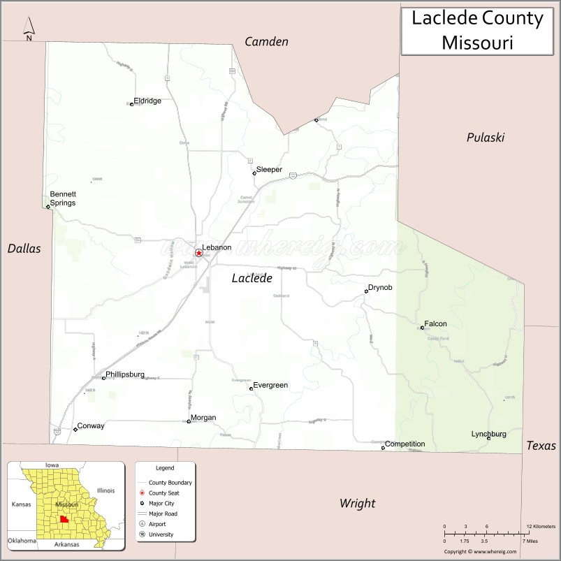
| Seat: | Lebanon |
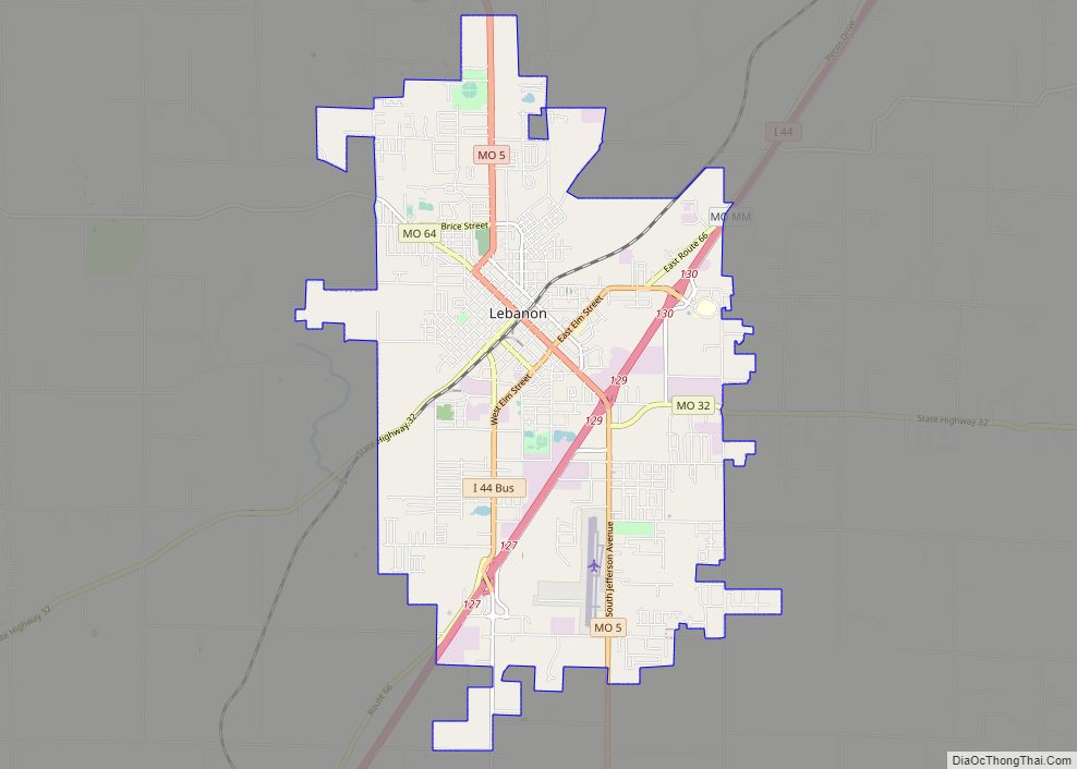
| Largest city: | Lebanon |
| Total Area: | 768 sq mi (1,990 km²) |
| Land Area: | 765 sq mi (1,980 km²) |
| Total Population: | 35,723 |
| Population Density: | 47/sq mi (18/km²) |
| Time zone: | UTC−6 (Central) |
| Summer Time Zone (DST): | UTC−5 (CDT) |
| Website: | lacledecountymissouri.org |
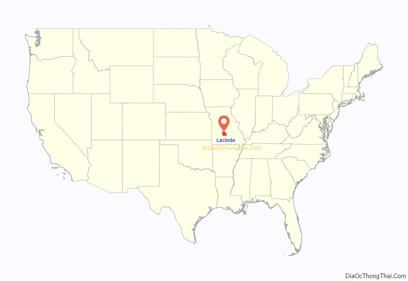
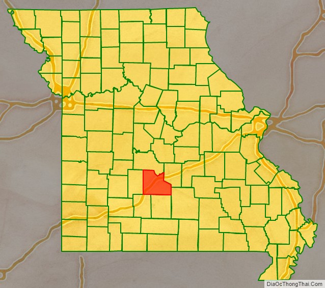
Laclede County location map. Where is Laclede County?
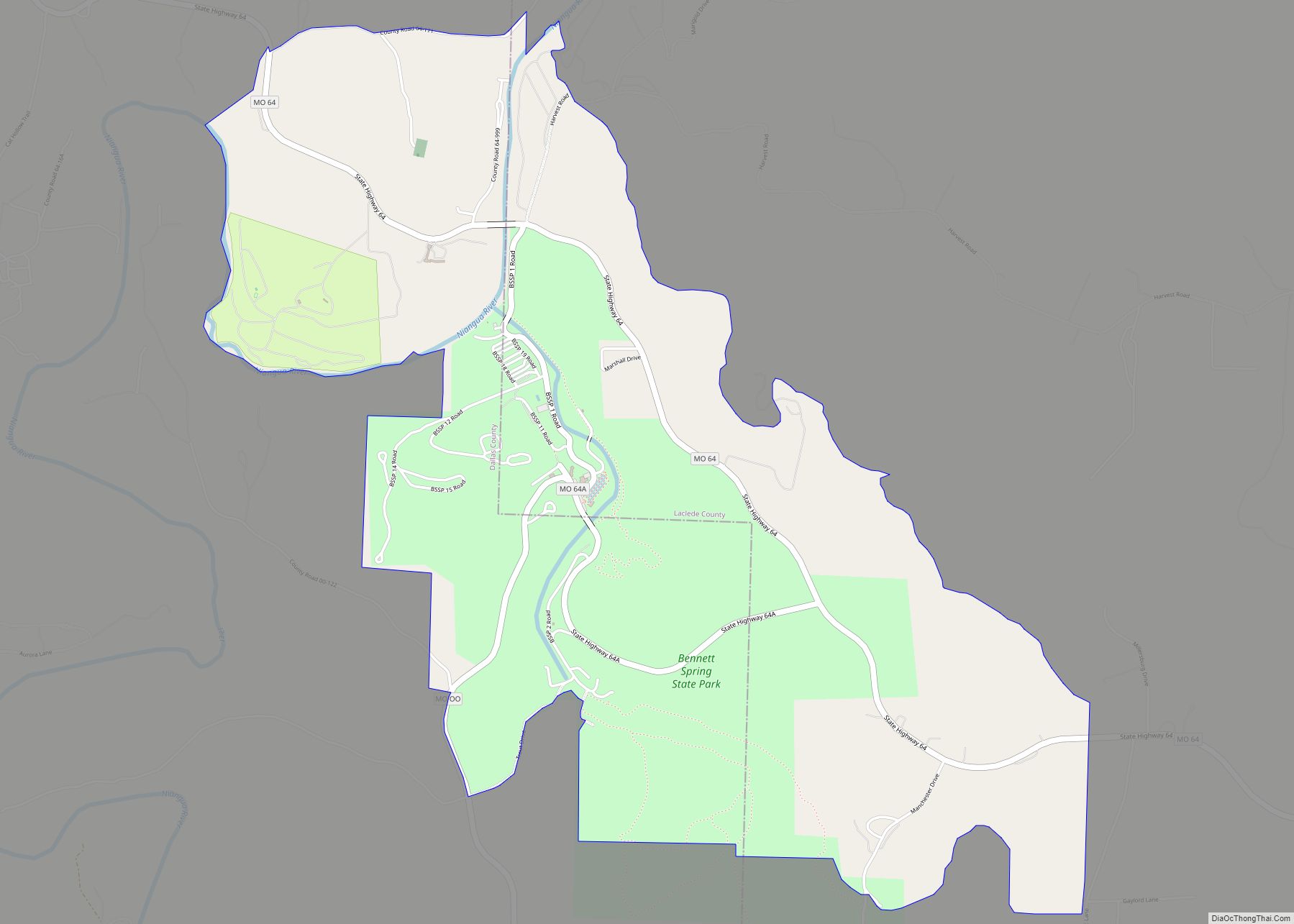
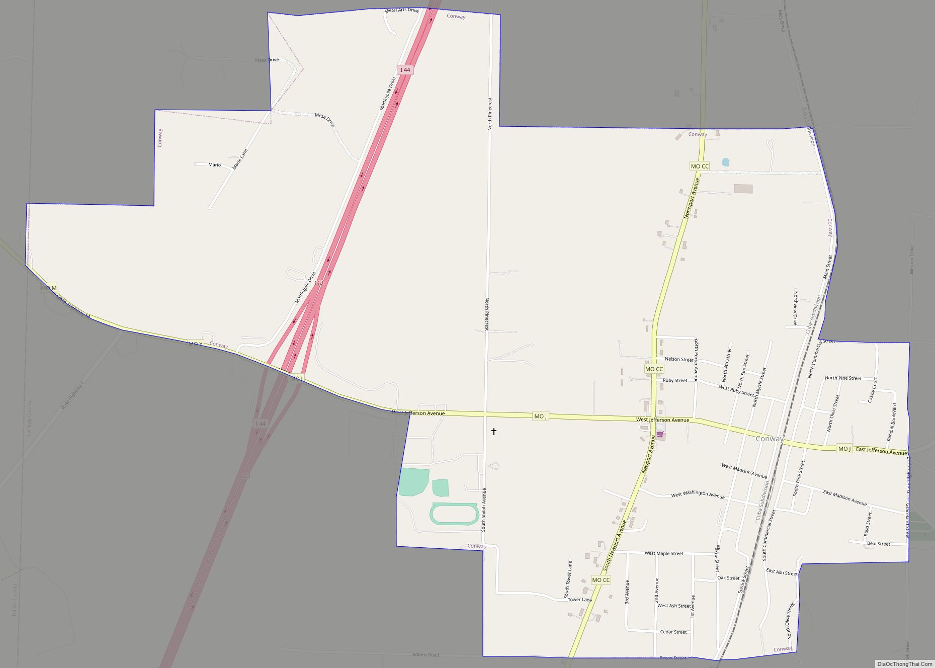
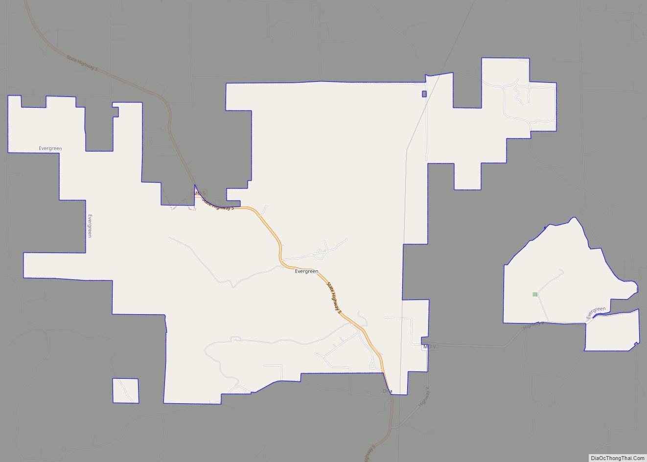
Laclede County Road Map
Geography
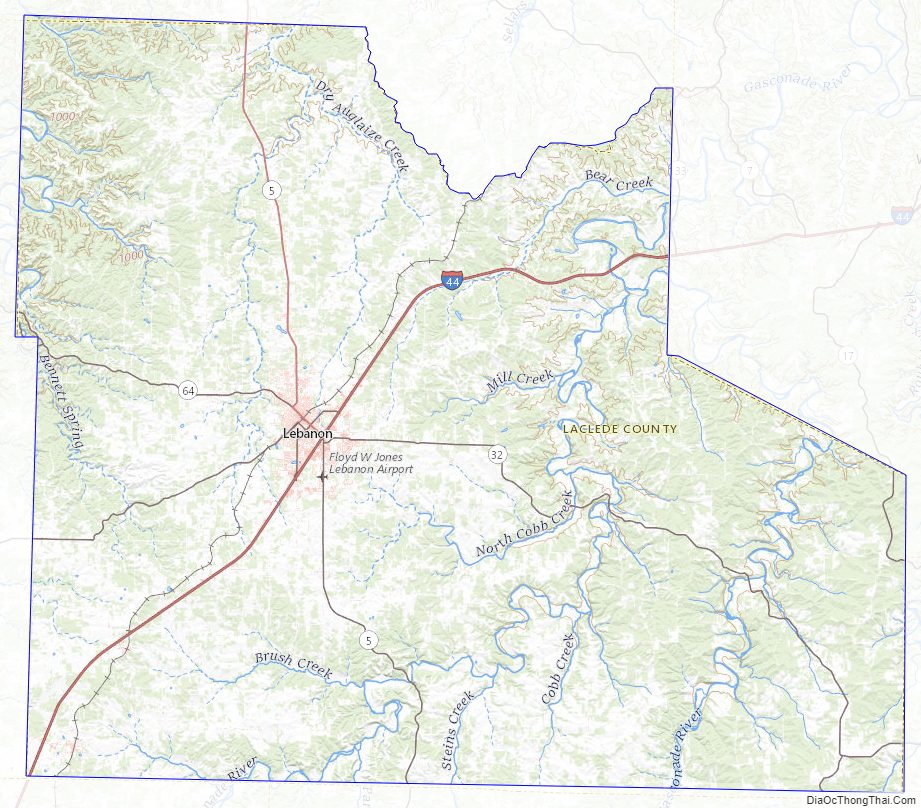
According to the U.S. Census Bureau, the county has a total area of 768 square miles (1,990 km), of which 765 square miles (1,980 km) is land and 3.3 square miles (8.5 km) (0.4%) is water.
Adjacent counties
- Camden County (north)
- Pulaski County (northeast)
- Texas County (southeast)
- Wright County (south)
- Webster County (southwest)
- Dallas County (west)
Major highways
- Interstate 44
- U.S. Route 66 (1926-1979)
- Route 5
- Route 7
- Route 17
- Route 32
- Route 64
- Route 64A
National protected area
- Mark Twain National Forest (part)
Laclede County Topographic Map
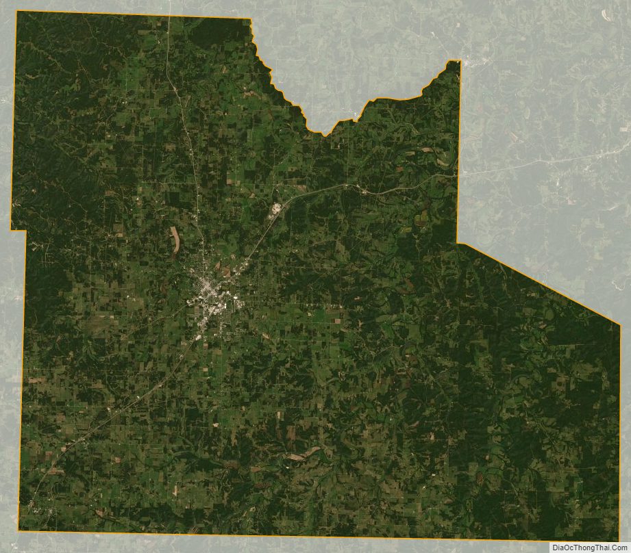
Laclede County Satellite Map
Laclede County Outline Map