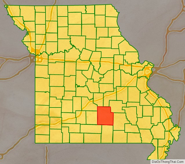
Texas County is a county located in the southern portion of the U.S. state of Missouri. As of the 2020 census, the population was 24,487. Its county seat is Houston. The county was organized in 1843 as Ashley County, changing its name in 1845 to Texas, after the Republic of Texas. The 2010 U.S. Census indicates that the county was the center of population for the United States.
| Name: | Texas County |
|---|---|
| FIPS code: | 29-215 |
| State: | Missouri |
| Founded: | February 14, 1845 |
| Named for: | Republic of Texas |
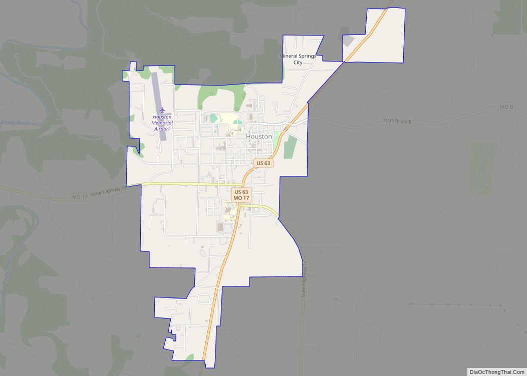
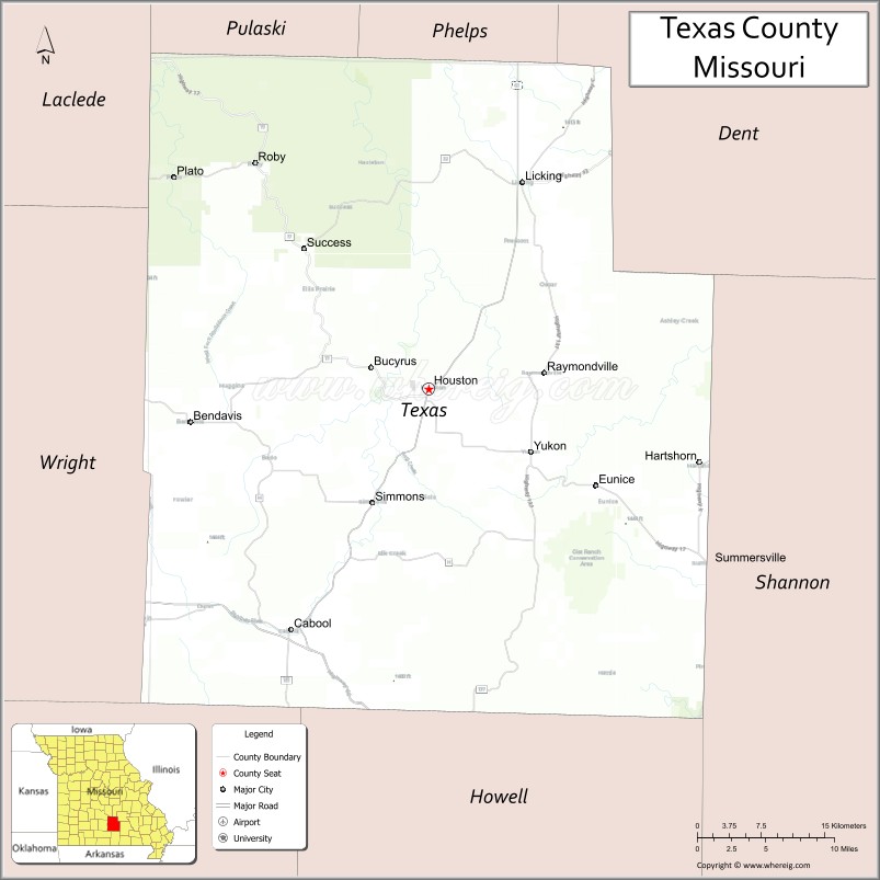
| Seat: | Houston |
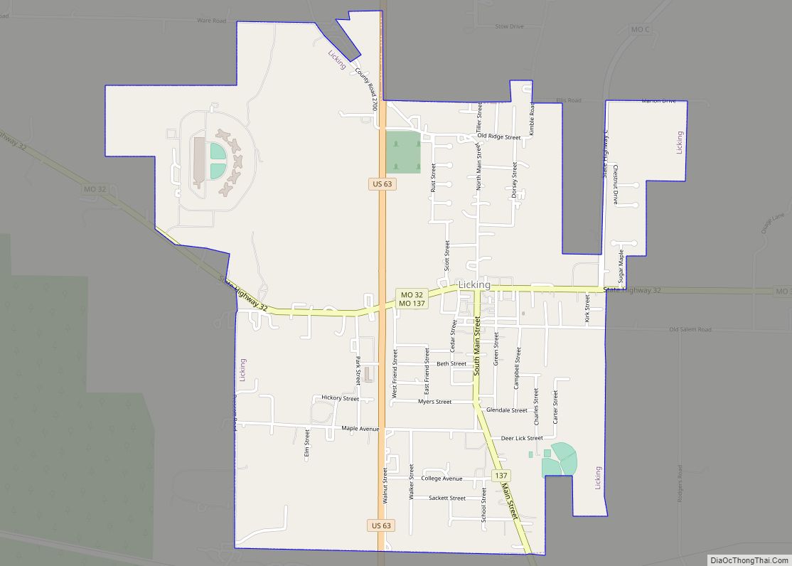
| Largest city: | Licking |
| Total Area: | 1,179 sq mi (3,050 km²) |
| Land Area: | 1,177 sq mi (3,050 km²) |
| Total Population: | 24,487 |
| Population Density: | 21/sq mi (8.0/km²) |
| Time zone: | UTC−6 (Central) |
| Summer Time Zone (DST): | UTC−5 (CDT) |
| Website: | www.texascountymissouri.gov |
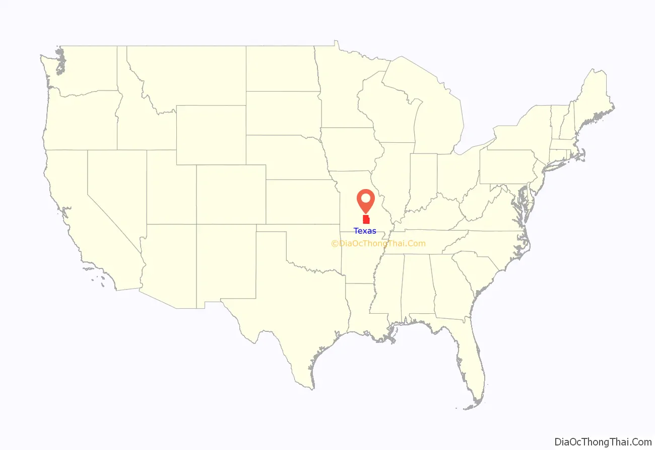
Texas County location map. Where is Texas County?
History
Texas County was created in 1843 and named for William H. Ashley, the first lieutenant governor of Missouri. It was later organized on February 14, 1845, when it was also renamed for the Republic of Texas.
A seat of justice for the county was laid out in 1846 near the center of the county on Brushy Creek and named Houston for the first president of the Texas Republic. The historic Texas County Courthouse, built in 1932, was the county’s sixth and now serves as the county administrative center. It was remodeled in 1977 and again in 2007. A new justice center was completed in 2008.
Rugged hills, springs, creeks, rivers and caves abound in Texas County. There have been many Native American mounds found in the county. Their paintings remain upon various bluffs over ancient campsites. The area was part of the 1808 Osage Native American land cession.
Pioneers came to Texas County in the 1820s from Virginia, Kentucky, Tennessee and the Carolinas and set up sawmills along the Big Piney River. Pioneers made a nice income rafting the timber down the Piney River toward St. Louis. Some 48,000 acres (190 km) in the north and northwest part of the county is now part of the Mark Twain National Forest. Several acres in the southeast part of the county are part of the Ozark National Scenic Riverways Park. Small family farms are still a major part of the landscape of the county. The population of the first Federal Census of Texas County in 1850 was 2,312 citizens.
The American Civil War period was a time of turmoil in Texas County. The populace was predominantly Southern. The courthouse was occupied during the war by the Union Army as headquarters. Houston was an important point on the route from federal headquarters in Springfield to headquarters in Rolla. Some skirmishes were fought here. Confederate soldiers stormed the town, burning every building.
On February 26, 2015, a gunman shot and killed seven people in several locations across the town of Tyrone. The suspect was later found dead of a self-inflicted gunshot wound. It was the worst mass murder in Texas County’s history. Prior to the mass shooting, the county had an average of one homicide per year.
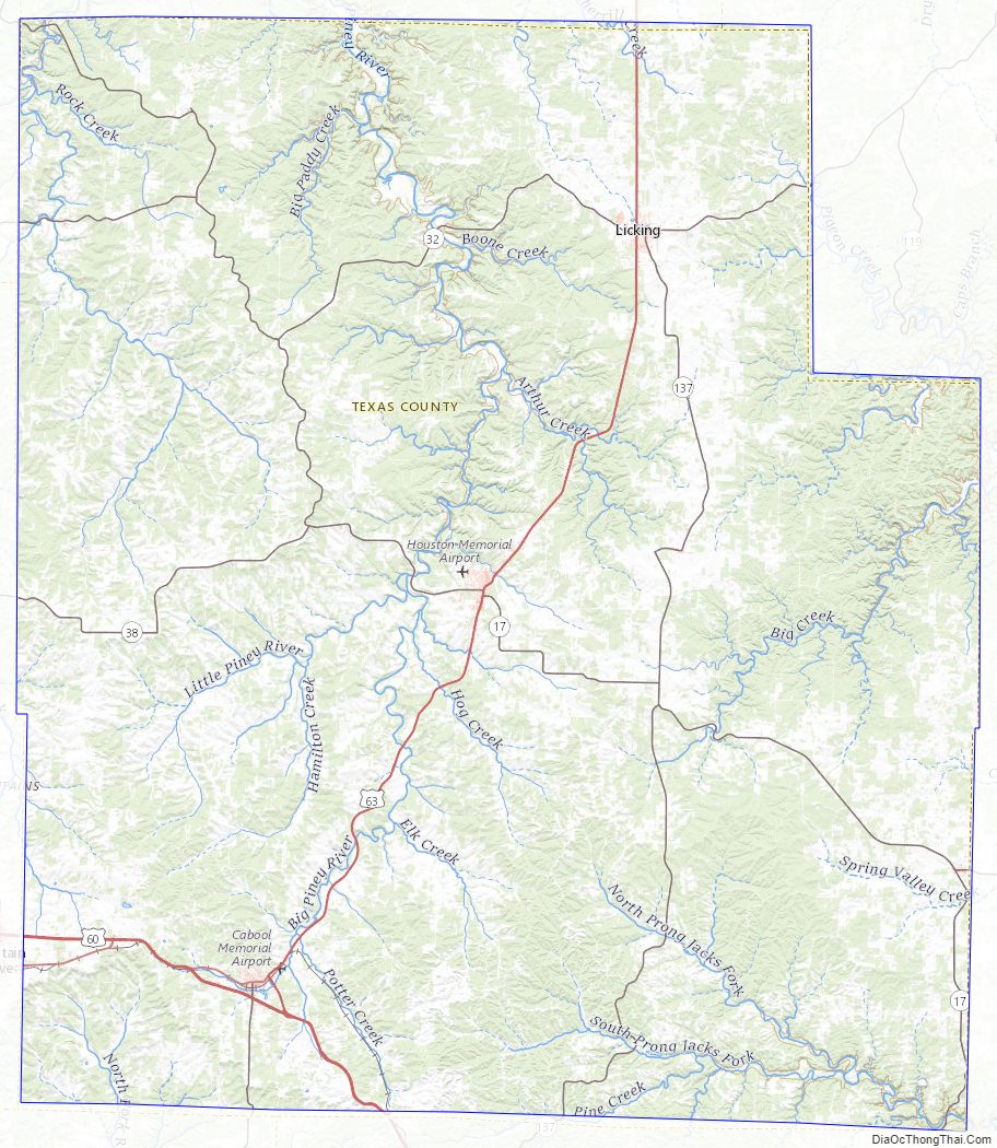
Texas County Road Map
Geography
According to the U.S. Census Bureau, the county has a total area of 1,179 square miles (3,050 km), of which 1,177 square miles (3,050 km) is land and 2.0 square miles (5.2 km) (0.2%) is water. It is the largest county in Missouri by area.
Adjacent counties
- Pulaski County (north)
- Phelps County (north)
- Dent County (northeast)
- Shannon County (east)
- Howell County (south)
- Douglas County (southwest)
- Wright County (west)
- Laclede County (northwest)
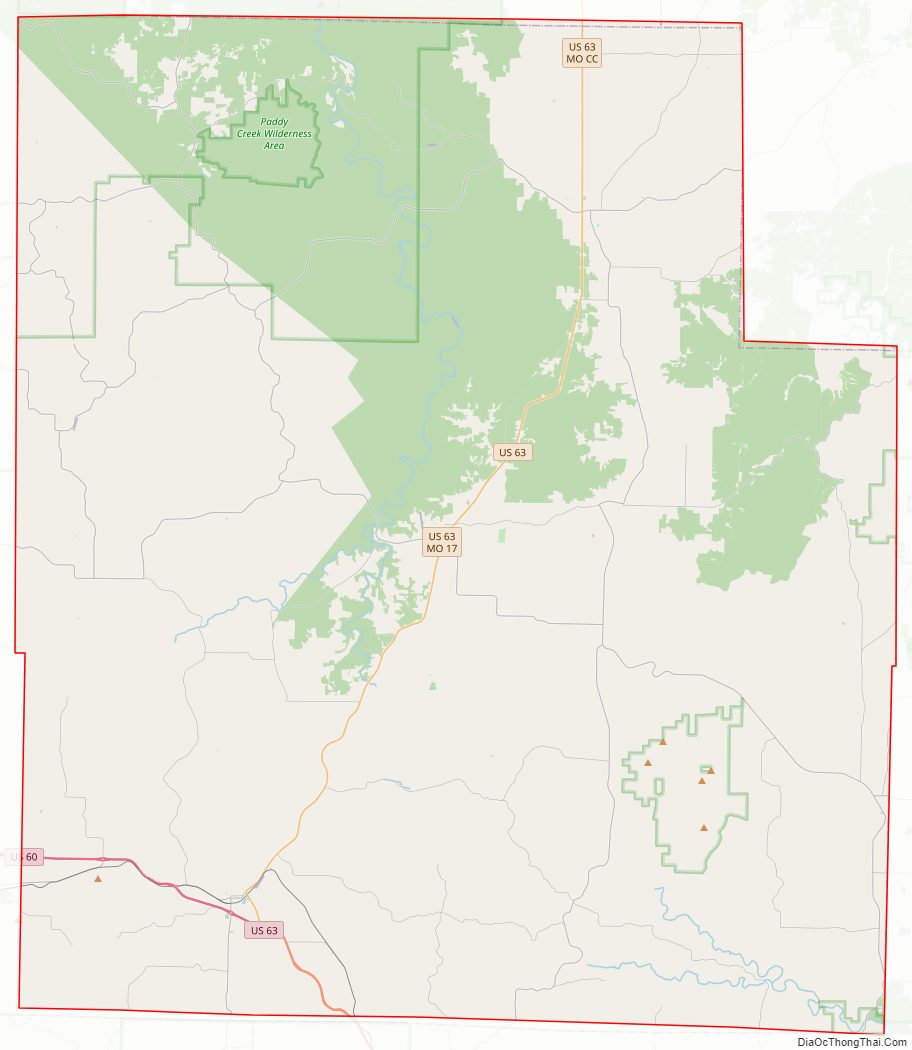
Major highways
- U.S. Route 60
- U.S. Route 63
- Route 17
- Route 32
- Route 38
- Route 137
National protected areas
- Mark Twain National Forest (part)
- Ozark National Scenic Riverways (part)
Texas County Topographic Map
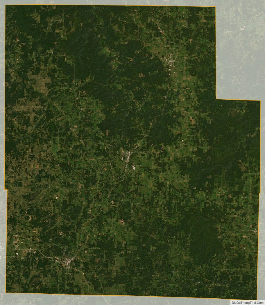
Texas County Satellite Map
Texas County Outline Map