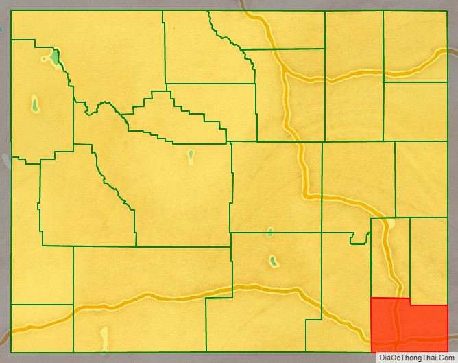
Laramie County is a county located at the southeast corner of the state of Wyoming. As of the 2020 United States Census, the population was 100,512 or 17.4% of the state’s total 2020 population, making it the most populous county in Wyoming, but the least populous county in the United States to be the most populous in its state.
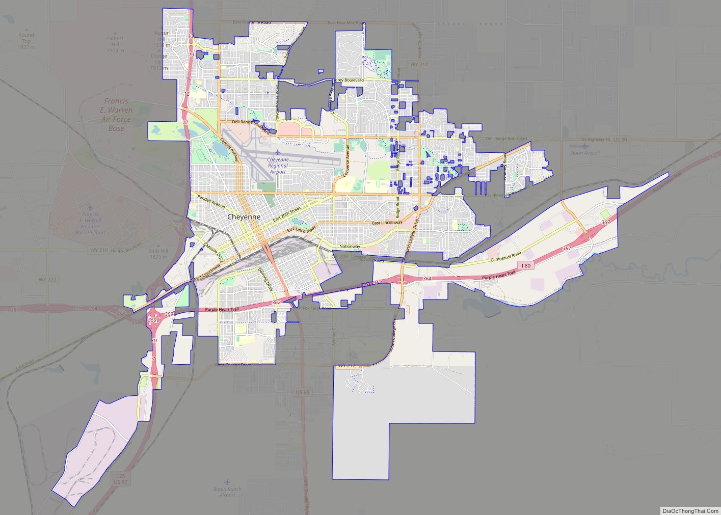
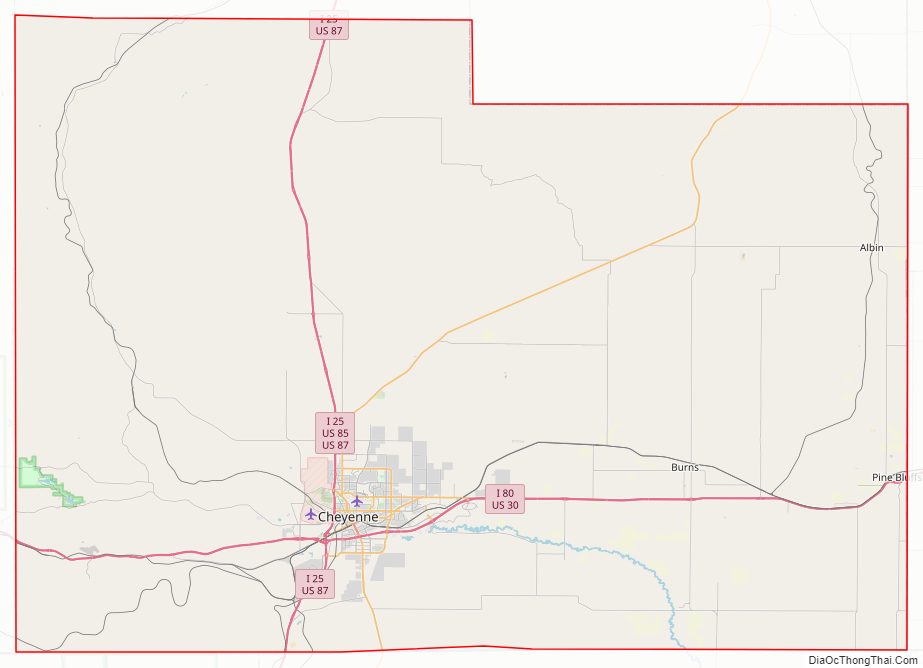
The county seat is Cheyenne, the state capital. The county lies west of the Nebraska state line and north of the Colorado state line.
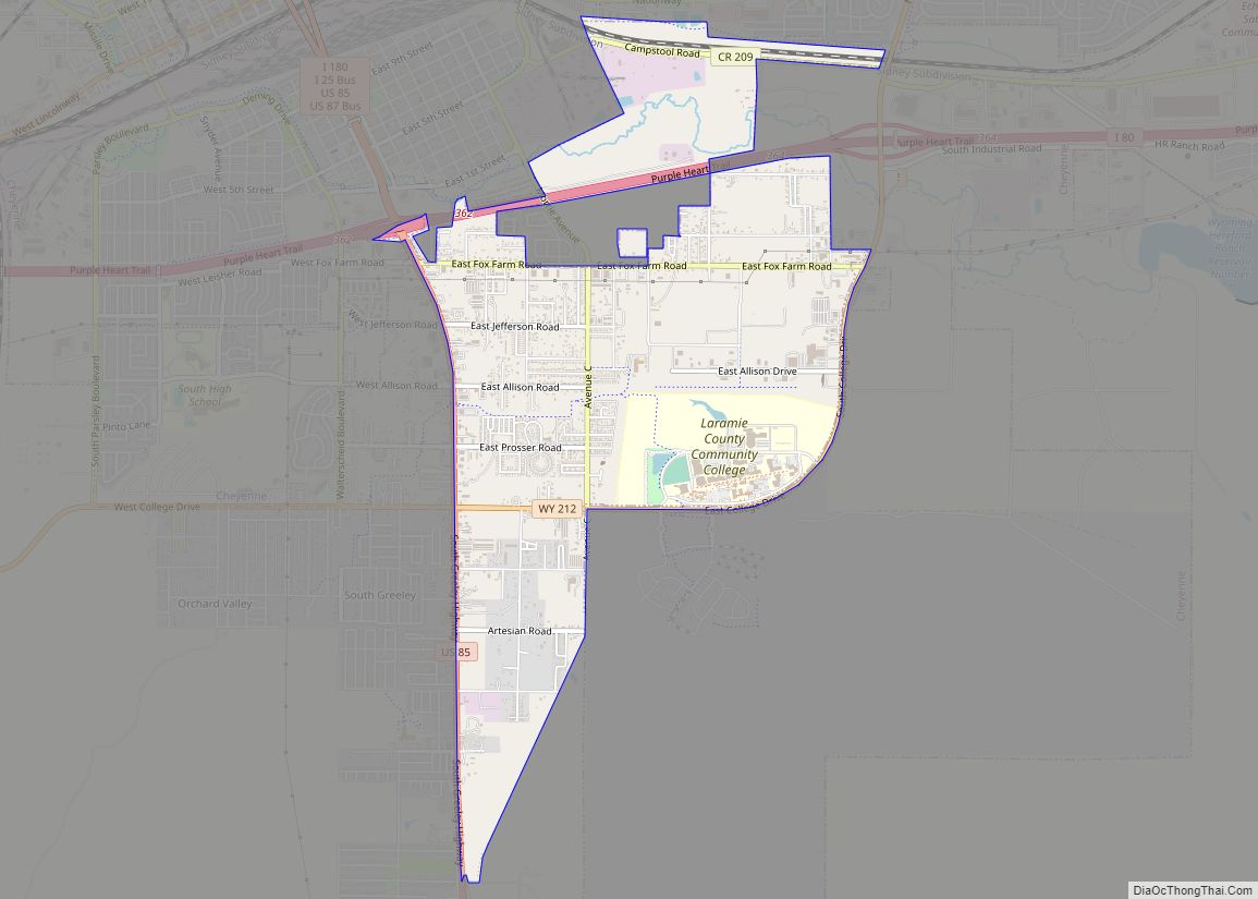
Laramie County comprises the Cheyenne, WY Metropolitan Statistical Area.
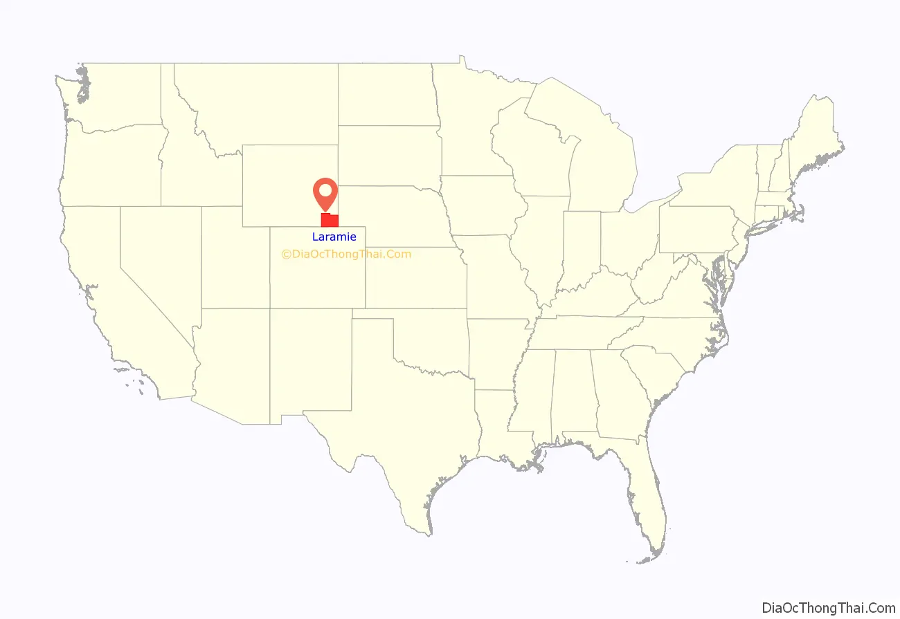
The city of Laramie, Wyoming, is in neighboring Albany County.
| Name: | Laramie County |
|---|---|
| FIPS code: | 56-021 |
| State: | Wyoming |
| Founded: | January 9, 1867 |
| Named for: | Jacques La Ramee |
| Seat: | Cheyenne |
| Largest city: | Cheyenne |
| Total Area: | 2,688 sq mi (6,960 km²) |
| Land Area: | 2,686 sq mi (6,960 km²) |
| Population Density: | 37.39/sq mi (14.44/km²) |
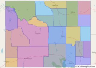
Laramie County location map. Where is Laramie County?
History
Laramie County was originally created in 1867 as a county within the Dakota Territory. The county was named for Jacques La Ramee, a French-Canadian fur-trader. In 1867, a portion of Laramie County was annexed to create Sweetwater County; in 1868; further annexations occurred to create Albany County and Carbon County. Laramie County became a county in the Wyoming Territory when the territorial government was formed in 1869. Crook County was created with land ceded by Laramie County in 1875. In 1888, Converse County was formed from a portion of Laramie County. In 1911, Goshen and Platte Counties were formed from parts of Laramie County, giving the county its current boundaries.
The county’s early economy was based on agriculture and livestock raising. The present-day Wyoming Stock Growers Association dates from that era. Other types of animal husbandry also occurred.
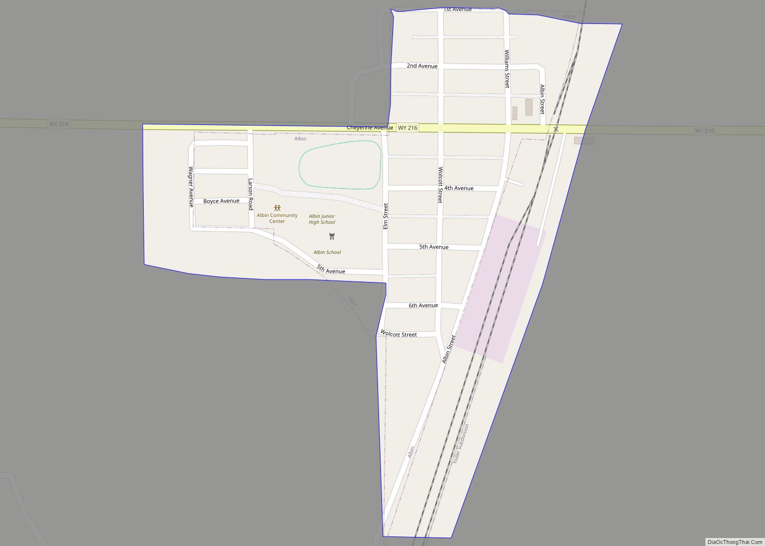
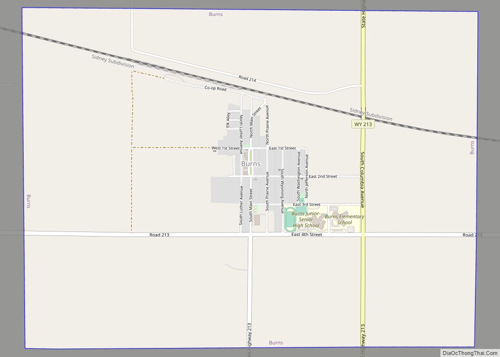
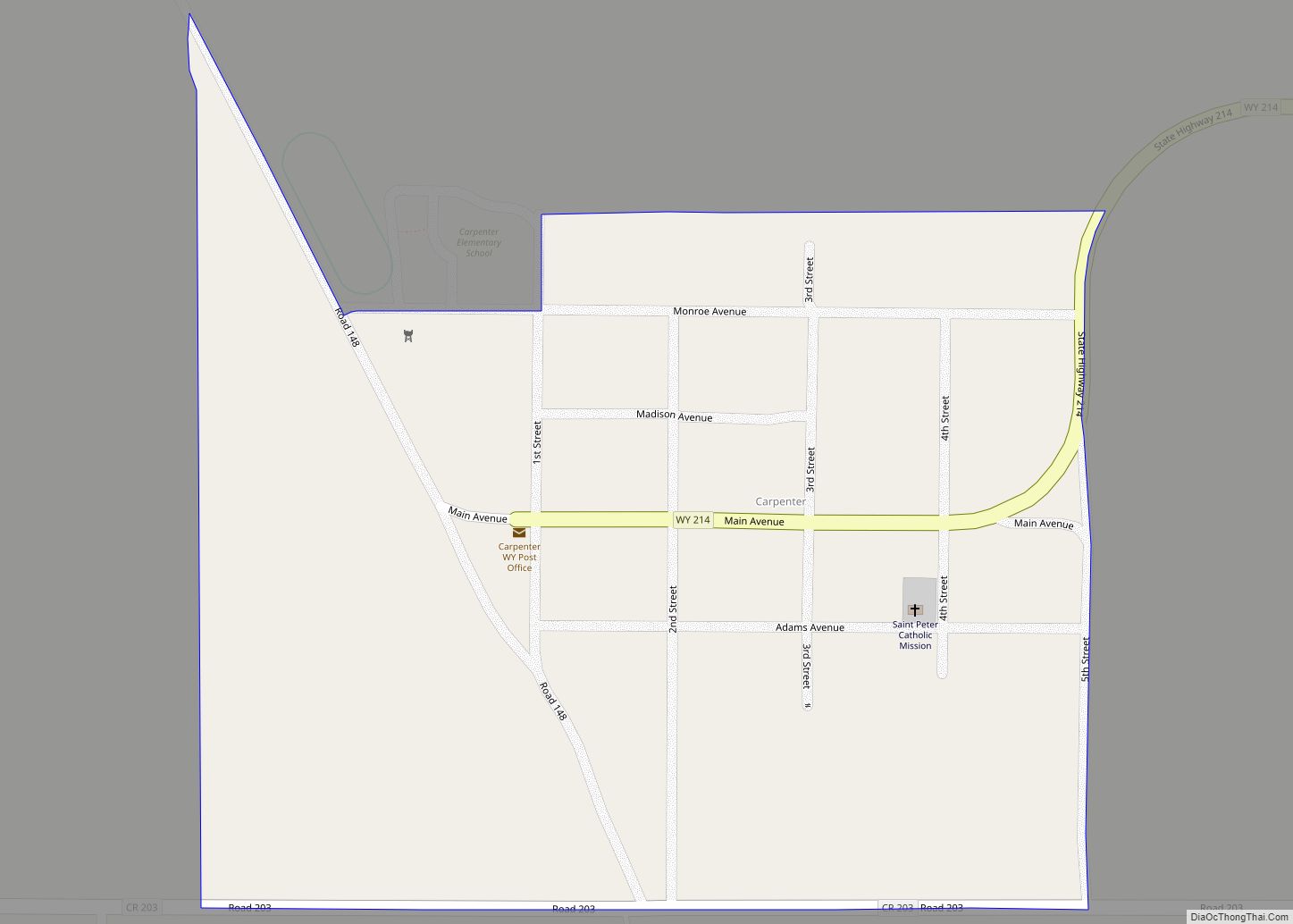
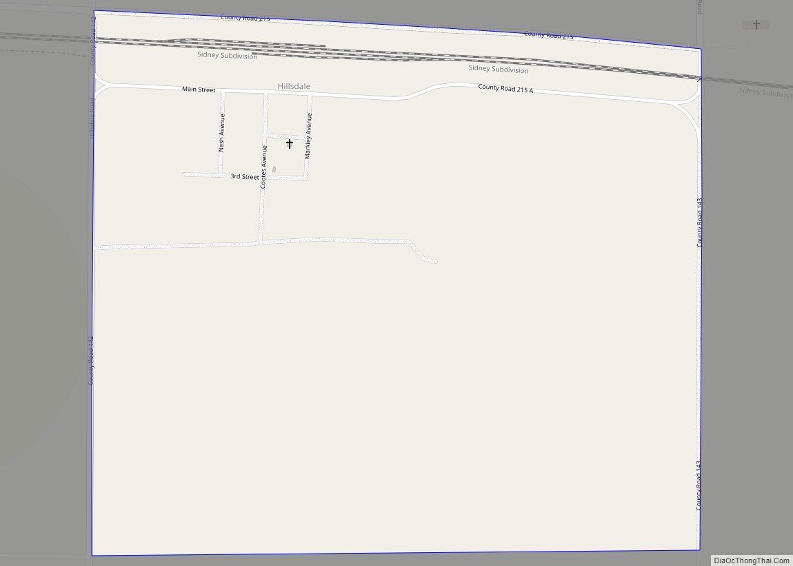
Some of the settlers in early Laramie County were foreign immigrants; for example, Burns was largely settled by German immigrants.
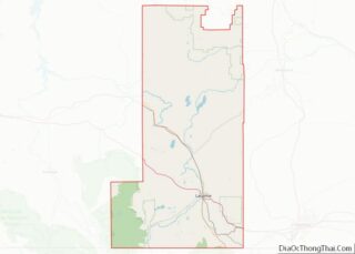
Laramie County Road Map
Geography
According to the U.S. Census Bureau, the county has a total area of 2,688 square miles (6,960 km), of which 2,686 square miles (6,960 km) is land and 1.6 square miles (4.1 km) (0.06%) is water.
Adjacent counties
- Goshen County – north
- Banner County, Nebraska – northeast
- Kimball County, Nebraska – east
- Weld County, Colorado – south
- Larimer County, Colorado – southwest
- Albany County – west
- Platte County – northwest
Major highways
- Interstate 25
- Interstate 80
- Interstate 180 (Not a freeway.)
- I-25 BL
- I-80 BL
- U.S. Highway 30
- U.S. Highway 85
- U.S. Highway 87
- Wyoming Highway 210
- Wyoming Highway 211
- Wyoming Highway 212
- Wyoming Highway 213
- Wyoming Highway 214
- Wyoming Highway 215
- Wyoming Highway 216
- Wyoming Highway 219
- Wyoming Highway 221
- Wyoming Highway 222
- Wyoming Highway 223
- Wyoming Highway 225
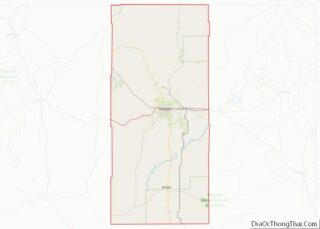
Laramie County Topographic Map
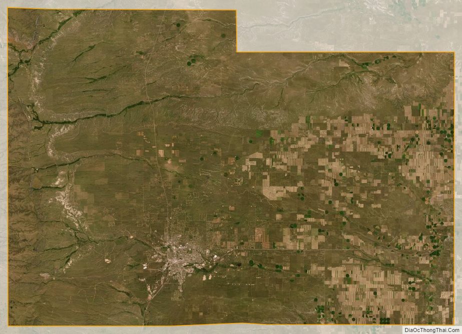
Laramie County Satellite Map
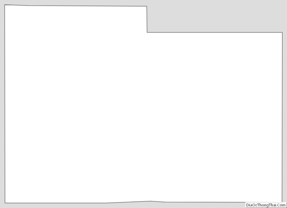
Laramie County Outline Map