Burns is a town in Laramie County, Wyoming, United States. It is part of the Cheyenne, Wyoming Metropolitan Statistical Area. The population was 301 at the 2010 census.
| Name: | Burns town |
|---|---|
| LSAD Code: | 43 |
| LSAD Description: | town (suffix) |
| State: | Wyoming |
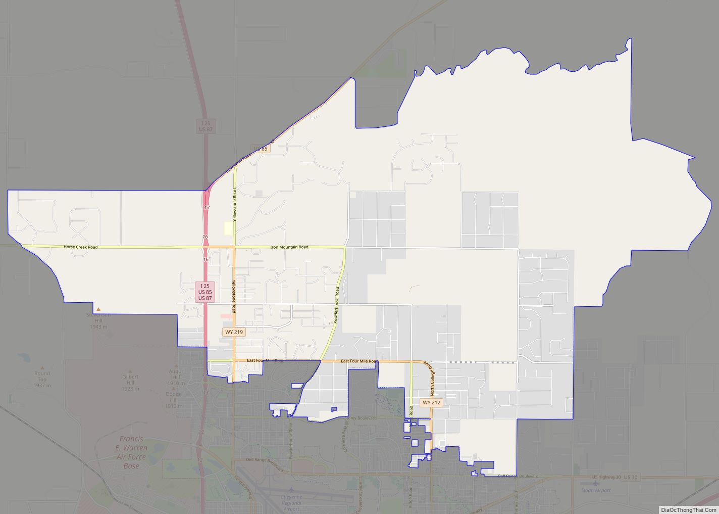
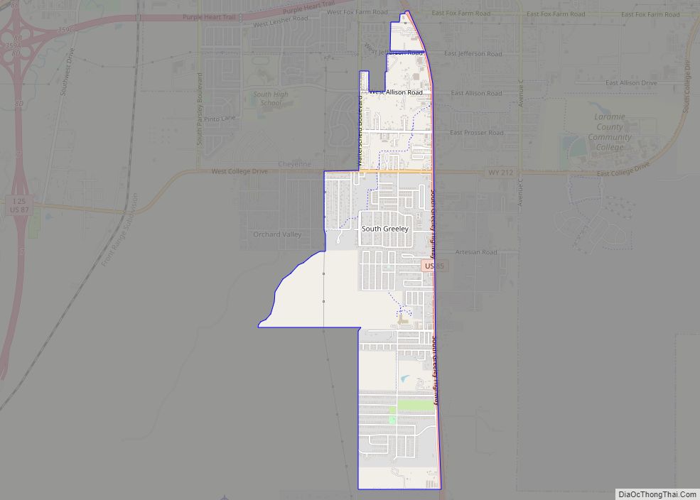
| County: | Laramie County |
| Elevation: | 5,518 ft (1,682 m) |
| Total Area: | 3.05 sq mi (7.91 km²) |
| Land Area: | 3.05 sq mi (7.91 km²) |
| Water Area: | 0.00 sq mi (0.00 km²) |
| Total Population: | 356 |
| Population Density: | 118.27/sq mi (45.01/km²) |
| ZIP code: | 82053 |
| Area code: | 307 |
| FIPS code: | 5611265 |
| GNISfeature ID: | 1609075 |
| Website: | www.burnswy.com |
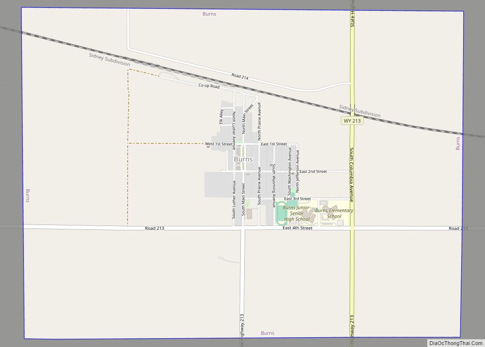
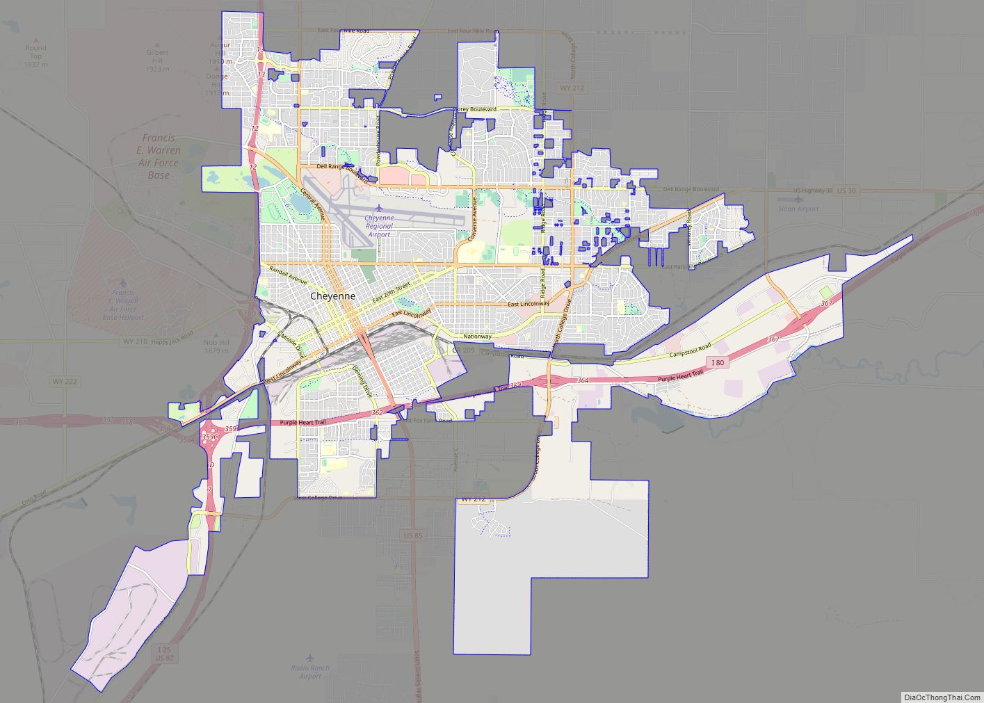
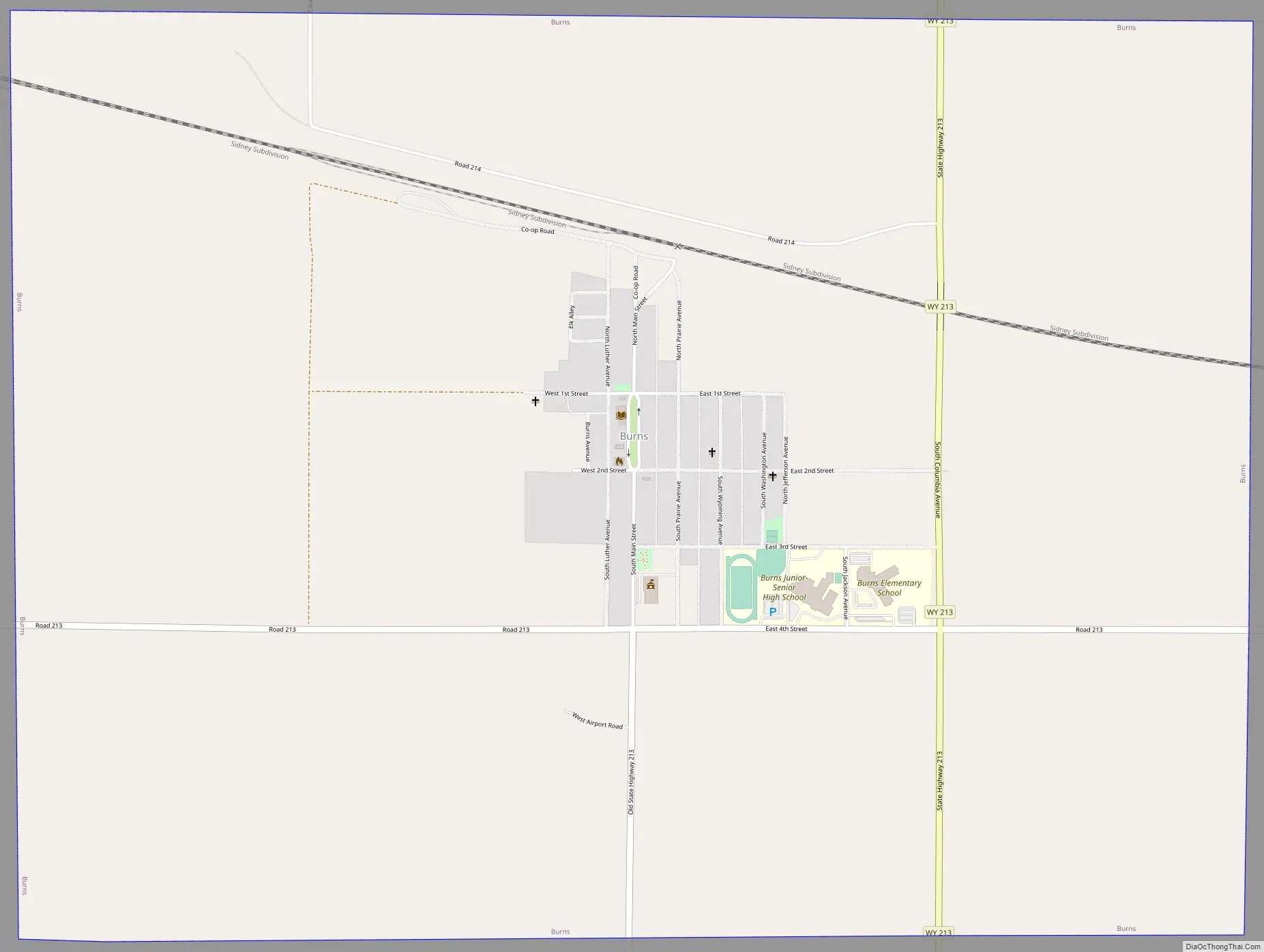
Online Interactive Map
Click on ![]() to view map in "full screen" mode.
to view map in "full screen" mode.
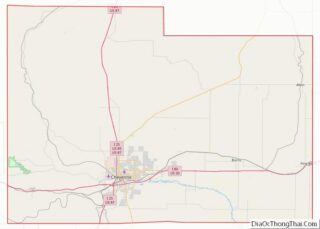
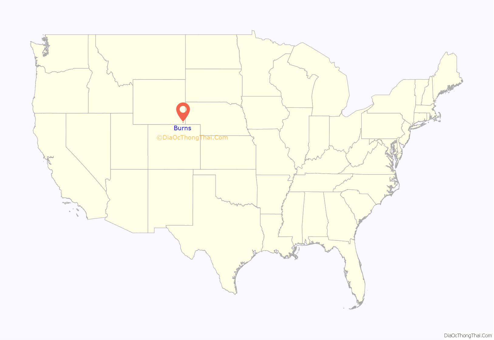
Burns location map. Where is Burns town?

History
Originally, Burns was a siding with a water tank on the Union Pacific Railroad. The community of Burns was conceived and marketed as a German-Lutheran settlement named New Berlin and initially platted as the Town of Luther in 1907 The original name was given by settlers of German Ancestry in honor of Martin Luther. Burns was the center of the Golden Prairie District promoted by the James R. Carpenter’s Federal Land & Securities Co. formed in 1905.
Burns Road Map
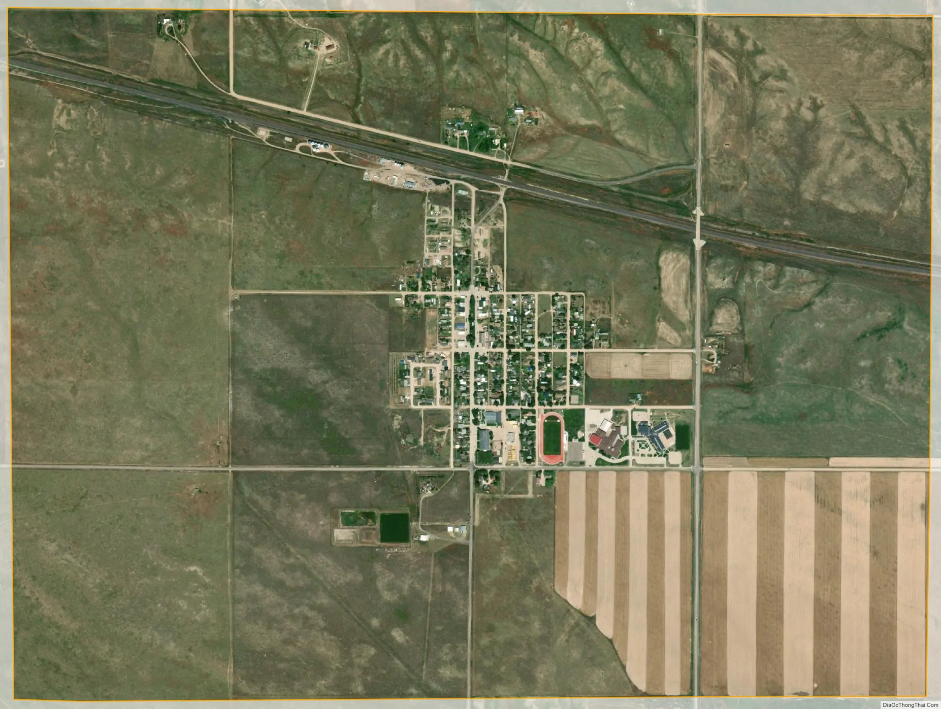
Burns city Satellite Map
Geography
Burns is located at 41°11′31″N 104°21′29″W / 41.19194°N 104.35806°W / 41.19194; -104.35806 (41.191962, -104.358163), approximately 25 miles (40 km) east of Cheyenne.
According to the United States Census Bureau, the town has a total area of 3.05 square miles (7.90 km), all land.
See also
Map of Wyoming State and its subdivision: Map of other states:- Alabama
- Alaska
- Arizona
- Arkansas
- California
- Colorado
- Connecticut
- Delaware
- District of Columbia
- Florida
- Georgia
- Hawaii
- Idaho
- Illinois
- Indiana
- Iowa
- Kansas
- Kentucky
- Louisiana
- Maine
- Maryland
- Massachusetts
- Michigan
- Minnesota
- Mississippi
- Missouri
- Montana
- Nebraska
- Nevada
- New Hampshire
- New Jersey
- New Mexico
- New York
- North Carolina
- North Dakota
- Ohio
- Oklahoma
- Oregon
- Pennsylvania
- Rhode Island
- South Carolina
- South Dakota
- Tennessee
- Texas
- Utah
- Vermont
- Virginia
- Washington
- West Virginia
- Wisconsin
- Wyoming