Lauderdale County is a county located on the eastern border of the U.S. state of Mississippi. As of the 2020 census, the population was 72,984. The county seat is Meridian. The county is named for Colonel James Lauderdale, who was killed at the Battle of New Orleans in the War of 1812. Lauderdale County is included in the Meridian, MS Micropolitan Statistical Area.
| Name: | Lauderdale County |
|---|---|
| FIPS code: | 28-075 |
| State: | Mississippi |
| Founded: | 1833 |
| Named for: | James Lauderdale |
| Seat: | Meridian |
| Largest city: | Meridian |
| Total Area: | 715 sq mi (1,850 km²) |
| Land Area: | 704 sq mi (1,820 km²) |
| Total Population: | 72,984 |
| Population Density: | 100/sq mi (39/km²) |
| Time zone: | UTC−6 (Central) |
| Summer Time Zone (DST): | UTC−5 (CDT) |
| Website: | www.lauderdalecounty.org |
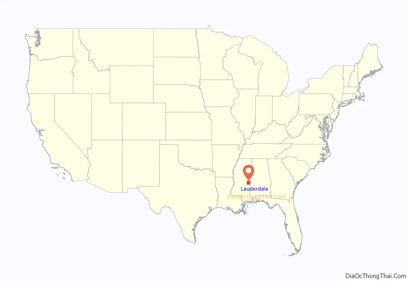
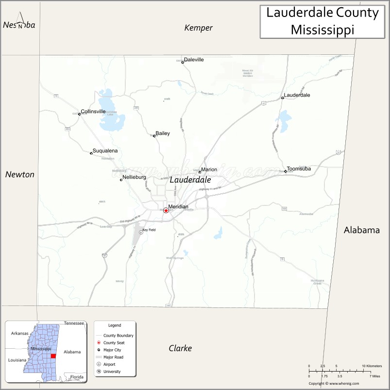
Lauderdale County location map. Where is Lauderdale County?
History
An early explorer Sam Dale died in the county and is buried in Daleville, and a large monument is placed at his burial site. Andrew Jackson traveled through the county on his way to New Orleans and a town was named Hickory after his nickname “Old Hickory”.
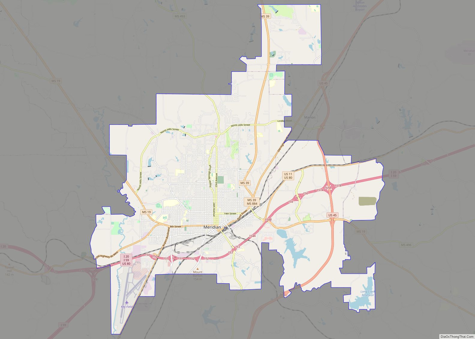
The largest city in the county is Meridian, which was in important railway intersection during the early 20th century. It was also home to the Soule Steam Feed Works which manufactured steam engines. Logging and rail transport were important early industries in the county. One of the largest waterfalls in Mississippi, Dunns Falls, is located in the county and a water driven mill still exists on the site. Lauderdale county is also home to the headquarters of Peavey Electronics which has manufactured audio and music equipment for half a century.
Like much of the post-Reconstruction South the county has a checkered racial history with 16 documented lynchings in the period from 1877 to 1950; most occurred around the turn of the 20th century.
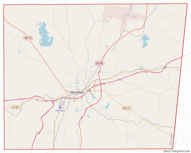
Lauderdale County Road Map
Geography
According to the U.S. Census Bureau, the county has a total area of 715 square miles (1,850 km), of which 704 square miles (1,820 km) is land and 12 square miles (31 km) (1.6%) is water.
Major highways
- Interstate 59
- Interstate 20
- U.S. Highway 11
- U.S. Highway 45
- U.S. Highway 80
- Mississippi Highway 19
- Mississippi Highway 39
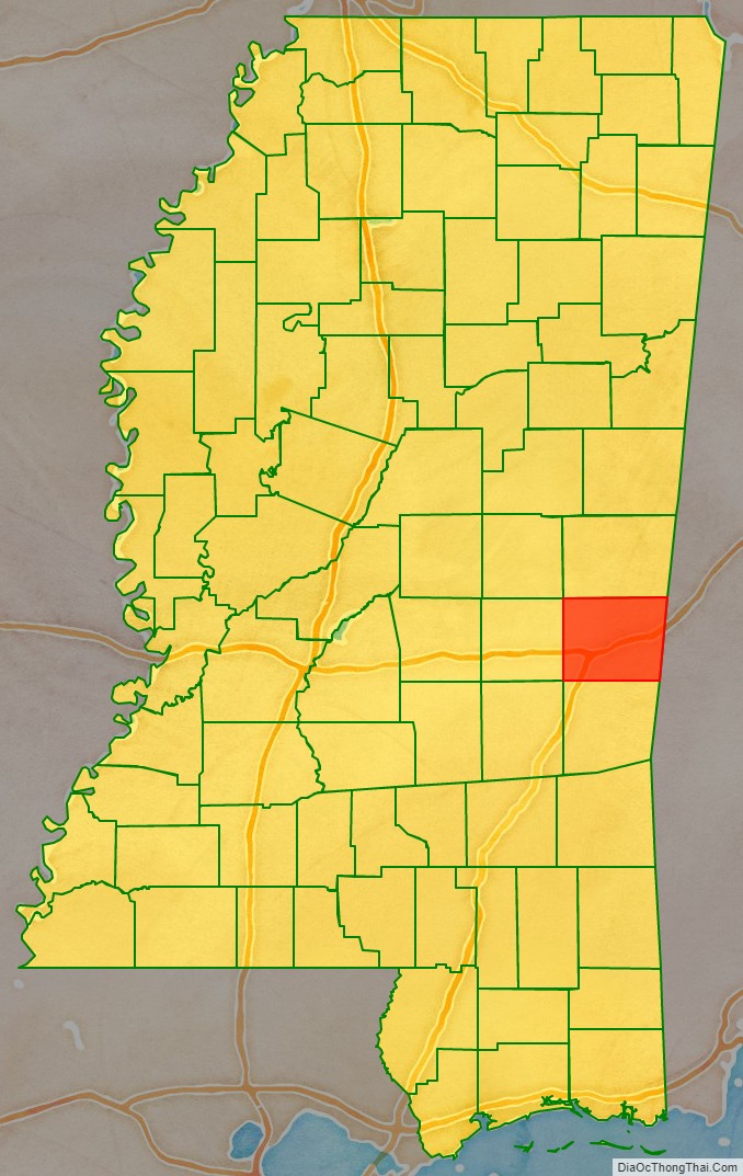
Adjacent counties
- Kemper County (north)
- Sumter County, Alabama (east)
- Choctaw County, Alabama (southeast)
- Clarke County (south)
- Newton County (west)
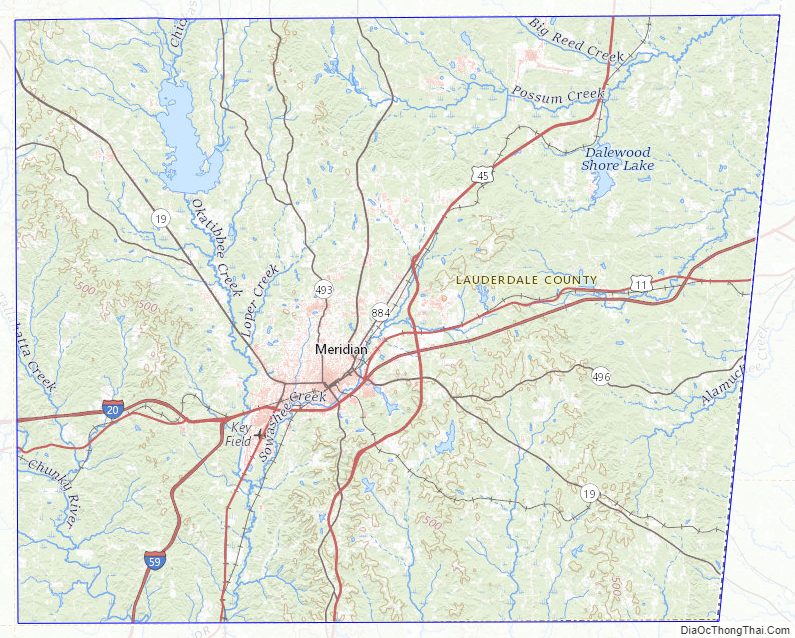
Lauderdale County Topographic Map
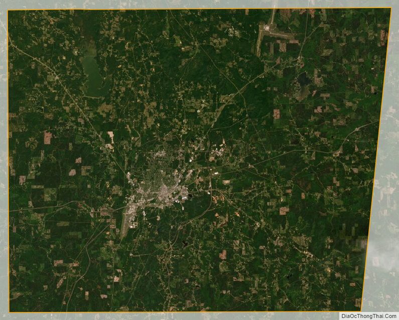
Lauderdale County Satellite Map
Lauderdale County Outline Map