| Name: | Leon County |
|---|---|
| FIPS code: | 48-289 |
| State: | Texas |
| Founded: | 1846 |
| Named for: | Martín de León |
| Seat: | Centerville |
| Largest city: | Buffalo |
| Total Area: | 1,081 sq mi (2,800 km²) |
| Land Area: | 1,073 sq mi (2,780 km²) |
| Total Population: | 15,719 |
| Population Density: | 15/sq mi (5.6/km²) |
| Time zone: | UTC−6 (Central) |
| Summer Time Zone (DST): | UTC−5 (CDT) |
| Website: | www.co.leon.tx.us |
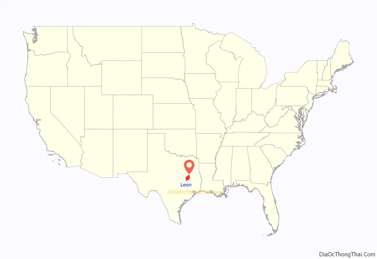
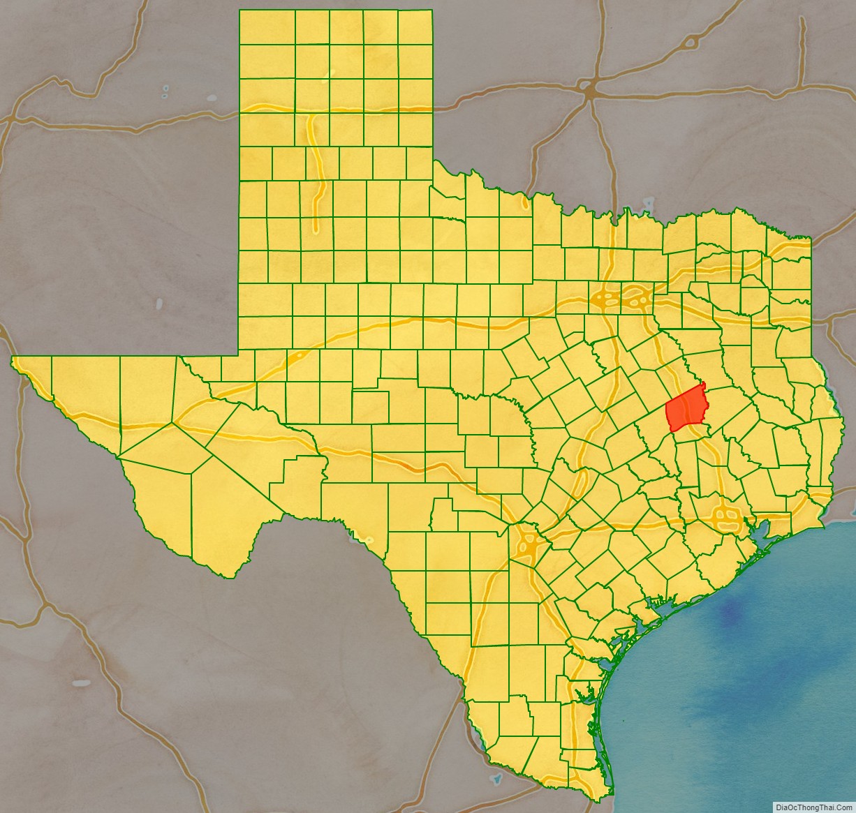
Leon County location map. Where is Leon County?
History
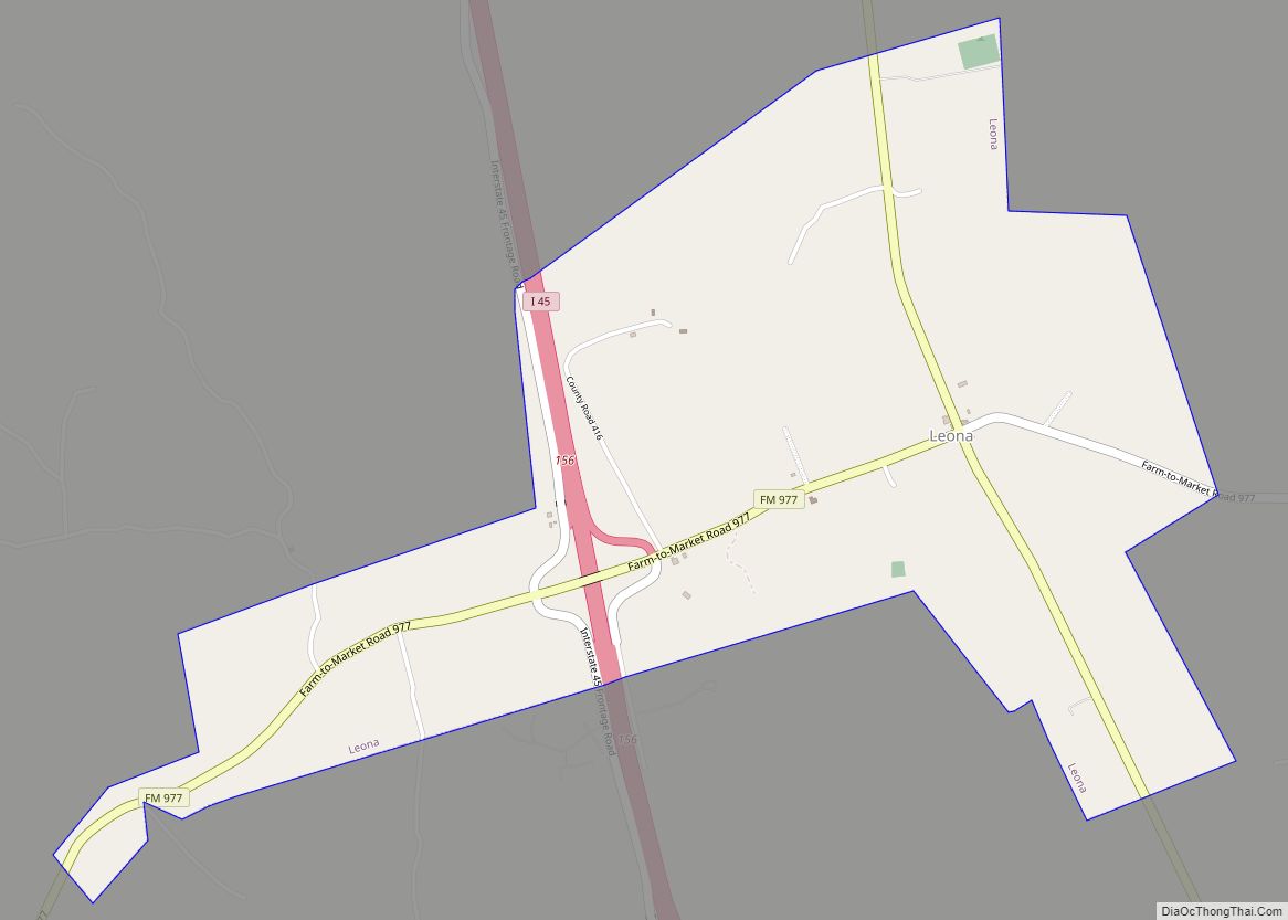
The legislature of the Republic of Texas authorized Leon County in 1846 from part of Robertson County, and named it in honor of Martín de León, the founder of Victoria, Texas. However, local tradition holds that it is named for a yellow wolf of the region commonly called the león (Spanish for lion). The county was organized that same year, with its first county seat at Leona. In 1851, the county seat was moved to Centerville, since Leona was in the far southern part of the county.
The 1886 Leon County Courthouse was designed by architect George Edwin Dickey of Houston, incorporating remnants of an earlier 1858 courthouse that was destroyed by fire. The courthouse was rededicated on July 1, 2007, following a full restoration to a 1909 date.
Leon County Road Map
Geography
According to the U.S. Census Bureau, the county has a total area of 1,081 square miles (2,800 km), of which 1,073 square miles (2,780 km) are land and 7.5 square miles (19 km) (0.7%) are covered by water.
Major highways
- Interstate 45
- U.S. Highway 79
- State Highway 7
- State Highway 75
- State Highway 164
Additionally, State Highway OSR runs along the south and southwest county line of Leon County, where it borders with Madison County.
Adjacent counties
- Freestone County (north)
- Anderson County (northeast)
- Houston County (east)
- Madison County (south)
- Robertson County (west)
- Limestone County (northwest)
