| Name: | Madison County |
|---|---|
| FIPS code: | 48-313 |
| State: | Texas |
| Founded: | 1854 |
| Named for: | James Madison |
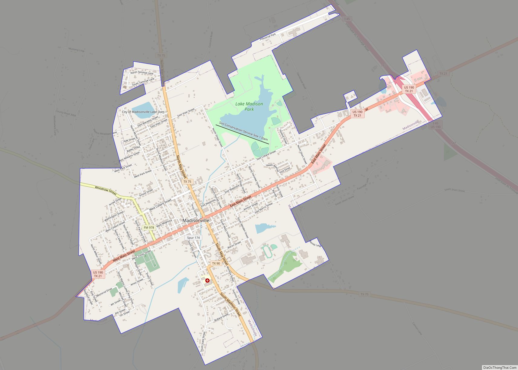
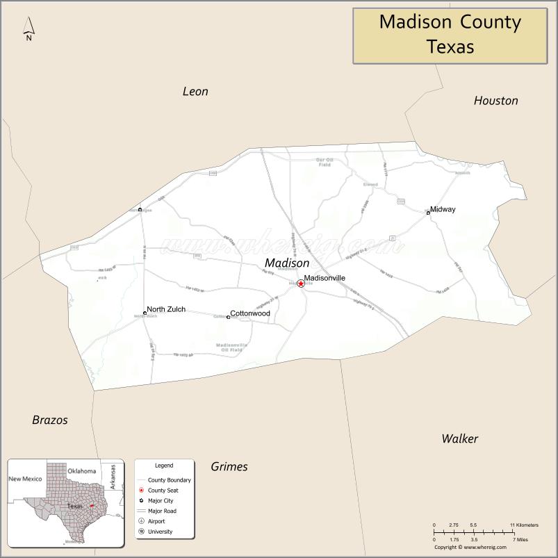
| Seat: | Madisonville |
| Largest city: | Madisonville |
| Total Area: | 472 sq mi (1,220 km²) |
| Land Area: | 466 sq mi (1,210 km²) |
| Total Population: | 13,455 |
| Population Density: | 29/sq mi (11/km²) |
| Time zone: | UTC−6 (Central) |
| Summer Time Zone (DST): | UTC−5 (CDT) |
| Website: | www.co.madison.tx.us |
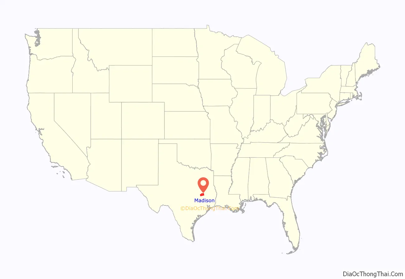
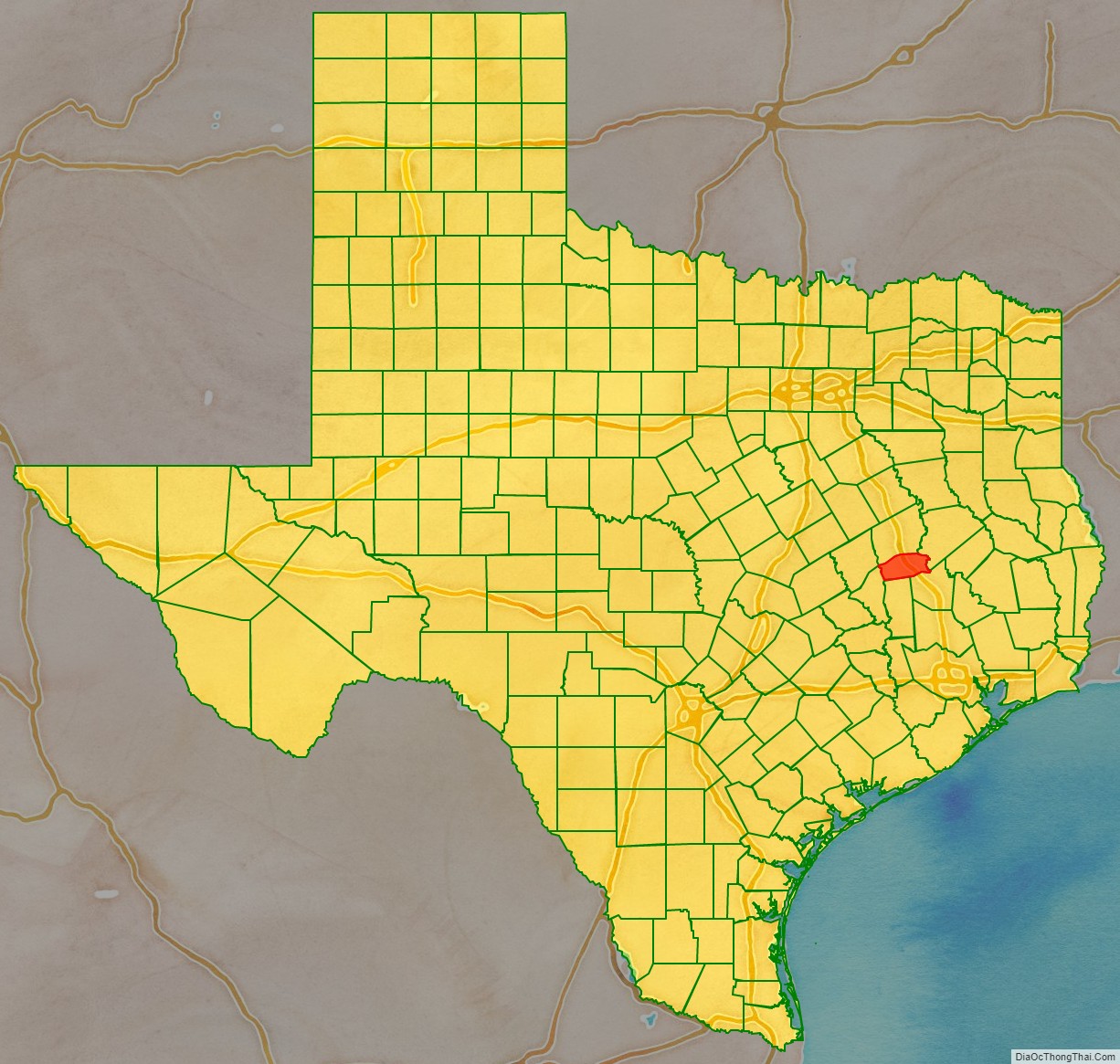
Madison County location map. Where is Madison County?
History
The current Madison County Courthouse was built in 1970. It is at least the fifth courthouse to serve Madison County.
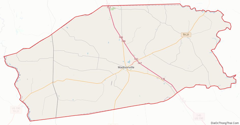
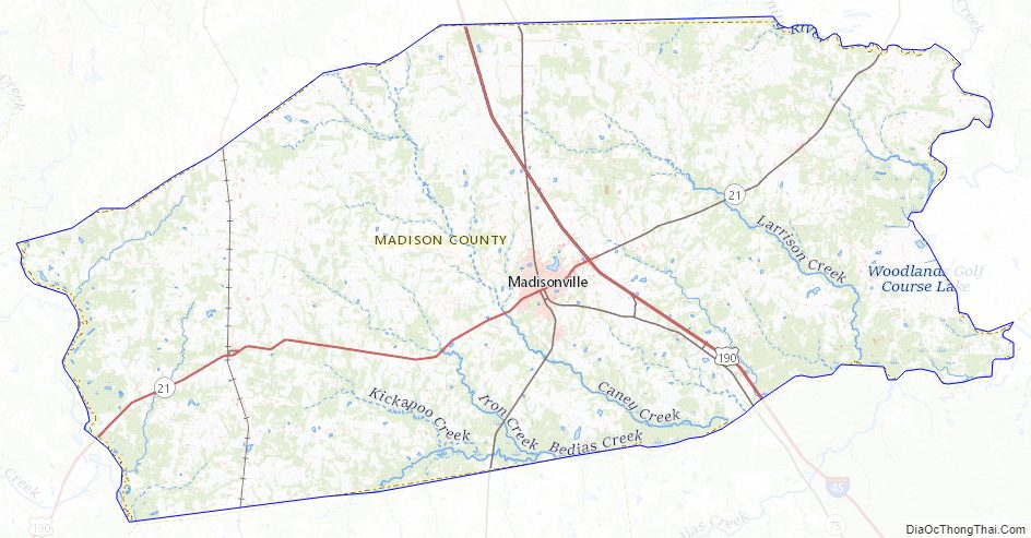
Madison County Road Map
Geography
According to the U.S. Census Bureau, the county has a total area of 472 square miles (1,220 km), of which 466 square miles (1,210 km) are land and 6.4 square miles (17 km) (1.3%) are covered by water.
The county has three natural borders; its eastern boundary is defined by the Trinity River, its western boundary is defined by the Navasota River, and the portion of its southern border adjacent to Walker County is defined by Bedias Creek.
Major highways
- Interstate 45
- U.S. Highway 190
- State Highway 21
- State Highway 75
- State Highway 90
- State Highway OSR
Adjacent counties
- Leon County (north)
- Houston County (northeast)
- Walker County (southeast)
- Grimes County (south)
- Brazos County (southwest)
Madison County Topographic Map
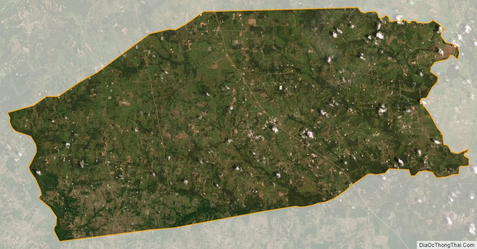
Madison County Satellite Map
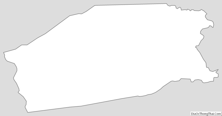
Madison County Outline Map