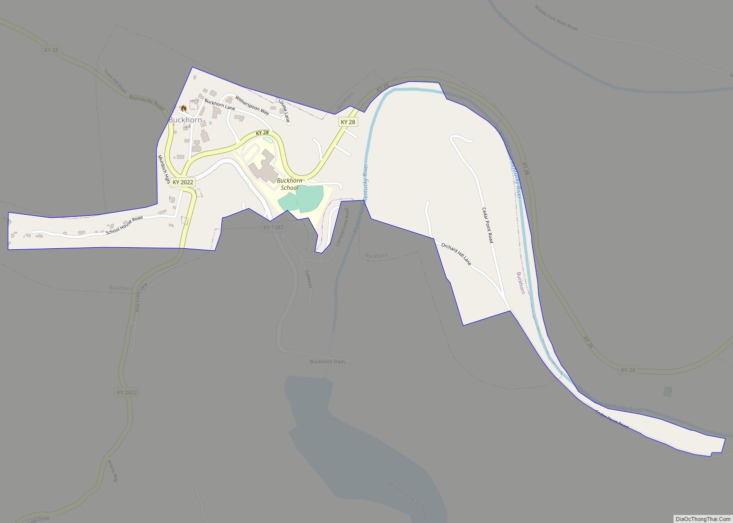
Perry County is a county in the U.S. state of Kentucky. As of the 2020 census, the population was 28,473. Its county seat is Hazard. The county was founded in 1820. Both the county and county seat are named for Commodore Oliver Hazard Perry, a naval hero in the War of 1812.
| Name: | Perry County |
|---|---|
| FIPS code: | 21-193 |
| State: | Kentucky |
| Founded: | November 2, 1820 |
| Named for: | Oliver Hazard Perry |
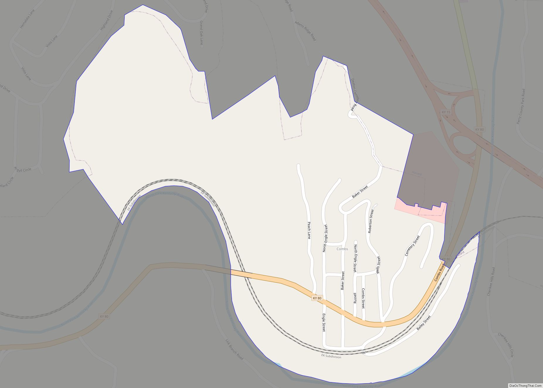
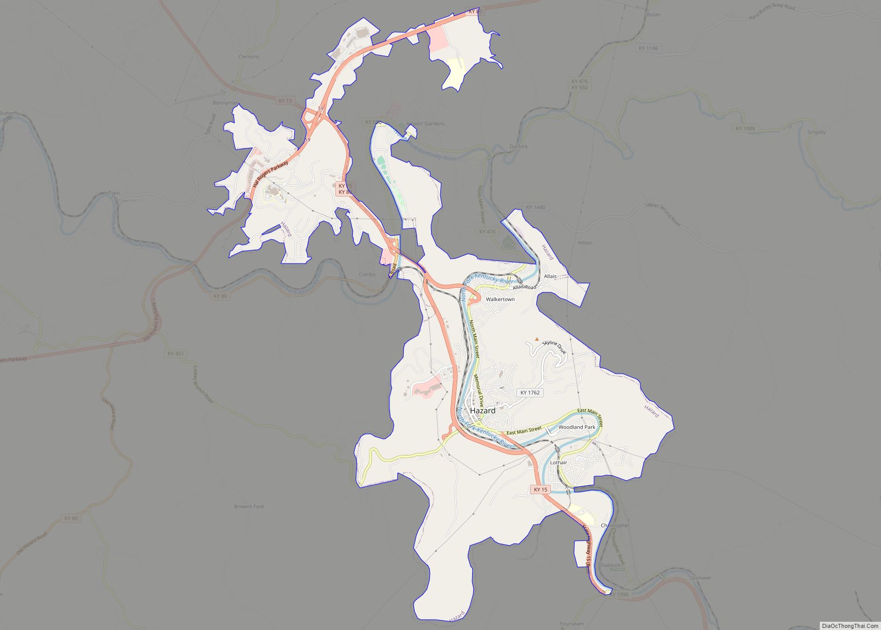
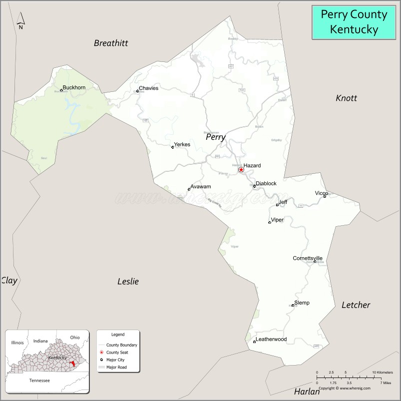
| Seat: | Hazard |
| Largest city: | Hazard |
| Total Area: | 343 sq mi (890 km²) |
| Land Area: | 340 sq mi (900 km²) |
| Total Population: | 28,473 |
| Population Density: | 83/sq mi (32/km²) |
| Time zone: | UTC−5 (Eastern) |
| Summer Time Zone (DST): | UTC−4 (EDT) |
| Website: | www.perrycounty.ky.gov |
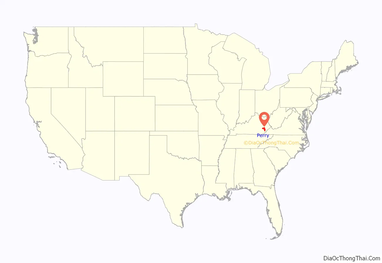
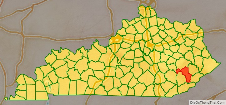
Perry County location map. Where is Perry County?
History
The area presently bounded by Kentucky state lines was a part of the U.S. State of Virginia, known as Kentucky County when the British colonies separated themselves in the American Revolutionary War. In 1780, Kentucky County was divided into three counties: Fayette, Jefferson, and Lincoln. In 1791, this area was separated into the State of Kentucky; it became effective on June 1, 1792. From that time, the original three counties were divided several times. By 1820, the present Perry County was formed from portions of Floyd and Clay counties. In 1824 the first post office was built on the north fork of the Kentucky River, and was called the Perry Post Office. The first settlers around this area were Elijah Combs, his seven brothers and daughter Jade miller.
The county’s economy has long been based on logging and mining coal.
Perry County is home to Hazard Community and Technical College. It is also home to the Hazard ARH Regional Medical Center, a not-for-profit health system operating 10 hospitals, multi-specialty physician practices, home health agencies, HomeCare Stores and retail pharmacies. It is the largest provider of care and single largest employer in southeastern Kentucky and the third largest private employer in southern West Virginia.
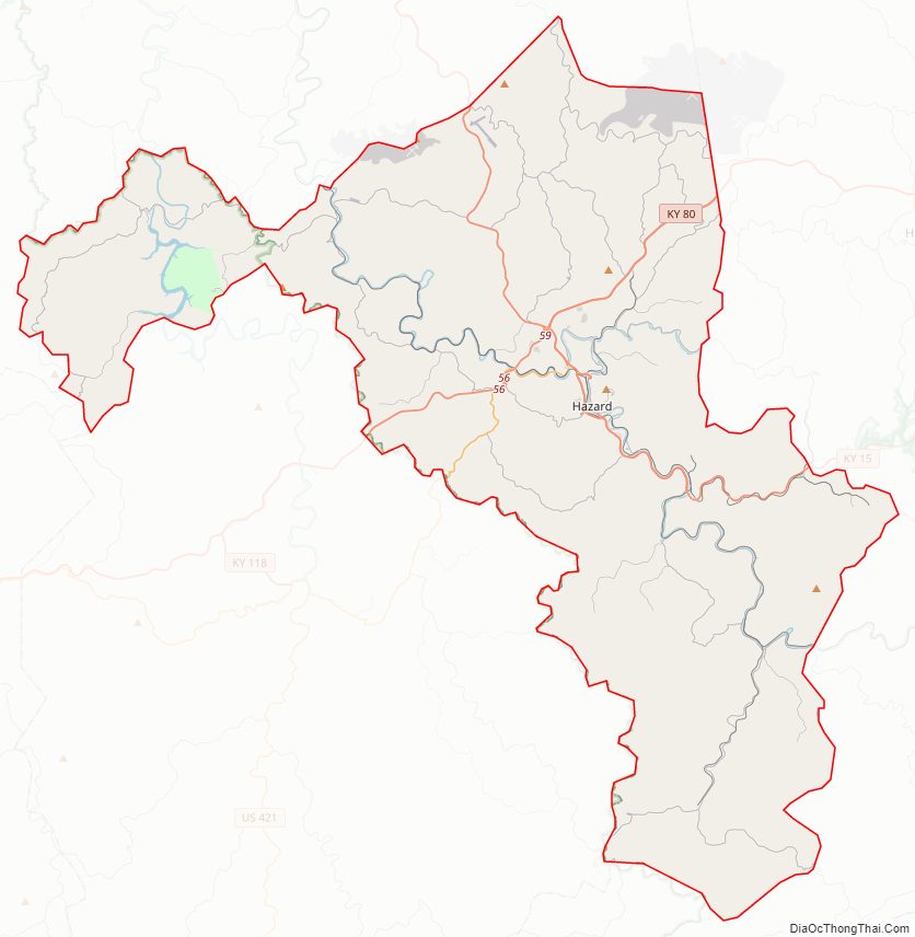
Perry County Road Map
Geography
According to the United States Census Bureau, the county has a total area of 343 square miles (890 km), of which 340 square miles (880 km) is land and 2.9 square miles (7.5 km) (0.9%) is water.
Adjacent counties
- Breathitt County (north)
- Knott County (northeast)
- Letcher County (southeast)
- Harlan County (south)
- Leslie County (west)
- Clay County (northwest)
- Owsley County (northwest)
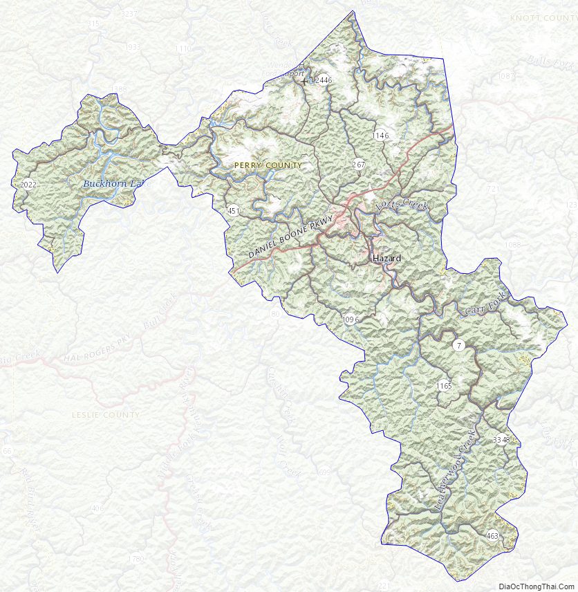
Perry County Topographic Map
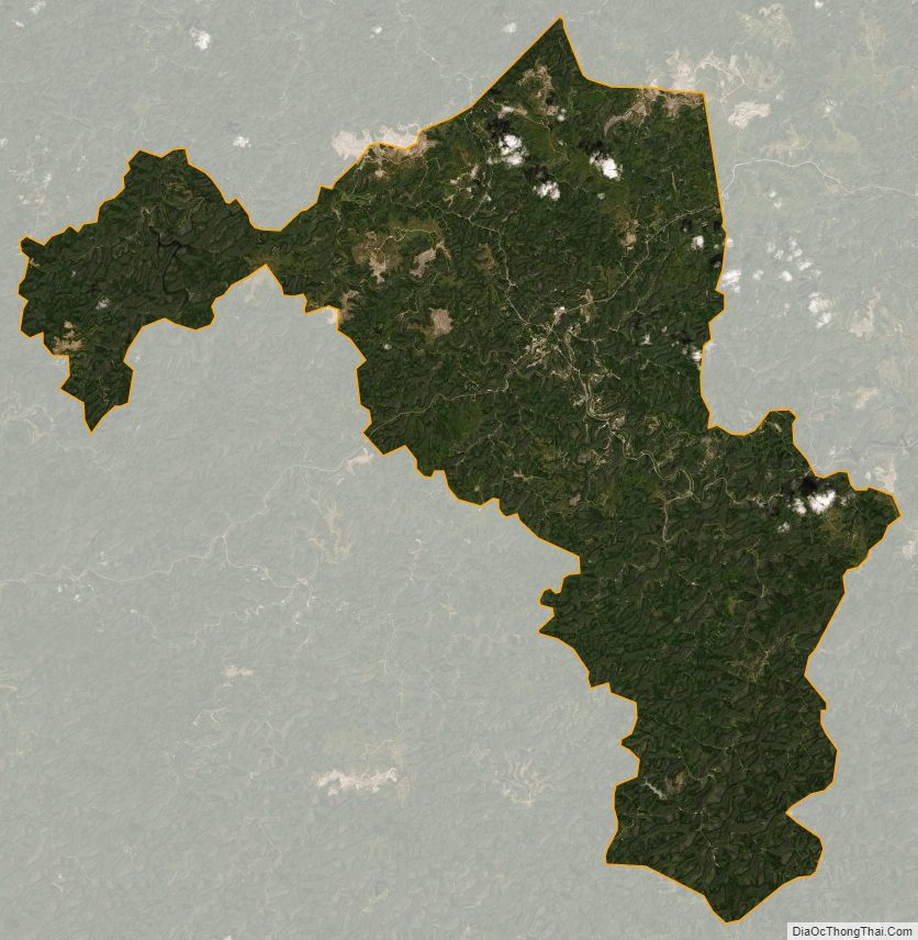
Perry County Satellite Map
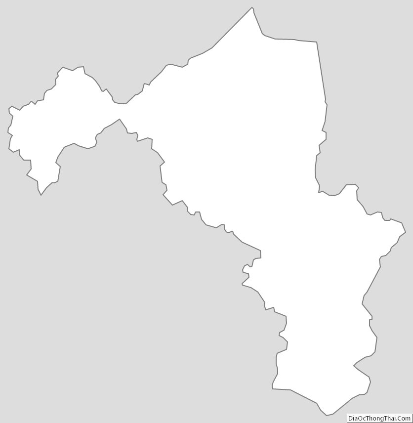
Perry County Outline Map