| Name: | Levy County |
|---|---|
| FIPS code: | 12-075 |
| State: | Florida |
| Founded: | March 10, 1845 |
| Named for: | David Levy Yulee |
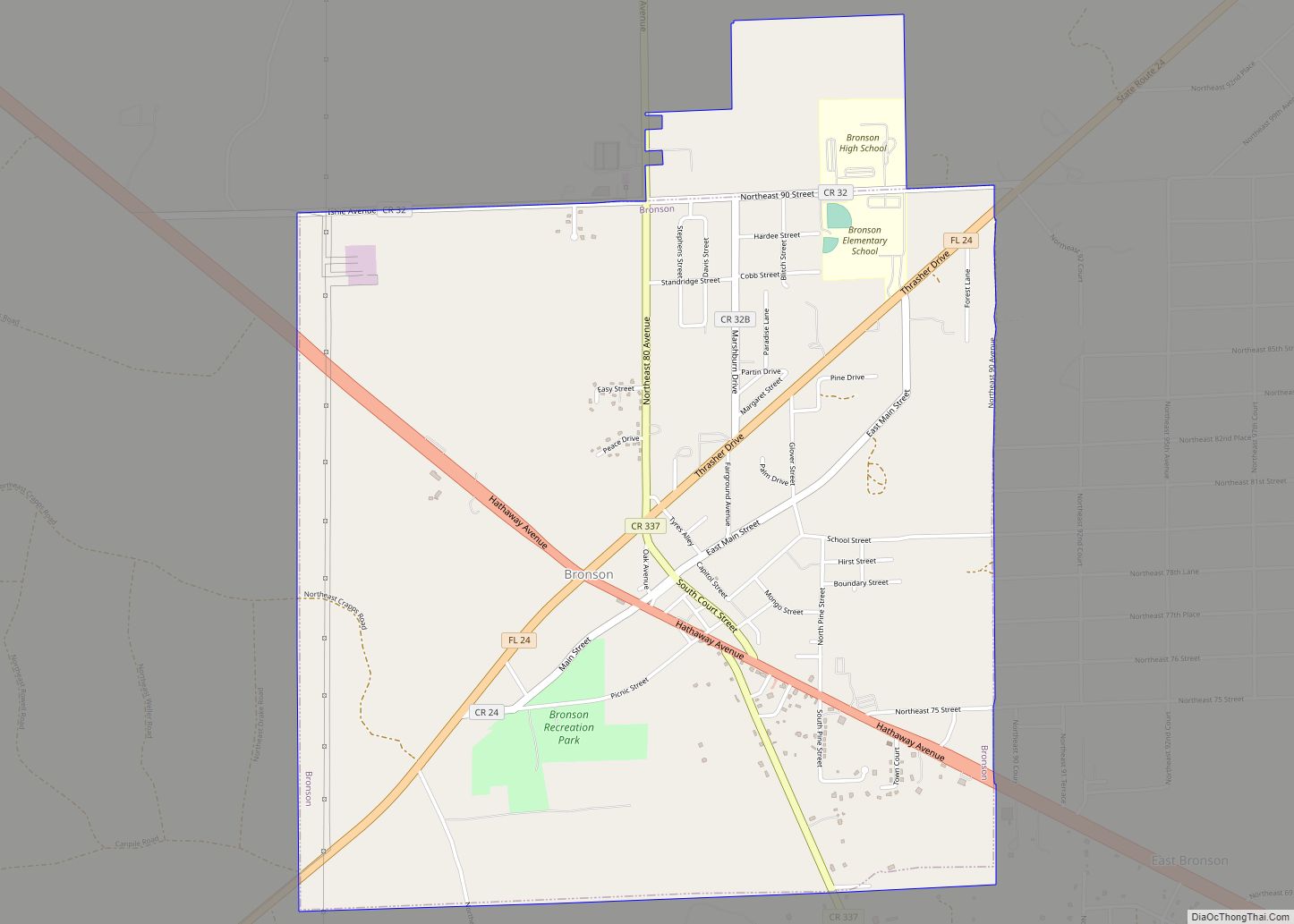
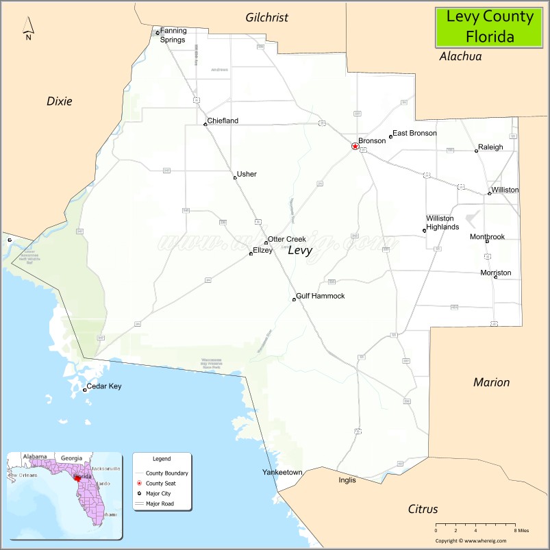
| Seat: | Bronson |
| Largest city: | Williston |
| Total Area: | 1,413 sq mi (3,660 km²) |
| Land Area: | 1,118 sq mi (2,900 km²) |
| Total Population: | 42,915 |
| Population Density: | 38/sq mi (15/km²) |
| Time zone: | UTC−5 (Eastern) |
| Summer Time Zone (DST): | UTC−4 (EDT) |
| Website: | www.levycounty.org |
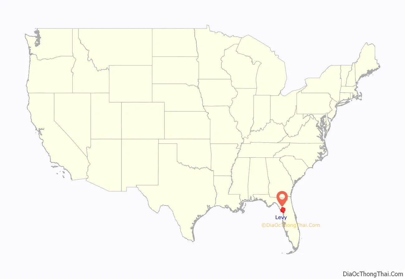
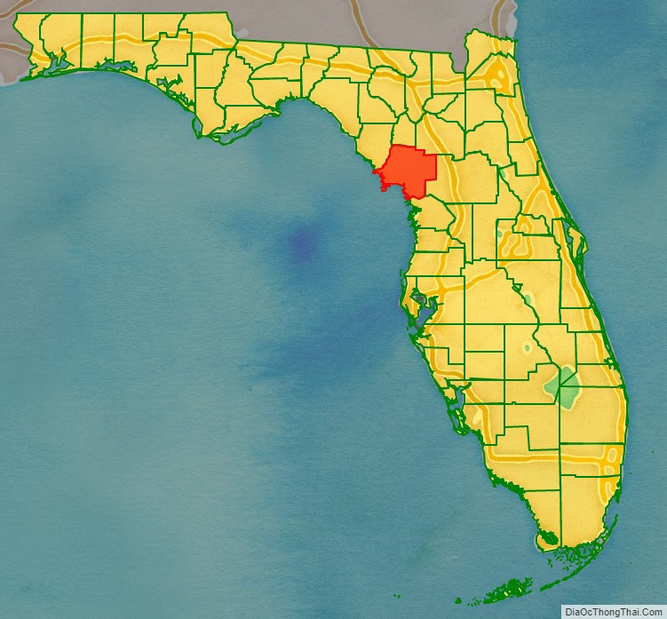
Levy County location map. Where is Levy County?
History
Levy County was created in 1845, after the Seminole Wars. It was named for David Levy Yulee, a planter elected in 1841 as the state’s territorial delegate to the US House of Representatives, where he served two terms.
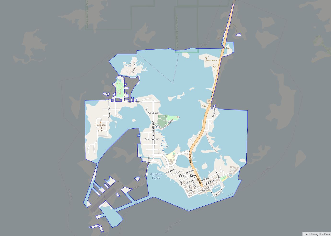
Levy provided for long-term development in the state by constructing the first railroad across Florida, the Florida Railroad, linking the deep-water ports of Fernandina (Port of Fernandina) on the Atlantic Ocean and Cedar Key on the Gulf of Mexico.
The Rosewood Massacre occurred in Levy County in the first week of January 1923. White citizens from the nearby town of Sumner, reacting to a what turned out to be a false accusation that a black man raped a white woman, burned the predominantly black town of Rosewood to the ground and brutally murdered several of Rosewood’s black citizens. A film based on the incident was made in 1997, but was not filmed in Levy County.
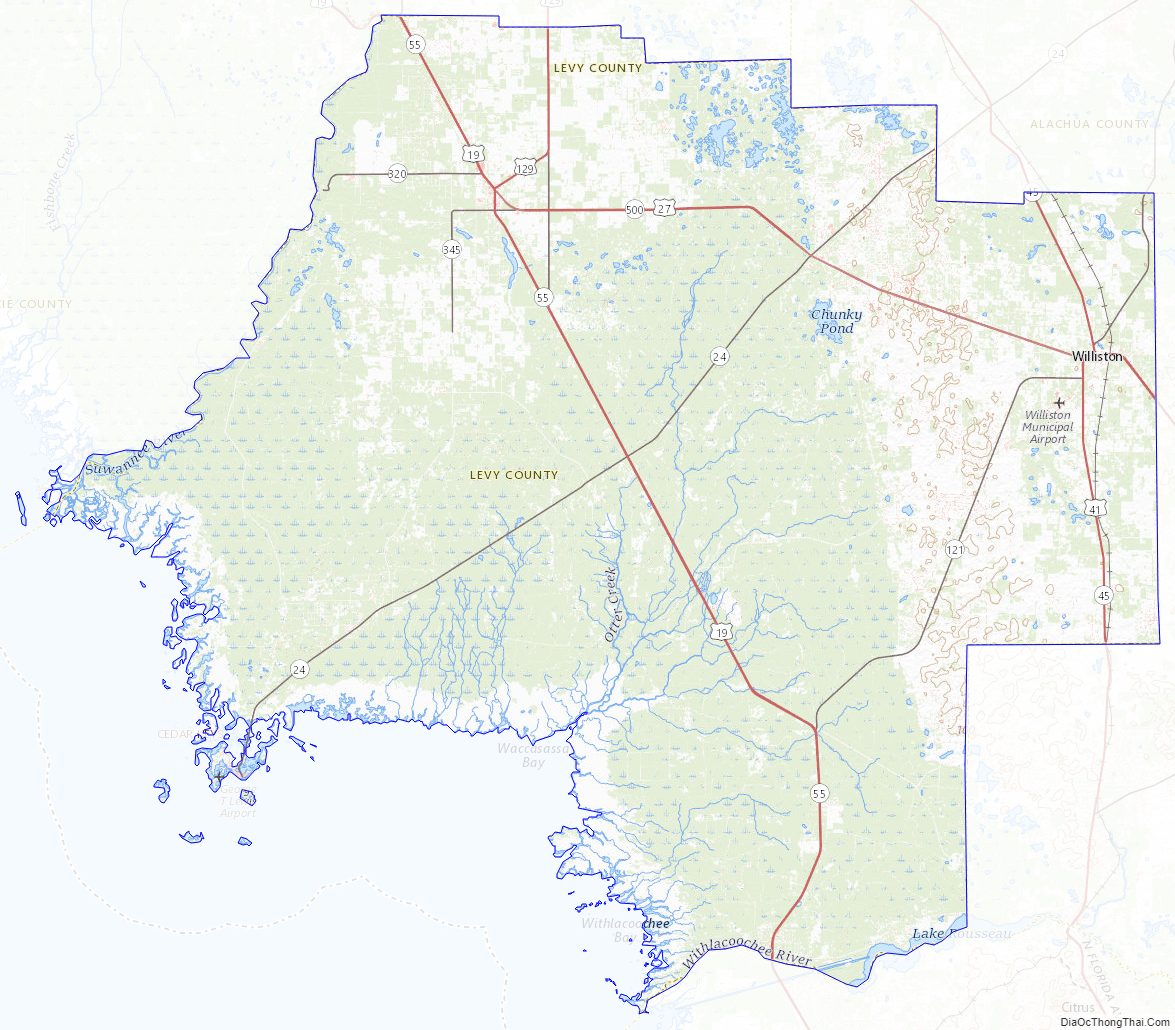
Levy County Road Map
Geography
According to the U.S. Census Bureau, the county has a total area of 1,413 square miles (3,660 km), of which 1,118 square miles (2,900 km) is land and 295 square miles (760 km) (20.9%) is water.
Adjacent counties
- Dixie County — west
- Gilchrist County — north
- Alachua County — northeast
- Marion County — east
- Citrus County — south
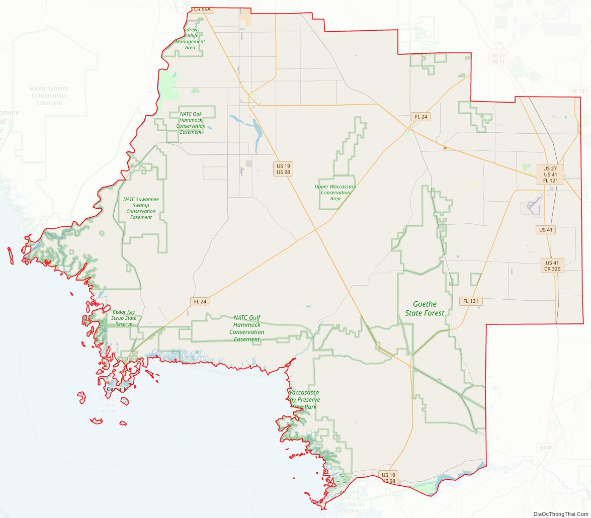
National protected areas
- Cedar Keys National Wildlife Refuge
- Lower Suwannee National Wildlife Refuge (part)
Levy County Topographic Map
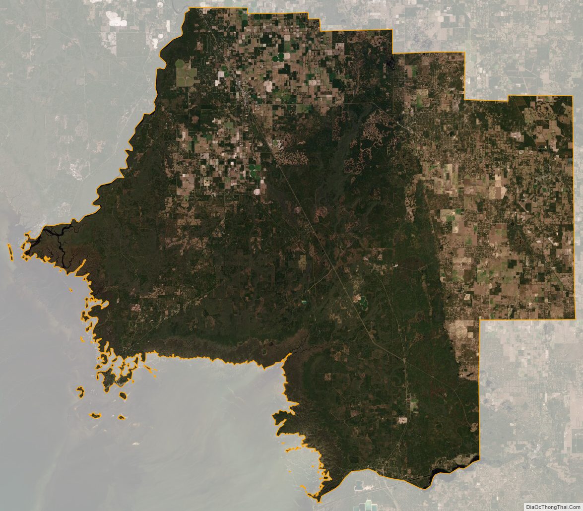
Levy County Satellite Map
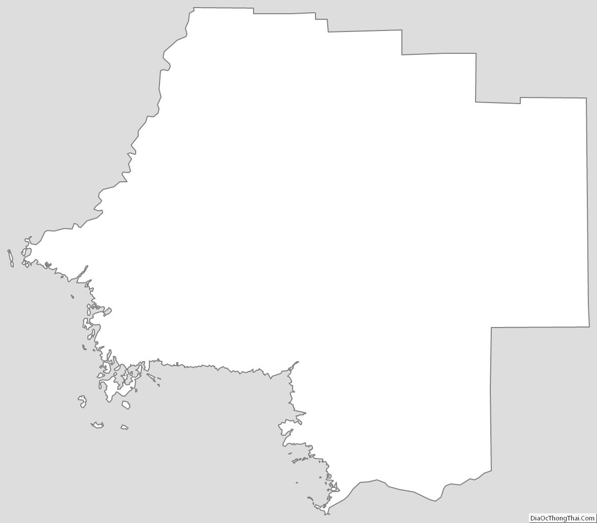
Levy County Outline Map