Chiefland is a city in Levy County, Florida, United States. The population was 2,316 at the 2020 census. Chiefland calls itself the “Gem of the Suwannee Valley” and was incorporated in 1929.
| Name: | Chiefland city |
|---|---|
| LSAD Code: | 25 |
| LSAD Description: | city (suffix) |
| State: | Florida |
| County: | Levy County |
| Elevation: | 33 ft (10 m) |
| Total Area: | 6.75 sq mi (17.50 km²) |
| Land Area: | 6.75 sq mi (17.50 km²) |
| Water Area: | 0.00 sq mi (0.00 km²) |
| Total Population: | 2,316 |
| Population Density: | 342.86/sq mi (132.37/km²) |
| ZIP code: | 32626, 32644 |
| Area code: | 352 |
| FIPS code: | 1211925 |
| GNISfeature ID: | 0307630 |
| Website: | chiefland.govoffice.com |
Online Interactive Map
Click on ![]() to view map in "full screen" mode.
to view map in "full screen" mode.
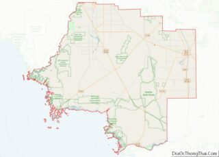
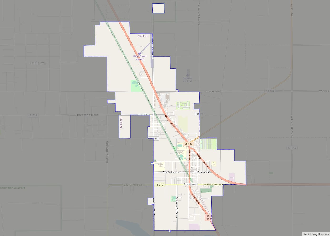
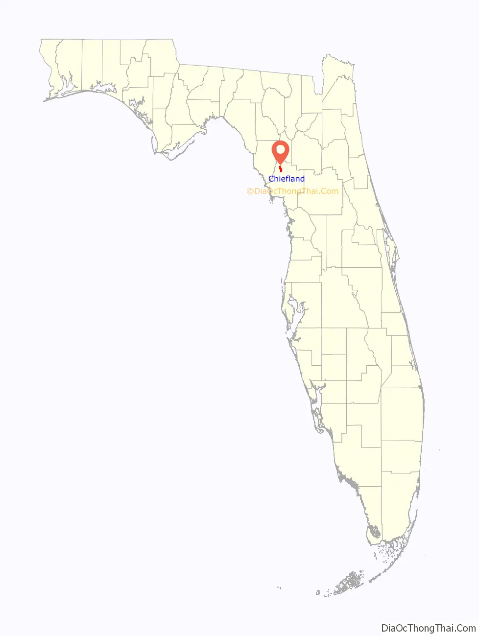
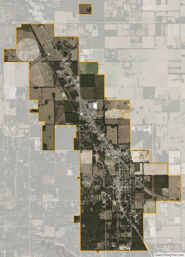
Chiefland location map. Where is Chiefland city?

History
A village of the Timucua people was once located south of the present city and at Manatee Springs. The area’s economy is traditionally based on agriculture, primarily farming (peanuts, watermelons, hay); ranching (cattle, hogs); dairy (milk); timber (pulpwood, lumber, turpentine) and aquaculture (fishing, oystering, crabbing).
In July 1927, a Black man named Albert Williams was murdered by a mob. He had allegedly assaulted a white turpentine operator over a debt he owed the white man, and “was shot to death by a mob”.
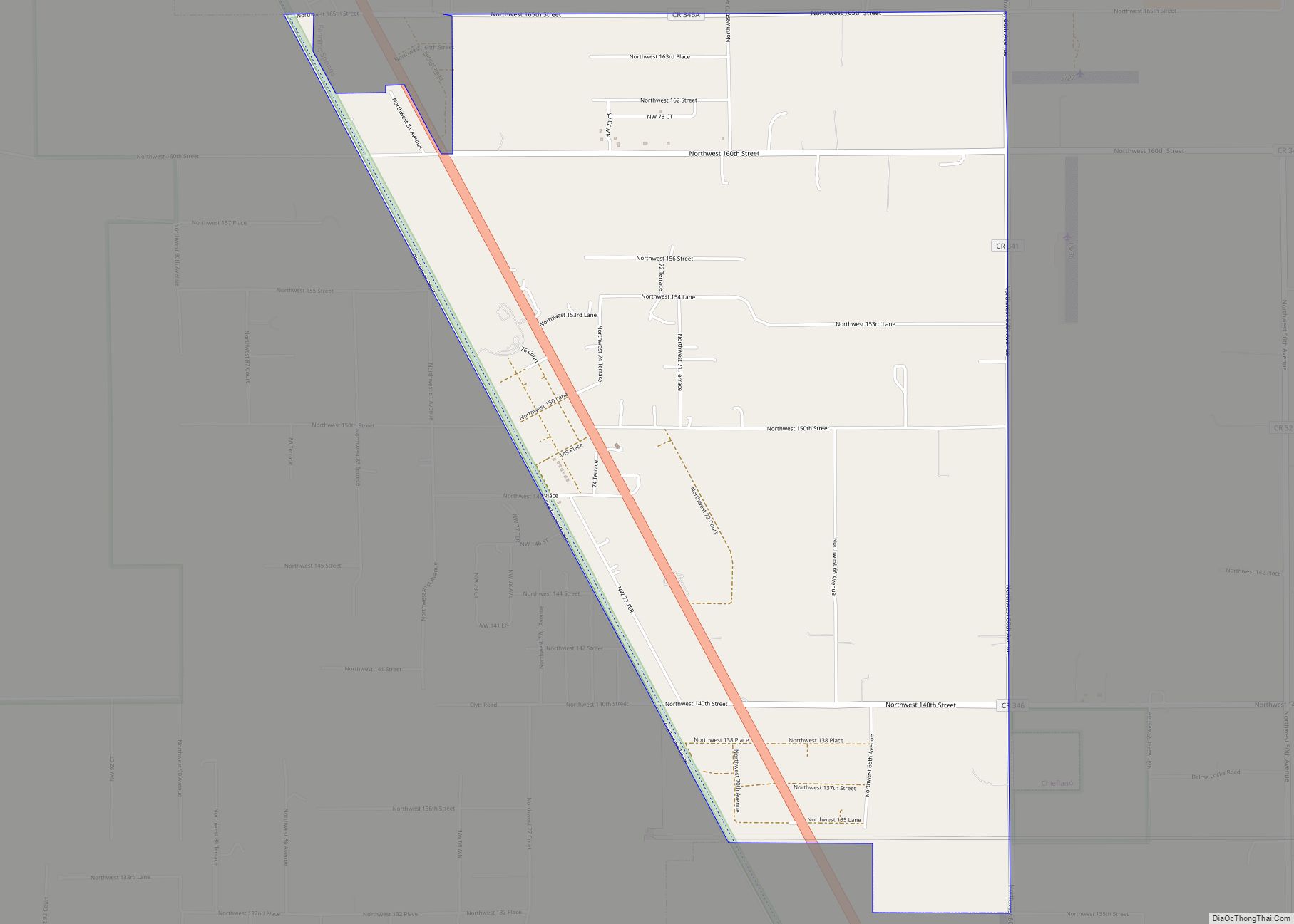
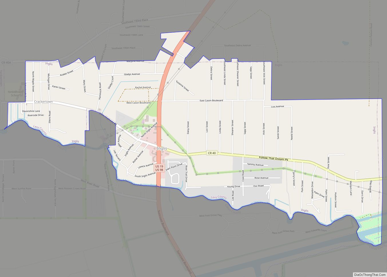
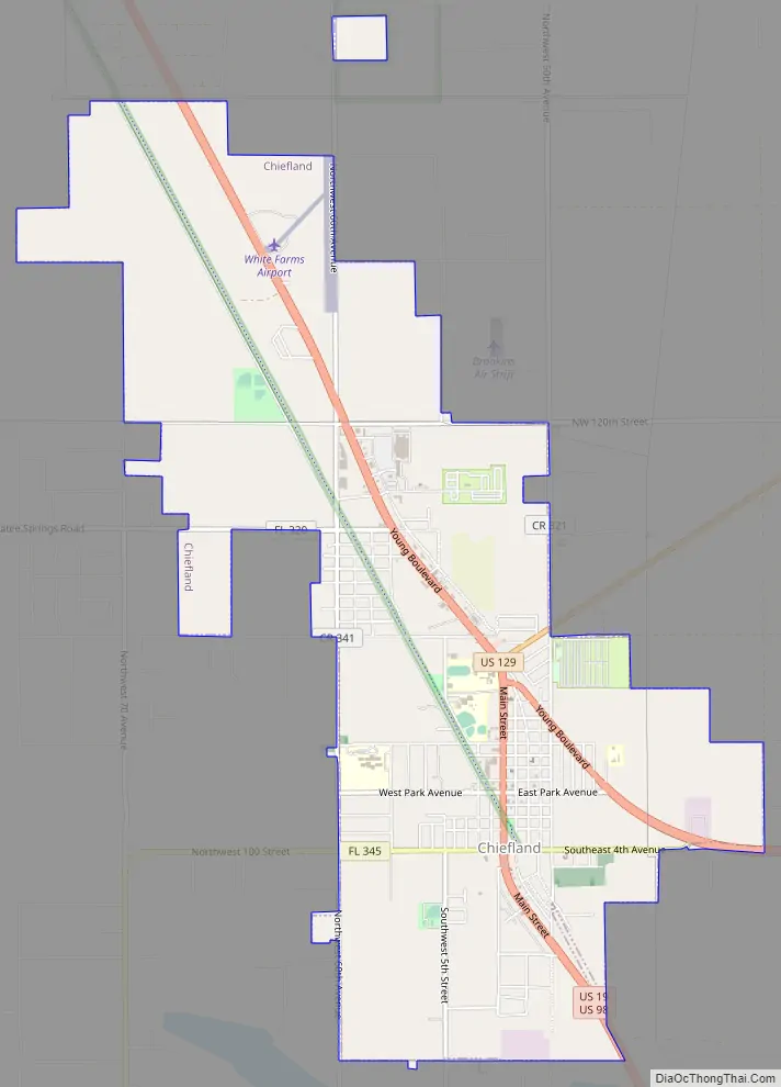
Chiefland Road Map
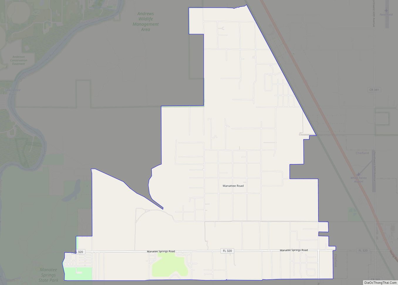
Chiefland city Satellite Map
Geography
Chiefland is located at 29°28′54″N 82°51′44″W / 29.48167°N 82.86222°W / 29.48167; -82.86222 (29.481801, –82.862097).
According to the United States Census Bureau, the city has a total area of 16.1 square miles (42 km), all land.
Chiefland is at the junction of U.S. Highways Alternate 27, 19, and 98. US 129 was converted into a separate junction in the early 21st century. It is 30 miles (48 km) southwest of Gainesville.
Climate
See also
Map of Florida State and its subdivision:- Alachua
- Baker
- Bay
- Bradford
- Brevard
- Broward
- Calhoun
- Charlotte
- Citrus
- Clay
- Collier
- Columbia
- Desoto
- Dixie
- Duval
- Escambia
- Flagler
- Franklin
- Gadsden
- Gilchrist
- Glades
- Gulf
- Hamilton
- Hardee
- Hendry
- Hernando
- Highlands
- Hillsborough
- Holmes
- Indian River
- Jackson
- Jefferson
- Lafayette
- Lake
- Lee
- Leon
- Levy
- Liberty
- Madison
- Manatee
- Marion
- Martin
- Miami-Dade
- Monroe
- Nassau
- Okaloosa
- Okeechobee
- Orange
- Osceola
- Palm Beach
- Pasco
- Pinellas
- Polk
- Putnam
- Saint Johns
- Saint Lucie
- Santa Rosa
- Sarasota
- Seminole
- Sumter
- Suwannee
- Taylor
- Union
- Volusia
- Wakulla
- Walton
- Washington
- Alabama
- Alaska
- Arizona
- Arkansas
- California
- Colorado
- Connecticut
- Delaware
- District of Columbia
- Florida
- Georgia
- Hawaii
- Idaho
- Illinois
- Indiana
- Iowa
- Kansas
- Kentucky
- Louisiana
- Maine
- Maryland
- Massachusetts
- Michigan
- Minnesota
- Mississippi
- Missouri
- Montana
- Nebraska
- Nevada
- New Hampshire
- New Jersey
- New Mexico
- New York
- North Carolina
- North Dakota
- Ohio
- Oklahoma
- Oregon
- Pennsylvania
- Rhode Island
- South Carolina
- South Dakota
- Tennessee
- Texas
- Utah
- Vermont
- Virginia
- Washington
- West Virginia
- Wisconsin
- Wyoming