Citrus County is a county located on the west central coast of the U.S. state of Florida. As of the 2020 census, the population was 153,843. Its county seat is Inverness, and its largest community is Homosassa Springs.
Citrus County comprises the Homosassa Springs, Florida Metropolitan Statistical Area.
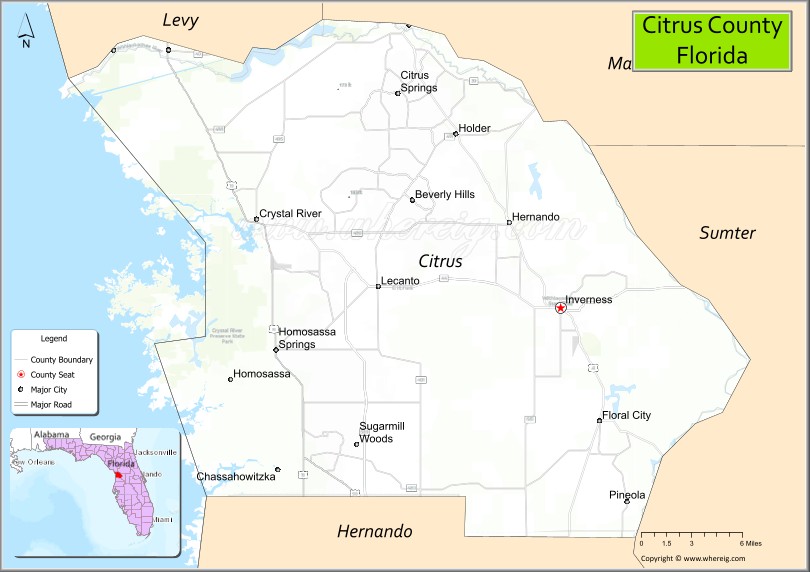
| Name: | Citrus County |
|---|---|
| FIPS code: | 12-017 |
| State: | Florida |
| Founded: | June 2, 1887 |
| Named for: | Citrus trees (previously a major industry in the county) |
| Seat: | Inverness |
| Total Area: | 773 sq mi (2,000 km²) |
| Land Area: | 582 sq mi (1,510 km²) |
| Total Population: | 153,843 |
| Population Density: | 264/sq mi (102/km²) |
| Time zone: | UTC−5 (Eastern) |
| Summer Time Zone (DST): | UTC−4 (EDT) |
| Website: | www.citrusbocc.com |
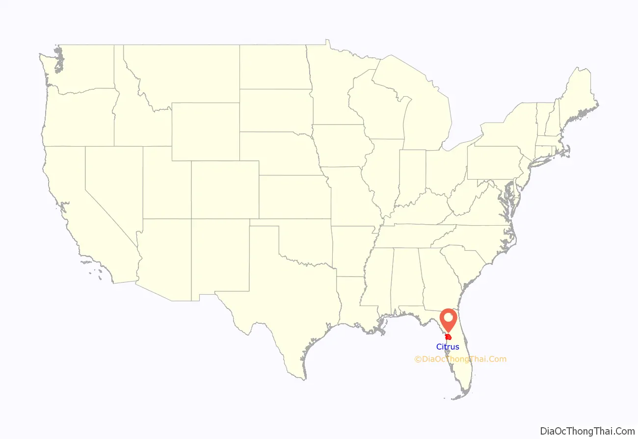
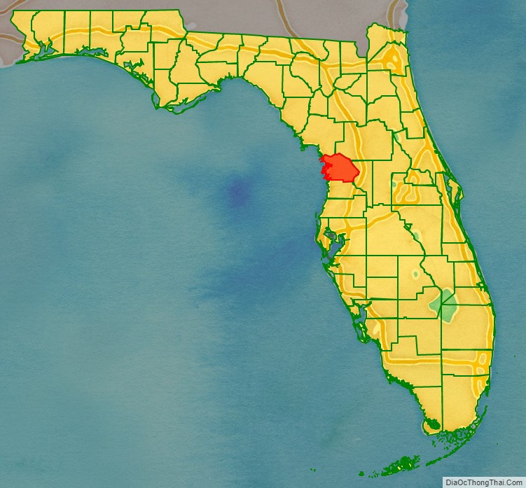
Citrus County location map. Where is Citrus County?
History
The area covered by present-day Citrus County is thought to have been first occupied at least 10,000 years ago. About 2,500 years ago, mound-building Native Americans settled in the area and built the complex that now forms the Crystal River Archeological Site. The site was occupied for about 2,000 years. Why the complex was abandoned is currently unknown.
Citrus County was created in 1887. The Citrus County area was formerly part of Hernando County. It was named for the county’s citrus groves. Citrus production declined dramatically after the “Big Freeze” of 1894-1895: today, citrus is grown on one large grove, Bellamy Grove; additionally, some residents have citrus trees on their personal property.
After the Big Freeze the next major industry was phosphate mining, which continued until World War I. Planned industrial development surrounding the construction of the Cross Florida Barge Canal never came to fruition when the partially-built canal was terminated after environmental opposition. A later attempt to create a port (Port Citrus) from the portion of the canal that was completed resulted in no significant progress and the county voted in 2015 to scuttle the project.
The original Citrus County seat was Mannfield (incorrectly spelled Mansfield or Mannsfeld in some sources). The county seat was later moved to Inverness; only a street and a pond remain of the original county seat town.
The first library in Citrus County was founded in 1917 in Inverness. Other branches opened in Floral City in 1958, and Hernando in 1959, as well as the freestanding Crystal River and Homosassa Libraries. These libraries joined to create the Central Florida Library System in 1961. Beverly Hills Library opened in 1970 and joined the Central Florida Library System. A Special Library Taxing District was created by the voters in March 1984. In October 1987, the Citrus County Library System was established which allowed the county residents to administer their own system.
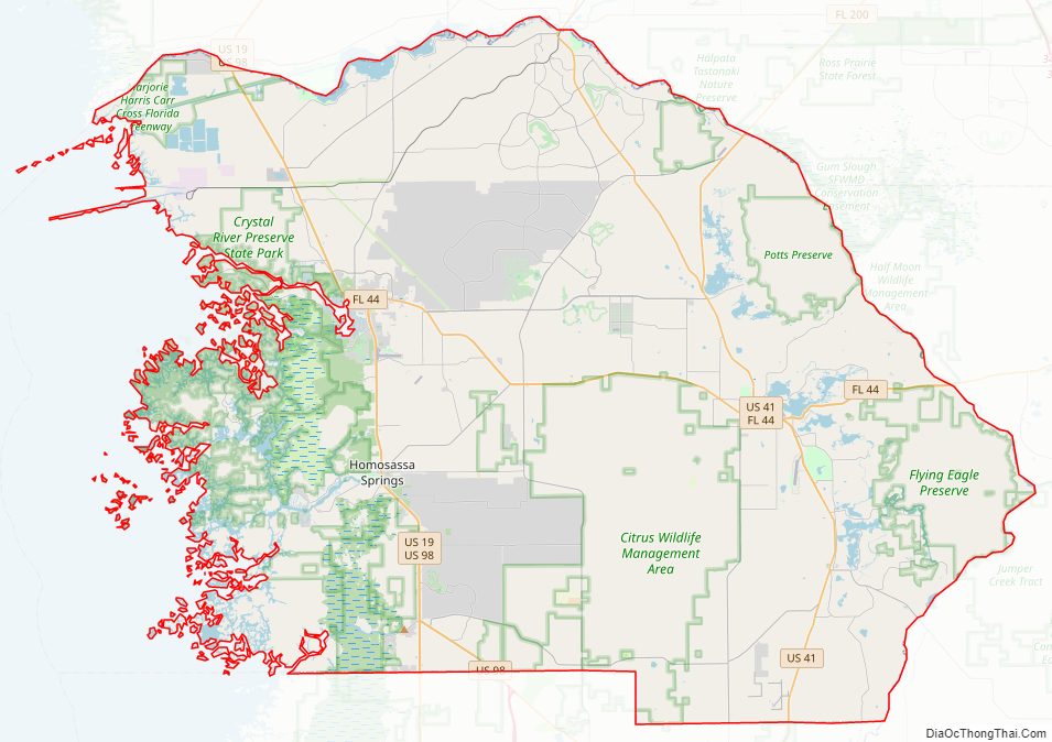
Citrus County Road Map
Geography
According to the U.S. Census Bureau, the county has a total area of 773 square miles (2,000 km), of which 582 square miles (1,510 km) is land and 192 square miles (500 km) (24.8%) is water.
There are a number of uninhabited and/or sparsely inhabited coastal islands that can be accessed via watercraft. While some of the Citrus County islands are state lands thus available for public use for recreational opportunities, many other Citrus County islands are private property and are either wholly or partially owned by private parties.
Adjacent counties
- Levy County – northwest
- Marion County – northeast
- Sumter County – east
- Hernando County – south
National protected areas
- Chassahowitzka National Wildlife Refuge (part)
- Crystal River National Wildlife Refuge
Fauna
According to the US Fish and Wildlife Services’ aerial manatee surveys, as many as 400 of these unique creatures can be found in Citrus County at one time. This typically occurs only during the coldest months of the year.
Manatees can also be viewed in the underwater observatory at Homosassa Springs Wildlife State Park. Most of the park’s residents are injured animals either undergoing rehabilitation for future release to the wild, or will be permanent due to their inability to be released to the wild. The notable exception is Lucifer, an African hippopotamus that had prior movie roles. When a permanent home could not be found for Lucifer, then-Governor Lawton Chiles named him an “honorary citizen of the state” thus allowing him to remain at the Park.
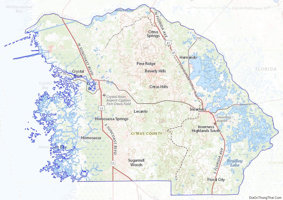
Citrus County Topographic Map
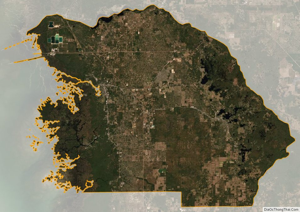
Citrus County Satellite Map
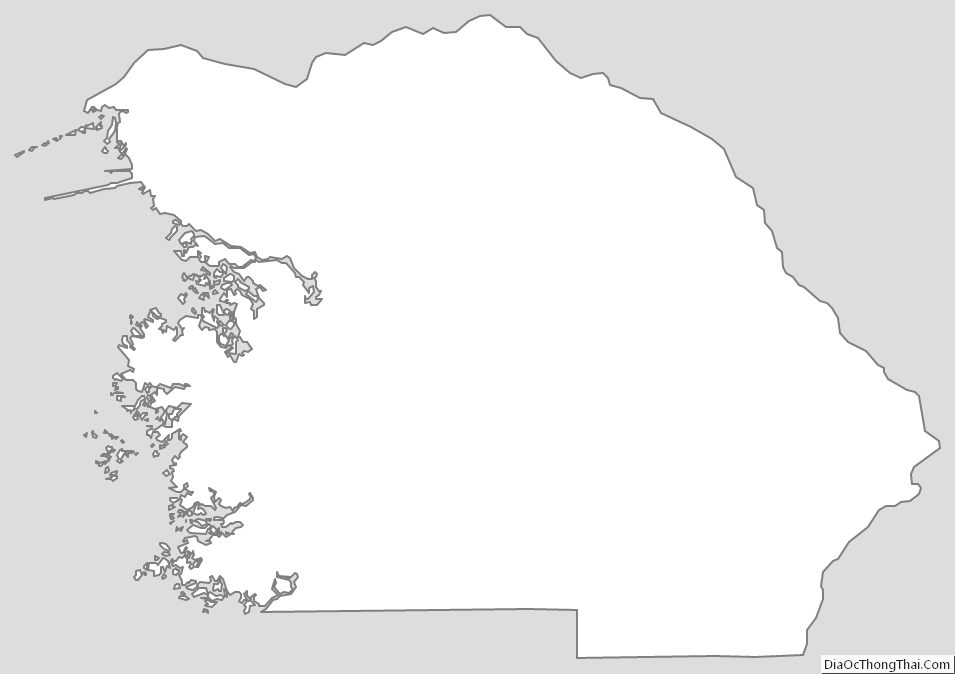
Citrus County Outline Map