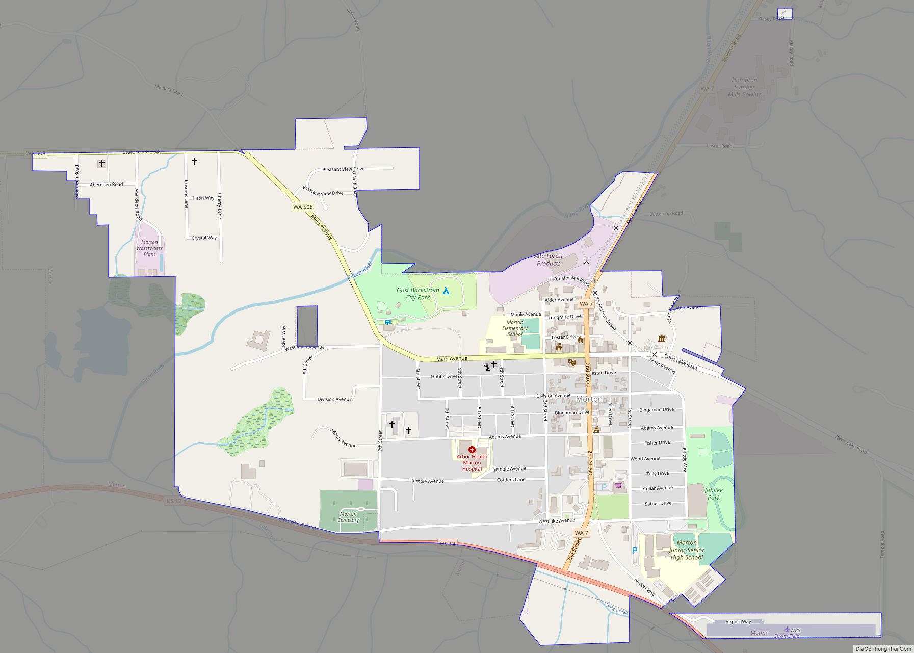
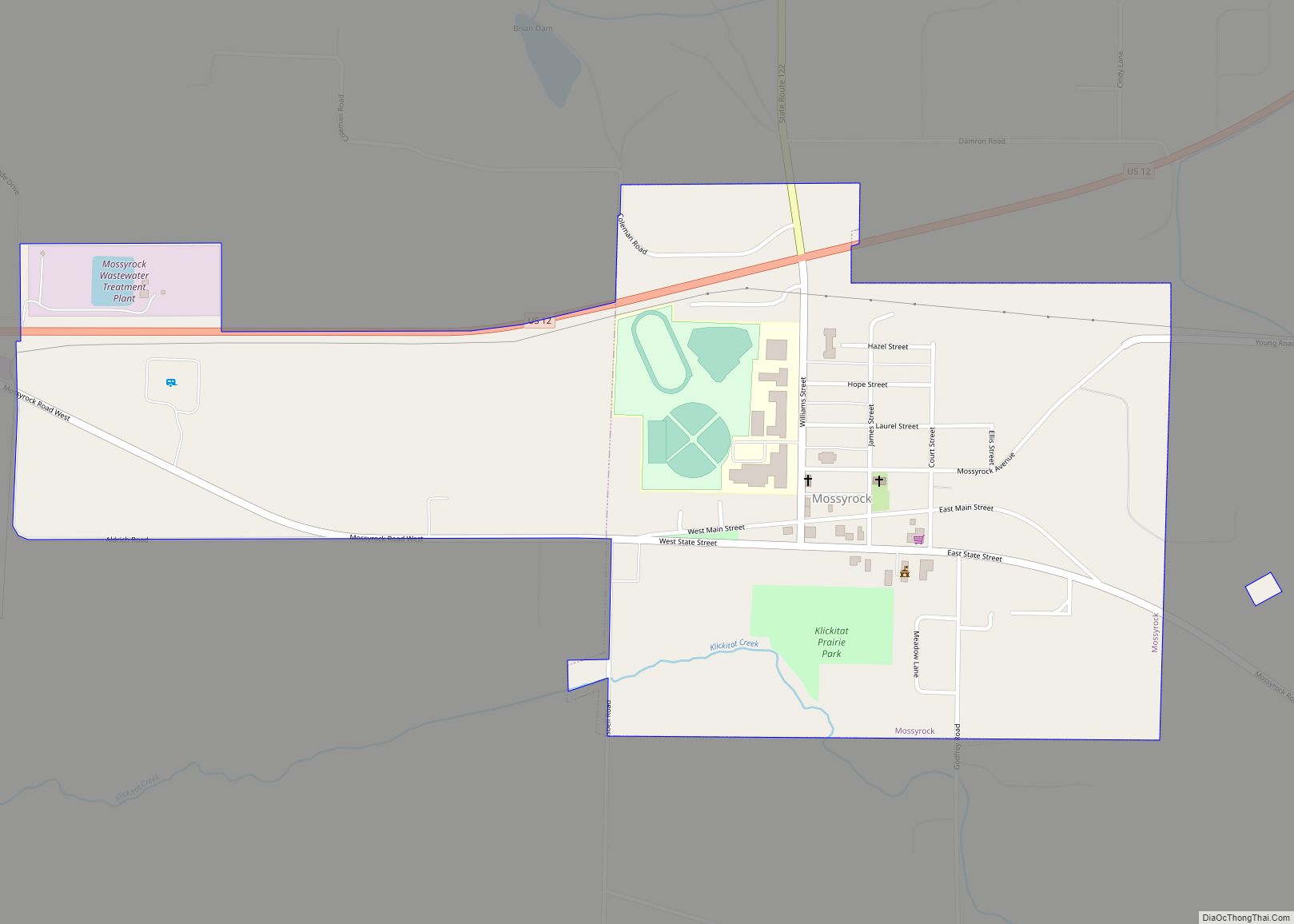
Lewis County is a county in the U.S. state of Washington. As of the 2020 census, the county’s population was 82,149. The county seat is Chehalis, and its largest city is Centralia. Lewis County comprises the Centralia, WA Micropolitan Statistical Area, which is also included in the Seattle–Tacoma, WA Combined Statistical Area.
| Name: | Lewis County |
|---|---|
| FIPS code: | 53-041 |
| State: | Washington |
| Founded: | December 19, 1845 |
| Named for: | Meriwether Lewis |
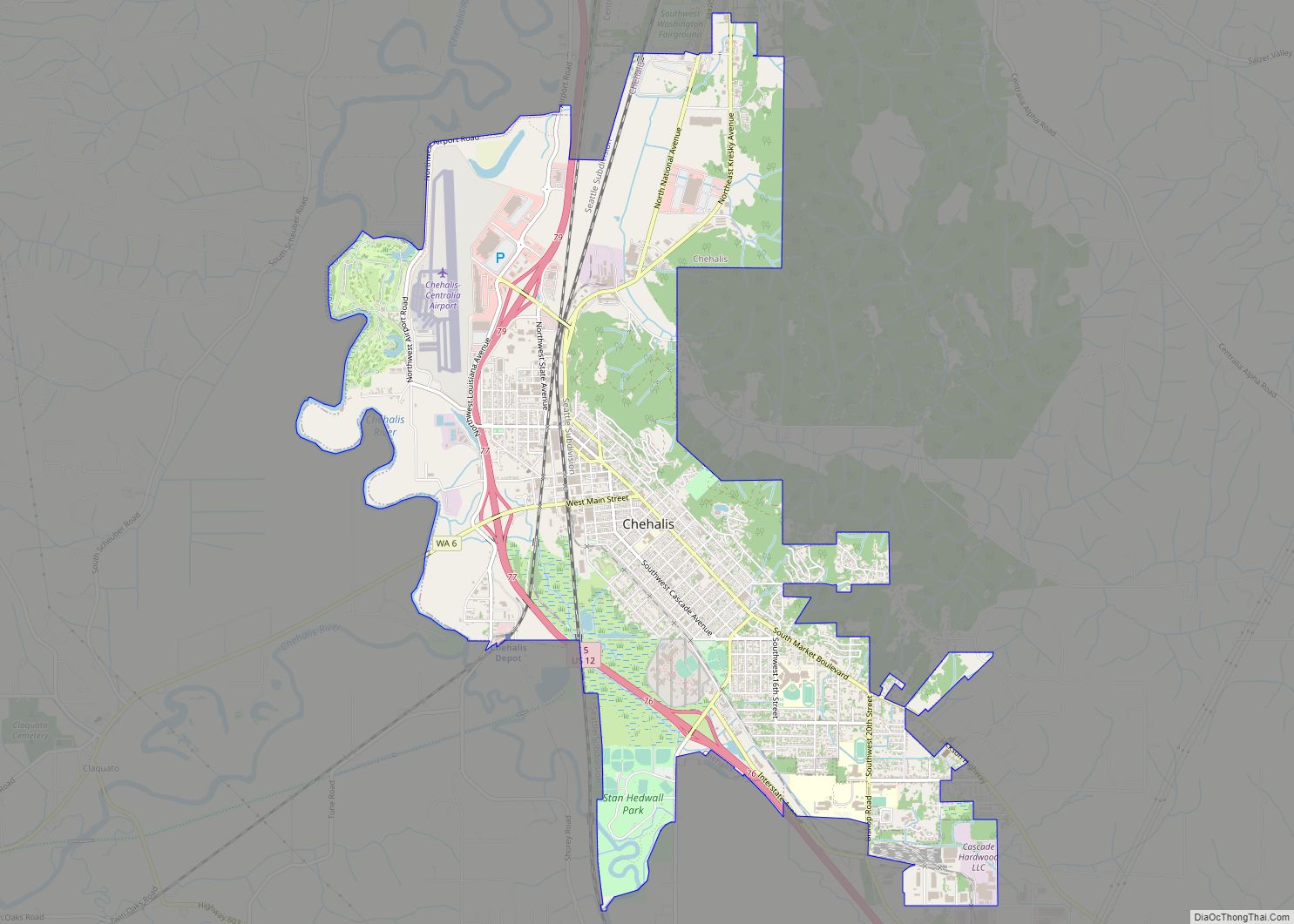
| Seat: | Chehalis |
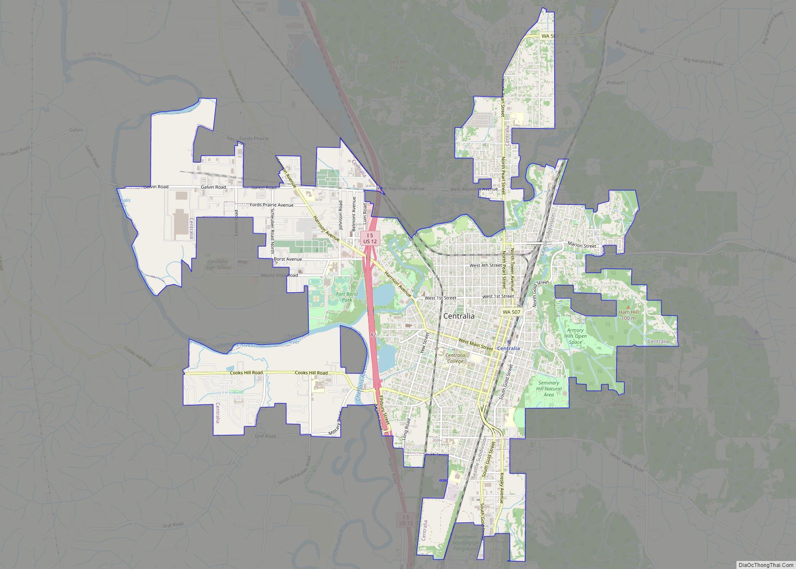
| Largest city: | Centralia |
| Total Area: | 2,436 sq mi (6,310 km²) |
| Land Area: | 2,403 sq mi (6,220 km²) |
| Total Population: | 82,149 |
| Population Density: | 32.5/sq mi (12.5/km²) |
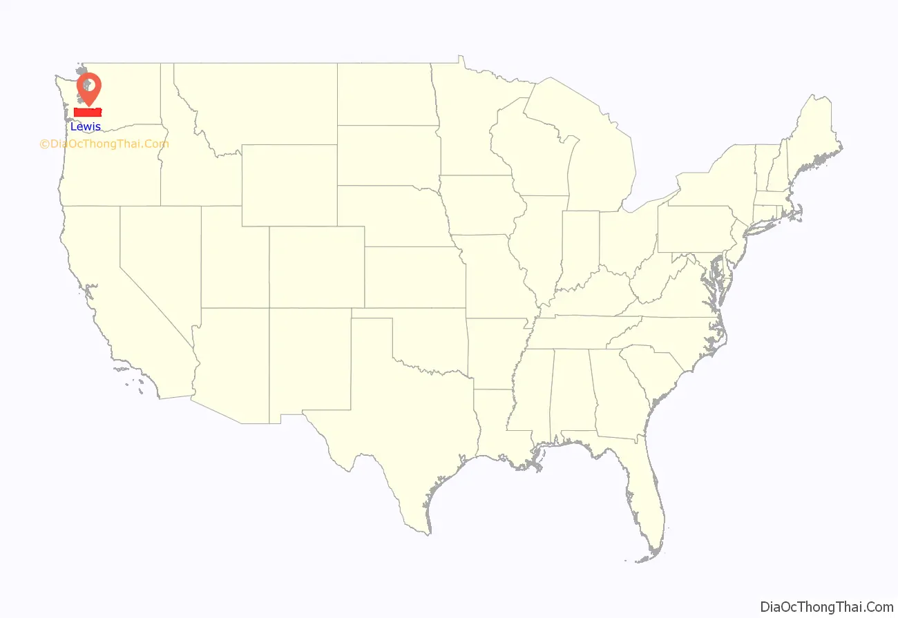
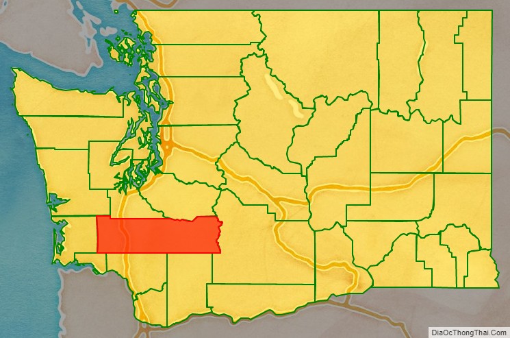
Lewis County location map. Where is Lewis County?
History
The county was created as Vancouver County on December 19, 1845, by the Provisional Government of Oregon, named for George Vancouver. In 1849, the county name was changed, to honor Meriwether Lewis. At the time, the county included all U.S. lands north of the Cowlitz River, including much of the Puget Sound region and British Columbia.
The county received official recognition as a “Purple Heart County” in November 2019.
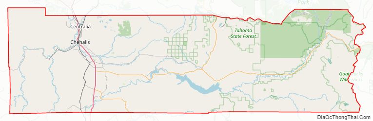
Lewis County Road Map
Geography
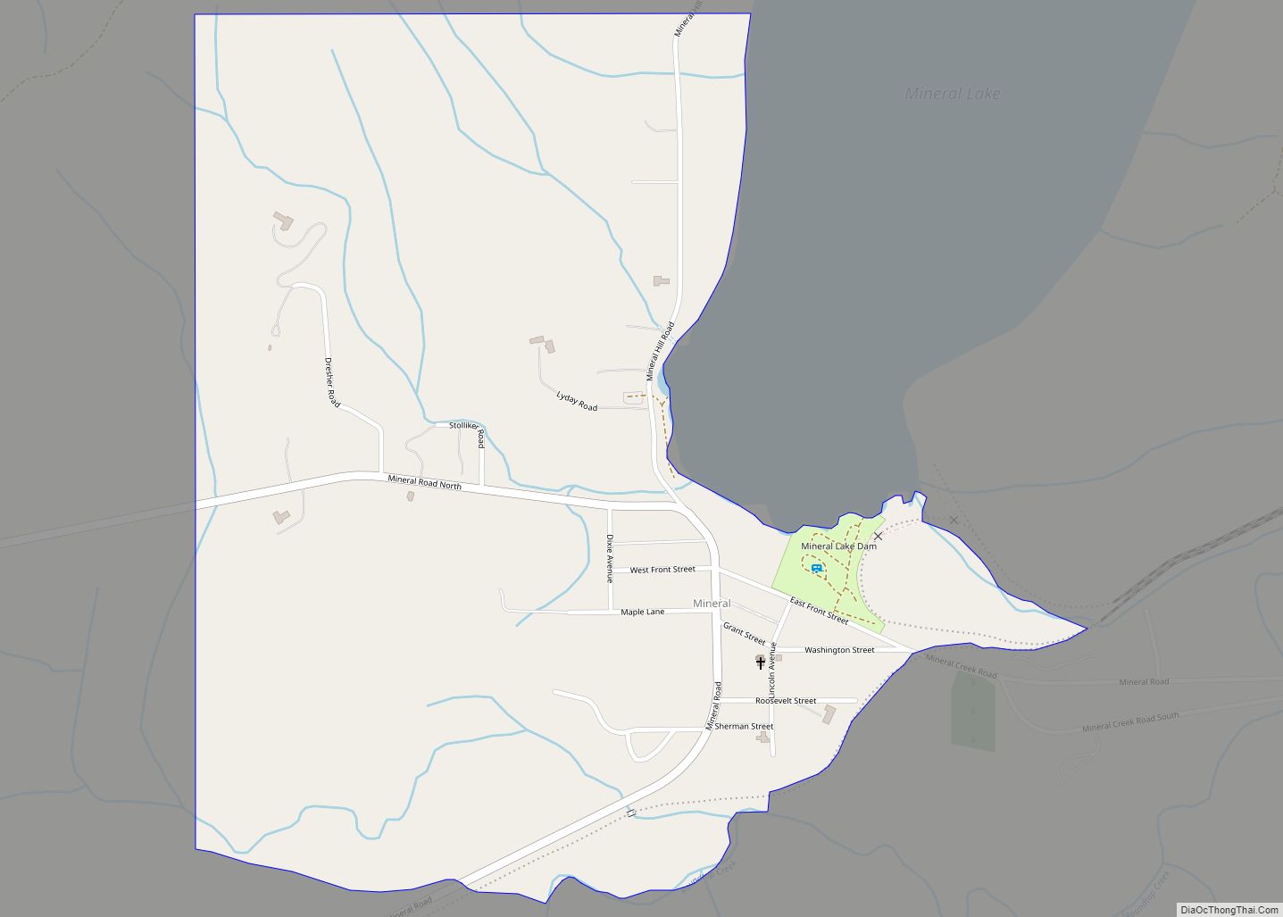
According to the United States Census Bureau, the county has a total area of 2,436 square miles (6,310 km), of which 2,403 square miles (6,220 km) is land and 33 square miles (85 km) (1.4%) is water. One of the world’s tallest Douglas fir trees was in the town of Mineral within Lewis County, attaining a height of 120 metres (390 ft).
Geographic features
- Cascade Mountains
- Chehalis River
- Cowlitz River
- Nisqually River
- Lake Mayfield
- Riffe Lake
- Big Horn, the highest point in Lewis county
- Boistfort Peak, the highest point in the Willapa Hills
- Walupt Creek Falls
Major highways
- Interstate 5
- U.S. Route 12
- State Route 6
- State Route 7
Adjacent counties
- Grays Harbor County – north/northwest
- Thurston County – north
- Pierce County – north/northeast
- Yakima County – east
- Skamania County – south/southeast
- Cowlitz County – south
- Wahkiakum County – south/southwest
- Pacific County – west
National protected areas
- Gifford Pinchot National Forest (part)
- Mount Baker-Snoqualmie National Forest (part)
- Mount Rainier National Park (part)
- Mount St. Helens National Volcanic Monument (part)
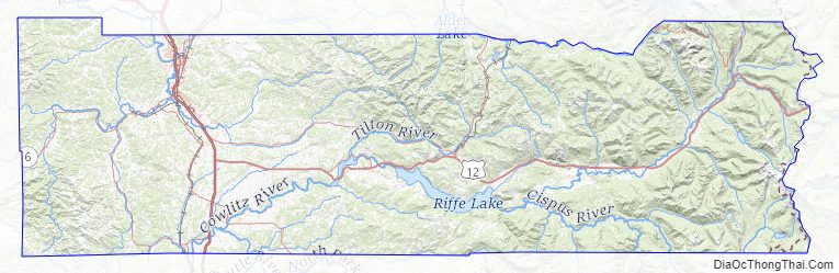
Lewis County Topographic Map
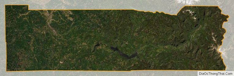
Lewis County Satellite Map
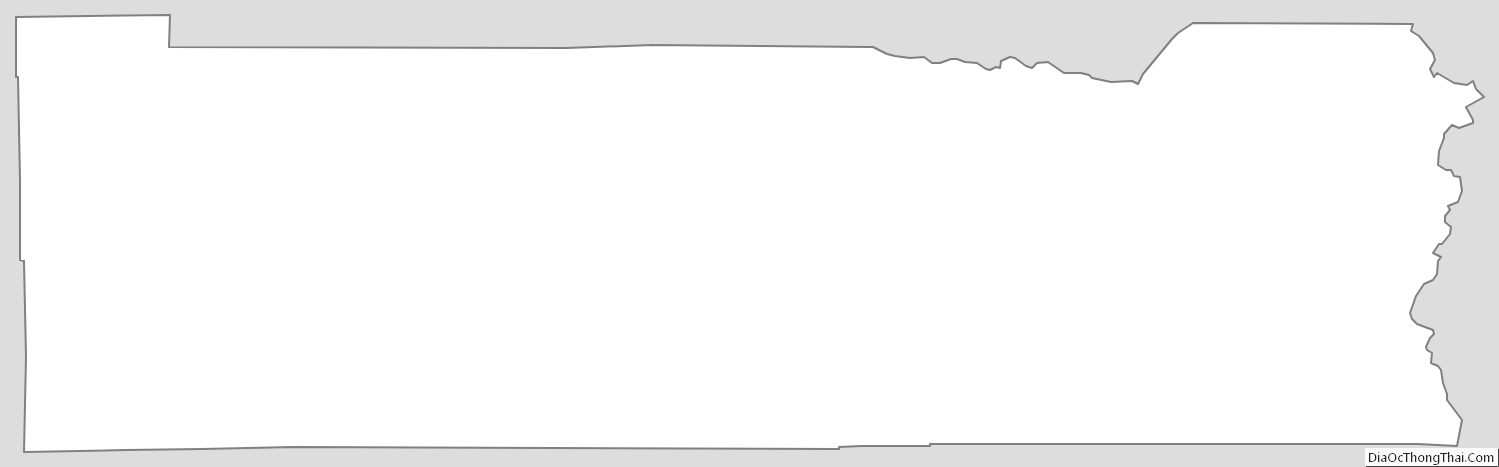
Lewis County Outline Map