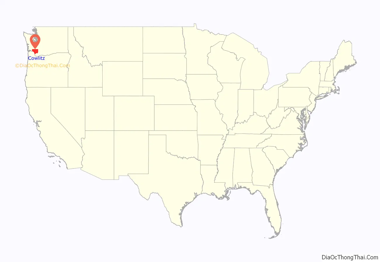
Cowlitz County is a county located in the U.S. state of Washington. As of the 2020 census, its population was 110,730. The county seat is Kelso, and its largest city is Longview. The county was formed in April 1854. Its name derives from the anglicized version of the Cowlitz Indian term Cow-e-liske, meaning either ‘river of shifting sands’ or ‘capturing the medicine spirit.’ Cowlitz comprises the Longview, WA Metropolitan statistical area, which is also included in the Portland–Vancouver–Salem, OR-WA Combined statistical area.
| Name: | Cowlitz County |
|---|---|
| FIPS code: | 53-015 |
| State: | Washington |
| Founded: | April 21, 1854 |
| Seat: | Kelso |
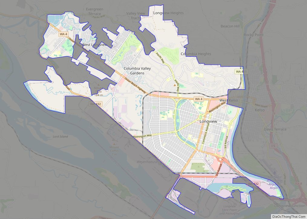
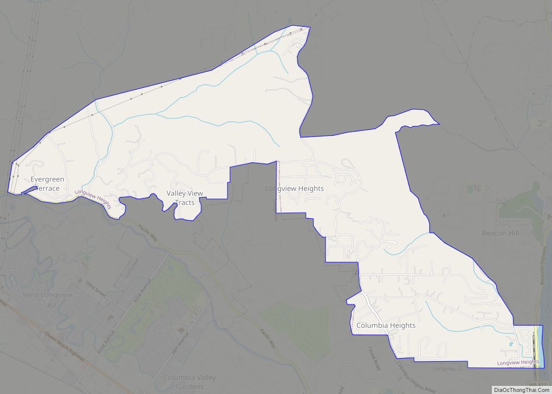
| Largest city: | Longview |
| Total Area: | 1,166 sq mi (3,020 km²) |
| Land Area: | 1,140 sq mi (3,000 km²) |
| Total Population: | 110,730 |
| Population Density: | 95/sq mi (37/km²) |
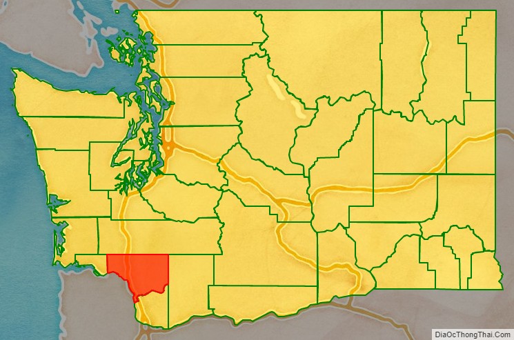
Cowlitz County location map. Where is Cowlitz County?
History
Prior to the Europeans’ arrival to the area, it was inhabited by numerous Native American tribes, with the Cowlitz tribe being the largest. They were drawn to the region by the abundance of salmon. The Cowlitz are considered to be the first regional inhabitants to engage in commerce as they traded extensively with other tribes in Western and Eastern Washington. The Cowlitz Indian population declined significantly from the 1829-1830 smallpox outbreak.
European explorers discovered and began navigating the Columbia River in 1792 as British Lieutenant W. R. Broughton sailed up the river to and past present day Cowlitz County. Then on November 5, 1805, Lewis and Clark camped at the mouth of the Kalama River. Over the following days, they would reach the present sites of Kelso and Longview.
By the 1820s, the Hudson’s Bay Company had established a lucrative fur trade in the region. Furs were shipped down the Cowlitz River to the Columbia where they were loaded and shipped around the world. Trade declined significantly in the late 1830s as over-hunting reduced the annual yields, and wearing fur had become less fashionable.
During the next several decades, white settlement of the region was in full swing. Most of the settlers homesteaded near the tributaries that fed the Columbia River, forming settlements. The first was Monticello, near present-day Longview. In 1841 several families with the HBC directed Sinclair expedition from Red River Colony settled there.
On November 25, 1852, at Monticello, settlers from the Cowlitz and Puget Sound regions drafted a petition (the Monticello Convention) to the federal government, calling for a separate territory north of the Columbia River to be carved out of the existing Oregon Territory. The petition was successful; three months later the United States Congress formed the Columbia Territory, although it was soon renamed Washington Territory.
The newly separated territory was governed by two existing counties. In August 1845, the Oregon Territorial government had created Vancouver County. Its boundary covered the entire area of present-day Washington state. In December of that same year, the Oregon Territorial government sliced off the eastern portion to create Lewis County. In 1849 the reduced Vancouver County was renamed Clark County. So when the new Washington Territorial government began functioning, among its first actions was the creation of Cowlitz County, from the southwestern portion of Clark County. This proclamation was finalized on April 24, 1854, signed into law by Governor Isaac Stevens. Later in 1854, the western portion of the new county was partitioned off to form Wahkiakum County; otherwise the county’s boundary has remained unchanged until the present.
Nearly every town that sprang up in the late 19th century began around a logging or lumber-milling operation. In the latter half of the 1920s, the Weyerhaeuser Company and Long-Bell Lumber Company established processing facilities. At the time, these two facilities were the first and second largest in the world. The county is still heavily dependent on the timber industry.
Four towns have functioned as the Cowlitz County seat:
- Monticello (1854–1865)
- Freeport (1865–1872)
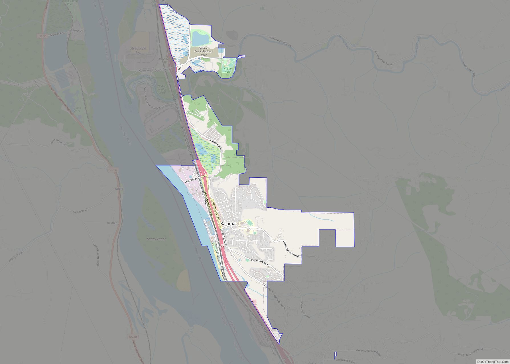
- Kalama (1872–1922)
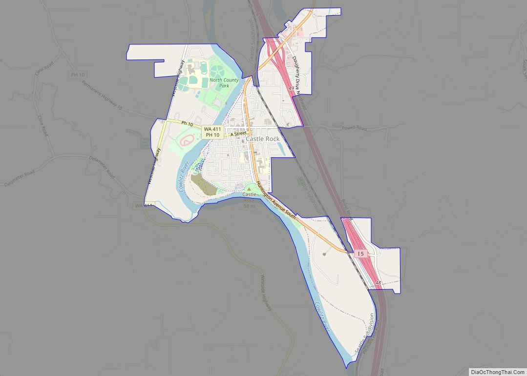
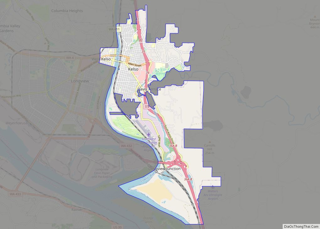
- Kelso (1922–Present)
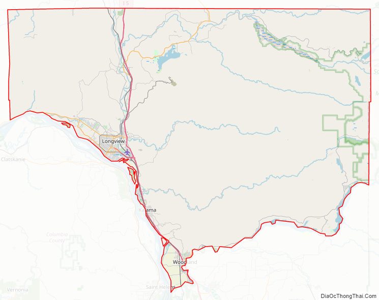
Cowlitz County Road Map
Geography
Cowlitz County is in the southwestern part of Washington state. According to the U.S. Census Bureau, the county has a total area of 1,166 square miles (3,020 km), of which 1,140 square miles (3,000 km) is land and 26 square miles (67 km) (2.2%) is water.
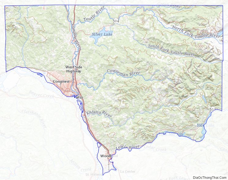
Cowlitz County is part of the Puget Sound – Willamette Depression, a geologic formation extending southward from the Puget Sound to the Willamette Valley in Oregon. Nestled against the Cascade Mountains, many of the county’s major rivers originate in this range, including the Columbia, Cowlitz, Coweeman, Kalama, Lewis and Toutle.
Cowlitz County is one of the state’s smaller counties (28 of 39).
Geographic features
- Cascade Mountains
- Columbia River
- Cowlitz River
Major highways
- Interstate 5
- State Route 4
- State Route 411
- State Route 432
- State Route 503
- State Route 504
Adjacent counties
- Lewis County – north
- Skamania County – east
- Clark County – south
- Wahkiakum County – west
- Columbia County – south
National protected areas
- Gifford Pinchot National Forest (part)
- Mount St. Helens National Volcanic Monument (part)
County parks
- Catlin Cemetery
- Cougar Wayside
- Finn Hall Wayside
- Harry Gardner Park
- Hog Island Access
- Riverside Park
- SRS Viewpoint
- Woodbrook Park
Cowlitz County Topographic Map
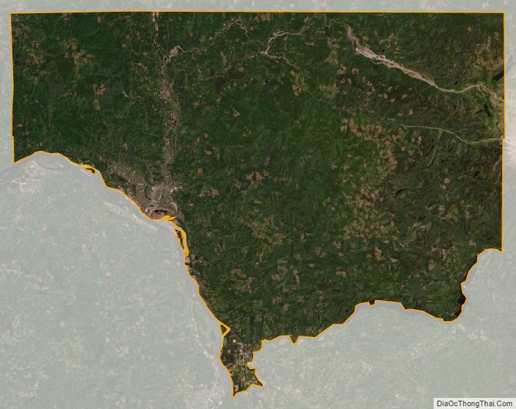
Cowlitz County Satellite Map
Cowlitz County Outline Map