Chehalis (/ʃəˈheɪlɪs/ (listen) shə-HAY-lis) is a city in and the county seat of Lewis County, Washington. The population was 7,439 at the time of the 2020 census.
Incorporated in 1883, Chehalis was primarily a logging and railroad town, with a shift towards farming in the mid-20th century. The city has bolstered its economy in the 21st century with a focus in manufacturing and warehousing. The city has several distinct historical areas and boasts 11 locations on the list of National Register of Historic Places, more than any other region in Lewis County.
| Name: | Chehalis city |
|---|---|
| LSAD Code: | 25 |
| LSAD Description: | city (suffix) |
| State: | Washington |
| County: | Lewis County |
| Elevation: | 243 ft (74 m) |
| Total Area: | 5.88 sq mi (15.23 km²) |
| Land Area: | 5.81 sq mi (15.04 km²) |
| Water Area: | 0.07 sq mi (0.19 km²) |
| Total Population: | 7,439 |
| Population Density: | 1,280.38/sq mi (488.44/km²) |
| ZIP code: | 98532 |
| Area code: | 360 |
| FIPS code: | 5311475 |
| GNISfeature ID: | 1503929 |
| Website: | Ci.Chehalis.WA.US |
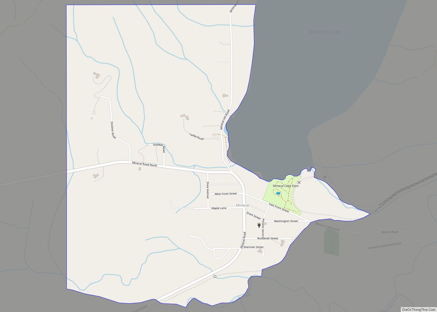
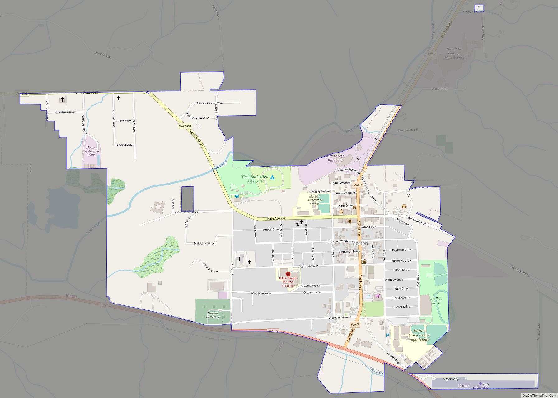
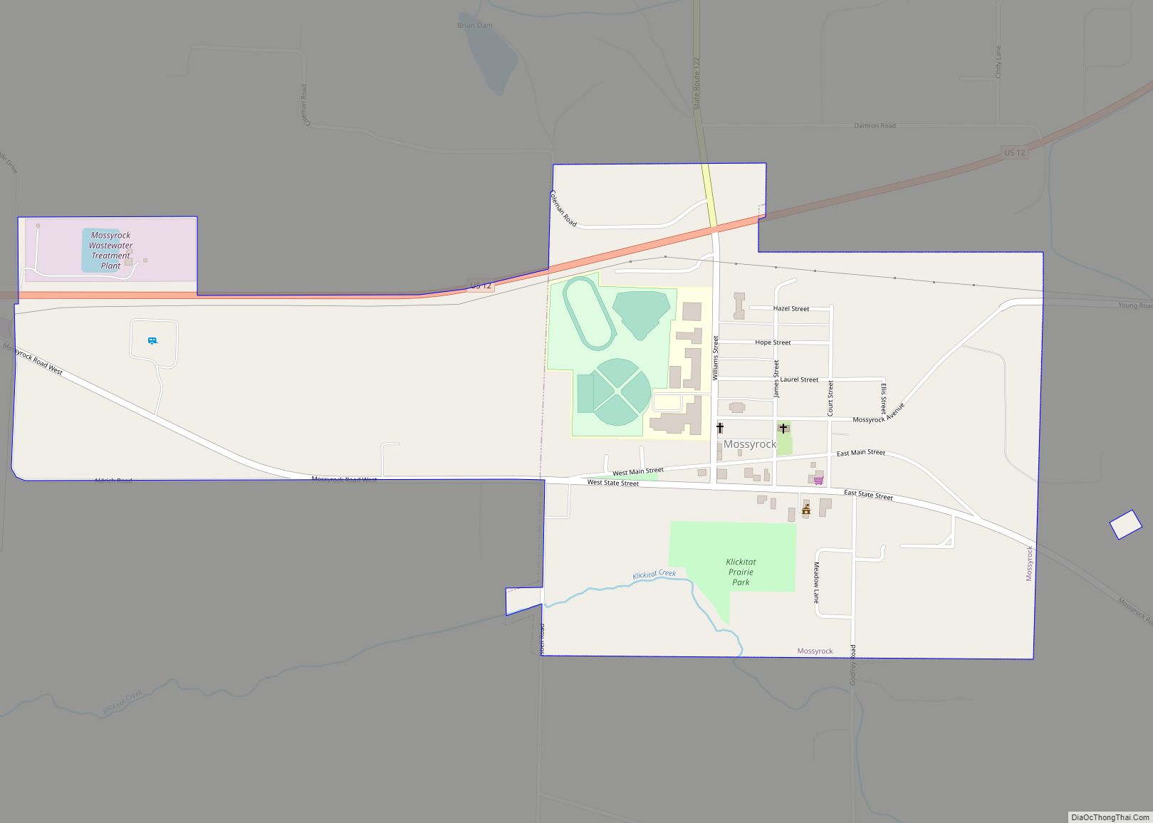
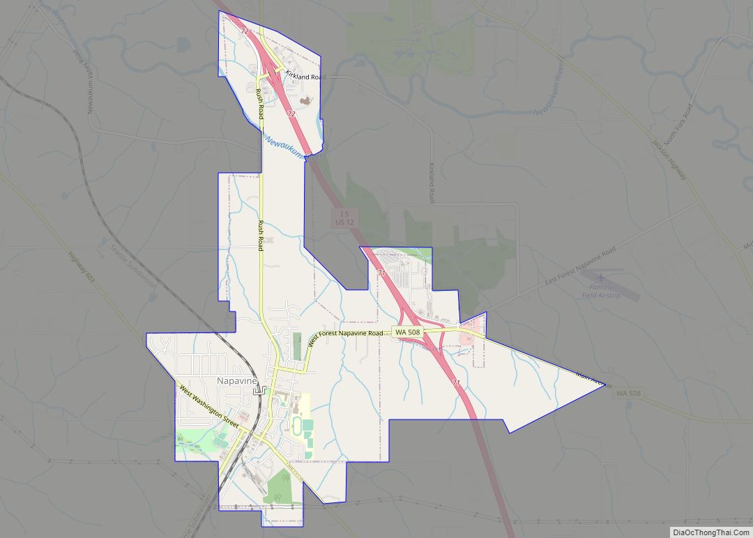
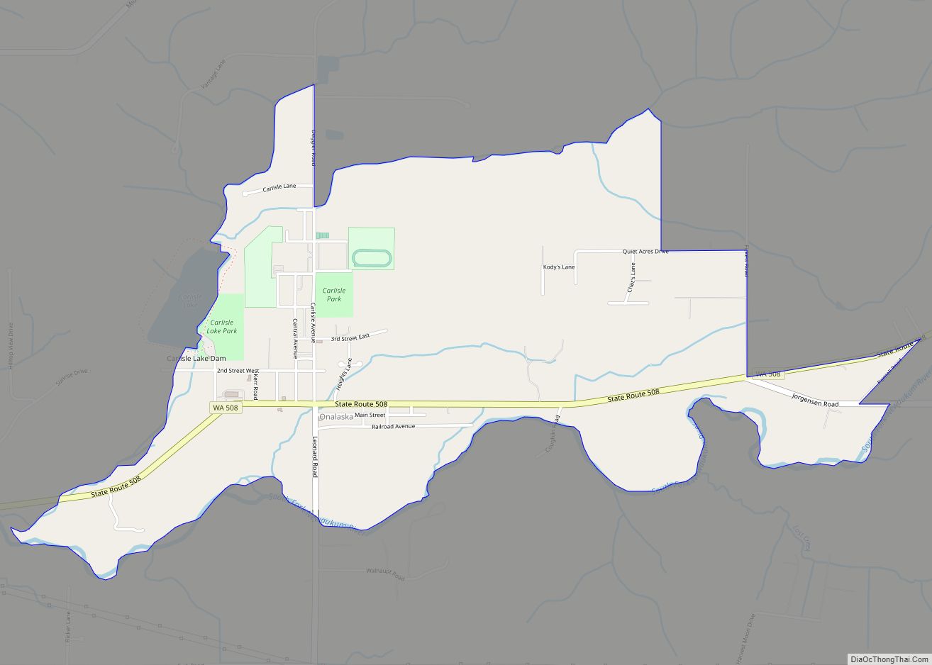
Online Interactive Map
Click on ![]() to view map in "full screen" mode.
to view map in "full screen" mode.
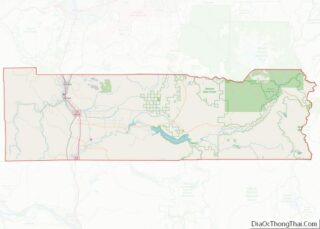
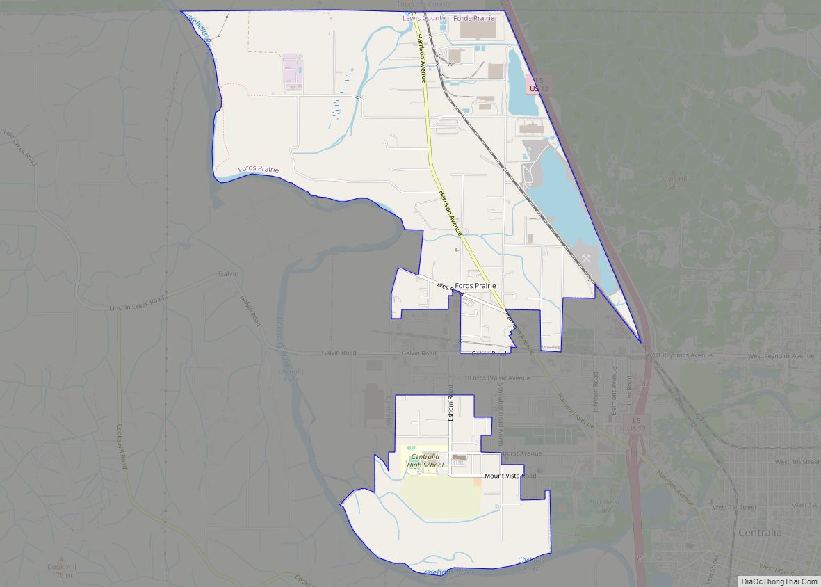
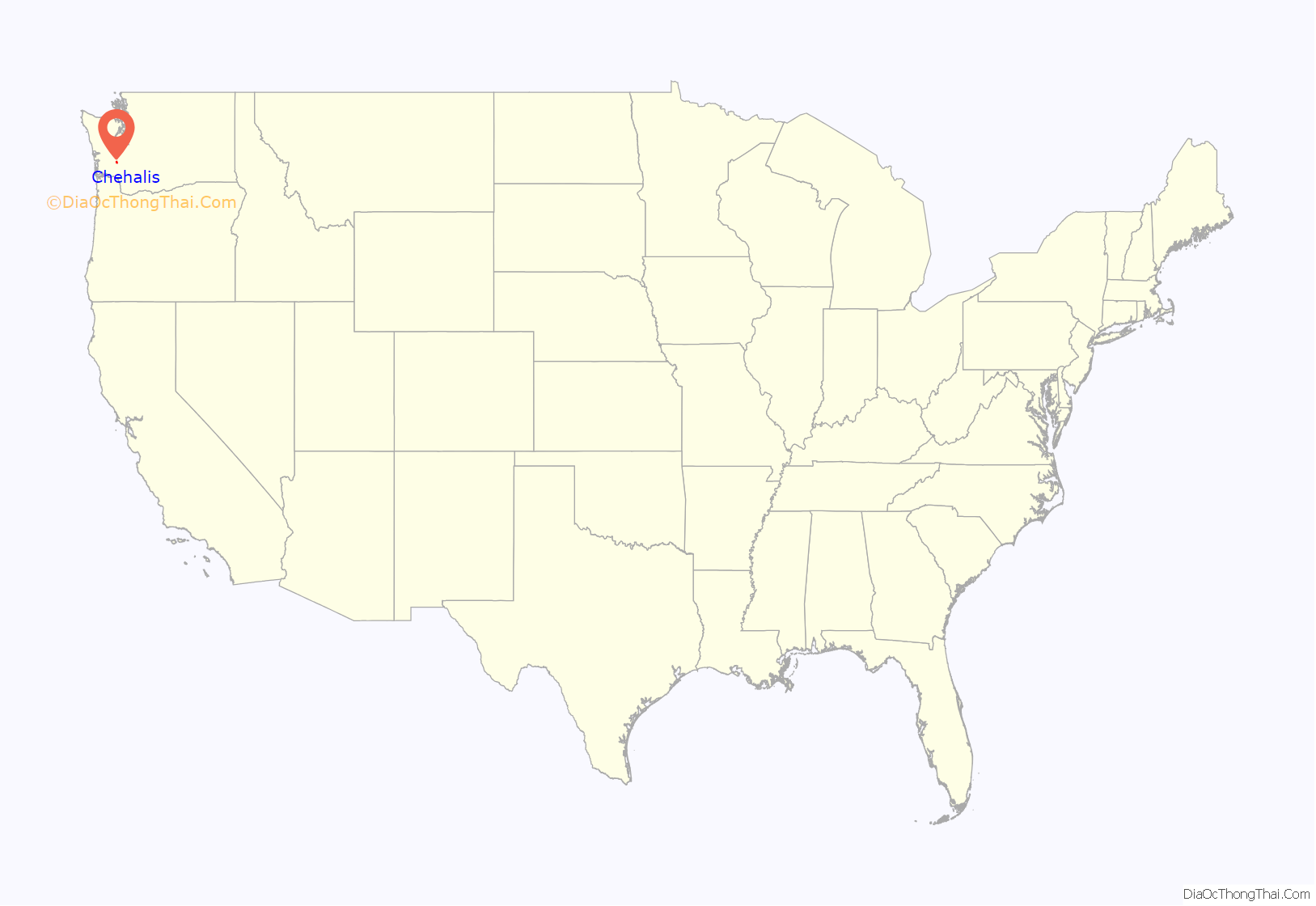
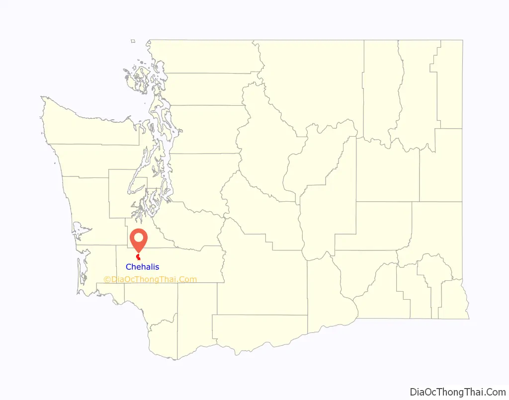
Chehalis location map. Where is Chehalis city?
History
Chehalis began as a settlement around a warehouse beside a railroad track in 1873, when the Northern Pacific Railroad built northward from Kalama to Tacoma. Northern Pacific’s decision bypassed the town of Claquato, then the county seat. This allowed Chehalis, in 1874, to become the central location for Lewis County government. That same year, a store was added to the warehouse, and a courthouse and several houses were constructed. Chehalis was incorporated on November 23, 1883.
Logging soon began in the nearby forests. Lumber workers of Scandinavian, English, and Scots-Irish descent arrived and settled in the neighboring valleys. In 1940, the chief local industries were: dairying, poultry raising, fruit growing, milk condensing, fruit and vegetable packing, brick and tile manufacturing, coal mining, portable house manufacturing, and fern shipping.
A vessel in the United States Navy, the gunboat USS Chehalis (PGM-94), was named in honor of the city.
Claquato
Begun as a settlement in 1853 by Lewis Hawkins Davis, who originally named the area Davis Prairie, the town grew quickly to include Claquato Church, a cemetery, hotels, and several stores and was, for a time, the largest populated town between the Columbia River and Olympia. By 1858 the town would become the county seat for Lewis County until that designation was transferred to Chehalis in 1874.
Claquato is no longer a recognized town or municipality, and is considered a neighborhood outside the Chehalis city limits. While described as a ghost town as it was officially vacated in 1902, the area has been populated since its inception.
Translated from the Chehalis Native American language, Claquato means “high prairie” or “high land”.
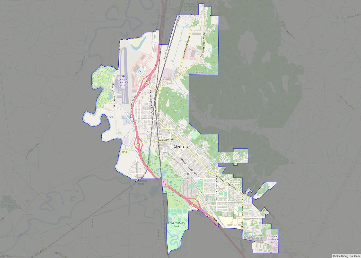
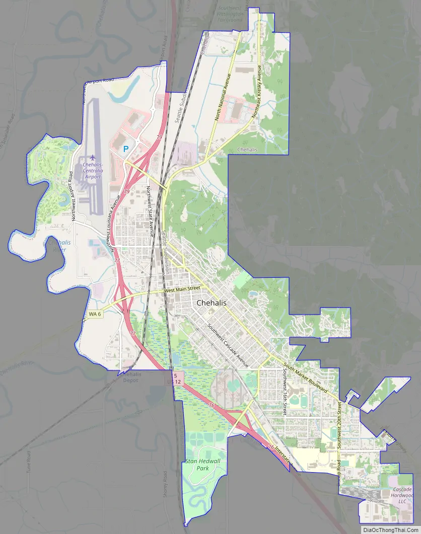
Chehalis Road Map
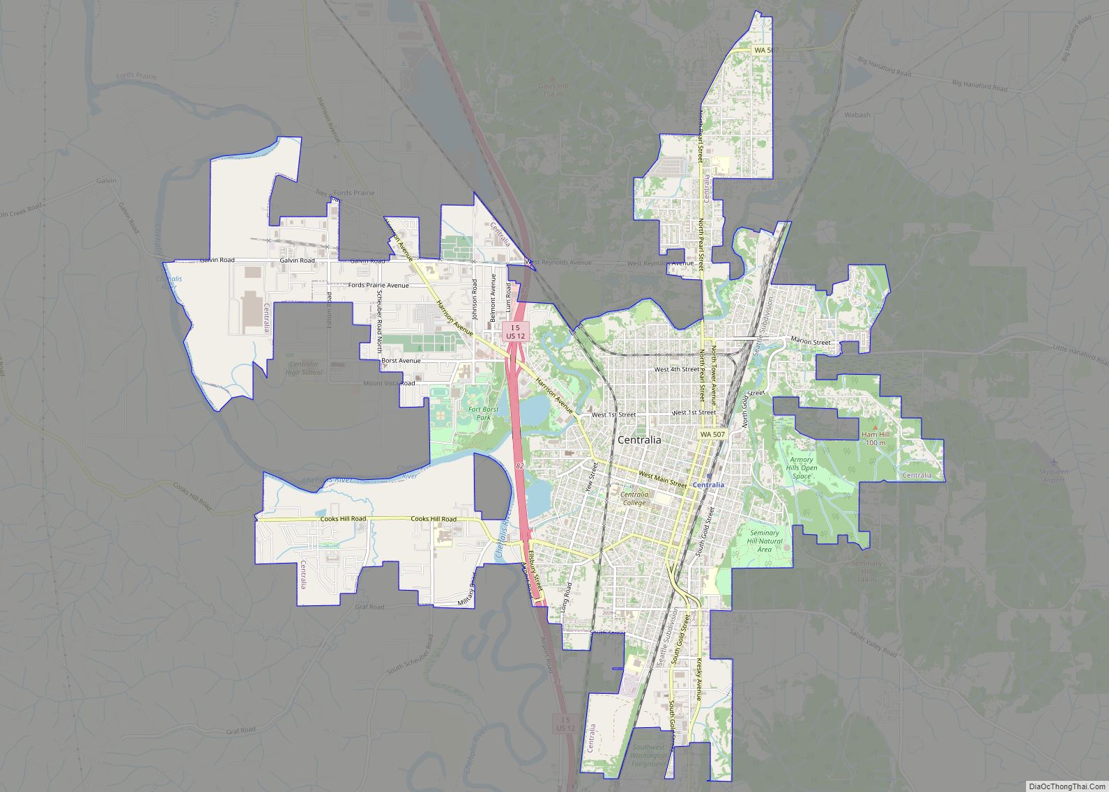
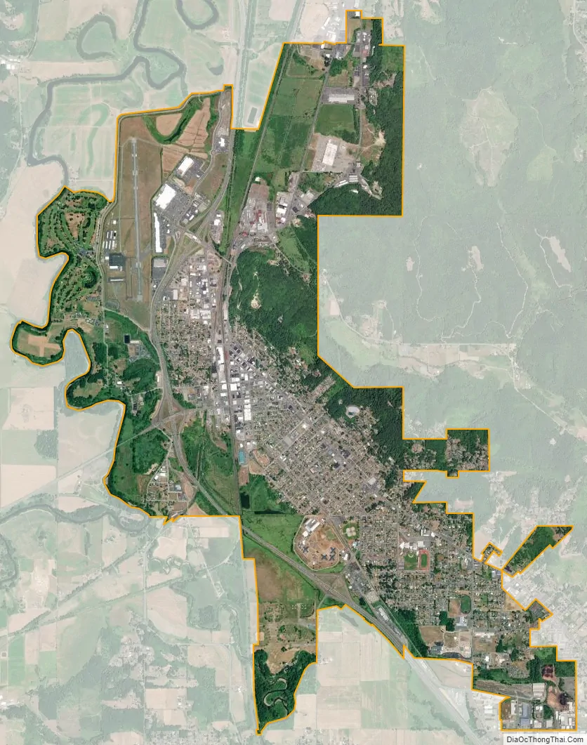
Chehalis city Satellite Map
Geography
According to the U.S. Census Bureau, the city has a total area of 5.55 square miles (14.37 km), of which, 5.53 square miles (14.32 km) is land and 0.02 square miles (0.05 km) is water.
The city straddles Interstate 5 at a point almost exactly halfway between Seattle, Washington and Portland, Oregon. The historic downtown and most of the city’s amenities lie on the east side of the freeway, nestled at the base of a small range of forested hills. On the west side of the freeway are parks, farms, a few subdivisions developed in the hills to the west, and a centralized shopping district, the Twin City Town Center. The Chehalis–Centralia Airport is located immediately west of the freeway towards the northern end of the city. From numerous vantage points in the hills just west of town, one can see Mount Rainier, Mount Adams, and Mount St. Helens, depending on weather conditions.
The Chehalis River winds its way through the valley in which the city resides, and is joined by a tributary, the Newaukum River. This confluence of waters, along with the intersections of tributaries and railroads within Chehalis, helped the city become known as “The Maple Leaf City”. Both the Chehalis and Newaukum rivers are prone to flooding during periods of abnormally heavy or persistent rain, and the lowlands from the freeway westward are particularly susceptible to inundation. A variety of local groups, scientists, and government have organized a partnership called “The Chehalis Basin Strategy” to propose and research a combination of plans along the Chehalis River to mitigate flooding and to restore aquatic habitat for local Chinook salmon. The current proposal outlines several flood control reduction measures, including levee improvements at the local airport and a flood retention dam in Pe Ell.
Climate
This region experiences warm (but not hot) and dry summers, with no average monthly temperatures above 71.6 °F (22.0 °C). According to the Köppen Climate Classification system, Chehalis has a warm-summer Mediterranean climate, abbreviated “Csb” on climate maps.
The highest temperature ever recorded in the city was 107.0 °F (41.7 °C) in July 2009. Chehalis would match that record high on June 28, 2021, while surpassing other daily and monthly heat records for the month during the 2021 Western North America heat wave.
See also
Map of Washington State and its subdivision:- Adams
- Asotin
- Benton
- Chelan
- Clallam
- Clark
- Columbia
- Cowlitz
- Douglas
- Ferry
- Franklin
- Garfield
- Grant
- Grays Harbor
- Island
- Jefferson
- King
- Kitsap
- Kittitas
- Klickitat
- Lewis
- Lincoln
- Mason
- Okanogan
- Pacific
- Pend Oreille
- Pierce
- San Juan
- Skagit
- Skamania
- Snohomish
- Spokane
- Stevens
- Thurston
- Wahkiakum
- Walla Walla
- Whatcom
- Whitman
- Yakima
- Alabama
- Alaska
- Arizona
- Arkansas
- California
- Colorado
- Connecticut
- Delaware
- District of Columbia
- Florida
- Georgia
- Hawaii
- Idaho
- Illinois
- Indiana
- Iowa
- Kansas
- Kentucky
- Louisiana
- Maine
- Maryland
- Massachusetts
- Michigan
- Minnesota
- Mississippi
- Missouri
- Montana
- Nebraska
- Nevada
- New Hampshire
- New Jersey
- New Mexico
- New York
- North Carolina
- North Dakota
- Ohio
- Oklahoma
- Oregon
- Pennsylvania
- Rhode Island
- South Carolina
- South Dakota
- Tennessee
- Texas
- Utah
- Vermont
- Virginia
- Washington
- West Virginia
- Wisconsin
- Wyoming