Jackson County is a county located in the U.S. state of Florida, on its northwestern border with Alabama. As of the 2020 census, the population was 47,319. Its county seat is Marianna.
| Name: | Jackson County |
|---|---|
| FIPS code: | 12-063 |
| State: | Florida |
| Founded: | August 12, 1822 |
| Named for: | Andrew Jackson |
| Seat: | Marianna |
| Largest city: | Marianna |
| Total Area: | 955 sq mi (2,470 km²) |
| Land Area: | 918 sq mi (2,380 km²) |
| Total Population: | 47,319 |
| Population Density: | 52.6/sq mi (20.3/km²) |
| Time zone: | UTC−6 (Central) |
| Summer Time Zone (DST): | UTC−5 (CDT) |
| Website: | www.jacksoncountyfl.net |
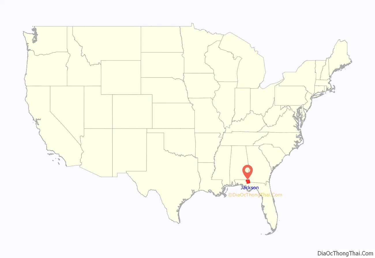
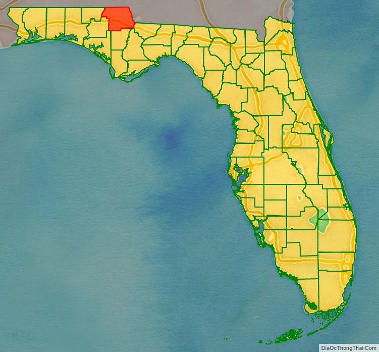
Jackson County location map. Where is Jackson County?
History
Jackson County was created by the Florida Territorial Council in 1822 out of Escambia County, at the same time that Duval County was organized from land of St. Johns County, making them the third and fourth counties in the Territory. The county was named for Andrew Jackson, a General of the War of 1812, who had served as Florida’s first military governor for six months in 1821. Jackson County originally extended from the Choctawhatchee River on the west to the Suwannee River on the east. By 1840 the county had been reduced close to its present boundaries through the creation of new counties from its original territory, following an increase of population in these areas. Minor adjustments to the county boundaries continued through most of the 19th century, however.
There were no towns in Jackson County when it was formed. The first county court met at what was called “Robinson’s Big Spring” (later called Blue Springs) in 1822 and then at the “Big Spring of the Choctawhatchee” in 1823. The following year the county court met at “Chipola Settlement”, which is also known as Waddell’s Mill Pond.
European Americans developed this area of Florida as part of the plantation belt in the antebellum years. Cotton was cultivated as a commodity crop by large workgangs of enslaved African Americans, and Florida became a slave society.
Gradually towns were developed. In January 1821, Webbville had been established as the first town in Jackson County. It was the first designated as the county seat. Marianna was founded in September 1821 by Robert Beveridge, a native of Scotland. It developed about 9 miles (14 km) southeast of Webbville. About 1828, Beveridge and other Marianna settlers went to Tallahassee to lobby the state legislature to move the county seat to Marianna.
They enticed the Florida Legislature with offers of free land, locally paying for construction of a county courthouse and development of a related public square, and donating an additional $500 to purchase a quarter section of land to be sold at public auction as a way to finance the new government, if the county seat was moved to Marianna. Beveridge and his supporters succeeded in their civic bribe. Marianna became the de facto county seat of the county justice and civil authority, although it was never officially proclaimed as such. Marianna began to grow and prosper when the county government moved into the new courthouse in 1829. It became the market and court town for the rural county.
Webbville’s prominent citizens moved to Marianna to follow the courts, as did numerous businesses. When the L&N Railroad decided to bypass putting a station at Webbville, the town declined further and became defunct.
Jackson County war
After the Civil War, the county was convulsed by violence as Confederate veterans and their allies attacked and intimidated freedmen and their sympathizers. The county faced the worst economic conditions in the state, as it had been most extensively developed for cotton plantations before the war, and was adversely affected by the international decline in the market. White planters resisted dealing with freedmen as free workers. Insurgent Confederate veterans formed a Ku Klux Klan chapter and carried out masked violence to exert power, intimidate freedmen and white sympathizers, suppress their voting, and restore white supremacy.
Planters were defaulting on tax payments due to the poor economic conditions, and Republican county officials began to sell thousands of acres in tax sales. In addition the two representatives of the Freedmen’s Bureau, Charles Memorial Hamilton and William J. Purman, worked to break the cycle of black labor exploitation. Planters would throw sharecroppers off the land at the end of the season with no payment, claiming infractions that the Bureau deemed minor. The Bureau agents worked to enforce labor contracts.
Tensions broke out into violence and in 1869 Jackson County became the center of a guerrilla war extending through 1871; it became known as the Jackson County War. The local Ku Klux Klan, insurgent Confederate Army veterans, directed their violence at eradicating the Republican Party in the county, assassinating more than 150 Republican Party leaders and other prominent African Americans as part of a successful campaign to retain white Democratic power in the county. Another source says that in Jackson County, 200 “leading Republicans” were assassinated in 1869 and 1870 alone; no one was arrested or brought to trial for these crimes.
In 1871 he resigned, saying given the “lawlessness”, he could not carry out the duties of sheriff. The last Republican official in the county, clerk of the circuit court John Dickenson, was assassinated in 1871. (The previous clerk, Dr. John Finlayson, was killed in 1869.)
In testimony to Congressional hearings about the KKK, state senator Charles H. Pearce, minister of the African Methodist Episcopal Church, said, “Satan has his seat; he reigns in Jackson County.”
Post-Reconstruction era to present
Violence by whites against blacks in the county continued after Reconstruction. Nine African Americans were lynched here after Reconstruction, most around the turn of the century. But notorious lynchings of individual men also took place later.
In 1934, Claude Neal, an African-American suspect in the murder of a young white woman, was tortured, shot and hanged in a spectacle lynching that was announced beforehand on the radio and in a local paper. It was covered by national newspapers, arousing condemnation. In addition, Neal’s lynching was followed by a white riot in Marianna, in which whites attacked the black section of town and blacks on the street, injuring 200, including two police officers, and causing much property damage. Howard Kester, a prominent Southern evangelical minister who tried to improve conditions, assessed the economic and class issues related to the racial violence. In 1943 the last lynching in the county was conducted. Cellos Harrison, an African-American man, had been twice convicted by an all-white jury and sentenced to death. He was taken from the county jail in Marianna by a white mob and hanged while his case was being appealed.
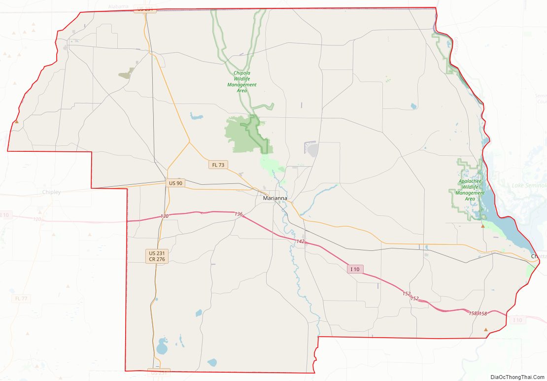
Jackson County Road Map
Geography
According to the U.S. Census Bureau, the county has a total area of 955 square miles (2,470 km), of which 918 square miles (2,380 km) is land and 37 square miles (96 km) (3.9%) is water. Jackson County is the only county in Florida that borders both Georgia and Alabama. Jackson County is in the Central Standard Time Zone. Its eastern border with Gadsden County forms the boundary in this area between the Central Standard and Eastern Standard Time Zones.
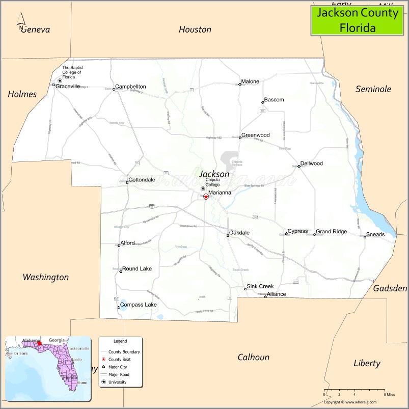
Adjacent counties
- Seminole County, Georgia – east (EST)
- Gadsden County, Florida – southeast (EST)
- Liberty County, Florida – southeast (EST)
- Calhoun County, Florida – south
- Washington County, Florida – southwest
- Bay County, Florida – southwest
- Holmes County, Florida – west
- Geneva County, Alabama – northwest
- Houston County, Alabama – north
Rivers and water bodies
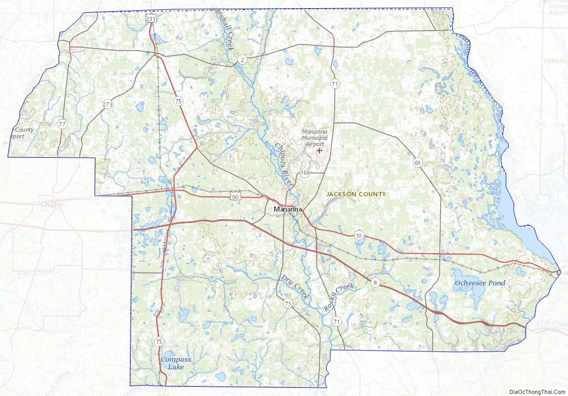
Three water bodies form the eastern border of Jackson county. The Chattahoochee River forms the northeast boundary between Jackson County and Seminole County, Georgia. It flows into Lake Seminole. The Lake was formed by the Jim Woodruff Dam which was completed in 1952. The outflow at the dam becomes the Apalachicola River which is the eastern boundary of Jackson county with Gadsden county.
The Chipola River is formed in north central Jackson county from the confluences of Black Creek and Cowarts Creek. It continues south through the county and becomes a part of the border between Jackson county and the west side of the northern section of Calhoun county.
Holmes Creek forms the northern portion of the western border of Jackson county with Holmes County.
Blue Springs is a Jackson county recreation area east of Marianna located near the site of former Florida Governor John Milton’s Sylvania plantation.
Two other notable water bodies in the county are Compass Lake in the southwest and Ocheesee Pond in the southeast.
Florida State Parks in Jackson county
- Florida Caverns State Park is on the Chipola river. At Blue Hole Springs the river disappears underground for a few thousand feet and then resurfaces.
- Three Rivers State Park is located north of Sneads. It is at the junction of the Chattahoochee and the Flint (which flow into Lake Seminole from Georgia), and the Apalachicola which begins at the Lake Seminole Dam.
Jackson County Topographic Map
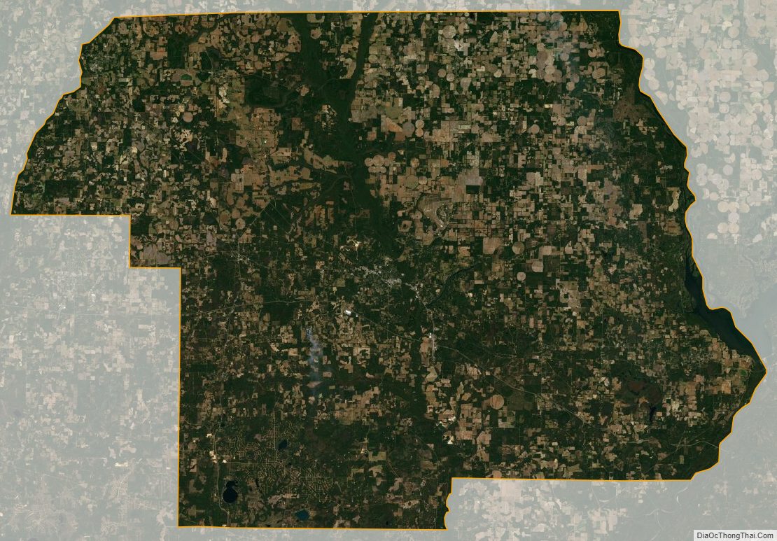
Jackson County Satellite Map
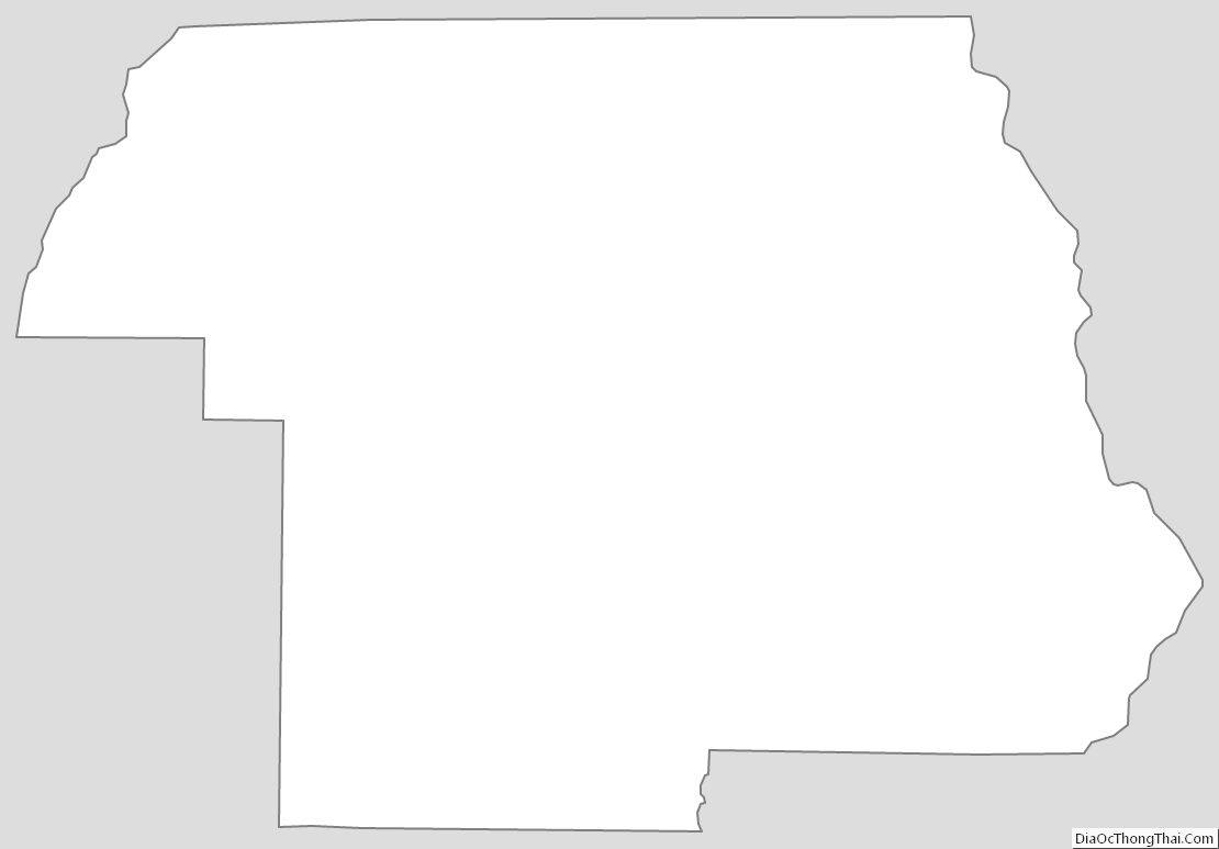
Jackson County Outline Map