Calhoun County is a county located in the U.S. state of Florida. As of the 2020 census, the population was 13,648, making it the fifth-least populous county in Florida. Its county seat is Blountstown.
| Name: | Calhoun County |
|---|---|
| FIPS code: | 12-013 |
| State: | Florida |
| Founded: | January 26, 1838 |
| Named for: | John C. Calhoun |
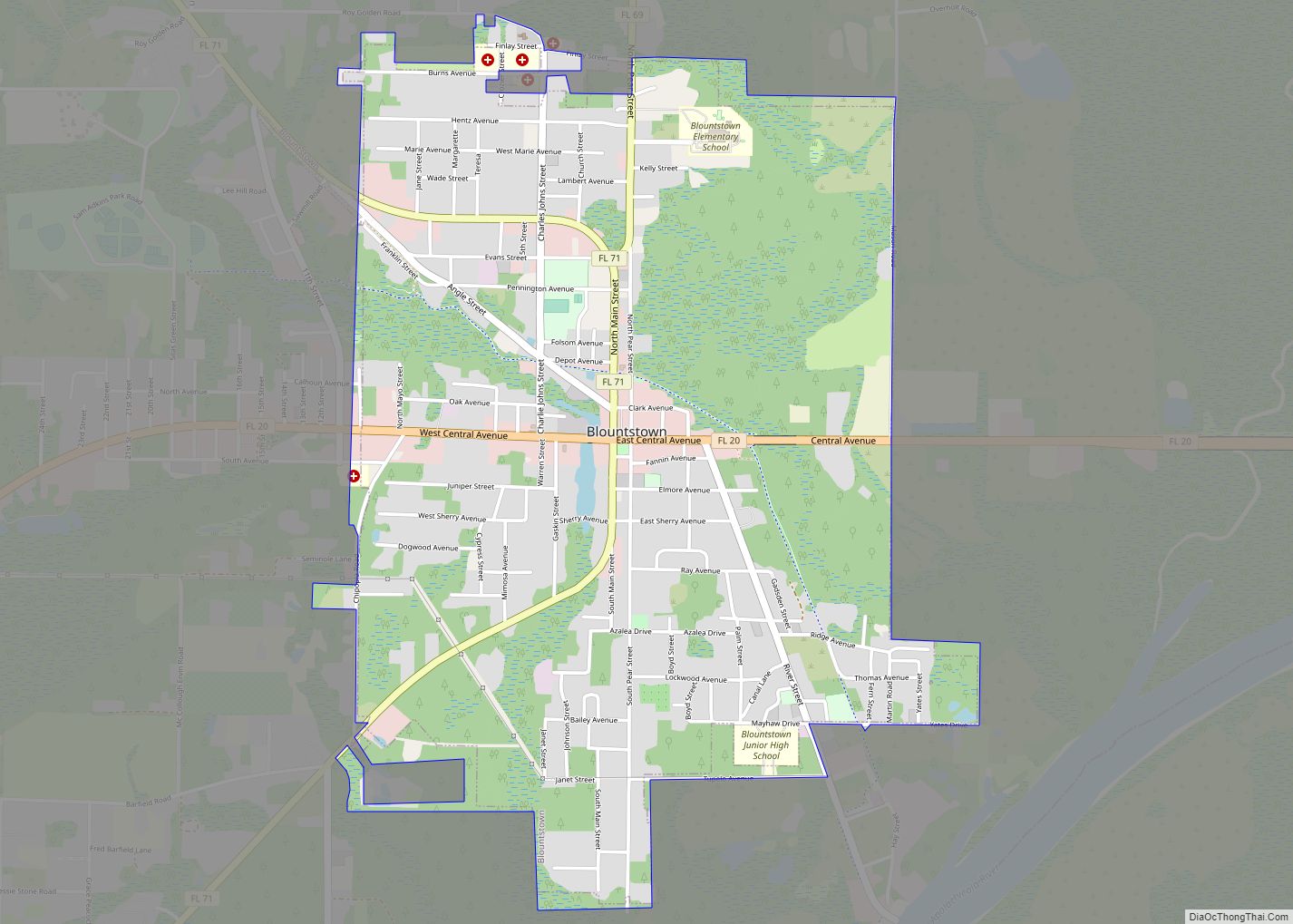
| Seat: | Blountstown |
| Largest city: | Blountstown |
| Total Area: | 574 sq mi (1,490 km²) |
| Land Area: | 567 sq mi (1,470 km²) |
| Total Population: | 13,648 |
| Population Density: | 25.5/sq mi (9.8/km²) |
| Time zone: | UTC−6 (Central) |
| Summer Time Zone (DST): | UTC−5 (CDT) |
| Website: | calhouncountygov.com |
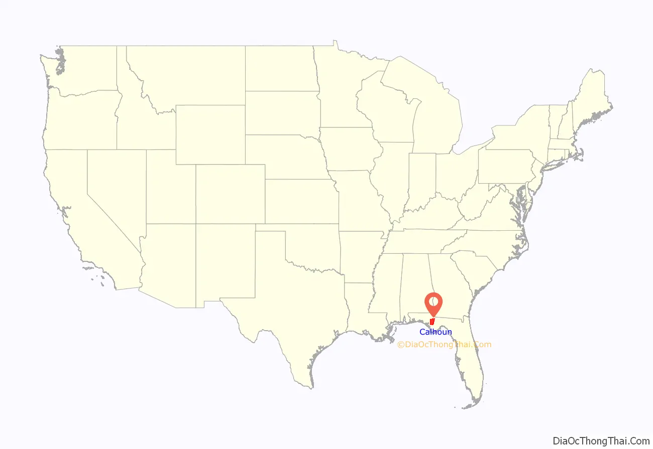
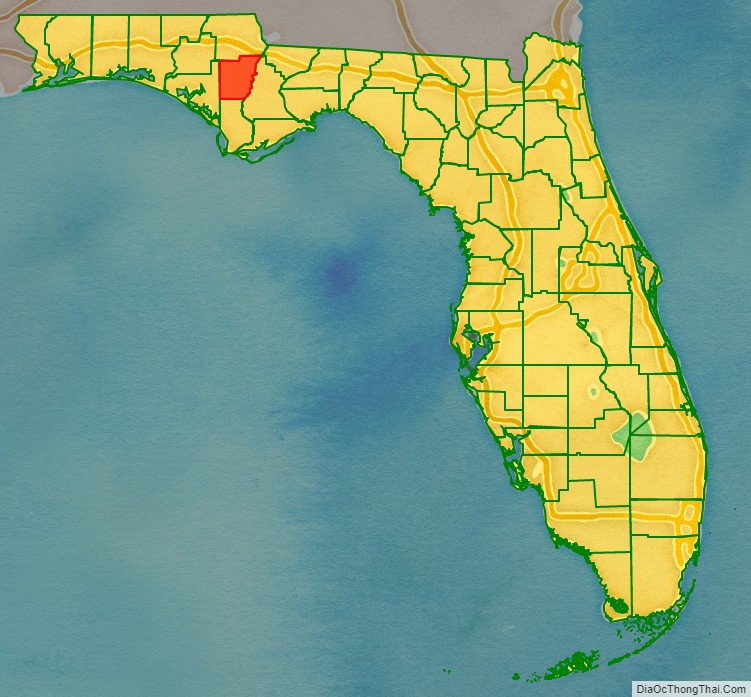
Calhoun County location map. Where is Calhoun County?
History
Calhoun County was created in 1838. It was named for John C. Calhoun, member of the United States Senate from South Carolina and the seventh U.S. vice president, serving under John Quincy Adams and Andrew Jackson. The County was originally located between St. Joseph Bay and the Apalachicola River, with the county seat at St. Joseph (which was abandoned by 1844 due to a yellow fever epidemic and hurricanes).
In the late 1850s, there was a violent feud between the local Durden family and another anti-Durden group. This feud escalated and there was a breakdown of the law, with roaming gangs and a “pitched battle” at the courthouse square in Blountstown. The violence got so bad that the county judge had to call in aid from the Fifth Florida Militia Regiment, which deployed 150 militiamen to breakup the outlaw bands.
The county was later expanded to the north with territory from Jackson and Washington counties. In 1913, part of Calhoun County was transferred to the new Bay County. In 1925, the southern part of Calhoun County was separated as the new Gulf County, which included the territory that had formed the original Calhoun County.
In 1930, a federal employee shot the County Sheriff over a dispute of unknown origin.
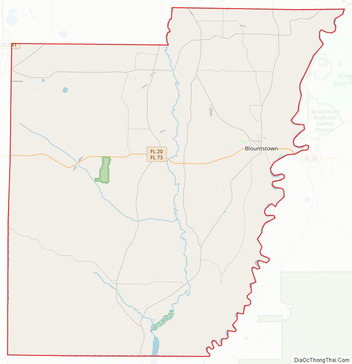
Calhoun County Road Map
Geography
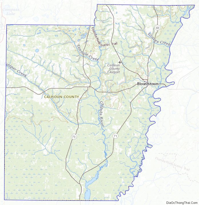
According to the U.S. Census Bureau, the county has a total area of 574 square miles (1,490 km), of which 567 square miles (1,470 km) is land and 7.0 square miles (18 km) (1.2%) is water. The county is bounded on the east by the Apalachicola River and is bisected by the Chipola River, site of Look and Tremble.
Unincorporated areas
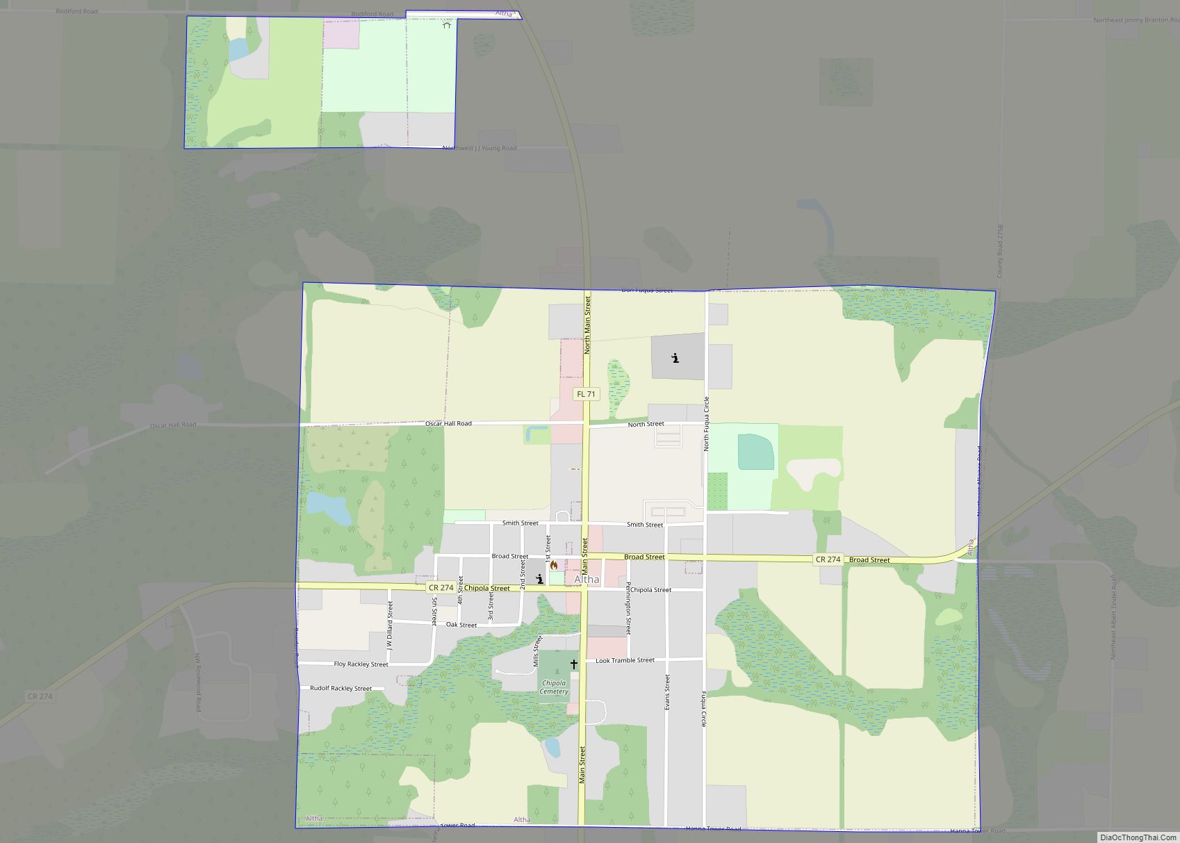
Among the unincorporated settlements are Broad Branch, Chipola, Clarksville, Chason, Durham, Fisher Corner, Flowers Still, Henderson Mill, Kinard, Leonards, New Hope, Rollins Corner, Selman, Sharptown, Summerville, and Willis.
Adjacent counties
- Jackson County, Florida – north
- Gadsden County, Florida – northeast (EST)
- Liberty County, Florida – east (EST)
- Gulf County, Florida – south (southern part of the county is in the EST)
- Bay County, Florida – west
Calhoun County Topographic Map
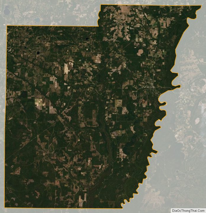
Calhoun County Satellite Map
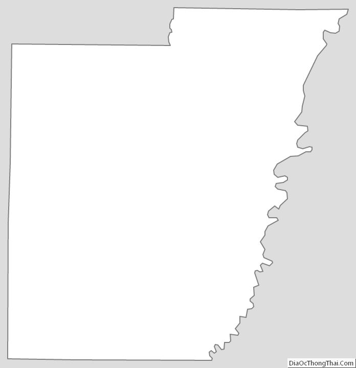
Calhoun County Outline Map