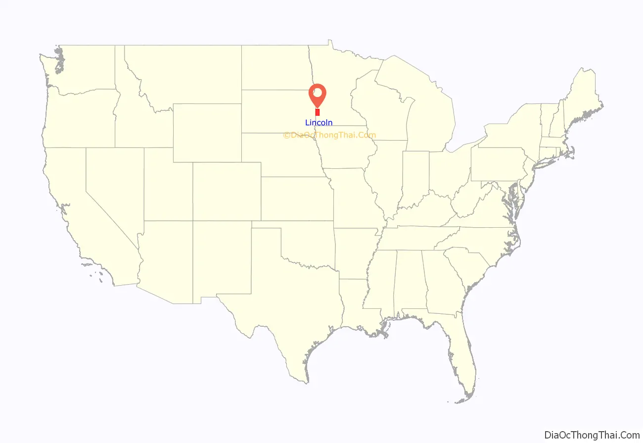
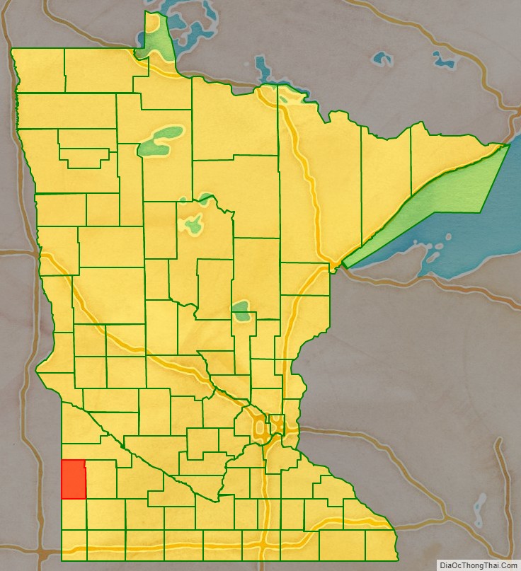
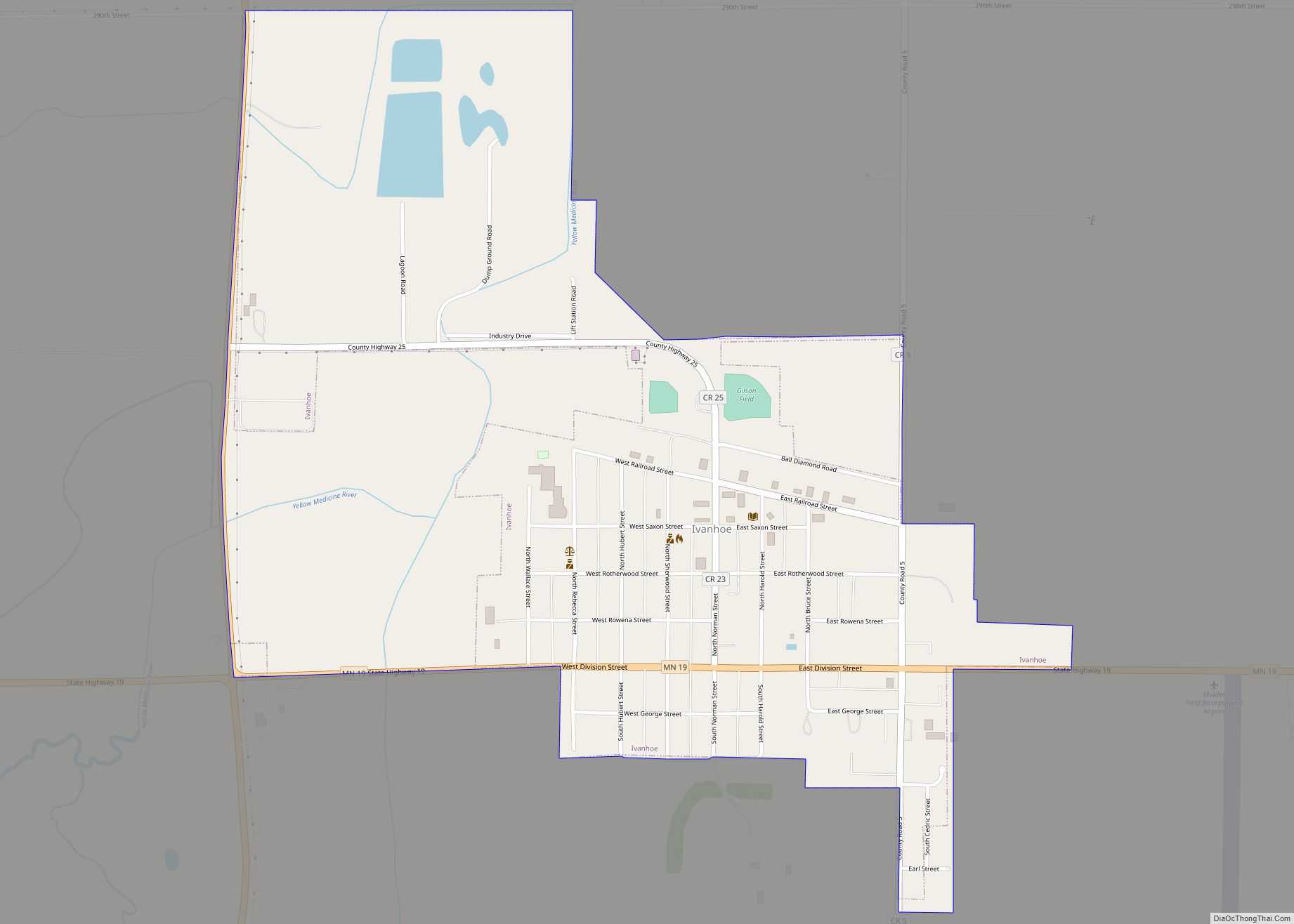
Lincoln County is a county in the U.S. state of Minnesota. As of the 2020 census, the population was 5,640. Its county seat is Ivanhoe.
| Name: | Lincoln County |
|---|---|
| FIPS code: | 27-081 |
| State: | Minnesota |
| Founded: | March 6, 1873 |
| Named for: | Abraham Lincoln |
| Seat: | Ivanhoe |
| Largest city: | Tyler |
| Total Area: | 548 sq mi (1,420 km²) |
| Land Area: | 537 sq mi (1,390 km²) |
| Total Population: | 5,640 |
| Population Density: | 10.5/sq mi (4.1/km²) |
| Time zone: | UTC−6 (Central) |
| Summer Time Zone (DST): | UTC−5 (CDT) |
| Website: | www.co.lincoln.mn.us |
Lincoln County location map. Where is Lincoln County?
History
During and after the American Civil War, the Minnesota legislature wanted to name a county after President Abraham Lincoln. Acts were proposed to effect this change in 1861, in 1866, and in 1870, but each time the effort failed by vote or was ignored by the county’s citizens. The final effort was an act passed on March 6, 1873, dividing Lyon County into approximately equal halves, with the western half to be named Lincoln. The county voters approved this act in the November 1873 election, and Governor Horace Austin proclaimed the county’s existence on December 5, 1873, with Lake Benton as county seat. In 1900 a new town closer to the county’s center was platted, and in 1902 the county seat was moved to that settlement, Ivanhoe.
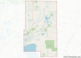
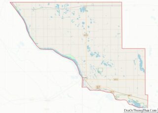
Lincoln County Road Map
Geography
Lincoln County lies on Minnesota’s border with South Dakota. The Lac qui Parle River flows northeast through the upper eastern part of the county on its way to discharge into the Minnesota River. The county’s terrain consists of rolling hills and is mostly devoted to agriculture. The terrain slopes to the north and east, with its highest point on its lower west border, at 1,991′ (607m) ASL. The county has an area of 548 square miles (1,420 km), of which 537 square miles (1,390 km) is land and 12 square miles (31 km) (2.1%) is water.
Lakes
- Ash Lake
- Curtis Lake
- Dead Coon Lake
- Drietz Lake
- Gislason Lake
- Hawks Nest Lake
- Lake Benton
- Lake Hendricks (part)
- Lake Shaokatan
- Lake Stay
- Oak Lake
- Perch Lake
- Steep Bank Lake
- Twin Lakes
- West Lake Stay
Major highways
- U.S. Highway 14
- U.S. Highway 75
- Minnesota State Highway 19
- Minnesota State Highway 23
- Minnesota State Highway 68
- Minnesota State Highway 271
Adjacent counties
- Deuel County, South Dakota – northwest
- Yellow Medicine County – north
- Lyon County – east
- Pipestone County – south
- Moody County, South Dakota – southwest
- Brookings County, South Dakota – west
Protected areas
- Altona State Wildlife Management Area (part)
- Ash Lake State Wildlife Management Area
- Blue Wing State Wildlife Management Area
- Bohemian State Wildlife Management Area (part)
- Chen-Bay State Wildlife Management Area
- Christine State Wildlife Management Area
- Collinson State Wildlife Management Area
- Dorer State Wildlife Management Area
- Emerald State Wildlife Management Area
- Expectation State Wildlife Management Area
- Hendricks State Wildlife Management Area
- Hole in the Mountain County Park
- Hope State Wildlife Management Area (part)
- Iron Horse State Wildlife Management Area
- Ivanhoe State Wildlife Management Area
- Johnson State Wildlife Management Area
- Kvermo State Wildlife Management Area
- Minn-Kota State Wildlife Management Area
- Northern Tallgrass Prairie National Wildlife Refuge
- Platyrhynchos State Wildlife Management Area
- Poposki State Wildlife Management Area
- Prairie Dell State Wildlife Management Area
- Shaokatan State Wildlife Management Area
- Sioux Lookout State Wildlife Management Area
- Sokota State Wildlife Management Area (part)
- Suhr State Wildlife Management Area
- Two Sloughs State Wildlife Management Area
