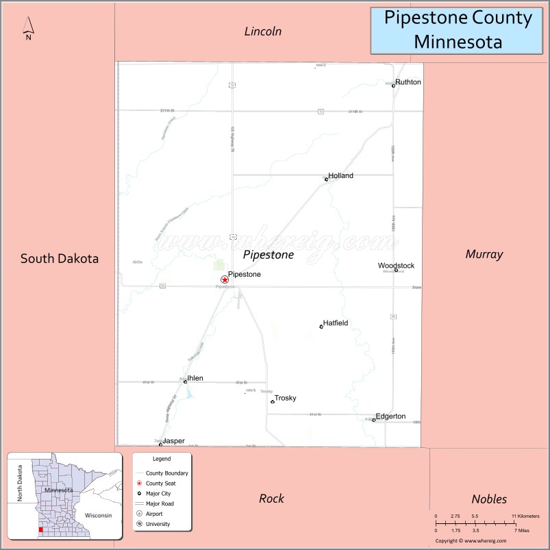
Pipestone County is a county in the U.S. state of Minnesota. As of the 2020 census, the population was 9,424. Its county seat is Pipestone.
| Name: | Pipestone County |
|---|---|
| FIPS code: | 27-117 |
| State: | Minnesota |
| Founded: | 1857 |
| Named for: | Pipestone |
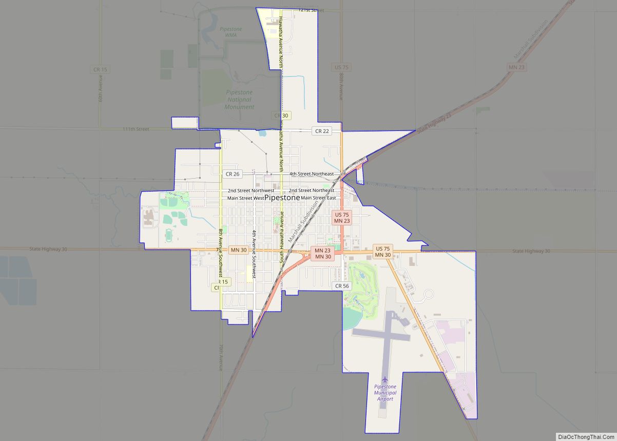
| Seat: | Pipestone |
| Largest city: | Pipestone |
| Total Area: | 466 sq mi (1,210 km²) |
| Land Area: | 465 sq mi (1,200 km²) |
| Total Population: | 9,424 |
| Population Density: | 20.3/sq mi (7.8/km²) |
| Time zone: | UTC−6 (Central) |
| Summer Time Zone (DST): | UTC−5 (CDT) |
| Website: | www.pipestone-county.com |
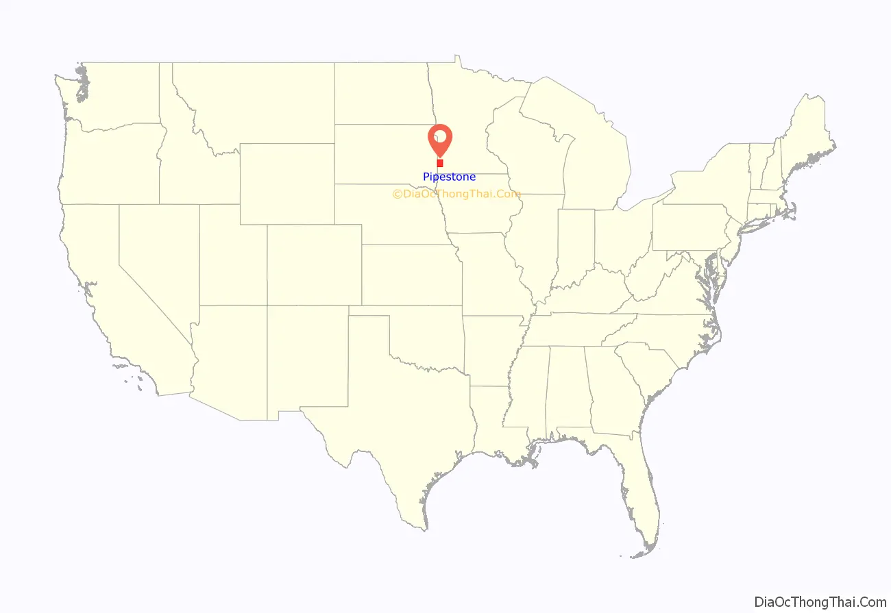
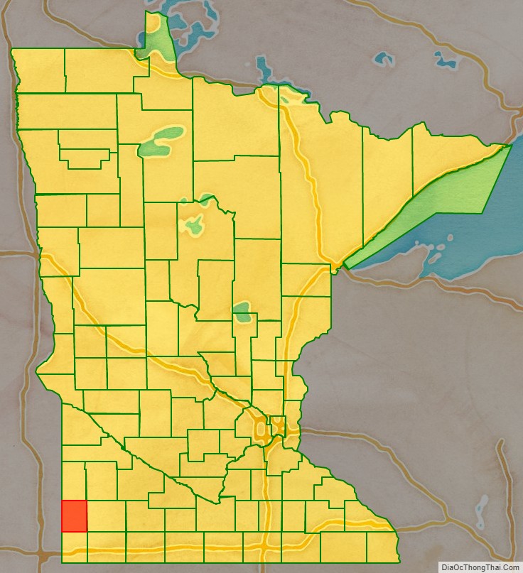
Pipestone County location map. Where is Pipestone County?
History
The county was formed on May 23, 1857, by act of the territorial legislature, but was not organized at that time. The area was first designated Rock County while the name Pipestone County was attached to neighboring Rock County. An act of the Minnesota state legislature on February 20, 1862, swapped the designations, attaching the present names to the present counties, due to the pipestone quarry in this county.
Pipestone County organization was effected by a state act on January 27, 1879, with Pipestone City (which had been platted in 1876) as the county seat (the name of the county seat was later shortened to Pipestone). The pipestones are from deposits of red pipestone Native Americans used to make pipes.
Pipestone National Monument is in the county, just north of the town of Pipestone.
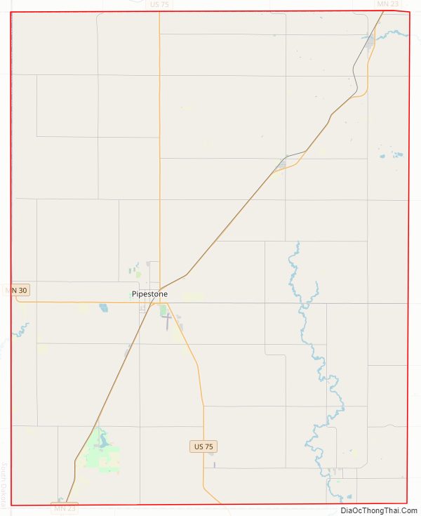
Pipestone County Road Map
Geography
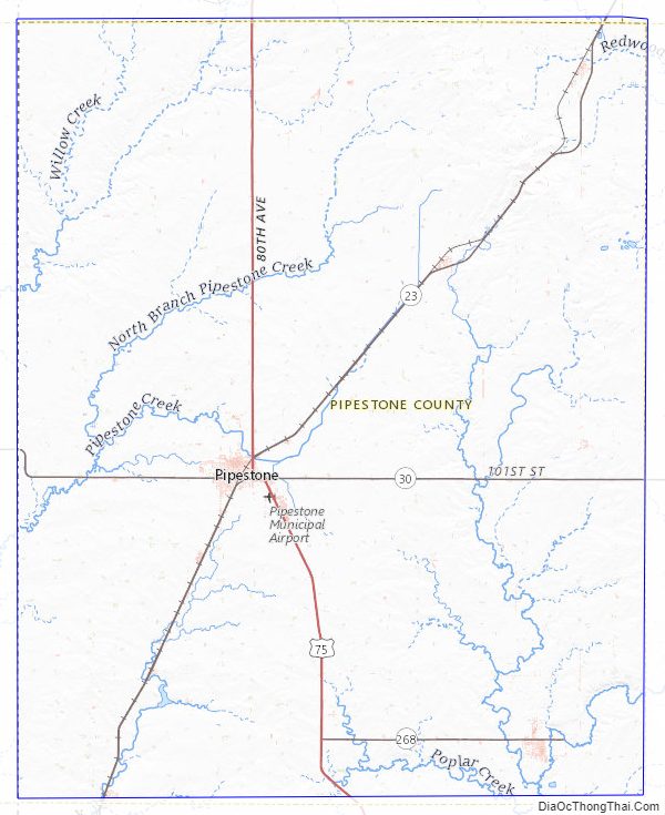
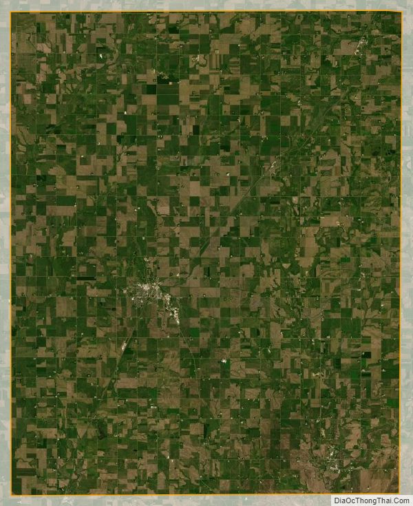
Pipestone County lies on Minnesota’s border with South Dakota. The Rock River rises in the county and flows southward into Rock County, being augmented by the East Branch of the Rock River near the southern border. The terrain consists of low rolling hills, carved by drainages. The area is devoted to agriculture. The terrain slopes to the west and south, with its highest point on the upper part of its eastern border, at 1,883′ (574m) ASL. The county has an area of 466 square miles (1,210 km), of which 465 square miles (1,200 km) is land and 0.9 square miles (2.3 km) (0.2%) is water.
The highest point in the eastern part of the county may be as stated but the highest summit is 1995 ft at 44.1927°, -96.2033°
Major highways
- U.S. Highway 75
- Minnesota State Highway 23
- Minnesota State Highway 30
- Minnesota State Highway 269
Adjacent counties
- Lincoln County – north
- Lyon County – northeast
- Murray County – east
- Rock County – south
- Minnehaha County, South Dakota – southwest
- Moody County, South Dakota – west
- Brookings County, South Dakota – northwest
Protected areas
- Altona State Wildlife Management Area
- Burke State Wildlife Management Area
- Holland State Wildlife Management Area
- Pheasant Terrace State Wildlife Management Area
- Pipestone Indian State Wildlife Management Area (within Pipestone Natl Monument)
- Pipestone National Monument
- Prairie Coteau Scientific and Natural Area
- Split Rock Creek State Park
- Troy State Wildlife Management Area
- Van Beek State Wildlife Management Area
- Woodstock State Wildlife Management Area
Lakes
Pipestone County is one of only four Minnesota counties without a natural lake, the other three being Mower, Olmsted and Rock. It does contain manmade reservoirs:
- Indian Lake
- Split Rock Lake: in Split Rock Creek State Park
Pipestone County Topographic Map
Pipestone County Satellite Map
Pipestone County Outline Map