Livingston County is a county located in the U.S. state of Illinois. According to the 2020 census, it has a population of 35,815. Its county seat is Pontiac. Livingston County comprises the Pontiac, IL Micropolitan Statistical Area, which is combined with the Bloomington–Normal metropolitan statistical area as the Bloomington-Pontiac, IL Combined Statistical Area.
| Name: | Livingston County |
|---|---|
| FIPS code: | 17-105 |
| State: | Illinois |
| Founded: | 1837 |
| Named for: | Edward Livingston |
| Seat: | Pontiac |
| Largest city: | Pontiac |
| Total Area: | 1,046 sq mi (2,710 km²) |
| Land Area: | 1,044 sq mi (2,700 km²) |
| Total Population: | 35,815 |
| Population Density: | 34/sq mi (13/km²) |
| Time zone: | UTC−6 (Central) |
| Summer Time Zone (DST): | UTC−5 (CDT) |
| Website: | www.livingstoncounty-il.org/wordpress/ |
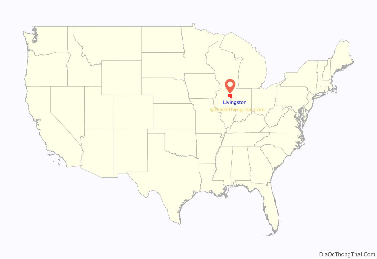
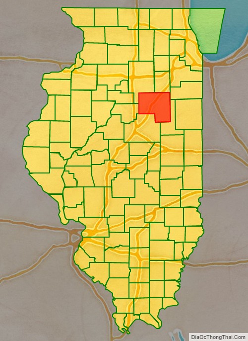
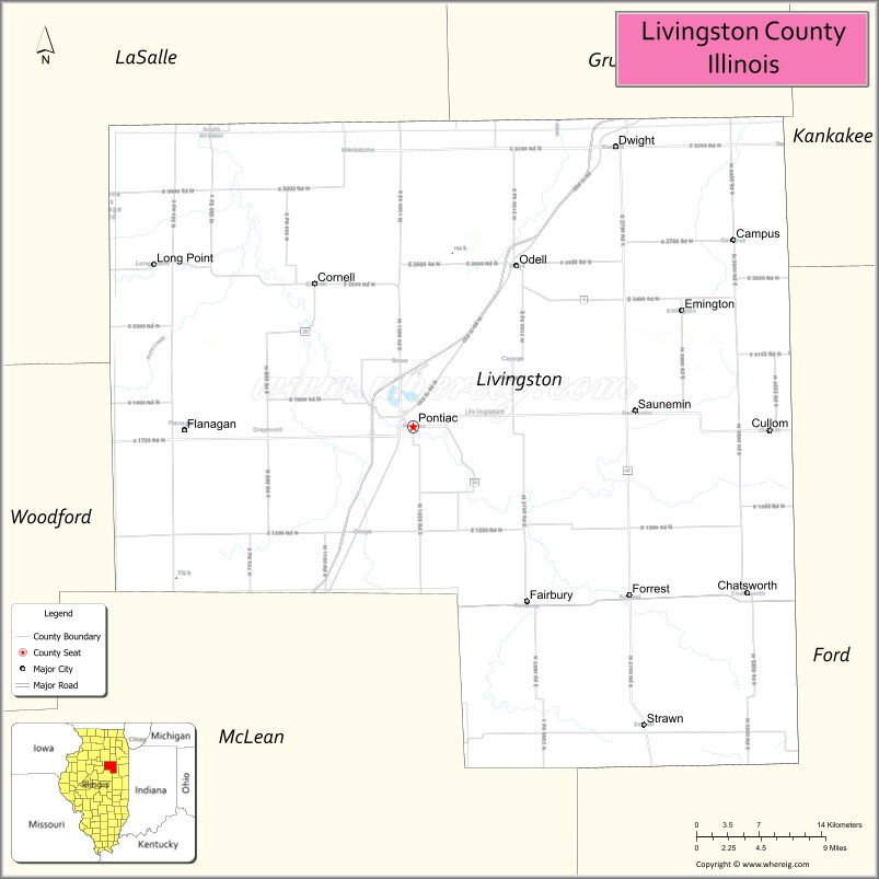
Livingston County location map. Where is Livingston County?
History
Livingston was established on February 27, 1837. It was formed from parts of McLean, LaSalle, and Iroquois counties, and named after Edward Livingston, a prominent politician who was mayor of New York City and represented New York in the United States House of Representatives and Louisiana in both houses of Congress. He later served as Andrew Jackson’s Secretary of State and as Minister to France. Although he had no connections to Illinois, the General Assembly found him accomplished enough to name a county after him.
Livingston County at the time of its creation in 1837
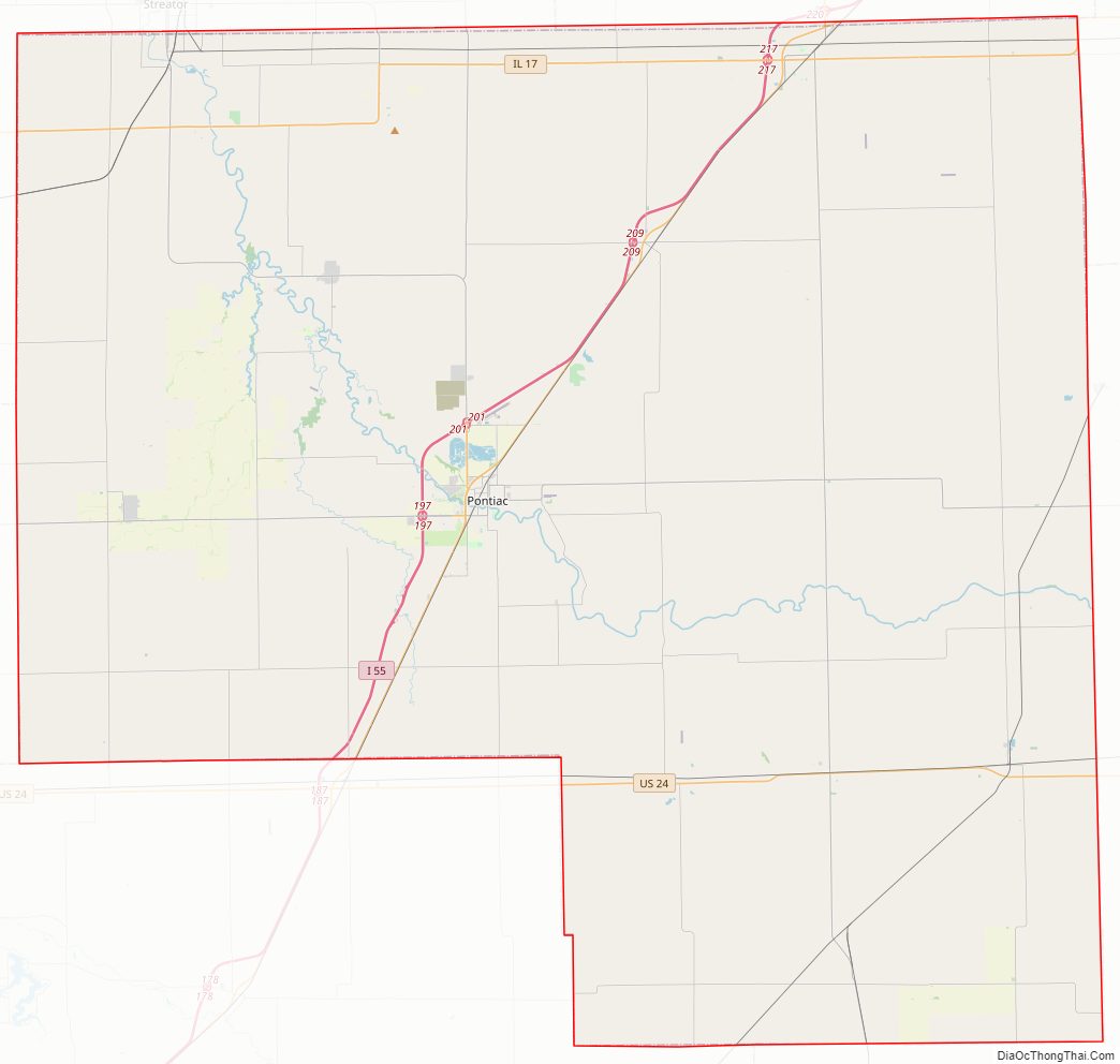
Livingston County Road Map
Geography
According to the U.S. Census Bureau, the county has a total area of 1,046 square miles (2,710 km), of which 1,044 square miles (2,700 km) is land and 1.6 square miles (4.1 km) (0.2%) is water. It is the fourth-largest county in Illinois by land area.
Climate and weather
In recent years, average temperatures in the county seat of Pontiac have ranged from a low of 14 °F (−10.0 °C) in January to a high of 85 °F (29.4 °C) in July, although a record low of −24 °F (−31.1 °C) was recorded in January 1927 and a record high of 108 °F (42.2 °C) was recorded in July 1936. Average monthly precipitation ranged from 1.44 inches (36.6 mm) in February to 4.11 inches (104.4 mm) in June.
Major highways
- Interstate 55
- U.S. Highway 24
- U.S. Highway 66
- Illinois Route 17
- Illinois Route 18
- Illinois Route 23
- Illinois Route 47
- Illinois Route 116
- Illinois Route 170
Adjacent counties
- LaSalle County – northwest
- Grundy County – north
- Kankakee County – northeast
- Ford County – southeast
- McLean County – southwest
- Woodford County – west
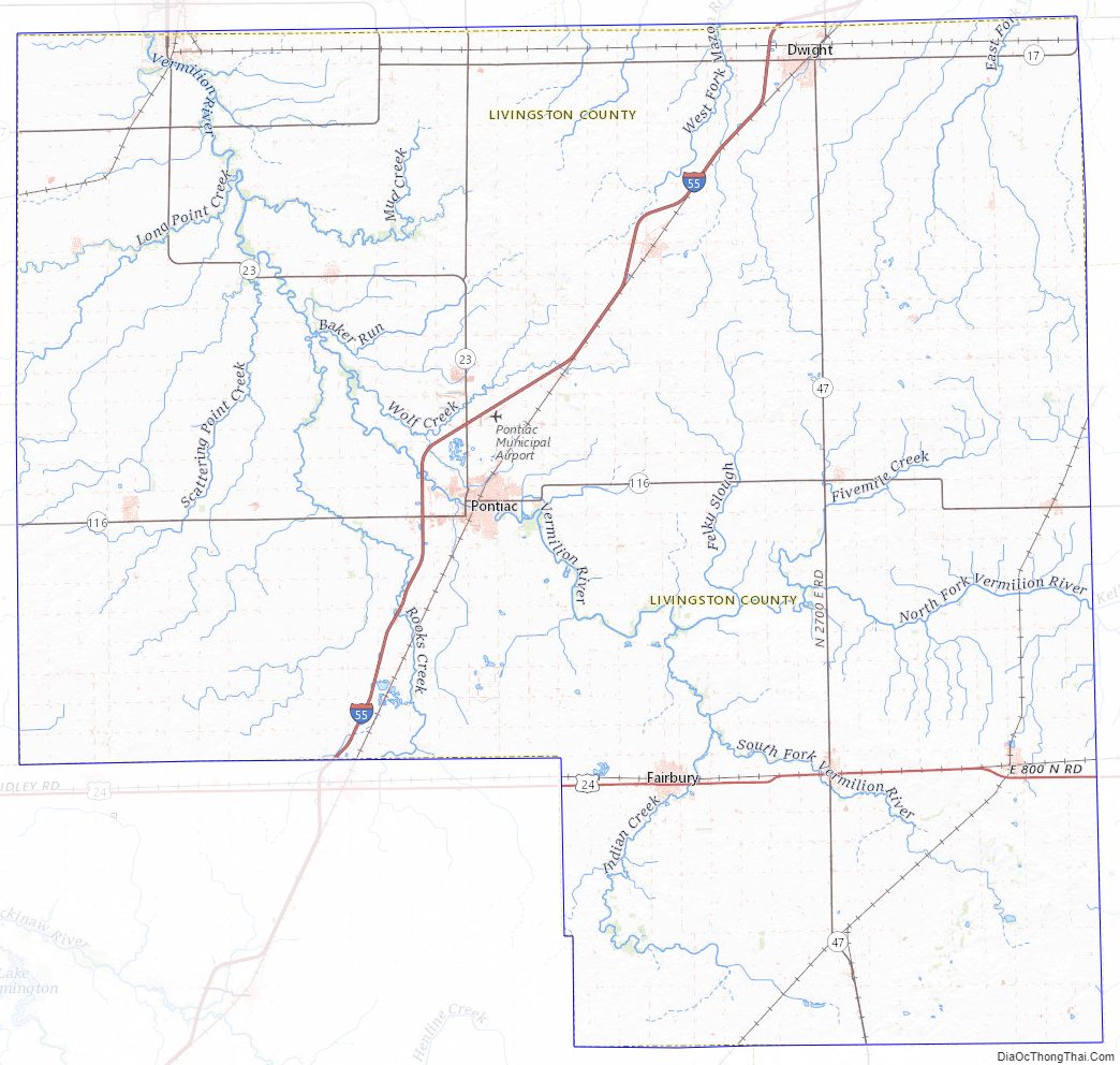
Livingston County Topographic Map
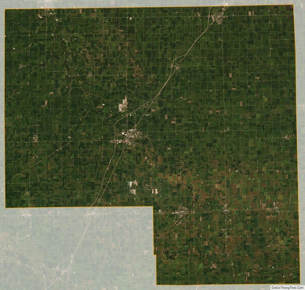
Livingston County Satellite Map
Livingston County Outline Map