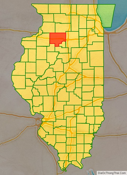
Bureau County is a county located in the U.S. state of Illinois. As of the 2020 United States Census, the population was 33,244. Its county seat is Princeton.
Bureau County is part of the Ottawa, IL Micropolitan Statistical Area, and the Hennepin Canal Parkway State Park is located partly in this county.
| Name: | Bureau County |
|---|---|
| FIPS code: | 17-011 |
| State: | Illinois |
| Founded: | 1837 |
| Seat: | Princeton |
| Largest city: | Princeton |
| Total Area: | 874 sq mi (2,260 km²) |
| Land Area: | 869 sq mi (2,250 km²) |
| Total Population: | 33,244 |
| Population Density: | 38/sq mi (15/km²) |
| Time zone: | UTC−6 (Central) |
| Summer Time Zone (DST): | UTC−5 (CDT) |
| Website: | bureaucounty-il.gov |
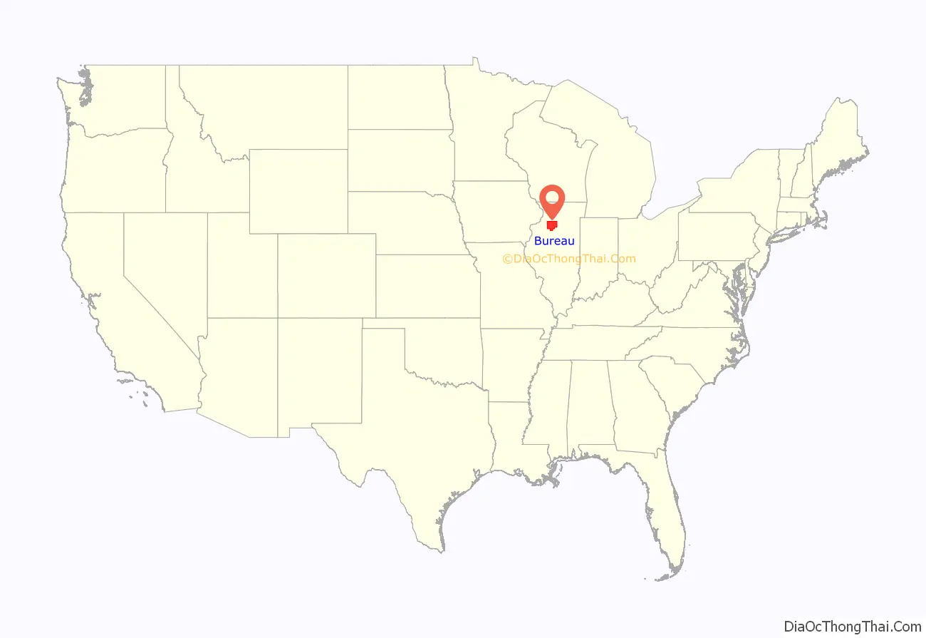
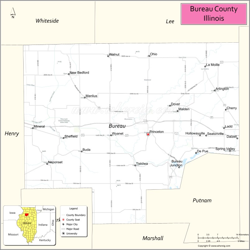
Bureau County location map. Where is Bureau County?
History
Bureau County was created from a portion of Putnam County in 1837. It is named for brothers Michel and Pierre Bureau, French Canadians who ran a trading post from 1776 until the 1780s near the conjunction of Big Bureau Creek with Illinois River. Their actual surname most likely was Belleau, but the local American Indians had difficulty pronouncing the “l” sound, which was not found in some local languages. An early settler of this area was Bulbona, a man of mixed French and Native American descent with a Native American wife. Unlike most of the other Native Americans in the area, Bulbona remained after the area was settled by Euro-Americans and ran a trading post, where he sold whiskey among other necessities.
The founders of Princeton, the area’s oldest town, were settlers from New England, descendants of the English Puritans who settled New England in the 17th century. They were part of a wave of New England farmers who moved to the Northwest Territory in the early 19th century. Most of them came soon after of the completion of the Erie Canal. When they arrived, they faced virgin forest and wild prairie. These New Englanders laid out farms, constructed roads, erected government buildings and established post routes. They brought with them many of their Yankee New England values, such as a passion for education, establishing many schools, and were staunch abolitionists. They were mostly members of the Congregationalist Church or Episcopalians. Early Bureau County, like much of northern Illinois, was culturally very continuous with early New England culture.
Like so many other areas in the Midwest, this county was on a “line” of the Underground Railroad. There was a “station” at the home of Owen Lovejoy in Princeton, and several other locations in the county.
Bureau County’s boundaries have remained unchanged since its creation in 1837.
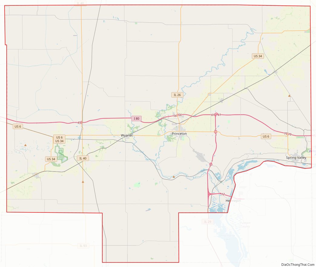
Bureau County Road Map
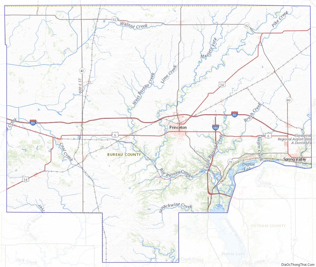
Geography
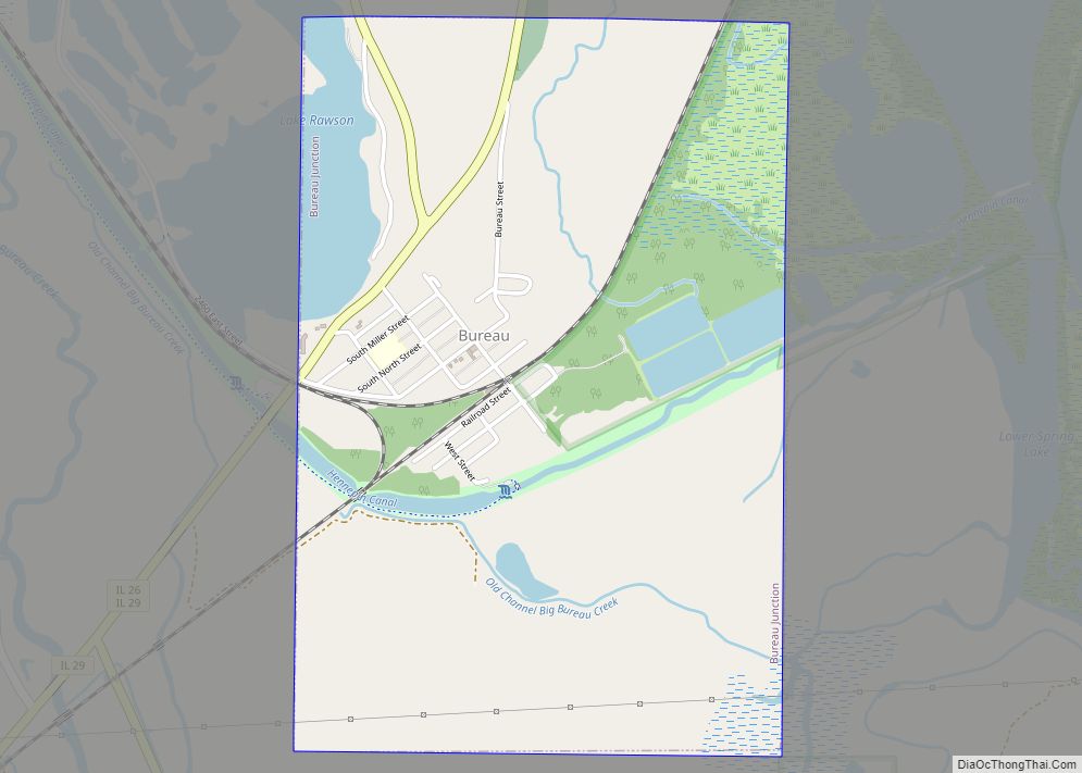
According to the US Census Bureau, the county has a total area of 874 square miles (2,260 km), of which 869 square miles (2,250 km) is land and 4.5 square miles (12 km) (0.5%) is water. Big Bureau Creek is the main body of water.
Adjacent counties
- Whiteside County – northwest
- Lee County – north
- LaSalle County – east
- Putnam County – southeast
- Marshall County – south
- Stark County – southwest
- Henry County – west
Major highways
- Interstate 80
- Interstate 180
- U.S. Route 6
- U.S. Route 34
- Illinois Route 26
- Illinois Route 29
- Illinois Route 40
- Illinois Route 89
- Illinois Route 92
Bureau County Topographic Map
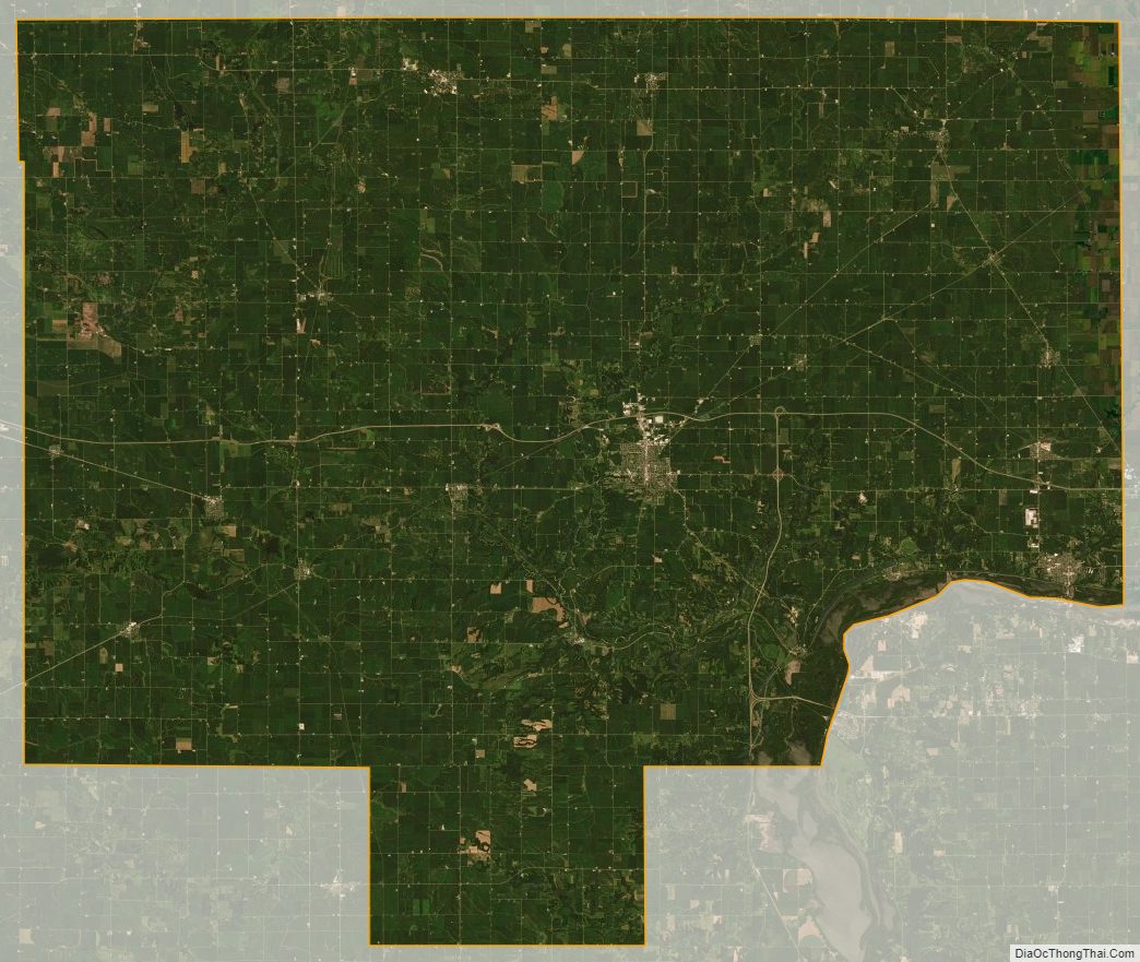
Bureau County Satellite Map
Bureau County Outline Map