Brown County is a county located in the U.S. state of Illinois. As of the 2010 census, the population was 6,937. Its county seat is Mount Sterling.
Siloam Springs State Park is located partly in this county.
| Name: | Brown County |
|---|---|
| FIPS code: | 17-009 |
| State: | Illinois |
| Founded: | 1839 |
| Named for: | Jacob Brown |
| Seat: | Mount Sterling |
| Largest city: | Mount Sterling |
| Total Area: | 307 sq mi (800 km²) |
| Land Area: | 306 sq mi (790 km²) |
| Total Population: | 6,937 |
| Population Density: | 23/sq mi (8.7/km²) |
| Time zone: | UTC−6 (Central) |
| Summer Time Zone (DST): | UTC−5 (CDT) |
| Website: | www.browncoil.org |
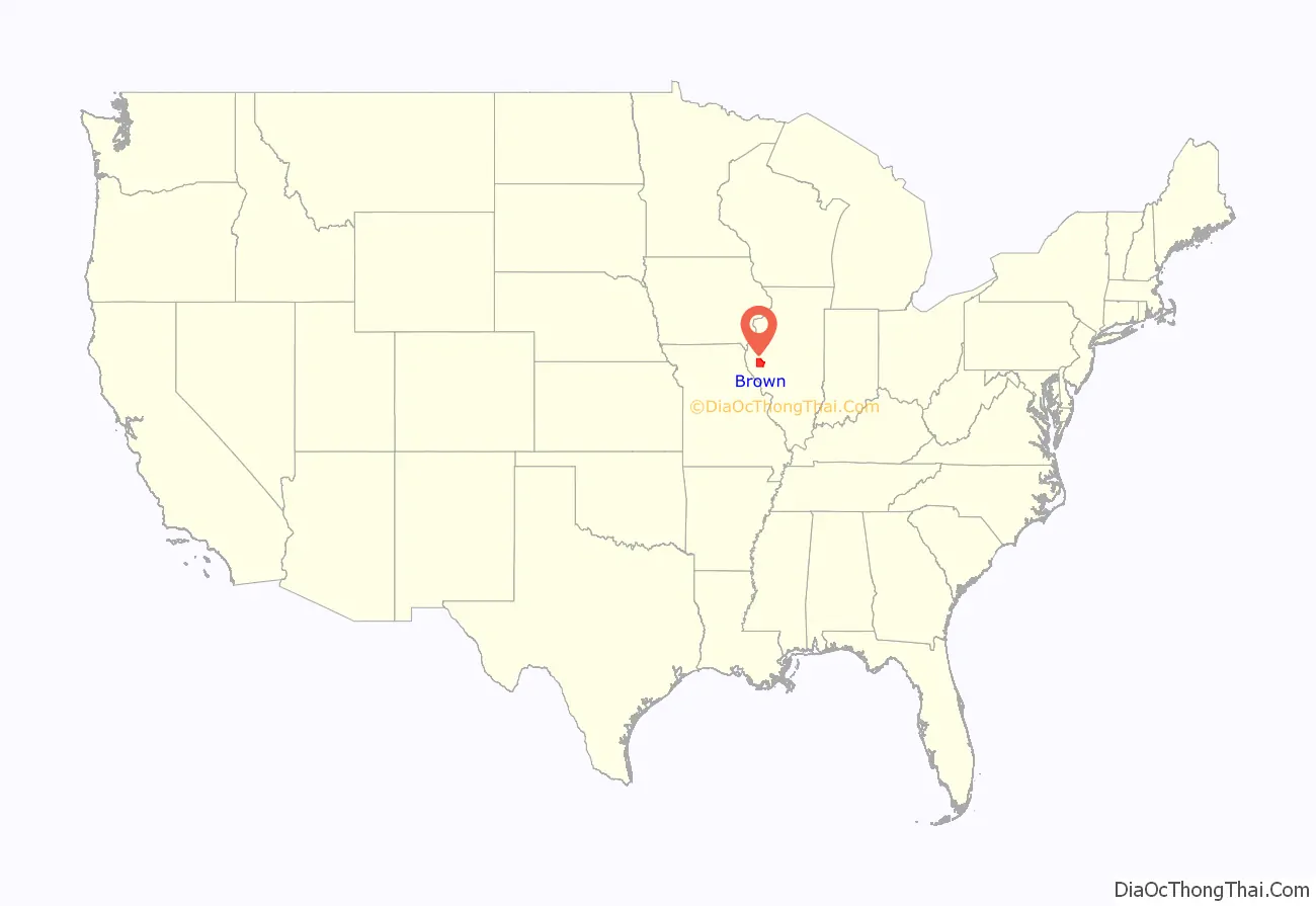
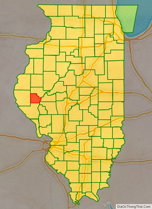
Brown County location map. Where is Brown County?
History
Brown County was formed out of Schuyler County in 1839. It is named in honor of U.S. General Jacob Brown, who defeated the British at the Battle of Sackett’s Harbor in 1813.
Brown County at the time of its creation in 1839
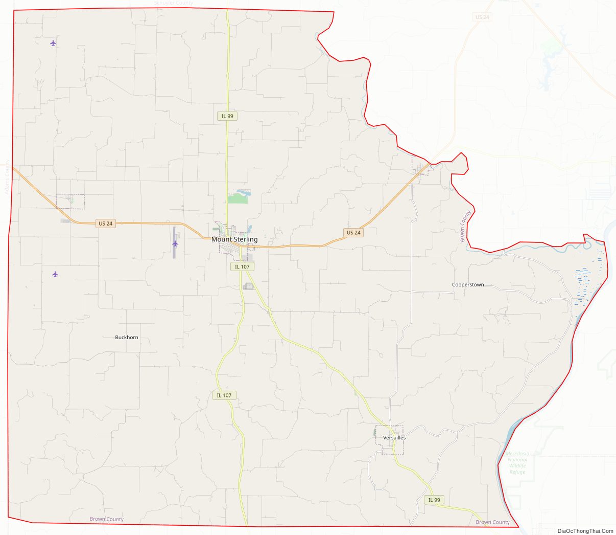
Brown County Road Map
Geography
According to the U.S. Census Bureau, the county has a total area of 307 square miles (800 km), of which 306 square miles (790 km) is land and 1.6 square miles (4.1 km) (0.5%) is water. The Illinois River flows along part of the county’s eastern border.
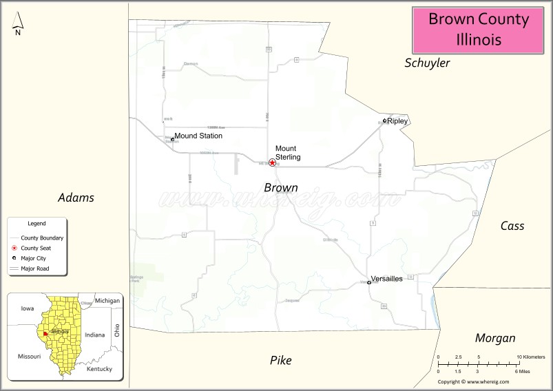
Adjacent counties
- Schuyler County – north
- Cass County – east
- Morgan County – southeast
- Pike County – south
- Adams County – west
Major highways
- US Route 24
- Illinois Route 99
- Illinois Route 107
Brown County Topographic Map
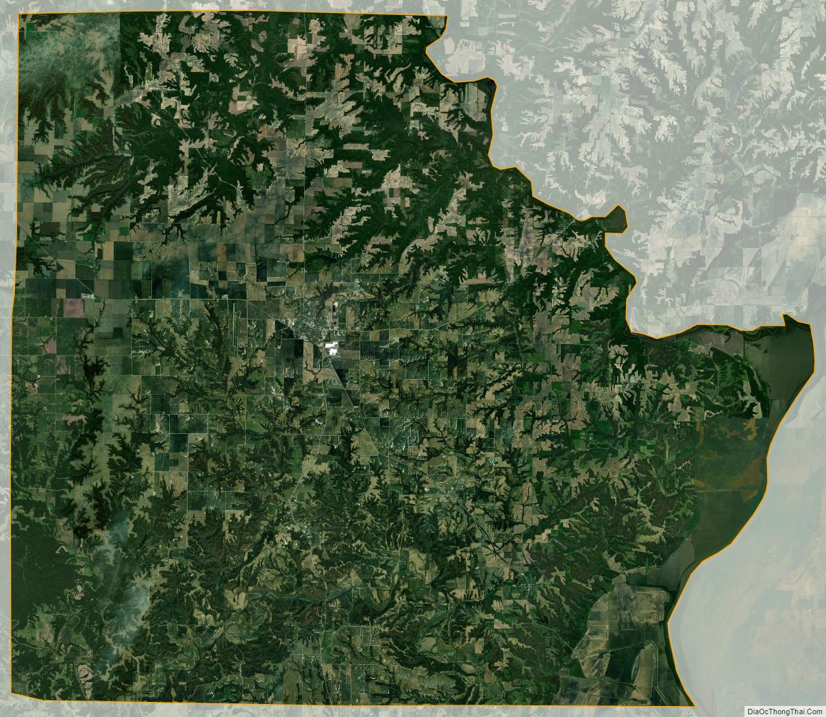
Brown County Satellite Map
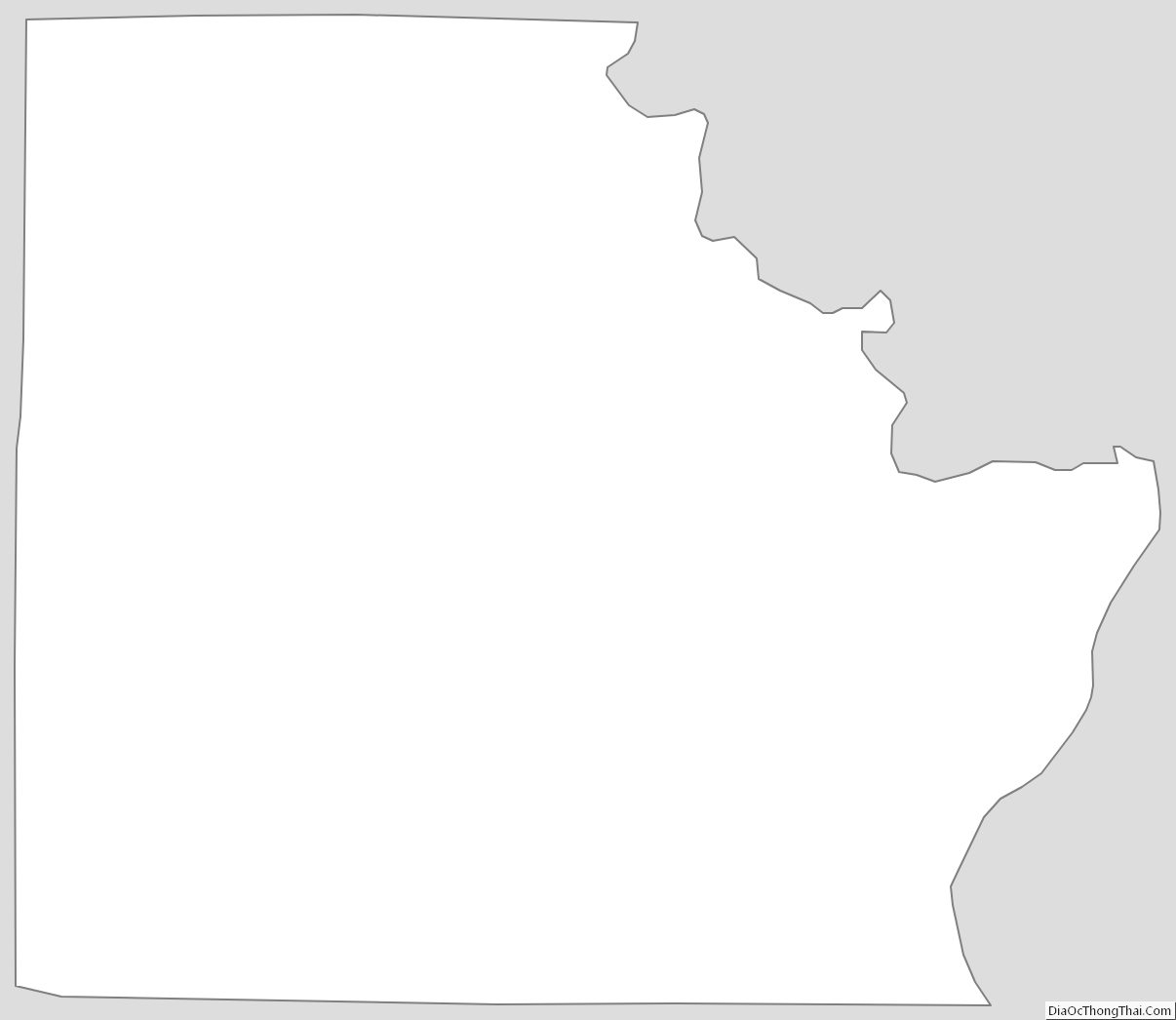
Brown County Outline Map