Marion County is a county in the U.S. state of Kentucky. As of the 2020 census, the total population was 19,581. Its county seat is Lebanon. The county was founded in 1834 and named for Francis Marion, the American Revolutionary War hero known as the “Swamp Fox”.
| Name: | Marion County |
|---|---|
| FIPS code: | 21-155 |
| State: | Kentucky |
| Founded: | 1834 |
| Named for: | Francis Marion |
| Seat: | Lebanon |
| Largest city: | Lebanon |
| Total Area: | 347 sq mi (900 km²) |
| Land Area: | 343 sq mi (890 km²) |
| Total Population: | 19,581 |
| Population Density: | 56/sq mi (22/km²) |
| Time zone: | UTC−5 (Eastern) |
| Summer Time Zone (DST): | UTC−4 (EDT) |
| Website: | www.marioncounty.ky.gov |
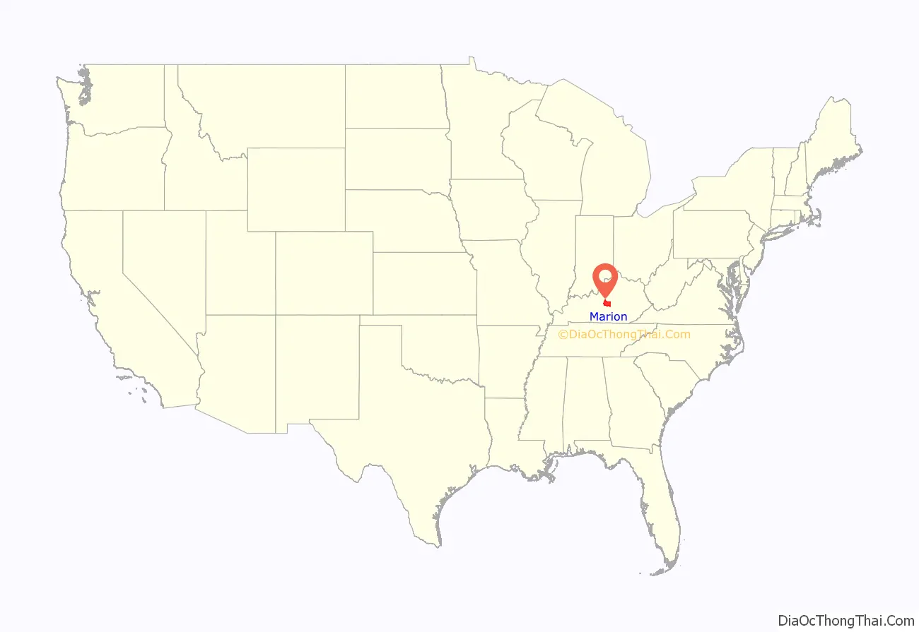
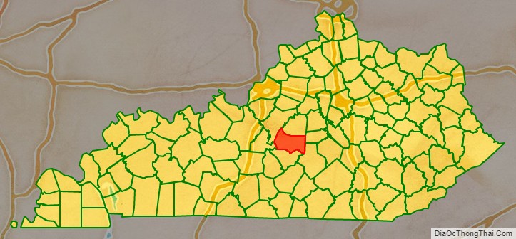
Marion County location map. Where is Marion County?
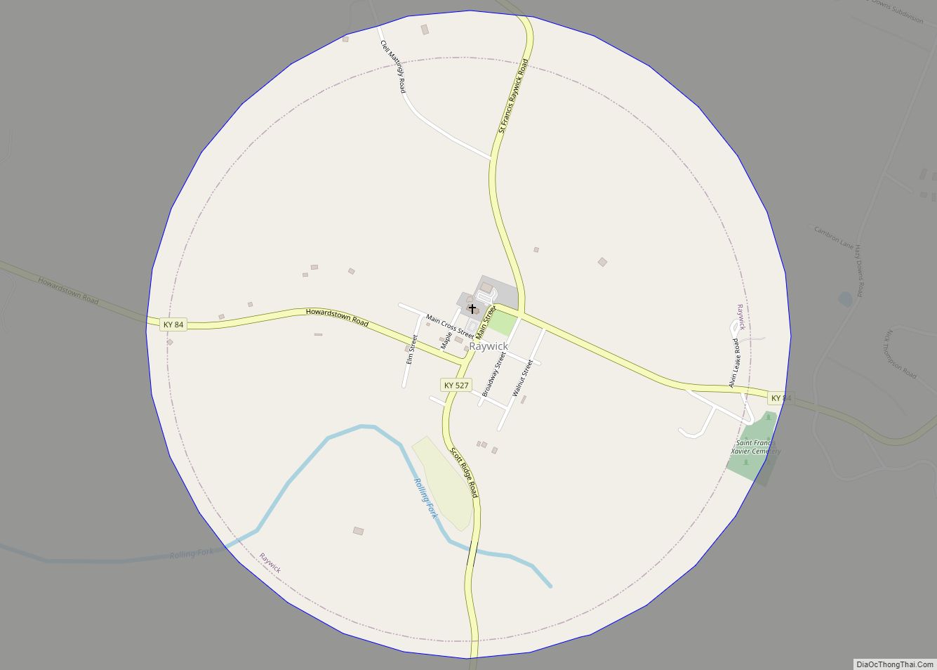
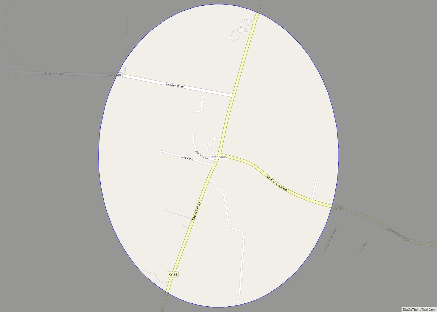
Marion County Road Map
Geography
According to the United States Census Bureau, the county has a total area of 347 square miles (900 km), of which 343 square miles (890 km) is land and 3.9 square miles (10 km) (1.1%) is water.
Marion County includes the geographic center of the state of Kentucky, which is located 3 miles NNW of Lebanon, just off KY 429. Marion County was formed in 1834 from part of Washington County. Marion County is Kentucky’s most Catholic county.The first Catholic settlers in Kentucky came to Holy Cross in the western part of the county circa 1790.
Adjacent counties
- Washington County (north)
- Boyle County (northeast)
- Casey County (southeast)
- Taylor County (south)
- LaRue County (southwest)
- Nelson County (northwest)
