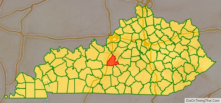
LaRue County is a county in the central region of the U.S. state of Kentucky, outside the Bluegrass Region and larger population centers. As of the 2020 census, the population was 14,867. Its county seat is Hodgenville, which is best known as the birthplace of United States President Abraham Lincoln. The county was established on March 4, 1843, from the southeast portion of Hardin County. It was named for John P. LaRue, an early settler. LaRue County is included in the Elizabethtown-Fort Knox, KY Metropolitan Statistical Area, which is also included in the Louisville/Jefferson County-Elizabethtown-Bardstown, KY-IN Combined Statistical Area. It is a dry county.
| Name: | Larue County |
|---|---|
| FIPS code: | 21-123 |
| State: | Kentucky |
| Founded: | 1843 |
| Named for: | John LaRue |
| Seat: | Hodgenville |
| Largest city: | Hodgenville |
| Total Area: | 264 sq mi (680 km²) |
| Land Area: | 262 sq mi (680 km²) |
| Total Population: | 14,867 |
| Population Density: | 56/sq mi (22/km²) |
| Time zone: | UTC−5 (Eastern) |
| Summer Time Zone (DST): | UTC−4 (EDT) |
| Website: | www.laruecounty.org |
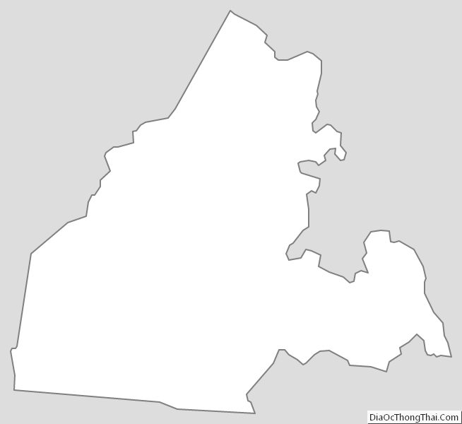
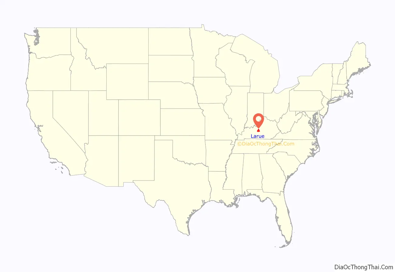
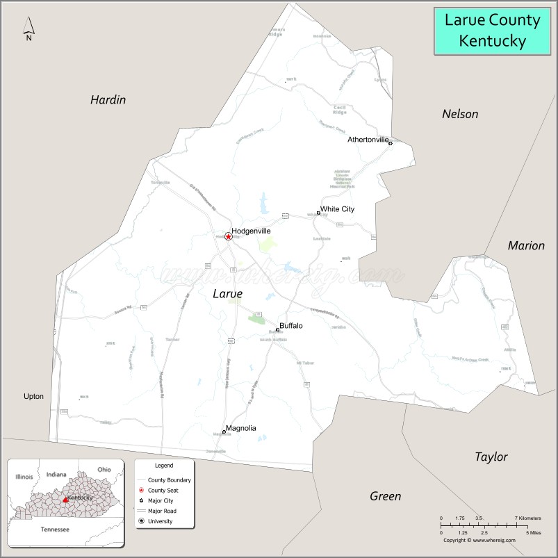
Larue County location map. Where is Larue County?
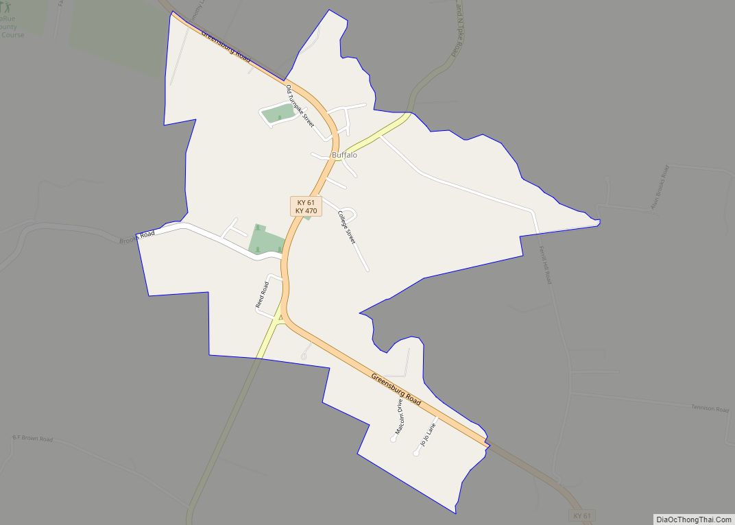
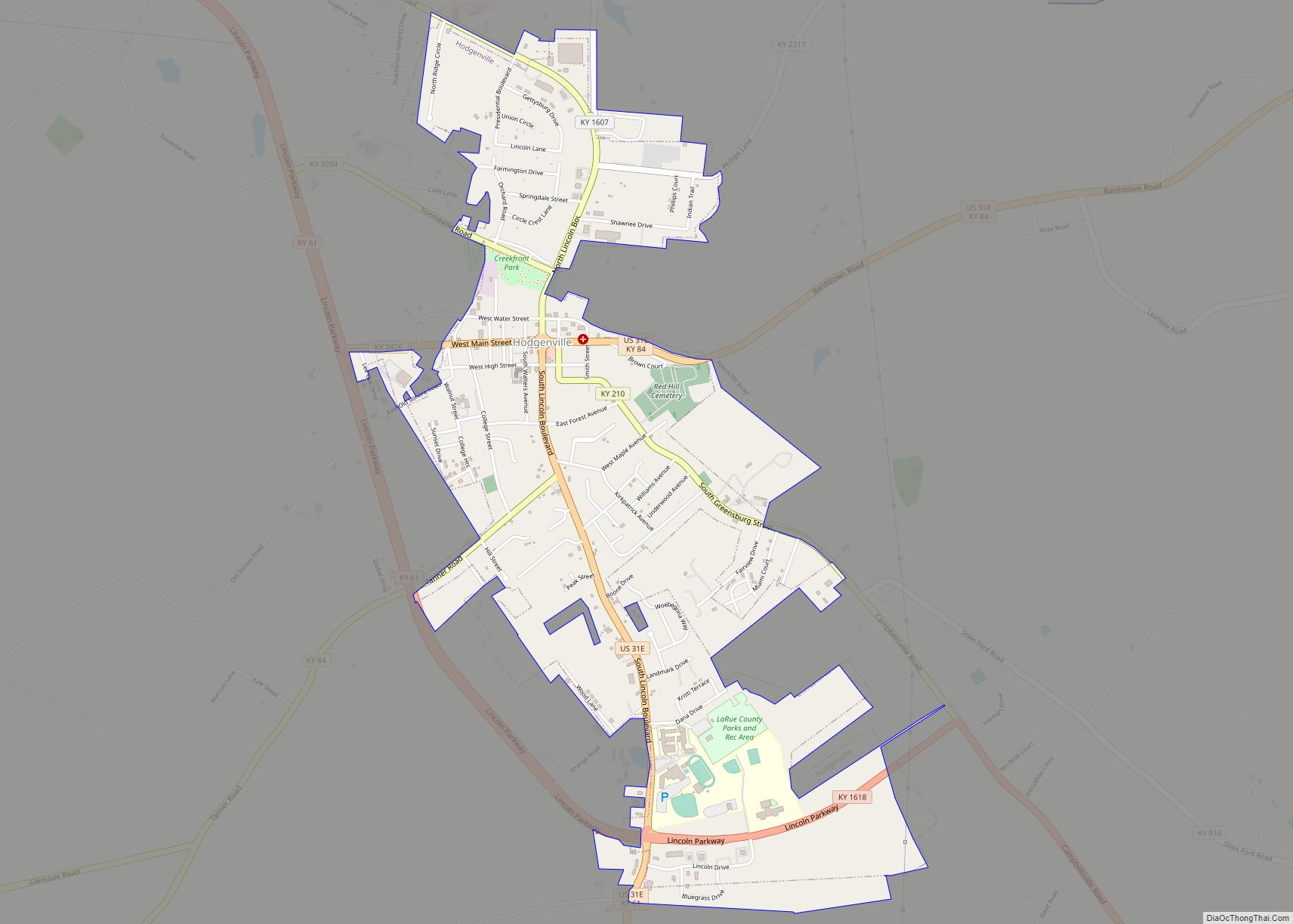
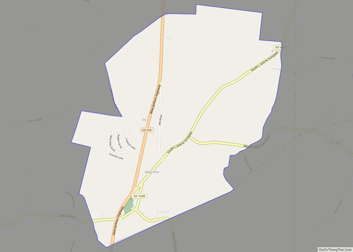
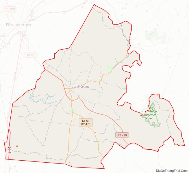
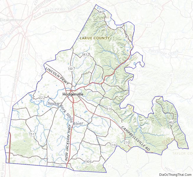
Larue County Road Map
Geography
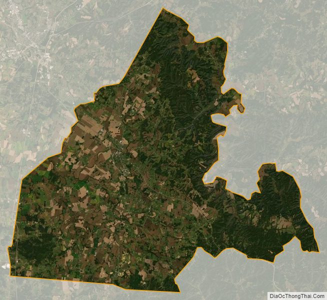
The low rolling hills of LaRue County have been largely cleared and devoted to agriculture or urban development, with only the drainages of the eastern portions still wooded. The highest point (1,100 feet (340 meters) ASL) is a small hill near its border with Taylor County.
According to the United States Census Bureau, the county has a total area of 264 square miles (680 km), of which 262 square miles (680 km) is land and 2.1 square miles (5.4 km) (0.8%) is water.
Adjacent counties
- Nelson County − northeast
- Marion County − east
- Taylor County − southeast
- Green County − south/CST Border
- Hart County − southwest/CST Border
- Hardin County − northwest
National protected area
- Abraham Lincoln Birthplace National Historic Site
Larue County Topographic Map
Larue County Satellite Map
Larue County Outline Map