Lebanon is a home rule-class city and the county seat of Marion County, Kentucky, in the United States. The population was 6,274 at the 2020 census, up from 5,539 in 2010. Lebanon is located in central Kentucky, 63 miles (101 km) southeast of Louisville. A national cemetery is nearby.
| Name: | Lebanon city |
|---|---|
| LSAD Code: | 25 |
| LSAD Description: | city (suffix) |
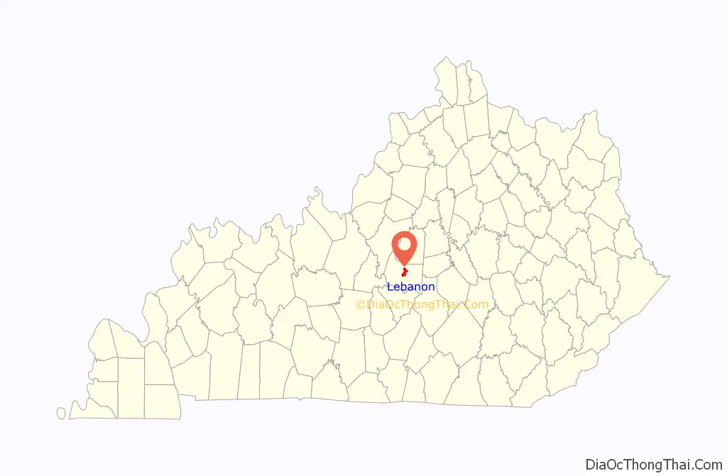
| State: | Kentucky |
| County: | Marion County |
| Elevation: | 791 ft (241 m) |
| Total Area: | 6.41 sq mi (16.59 km²) |
| Land Area: | 6.37 sq mi (16.50 km²) |
| Water Area: | 0.04 sq mi (0.09 km²) |
| Total Population: | 6,274 |
| Population Density: | 984.93/sq mi (380.28/km²) |
| ZIP code: | 40033 |
| Area code: | 270 & 364 |
| FIPS code: | 2144344 |
| GNISfeature ID: | 0496130 |
| Website: | lebanon.ky.gov |
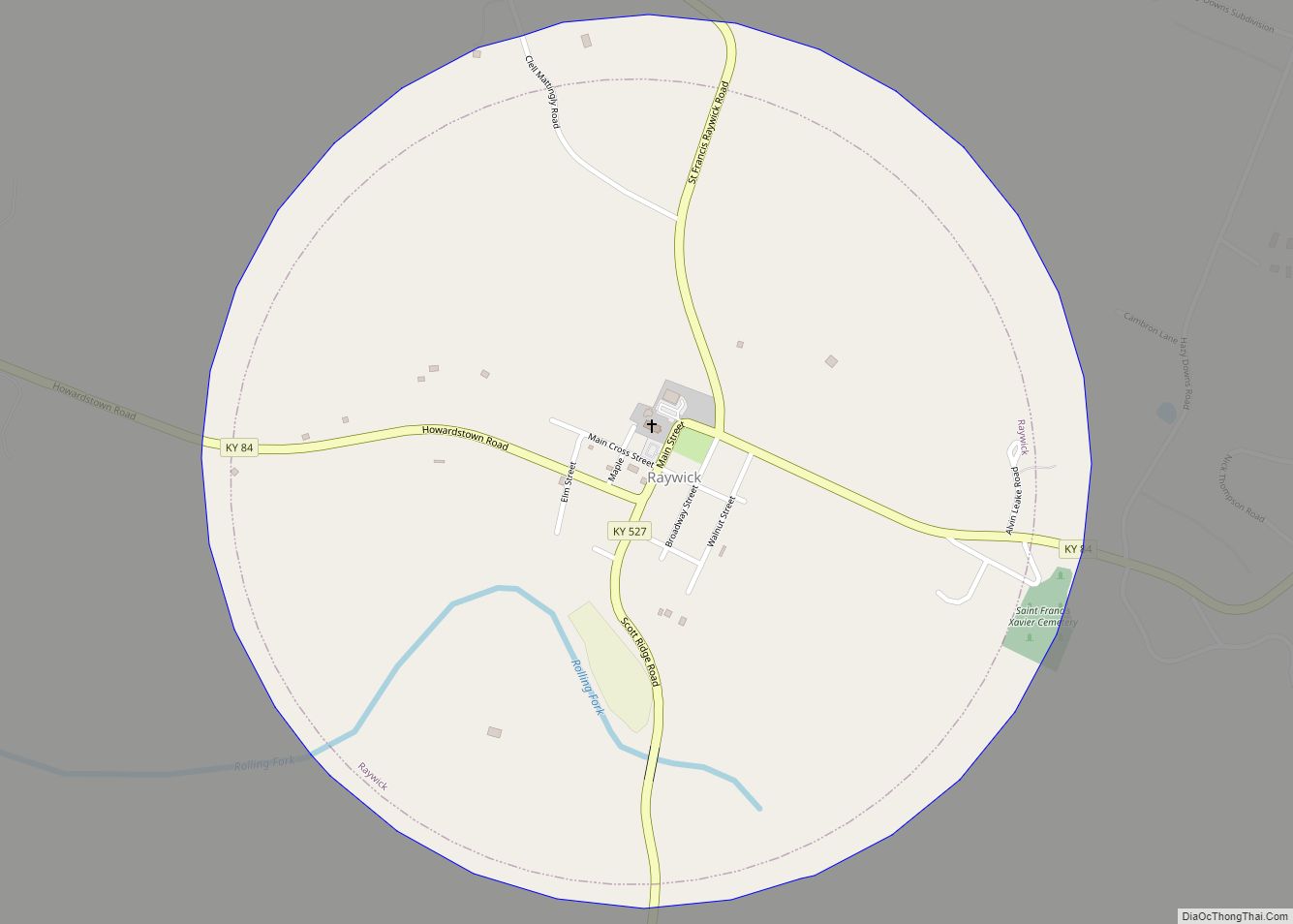
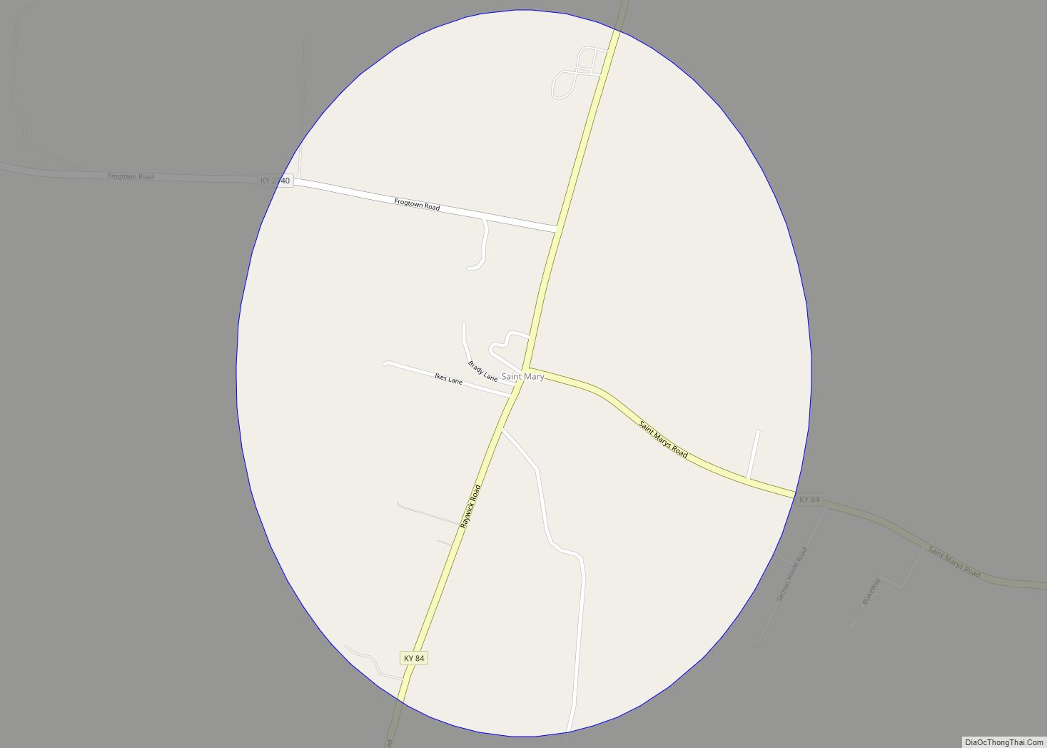
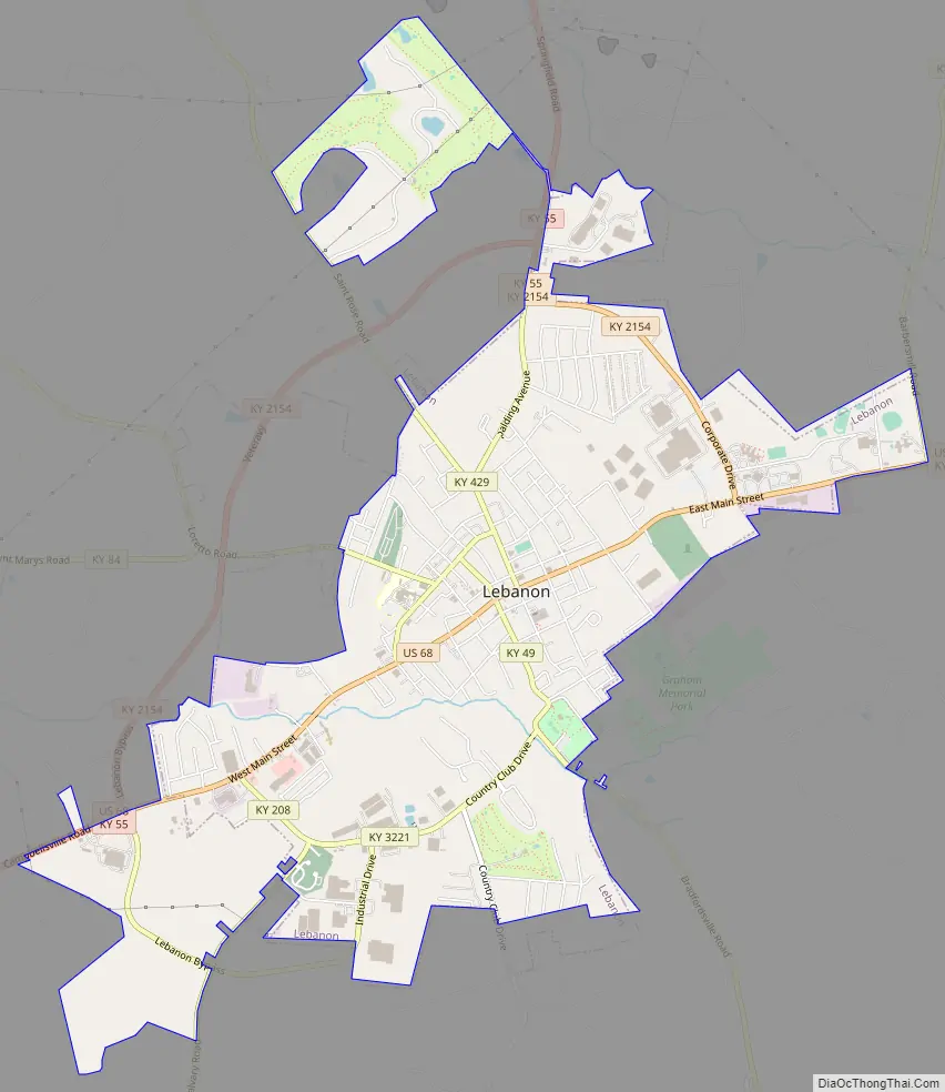
Online Interactive Map
Click on ![]() to view map in "full screen" mode.
to view map in "full screen" mode.
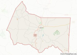
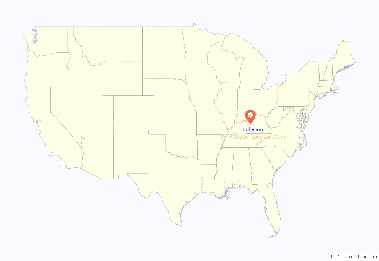
Lebanon location map. Where is Lebanon city?
History
Prior to the establishment of the city now known as Lebanon, the town of Georgetown, north of Lexington, was also named “Lebanon” during its first few years of establishment. It was renamed in 1790 in honor of President George Washington.
Present-day Lebanon was established in 1814 and named for the Biblical Lebanon because of its abundant cedar trees. The founding community traces back to the Hardin’s Creek Meeting House, built by Presbyterians from Virginia. It was incorporated as a city on January 28, 1815, and became the county seat of Marion County in 1835. Because of its style, architecture, and businesses, Lebanon had the reputation of being Kentucky’s Philadelphia and was considered for the site of the state capitol.
In the 19th century, Lebanon was one of the stops along the National Turnpike from Maysville to Nashville. In 1819, Henry Clay and Andrew Jackson met here after having crossed paths on their journeys. Many of its brick homes date from the antebellum period, including Hollyhill and Myrtledene (now a bed and breakfast). Much of Lebanon’s downtown business district was recently placed on the National Register of Historic Places.
A branch of the Louisville & Nashville Railroad was built to Lebanon in 1857, but growth of the town was halted by the Civil War. Three battles were fought nearby, and control over the railroad branch passed between Union and Confederate hands several times. After the death of his brother Tom during a local battle, Confederate John Hunt Morgan’s cavalry burned the railroad depot, a hotel, and several residences on July 5, 1863, during the Battle of Lebanon.
Lebanon’s Historic Homes and Landmarks Tour is also part of the Kentucky Civil War Heritage Trail and includes 24 listings. On the Civil War Discovery Trail, three landmarks stand out. The Commissary Building, which is the old Sunnyside Dispensary Building, was in place during the Civil War and supplied dry goods and food stuffs to the Union garrison in the town. The Shuck building, which is now Henning’s Restaurant, was the office of General George H. Thomas, when he gathered an army of several thousand to go to Mill Springs to defend the Cumberland Valley. Myrtledene was where General John Hunt Morgan rode his horse in the house and started up the stairs. General Morgan used the property as his headquarters while he was in Lebanon. On the southern limits of Lebanon is the National Cemetery, where many of the Union soldiers who fell in the 1862 Battle of Perryville were laid to rest. The cemetery is the site of many military funerals and hosts annual Memorial Day celebrations.
The town rebounded after the war and became a trade center, but declined as railroads became less important to commerce in the 1900s. The tracks were abandoned, then eventually removed by CSX Transportation in the mid-1980s.
In the 1950s, 1960s, and early 1970s, Lebanon was known as an entertainment hotspot, as nationally known acts appeared at The Plantation, Club Cherry, Club 68, and the Golden Horseshoe nightclubs. The clubs hosted famous acts such as Ike and Tina Turner, Nat King Cole, Jerry Lee Lewis, Creedence Clearwater Revival, Steppenwolf, The Platters, the Amazing Rhythm Aces, Otis Redding, Jimi Hendrix, Little Richard, Bo Diddley, Jackie Wilson, The Supremes, Ray Charles, James Brown, Chuck Berry, Fats Domino, Sam and Dave, Wilson Pickett, B.B. King, Percy Sledge, Bobby Blue Bland and Count Basie.
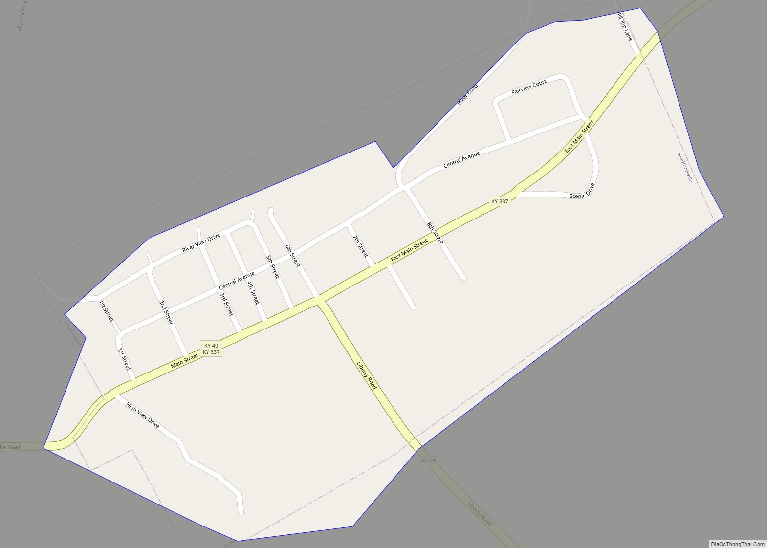
Lebanon Road Map
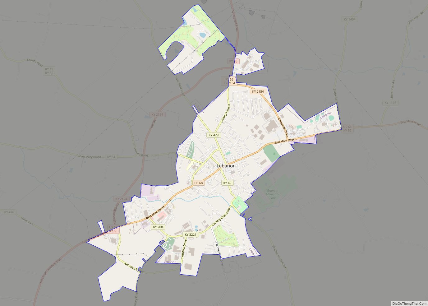
Lebanon city Satellite Map

Geography
Lebanon is located in central Marion County at 37°34′14″N 85°15′23″W / 37.57056°N 85.25639°W / 37.57056; -85.25639 (37.570623, -85.256263). It is approximately 28 miles (45 km) west of Danville and 18 miles (29 km) north of Campbellsville. It is located at the junction of U.S. Route 68 and Kentucky Routes 55, 52, and 49. Ky. 84 intersects Ky. 49 and 52 just west of town.
According to the United States Census Bureau, the city has a total area of 6.4 square miles (16.6 km), of which 0.04 square miles (0.10 km), or 0.55%, are water. Hardins Creek runs through the southern part of the city, flowing northwest to the Beech Fork, part of the Rolling Fork and Salt River watershed leading to the Ohio River.
See also
Map of Kentucky State and its subdivision:- Adair
- Allen
- Anderson
- Ballard
- Barren
- Bath
- Bell
- Boone
- Bourbon
- Boyd
- Boyle
- Bracken
- Breathitt
- Breckinridge
- Bullitt
- Butler
- Caldwell
- Calloway
- Campbell
- Carlisle
- Carroll
- Carter
- Casey
- Christian
- Clark
- Clay
- Clinton
- Crittenden
- Cumberland
- Daviess
- Edmonson
- Elliott
- Estill
- Fayette
- Fleming
- Floyd
- Franklin
- Fulton
- Gallatin
- Garrard
- Grant
- Graves
- Grayson
- Green
- Greenup
- Hancock
- Hardin
- Harlan
- Harrison
- Hart
- Henderson
- Henry
- Hickman
- Hopkins
- Jackson
- Jefferson
- Jessamine
- Johnson
- Kenton
- Knott
- Knox
- Larue
- Laurel
- Lawrence
- Lee
- Leslie
- Letcher
- Lewis
- Lincoln
- Livingston
- Logan
- Lyon
- Madison
- Magoffin
- Marion
- Marshall
- Martin
- Mason
- McCracken
- McCreary
- McLean
- Meade
- Menifee
- Mercer
- Metcalfe
- Monroe
- Montgomery
- Morgan
- Muhlenberg
- Nelson
- Nicholas
- Ohio
- Oldham
- Owen
- Owsley
- Pendleton
- Perry
- Pike
- Powell
- Pulaski
- Robertson
- Rockcastle
- Rowan
- Russell
- Scott
- Shelby
- Simpson
- Spencer
- Taylor
- Todd
- Trigg
- Trimble
- Union
- Warren
- Washington
- Wayne
- Webster
- Whitley
- Wolfe
- Woodford
- Alabama
- Alaska
- Arizona
- Arkansas
- California
- Colorado
- Connecticut
- Delaware
- District of Columbia
- Florida
- Georgia
- Hawaii
- Idaho
- Illinois
- Indiana
- Iowa
- Kansas
- Kentucky
- Louisiana
- Maine
- Maryland
- Massachusetts
- Michigan
- Minnesota
- Mississippi
- Missouri
- Montana
- Nebraska
- Nevada
- New Hampshire
- New Jersey
- New Mexico
- New York
- North Carolina
- North Dakota
- Ohio
- Oklahoma
- Oregon
- Pennsylvania
- Rhode Island
- South Carolina
- South Dakota
- Tennessee
- Texas
- Utah
- Vermont
- Virginia
- Washington
- West Virginia
- Wisconsin
- Wyoming