Marion County is a county located in the U.S. state of Ohio. As of the 2020 census, the population was 65,359. Its county seat is Marion. The county was created in 1820 and later organized in 1824. It is named for General Francis “The Swamp Fox” Marion, a South Carolinian officer in the Revolutionary War.
Marion County comprises the Marion, OH Micropolitan Statistical Area, which is also included in the Columbus-Marion-Zanesville, OH Combined Statistical Area.
| Name: | Marion County |
|---|---|
| FIPS code: | 39-101 |
| State: | Ohio |
| Founded: | May 1, 1824 |
| Named for: | Francis Marion |
| Seat: | Marion |
| Largest city: | Marion |
| Total Area: | 404 sq mi (1,050 km²) |
| Land Area: | 404 sq mi (1,050 km²) |
| Total Population: | 65,359 |
| Population Density: | 160/sq mi (62/km²) |
| Time zone: | UTC−5 (Eastern) |
| Summer Time Zone (DST): | UTC−4 (EDT) |
| Website: | www.co.marion.oh.us |
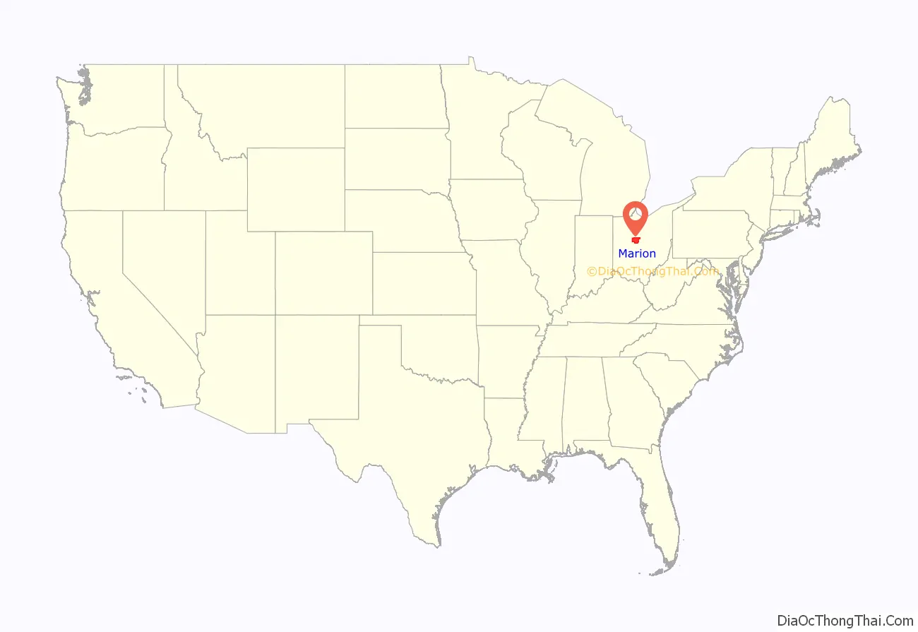
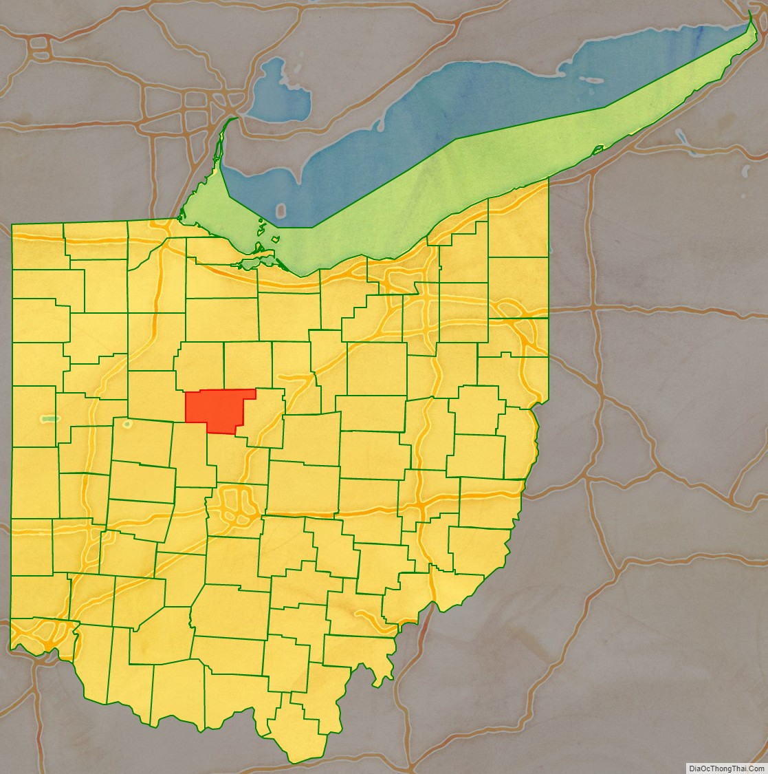
Marion County location map. Where is Marion County?
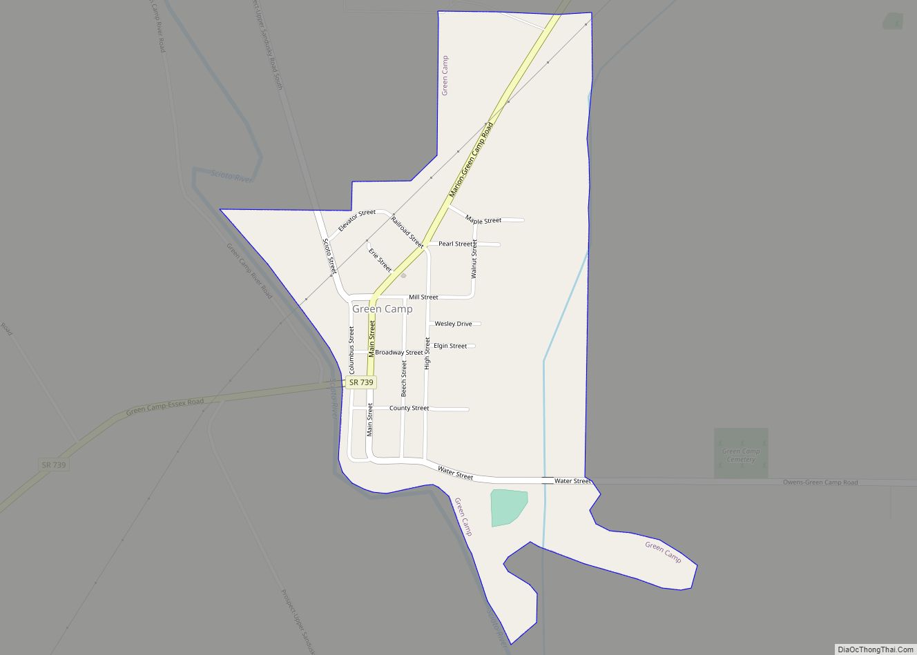
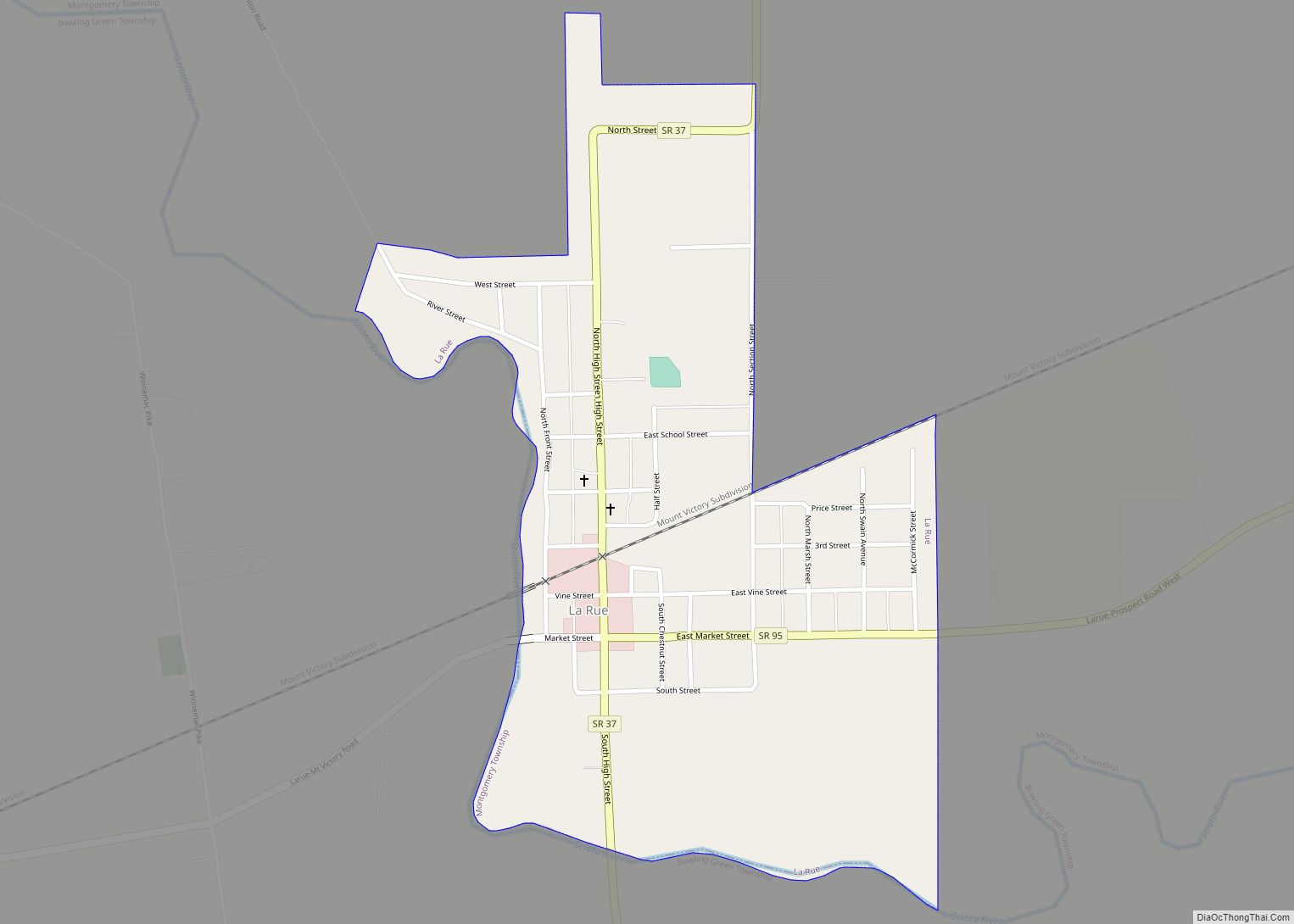
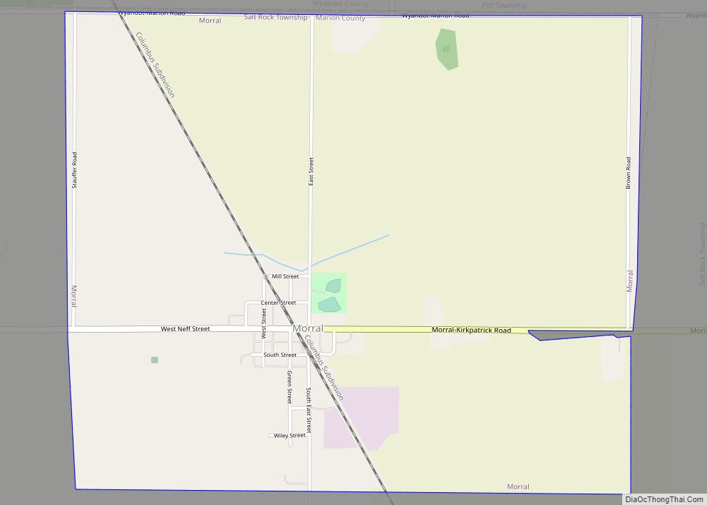
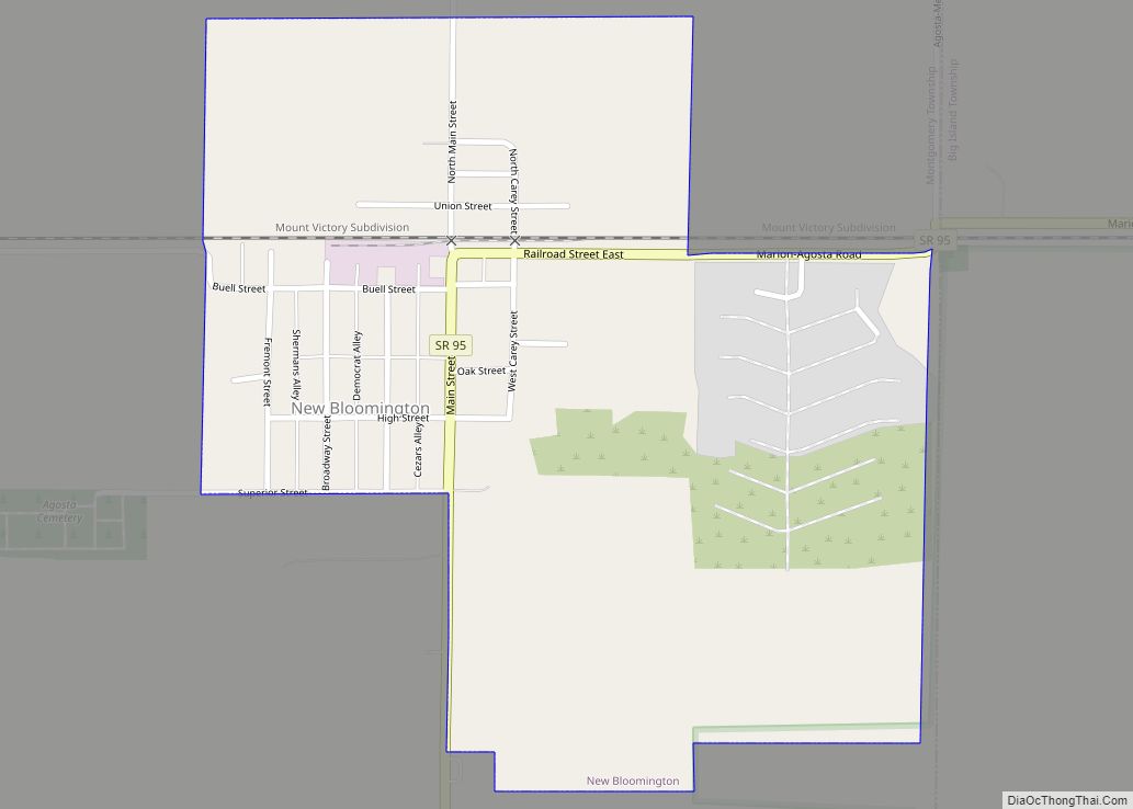
Marion County Road Map
Geography
According to the U.S. Census Bureau, the county has a total area of 404 square miles (1,050 km), of which 404 square miles (1,050 km) is land and 0.4 square miles (1.0 km) (0.1%) is water. It is the fifth-smallest county in Ohio by total area.
Adjacent counties
- Crawford County (northeast)
- Morrow County (east)
- Delaware County (south)
- Union County (southwest)
- Hardin County (west)
- Wyandot County (northwest)
Major highways
- US 23
- SR 4
- SR 37
- SR 47
- SR 95
- SR 98
- SR 100
- SR 203
- SR 231
- SR 309
- SR 423
- SR 529
- SR 739
- SR 746
