Shelton is a city in and the county seat of Mason County, Washington, United States. Shelton is the westernmost city on Puget Sound. The population was 10,371 at the 2020 census. Shelton has a council–manager form of government and was the last city in Washington to use a mayor–commission form of government.
| Name: | Shelton city |
|---|---|
| LSAD Code: | 25 |
| LSAD Description: | city (suffix) |
| State: | Washington |
| County: | Mason County |
| Elevation: | 23 ft (7 m) |
| Total Area: | 6.25 sq mi (16.18 km²) |
| Land Area: | 5.81 sq mi (15.05 km²) |
| Water Area: | 0.44 sq mi (1.13 km²) |
| Total Population: | 10,371 |
| Population Density: | 1,785/sq mi (689.2/km²) |
| ZIP code: | 98584 |
| Area code: | 360 |
| FIPS code: | 5363735 |
| GNISfeature ID: | 1528429 |
| Website: | ci.shelton.wa.us |
Online Interactive Map
Click on ![]() to view map in "full screen" mode.
to view map in "full screen" mode.
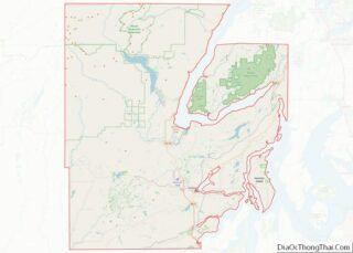
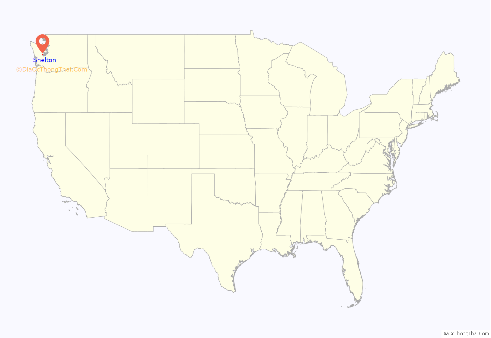
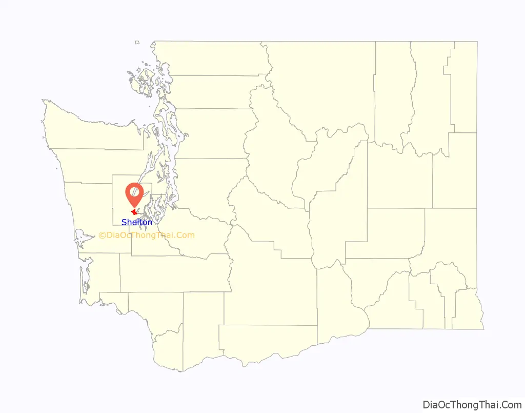
Shelton location map. Where is Shelton city?
History
Shelton was officially incorporated in 1890. The city was named after David Shelton, a delegate to the territorial legislature. The land was previously called “Cota” and was inhabited and managed by the Squaxin Island Tribe, or “People of the Waters”, who had inhabited the land for centuries before contact with white settlers. The land was ceded, along with 4,000 sq. miles of Indigenous land, on December 26, 1854, with the passage of the Treaty of Medicine Creek. After the passage of the treaty, David Shelton and his wife, Frances Shelton, each took a claim of land enabled by the Donation Land Claim Act totaling 640 acres in what would eventually be incorporated as Shelton.
Shelton was once served by a small fleet of steamboats which was part of the Puget Sound Mosquito Fleet. These boats included the Old Settler, Irene, Willie, City of Shelton, Marian, Clara Brown, and S.G. Simpson. The economy was built around logging, farming, dairying and ranching as well as oyster cultivation. The Simpson Timber Company mill on Puget Sound’s Oakland Bay dominated the landscape of the downtown area; the mill was sold to Sierra Pacific Industries in 2015, who are currently building a new mill. Shelton also identifies itself as the “Christmas Tree Capital”.
Shelton was incorporated in the 1890s. It was the last city in Washington to use a mayor/commission form of government. In November 2017, the voters of Shelton adopted a manager/council form of municipal governance.
David Shelton, 1812–1897
Shelton sawmills
Simpson Timber Company mill in Shelton, on the Oakland Bay, viewed from the southeast.
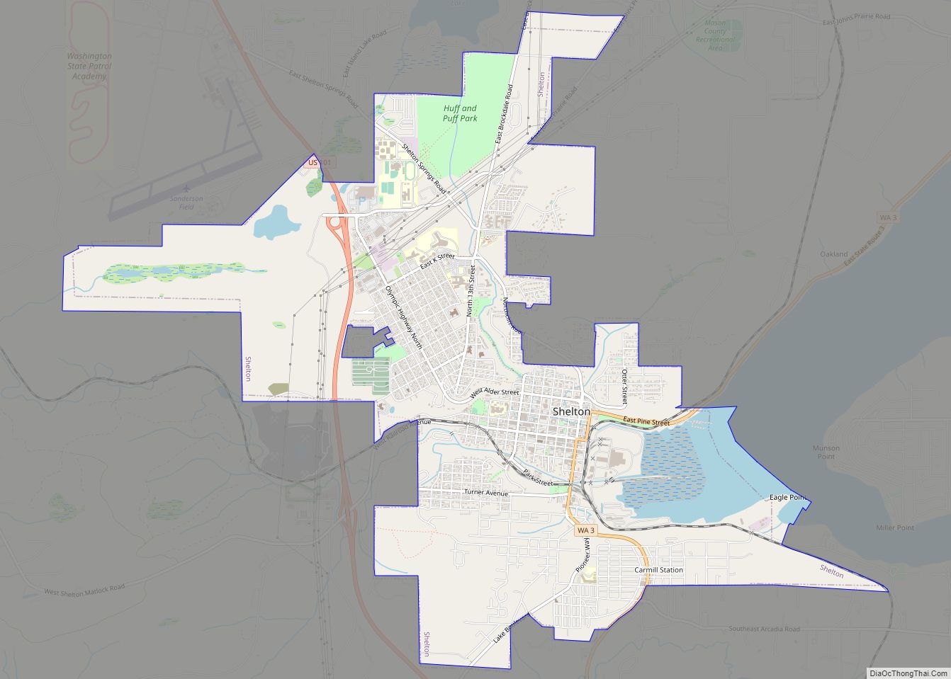
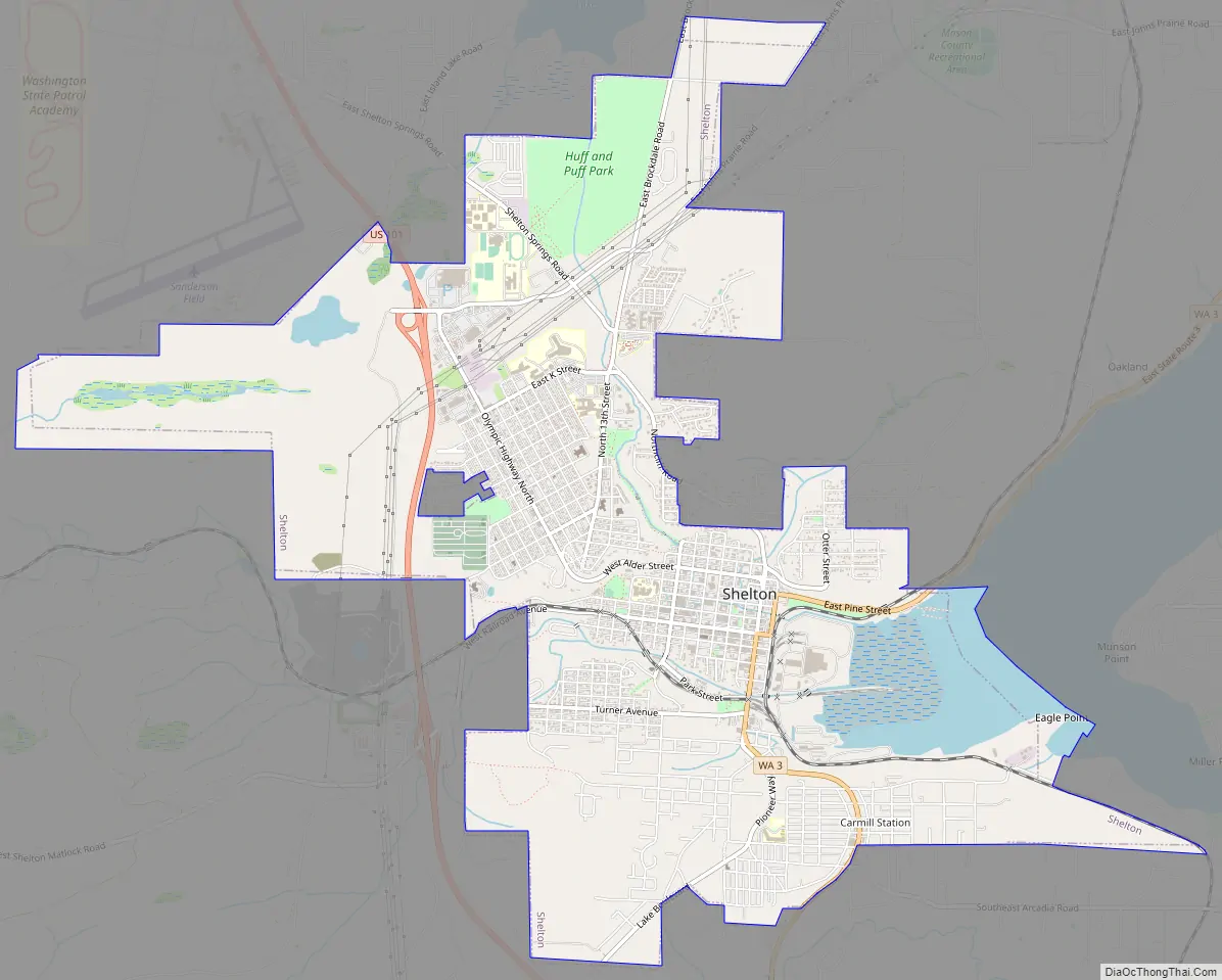
Shelton Road Map
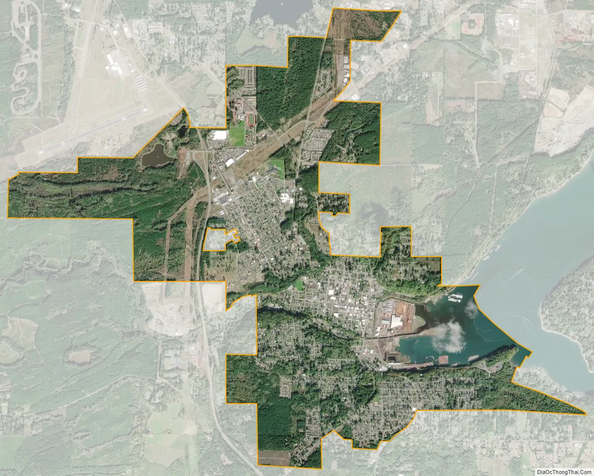
Shelton city Satellite Map
Geography
According to the United States Census Bureau, the city has a total area of 6.09 square miles (15.77 km), of which 5.76 square miles (14.92 km) is land and 0.33 square miles (0.85 km) is water.
Climate
With extremely precipitous rainfall in winter and dry summer of less than 33 mm in the driest month (less than 1/3 of the rainy season), Shelton has a warm summer Mediterranean climate (Köppen: Csb) with cold winters, similar to the larger cities of the Pacific Northwest.
See also
Map of Washington State and its subdivision:- Adams
- Asotin
- Benton
- Chelan
- Clallam
- Clark
- Columbia
- Cowlitz
- Douglas
- Ferry
- Franklin
- Garfield
- Grant
- Grays Harbor
- Island
- Jefferson
- King
- Kitsap
- Kittitas
- Klickitat
- Lewis
- Lincoln
- Mason
- Okanogan
- Pacific
- Pend Oreille
- Pierce
- San Juan
- Skagit
- Skamania
- Snohomish
- Spokane
- Stevens
- Thurston
- Wahkiakum
- Walla Walla
- Whatcom
- Whitman
- Yakima
- Alabama
- Alaska
- Arizona
- Arkansas
- California
- Colorado
- Connecticut
- Delaware
- District of Columbia
- Florida
- Georgia
- Hawaii
- Idaho
- Illinois
- Indiana
- Iowa
- Kansas
- Kentucky
- Louisiana
- Maine
- Maryland
- Massachusetts
- Michigan
- Minnesota
- Mississippi
- Missouri
- Montana
- Nebraska
- Nevada
- New Hampshire
- New Jersey
- New Mexico
- New York
- North Carolina
- North Dakota
- Ohio
- Oklahoma
- Oregon
- Pennsylvania
- Rhode Island
- South Carolina
- South Dakota
- Tennessee
- Texas
- Utah
- Vermont
- Virginia
- Washington
- West Virginia
- Wisconsin
- Wyoming