| Name: | Mathews County |
|---|---|
| FIPS code: | 51-115 |
| State: | Virginia |
| Founded: | 1791 |
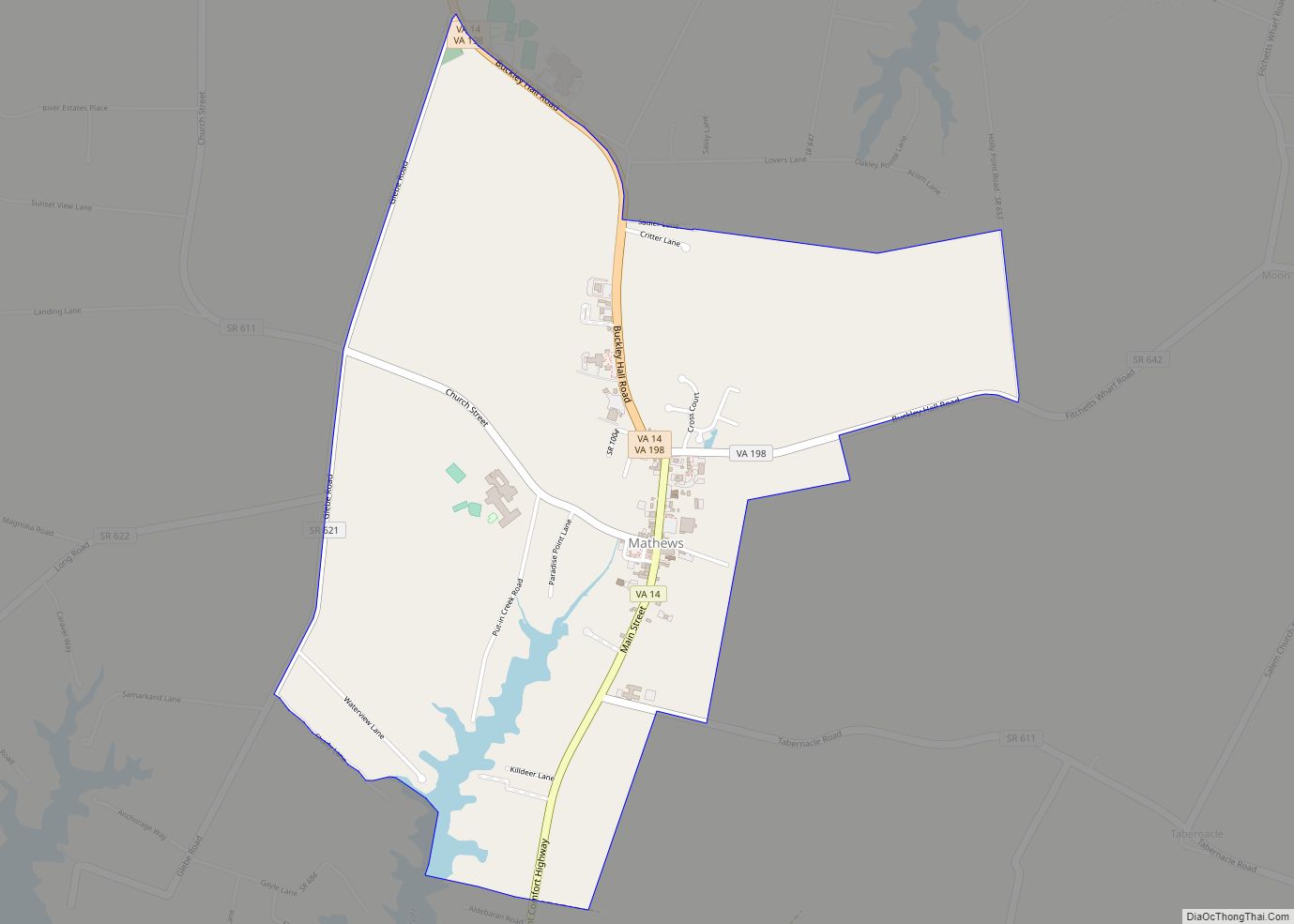
| Seat: | Mathews |
| Total Area: | 252 sq mi (650 km²) |
| Land Area: | 86 sq mi (220 km²) |
| Total Population: | 8,533 |
| Population Density: | 34/sq mi (13/km²) |
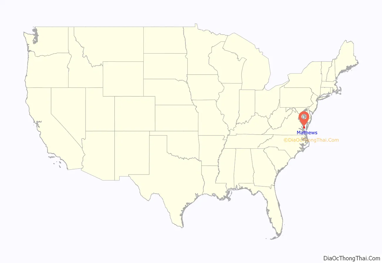
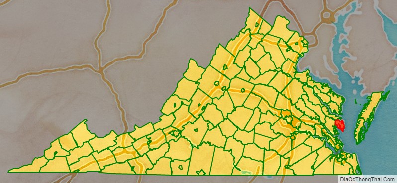
Mathews County location map. Where is Mathews County?
History
During Virginia’s colonial era, the area that later became Mathews County was part of Gloucester County. In 1691, the Virginia General Assembly had directed that each county designate an official port-of-entry. Established around 1700, the community of Westville was located along Put-in Creek, a tidal tributary of Virginia’s East River feeding into Mobjack Bay, which was a tributary of the Chesapeake Bay.
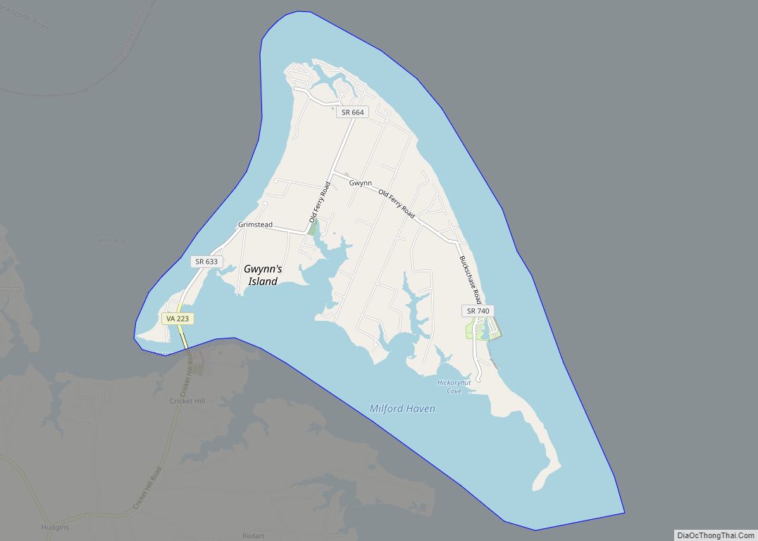
In 1776 during the American Revolutionary War, Virginia’s last Royal Governor, Lord Dunmore, left Virginia after pushed to the southeast to Gwynn’s Island by General Andrew Lewis and the Continental Army. General Lewis’ forces bombarded Gwynn’s Island from Fort Cricket Hill.
In 1791, after Virginia gained its independence from Great Britain, the Virginia General Assembly split Gloucester county and created Mathews County. The county was named for Brigadier General Thomas Mathews, then speaker of the Virginia House of Delegates. Westville was designated at the county seat (later it became known variously as Mathews Court House or simply Mathews).
Seaborne commerce, fishing and oyster farming had always been important in the area and Old Point Comfort Lighthouse was built in 1802 to guide vessels into the Hampton Roads seaport (along with the older lighthouse at Cape Henry). Two additional lighthouses were built slightly later: New Point Comfort Light and Smith Point Light. During the War of 1812, British vessels anchored in Hampton Roads and raided adjacent areas.
Farming was important to the 19th century economy, and early in the century Edmund Ruffin introduced the use of limestone marl as fertilizer on fields worn out from tobacco crops. Two Mathews County men implicated in Gabriel’s Rebellion in 1802 were sentenced to transportation out of the Commonwealth. In a lawsuit begun in 1806, Jackey Wright of Mathews County was granted her freedom from prominent landowner Holder Hudgins due to her grandmother’s Native American ancestry in one of the last cases decided by Judge George Wythe, with a Virginia Supreme Court opinion by St. George Tucker.
During the American Civil War, many men from Mathews County enlisted in the Confederate Army. Some Union sympathizers petitioned President Abraham Lincoln for help, alleging that Confederate sympathizers had harassed them. Union forces by 1862 controlled the Hampton Roads area and in July 1862 a detachment of Pennsylvania cavalry arrived at Gloucester Court House, then went to Mathews to arrest Carter B. Hudgins, but were unsuccessful. Several other Union raids occurred beginning in September 1863, initially designed to disrupt Confederate salt works. However, in the October 1863 raid, Union General Wistar later reported some of his troops behaved very badly, and Sands Smith was executed after he shot a Union soldier attempting to confiscate his cow. His son and grandson would become prominent Mathews County officials by century’s end. Also, Miss Sally Louisa Tompkins, of a prominent Mathews family, went to Richmond, Virginia and established a private hospital for Confederate wounded, which achieved significant success, such that she was granted an officer’s commission on September 9, 1861, by Confederate President Jefferson Davis and continued to nurse the wounded until 1865.
In 1882–1886, complaints about out-of-state watermen dredging local oyster beds (and destroying young oysters) produced an “oyster war” during the administration of Virginia Governor William E. Cameron. Several offending boats were captured, but all but one of their watermen were from Virginia’s Eastern shore (across Chesapeake Bay)rather than from outside the Commonwealth.
During World War I, Mathews County greatly exceeded its quota of volunteers. In addition to fatalities, several men were disabled by gas attacks at the battlefront, and later relayed their stories. Many Mathews county seamen also served in the Merchant Marine. The war also changed economic relations within the county, for farm laborers could get better paying jobs in Hampton Roads or nearby cities.
As the Great Depression began, voters elected Emma Lee Smith White, wife of local physician Dr. Carl Clifford White, to represent them in the Virginia General Assembly. As a local insurance agent, among other jobs, she had other priorities after a hurricane and 100-year level flooding devastated Mathews County in August 1933. No woman again sat in the Virginia General Assembly for 21 years.
In October 2012, Hurricane Sandy also devastated Mathews County, and while rebuilding, officials decided to petition to have the town center declared a historic district. It received nomination from the Virginia Department of Historic Resources in 2016. The Mathews County Courthouse Square has been recognized as a National Historic District since 1977, and the Sibley’s and James Store Historic District (consisting of two 19th century general stores) has been recognized as a National Historic District since 2011.
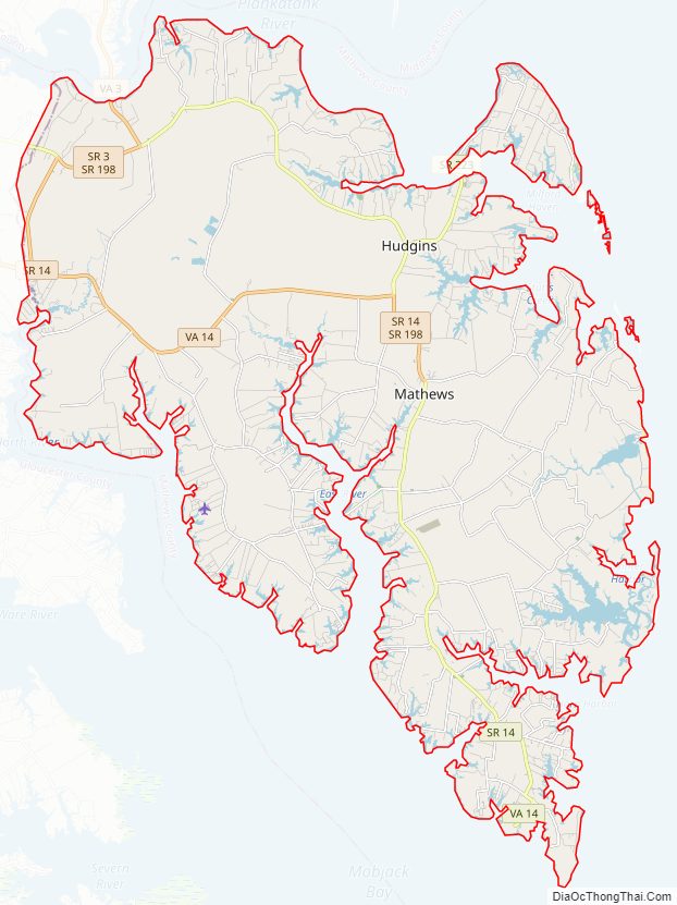
Mathews County Road Map
Geography
According to the U.S. Census Bureau, the county has a total area of 252 square miles (650 km), of which 86 square miles (220 km) is land and 166 square miles (430 km) (65.9%) is water. It is the second-smallest county in Virginia by land area.
Mathews County is perhaps best known for its miles of waterfront sites, as well as its prominent location on the Chesapeake Bay. Surrounded almost completely by water, it is bordered by Middlesex County to the north, separated by the Piankatank River and Gloucester County to the west. The southern side of the county borders Mobjack Bay.
Adjacent counties
- Middlesex County – north
- Gloucester County – south & west
- York County – south
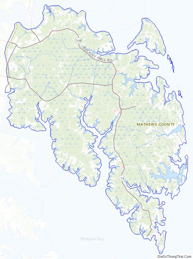
Mathews County Topographic Map
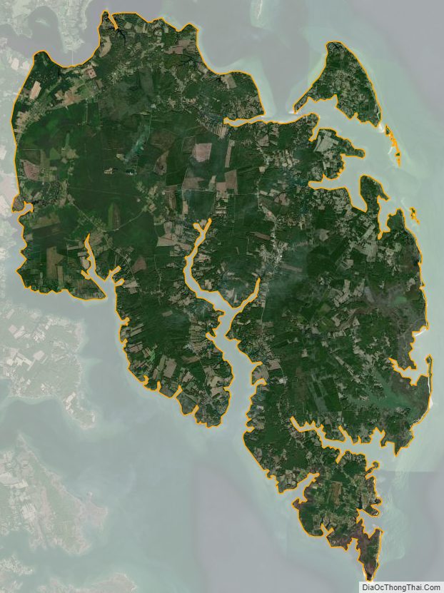
Mathews County Satellite Map
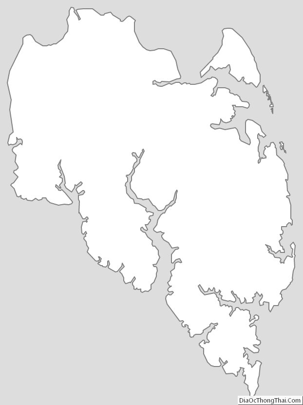
Mathews County Outline Map