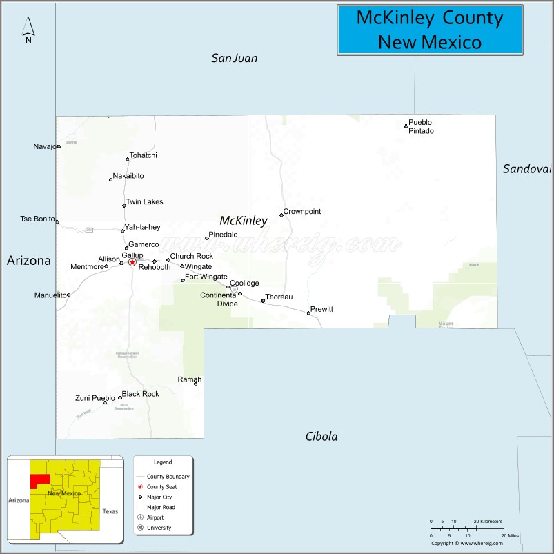
McKinley County is a county in the northwestern section of the U.S. state of New Mexico. As of the 2020 United States Census, its population was 71,367. Its county seat is Gallup. The county was created in 1901 and named for President William McKinley.
McKinley County is Gallup’s micropolitan statistical area.
| Name: | McKinley County |
|---|---|
| FIPS code: | 35-031 |
| State: | New Mexico |
| Founded: | January 1, 1901 |
| Named for: | William McKinley |
| Seat: | Gallup |
| Largest city: | Gallup |
| Total Area: | 5,455.5 sq mi (14,130 km²) |
| Land Area: | 5,450 sq mi (14,100 km²) |
| Total Population: | 71,780 |
| Population Density: | 13/sq mi (5/km²) |
| Time zone: | UTC−7 (Mountain) |
| Summer Time Zone (DST): | UTC−6 (MDT) |
| Website: | www.co.mckinley.nm.us |
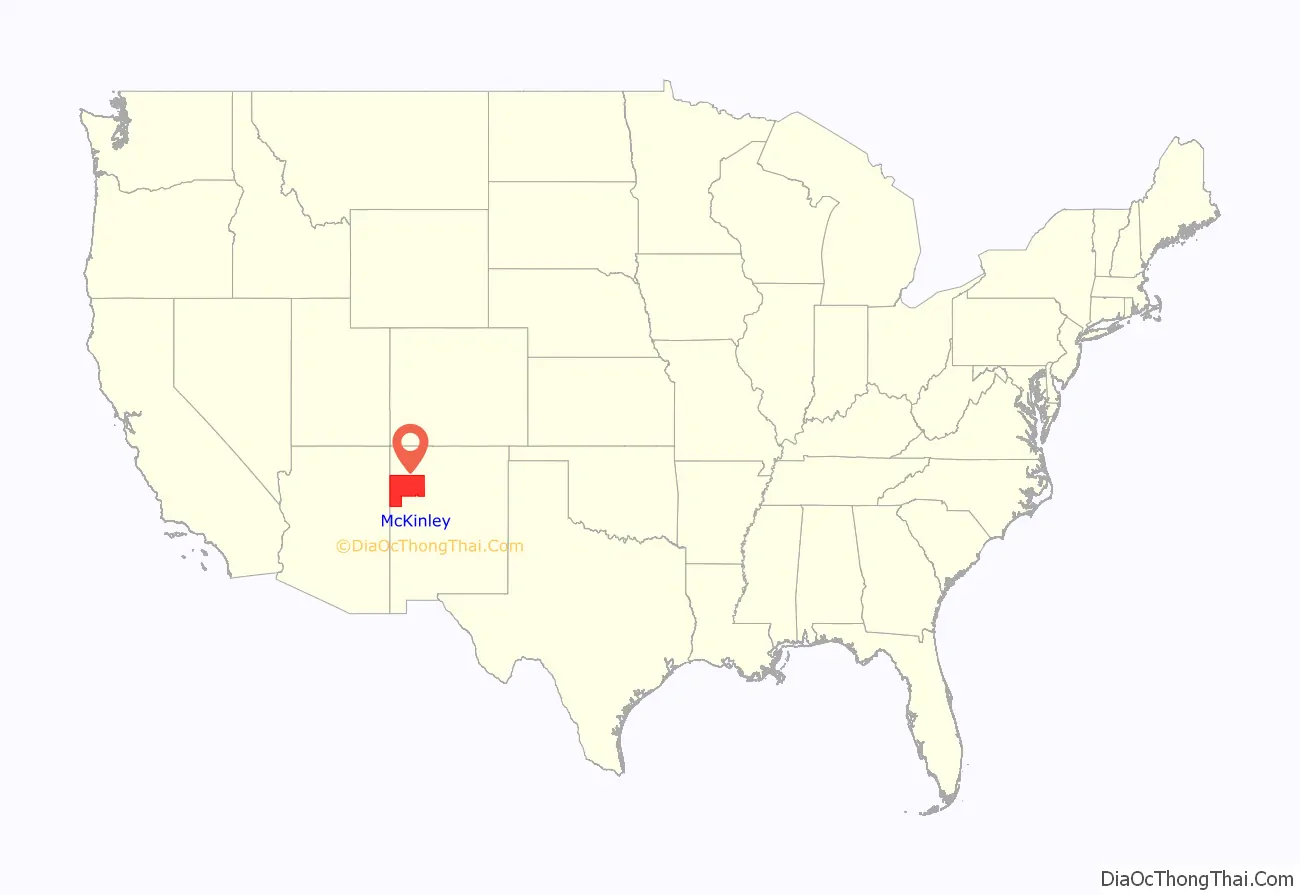
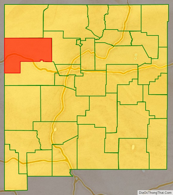
McKinley County location map. Where is McKinley County?
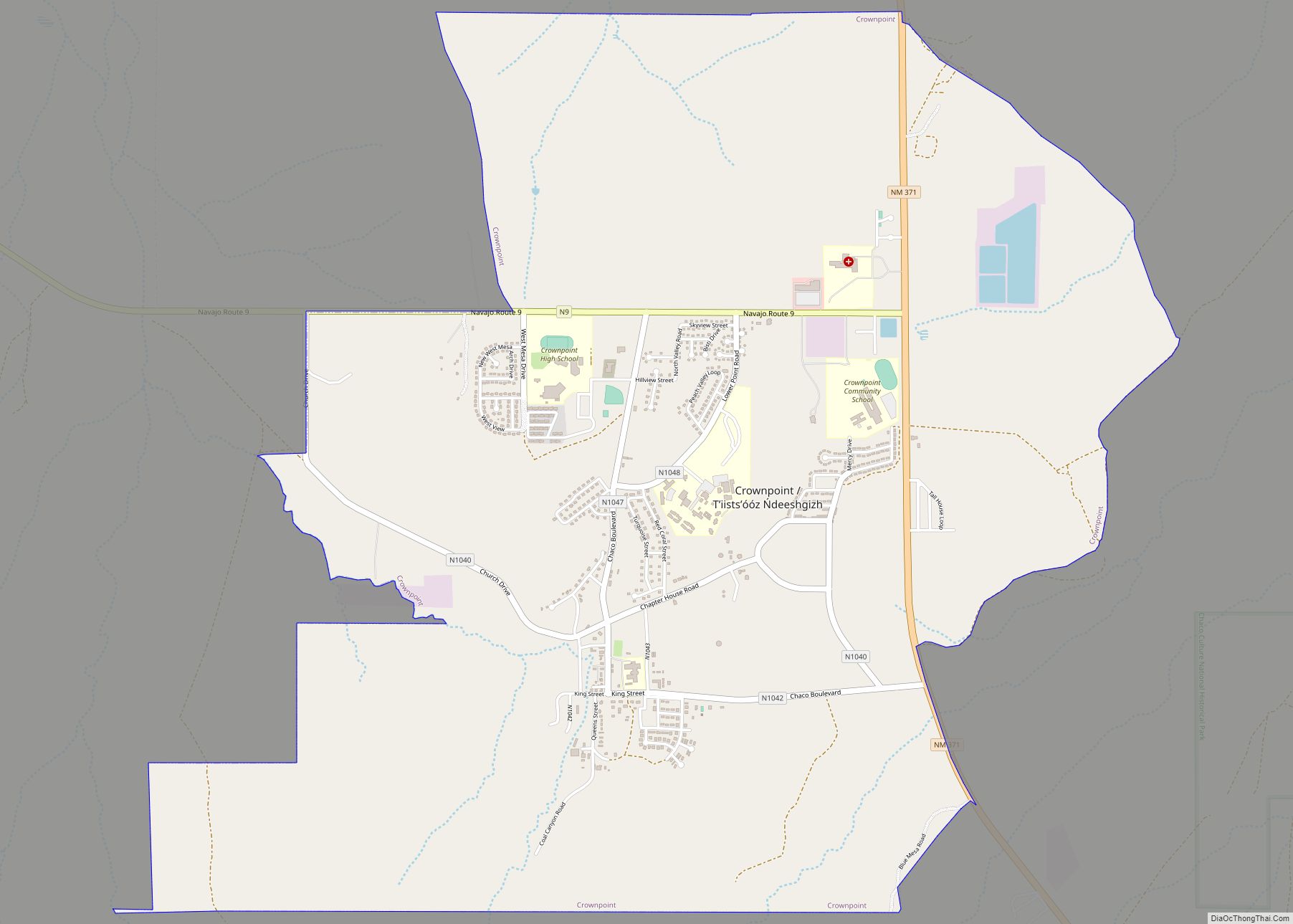
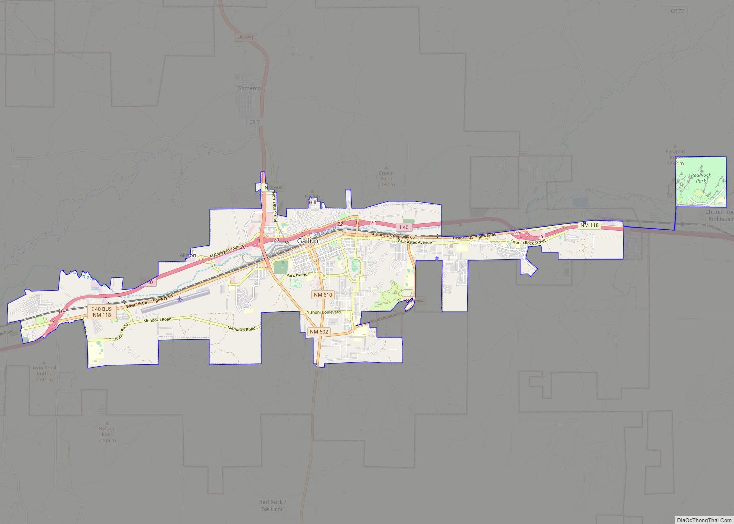
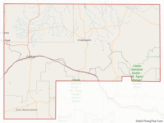
McKinley County Road Map
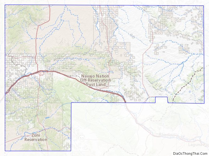
Geography
According to the U.S. Census Bureau, the county has a total area of 5,455 square miles (14,130 km), of which 5.5 sq mi (14 km) (0.1%) are covered by water.
Adjacent counties
- San Juan County – north
- Sandoval County – east
- Cibola County – south
- Apache County, Arizona – west
Major highways
- Interstate 40
- U.S. Route 491 (formerly )
- New Mexico Highway 264
- New Mexico Highway 371
- New Mexico Highway 602
National protected areas
- Chaco Culture National Historical Park (part)
- Cibola National Forest (part)
McKinley County Topographic Map
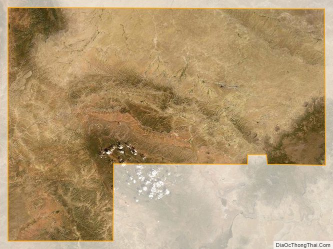
McKinley County Satellite Map
McKinley County Outline Map