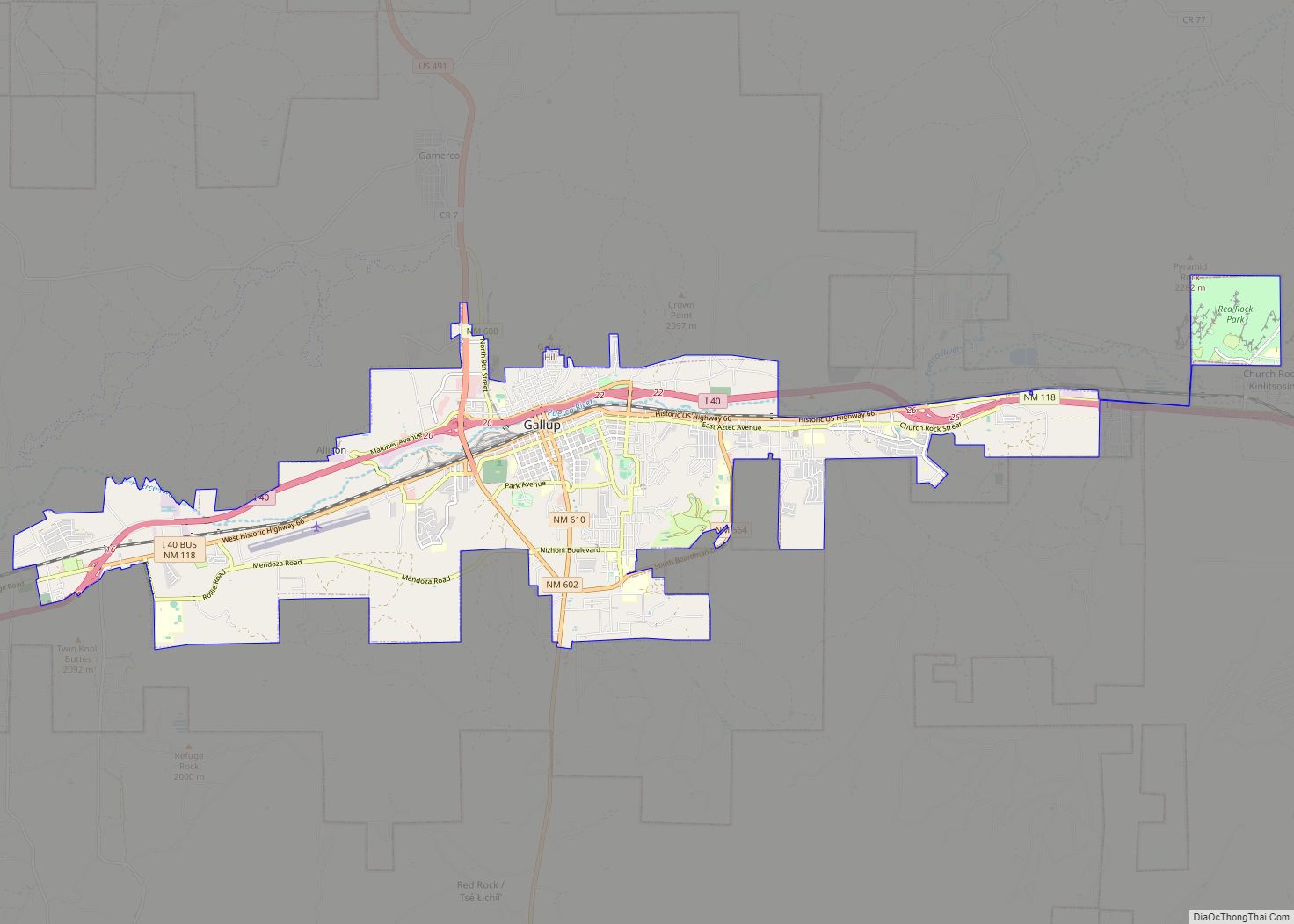
Gallup (/ˈɡæ.ləp/ Navajo: Naʼnízhoozhí) /nɑ̀ʔnɪ́ʒòːʒɪ́/; Zuni: Kalabwaki) is a city in McKinley County, New Mexico, United States, with a population of 21,899 as of the 2020 census. A substantial percentage of its population is Native American, with residents from the Navajo, Hopi, and Zuni tribes. Gallup is the county seat of McKinley County and the most populous city between Flagstaff and Albuquerque, along historic U.S. Route 66.
The city was founded in 1881 as a railhead for the Atlantic and Pacific Railroad, and named after David Gallup, a paymaster for the railroad. It is on the Trails of the Ancients Byway, one of the designated New Mexico Scenic Byways. Because of the nearby rugged terrain, it was a popular location in the 1940s and 1950s for Hollywood Westerns.
| Name: | Gallup city |
|---|---|
| LSAD Code: | 25 |
| LSAD Description: | city (suffix) |
| State: | New Mexico |
| County: | McKinley County |
| Founded: | 1881 |
| Elevation: | 6,468 ft (1,971 m) |
| Land Area: | 20.19 sq mi (52.29 km²) |
| Water Area: | 0.00 sq mi (0.01 km²) |
| Population Density: | 1,084.65/sq mi (418.78/km²) |
| ZIP code: | 87301-87305 |
| Area code: | 505 |
| FIPS code: | 3528460 |
| GNISfeature ID: | 0902825 |
| Website: | www.gallupnm.gov |
Online Interactive Map
Click on ![]() to view map in "full screen" mode.
to view map in "full screen" mode.
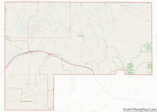
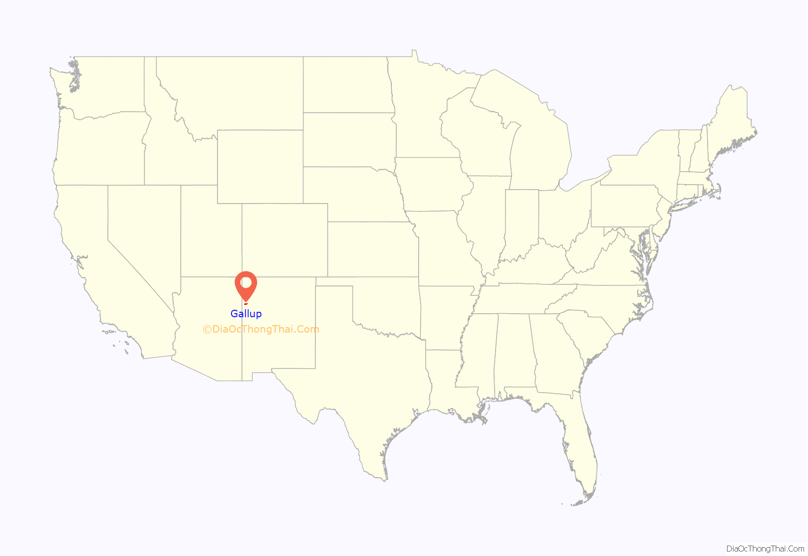
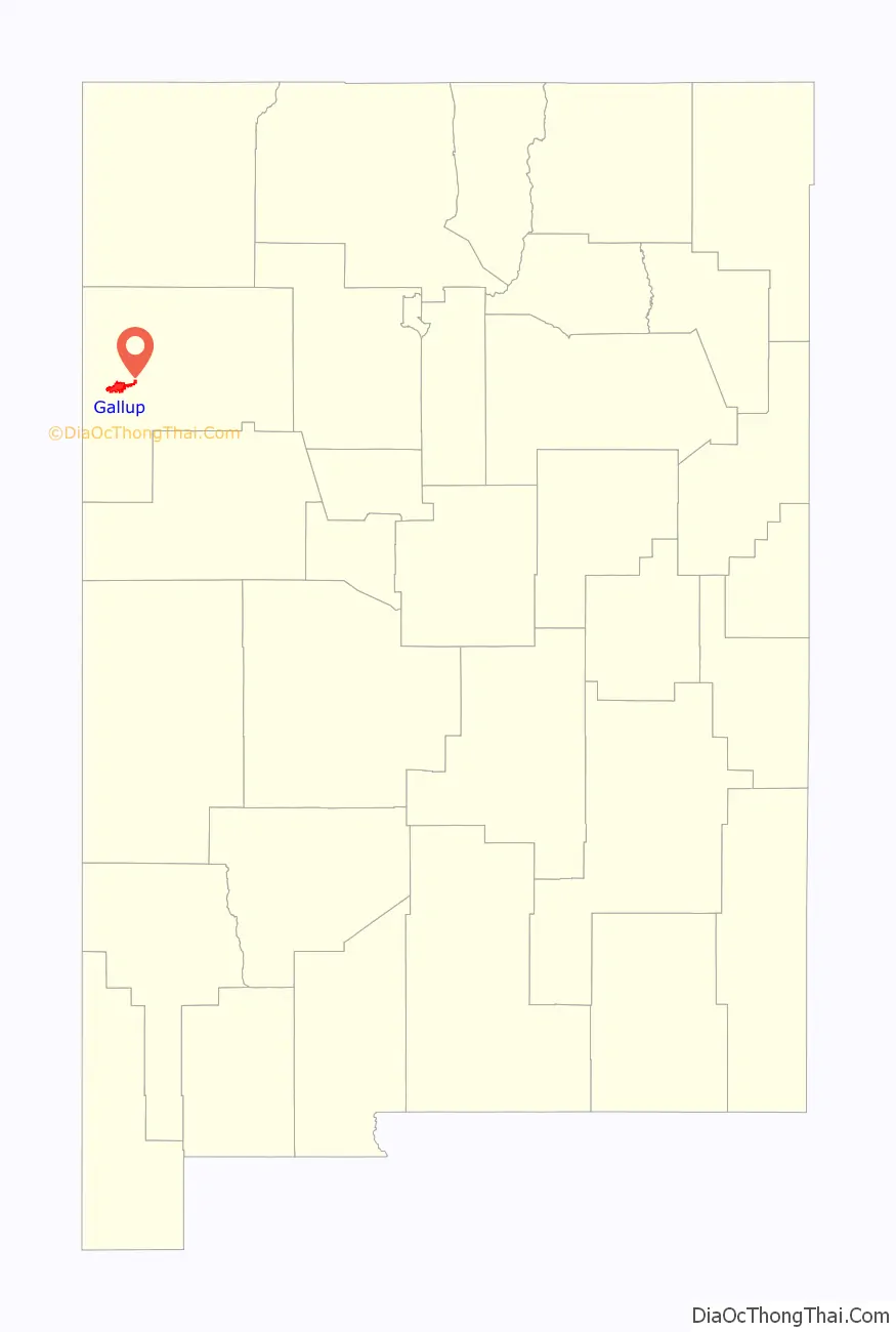
Gallup location map. Where is Gallup city?
History
Gallup was founded in 1881 as a railhead for the Atlantic and Pacific Railroad. The city was named after David Gallup, a paymaster for the Atlantic and Pacific Railroad. During World War II, the city fought successfully to prevent 800 Japanese American residents from being placed in wartime internment, the only New Mexico city to do so.
Gallup is known as the “Heart of Indian Country” or the “Heart of Indians” because it is on the edge of the Navajo reservation and is home to members of many other tribes, as well.
The City of Gallup and McKinley County are part of the ancestral, cultural and present day homeland of the Navajo (Diné) & the Zuni (A:shiwi).
Gallup Road Map
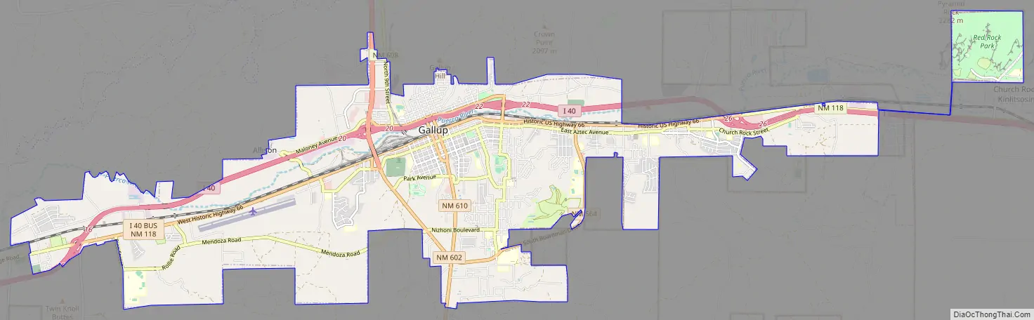
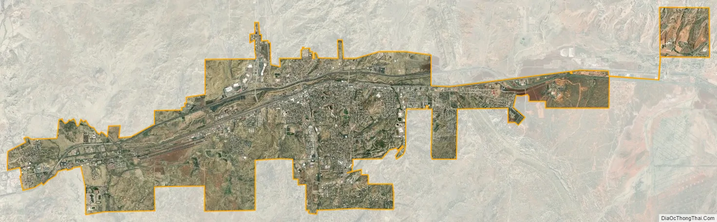
Gallup city Satellite Map
Geography
Gallup is located at 35°31′41″N 108°44′33″W / 35.52806°N 108.74250°W / 35.52806; -108.74250 (35.5280783, −108.7425843). According to the United States Census Bureau, the city has a total area of 13.4 square miles (35 km), all land.
See also
Map of New Mexico State and its subdivision: Map of other states:- Alabama
- Alaska
- Arizona
- Arkansas
- California
- Colorado
- Connecticut
- Delaware
- District of Columbia
- Florida
- Georgia
- Hawaii
- Idaho
- Illinois
- Indiana
- Iowa
- Kansas
- Kentucky
- Louisiana
- Maine
- Maryland
- Massachusetts
- Michigan
- Minnesota
- Mississippi
- Missouri
- Montana
- Nebraska
- Nevada
- New Hampshire
- New Jersey
- New Mexico
- New York
- North Carolina
- North Dakota
- Ohio
- Oklahoma
- Oregon
- Pennsylvania
- Rhode Island
- South Carolina
- South Dakota
- Tennessee
- Texas
- Utah
- Vermont
- Virginia
- Washington
- West Virginia
- Wisconsin
- Wyoming