| Name: | Milam County |
|---|---|
| FIPS code: | 48-331 |
| State: | Texas |
| Founded: | 1837 |
| Named for: | Benjamin Rush Milam |
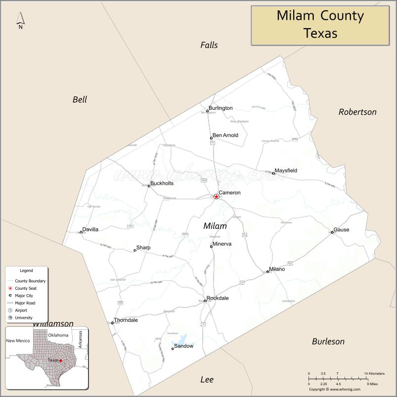
| Seat: | Cameron |
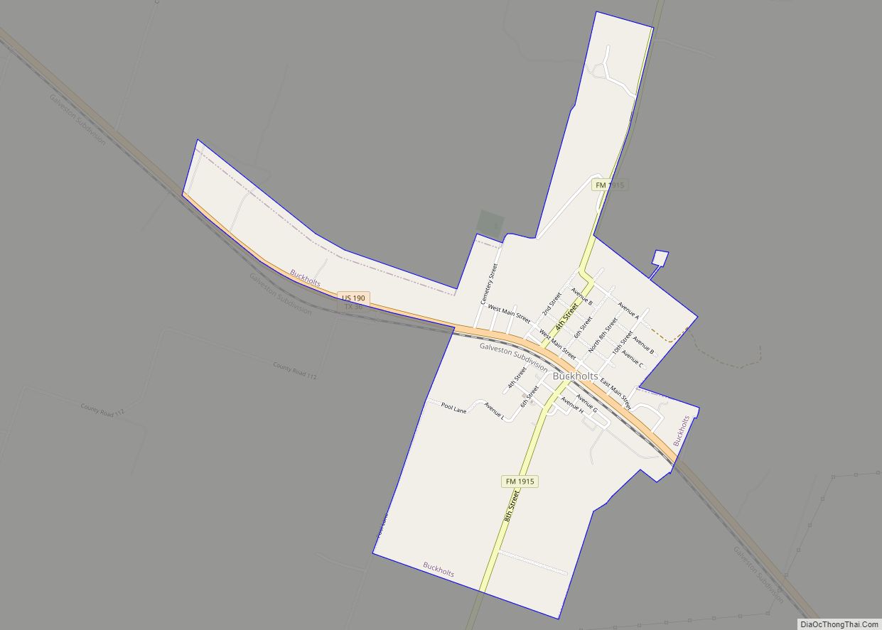
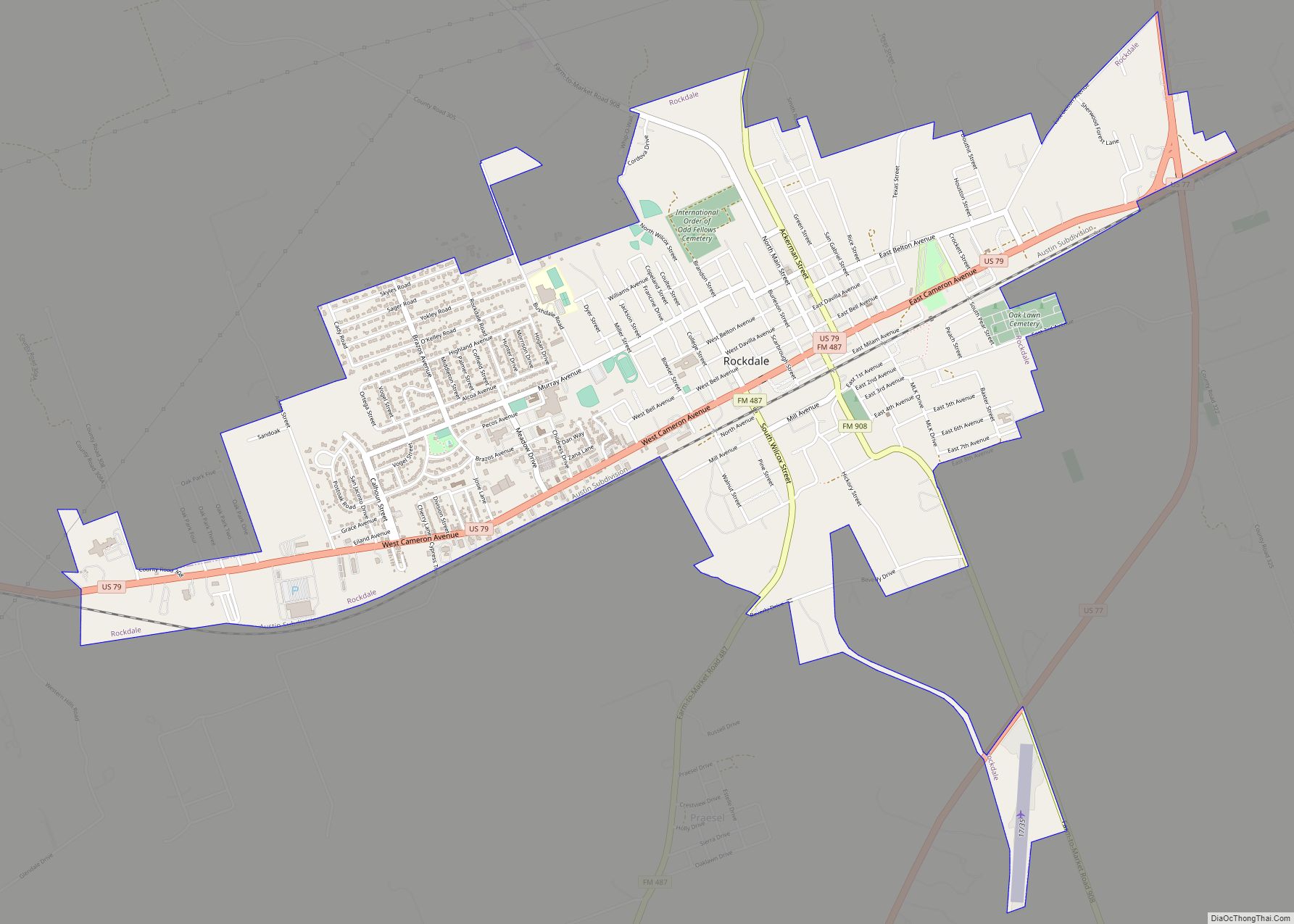
| Largest city: | Rockdale |
| Total Area: | 1,022 sq mi (2,650 km²) |
| Land Area: | 1,017 sq mi (2,630 km²) |
| Total Population: | 24,754 |
| Population Density: | 24/sq mi (9.4/km²) |
| Time zone: | UTC−6 (Central) |
| Summer Time Zone (DST): | UTC−5 (CDT) |
| Website: | www.milamcounty.net |
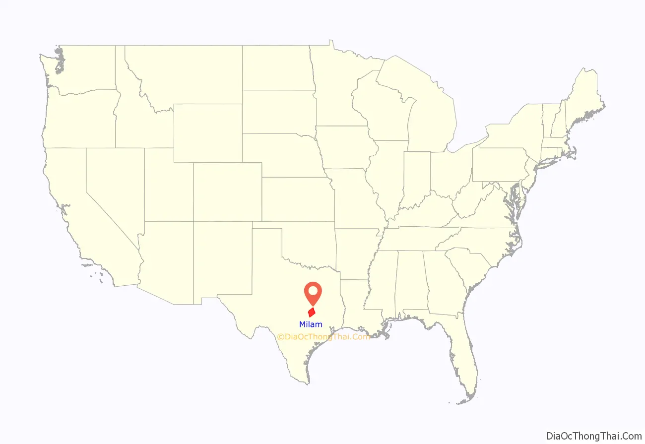
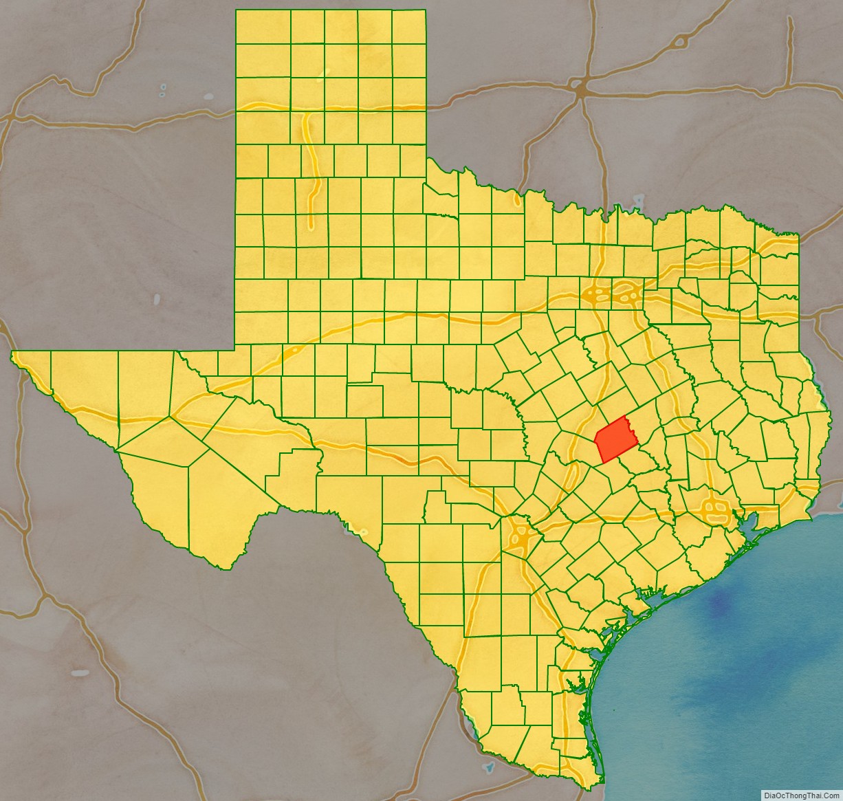
Milam County location map. Where is Milam County?
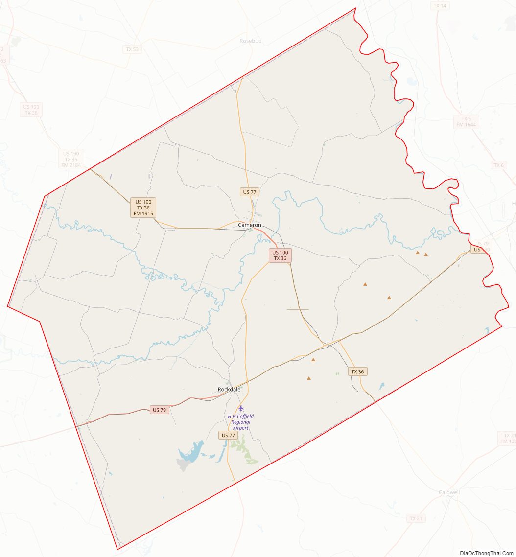
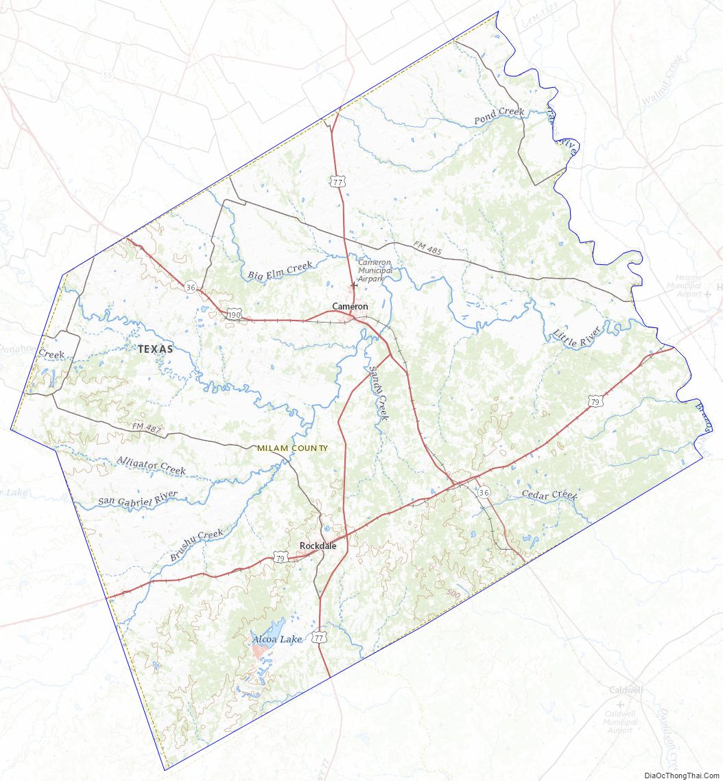
Milam County Road Map
Geography
According to the U.S. Census Bureau, the county has a total area of 1,022 square miles (2,650 km), of which 1,017 sq mi (2,630 km) are land and 4.8 sq mi (12 km) (0.5%) are covered by water.
Major highways
- U.S. Highway 77
- U.S. Highway 79
- U.S. Highway 190
- State Highway 36
Adjacent counties
- Falls County (north)
- Robertson County (northeast)
- Burleson County (southeast)
- Lee County (south)
- Williamson County (southwest)
- Bell County (northwest)
Milam County Topographic Map
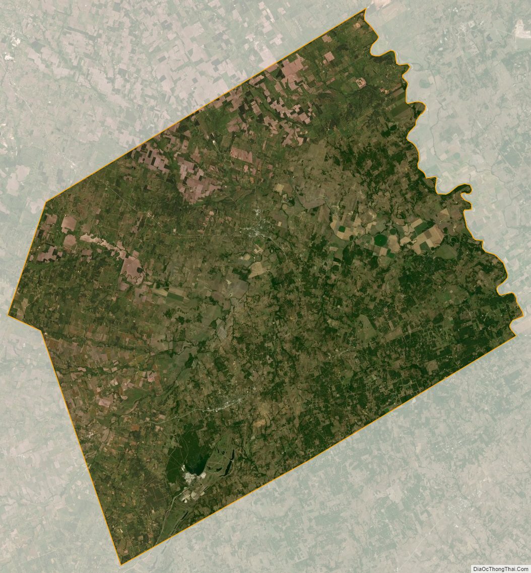
Milam County Satellite Map
Milam County Outline Map