| Name: | Mineral County |
|---|---|
| FIPS code: | 08-079 |
| State: | Colorado |
| Founded: | March 27, 1893 |
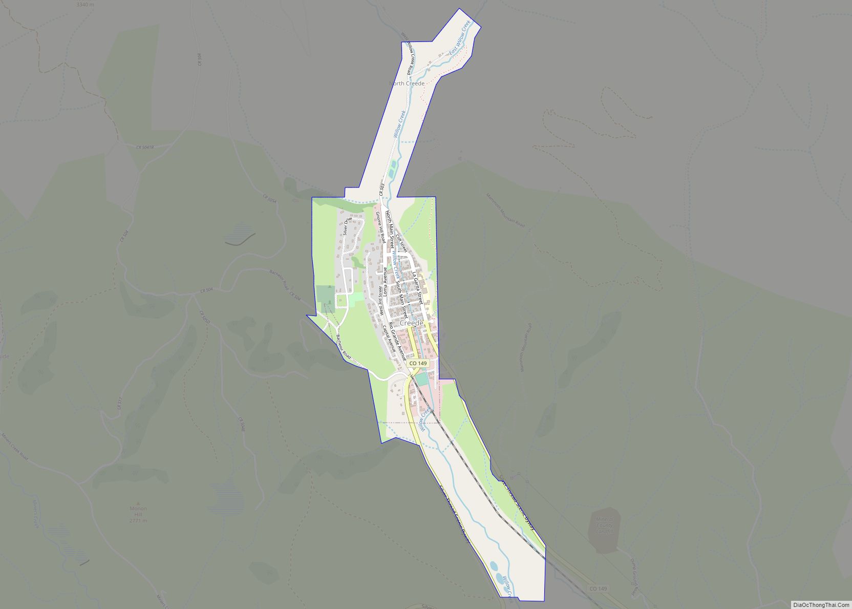
| Seat: | Creede |
| Largest town: | Creede |
| Total Area: | 878 sq mi (2,270 km²) |
| Land Area: | 876 sq mi (2,270 km²) |
| Total Population: | 924 |
| Population Density: | 1.0/sq mi (0.4/km²) |
| Time zone: | UTC−7 (Mountain) |
| Summer Time Zone (DST): | UTC−6 (MDT) |
| Website: | mineralcounty.colorado.gov |
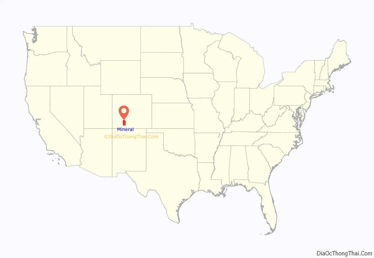
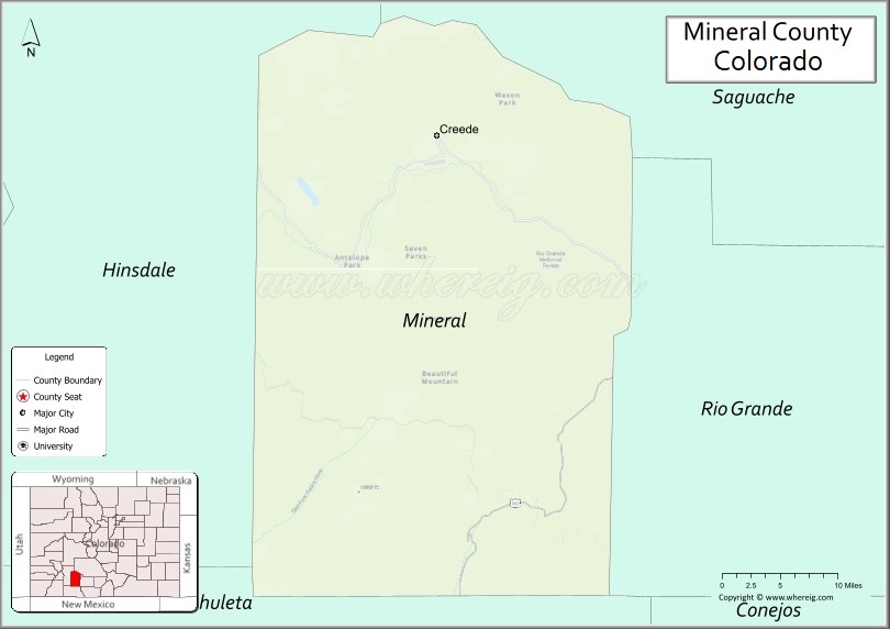
Mineral County location map. Where is Mineral County?
Mineral County Road Map
Geography
According to the U.S. Census Bureau, the county has a total area of 878 square miles (2,270 km), of which 876 square miles (2,270 km) is land and 2.0 square miles (5.2 km) (0.2%) is water.
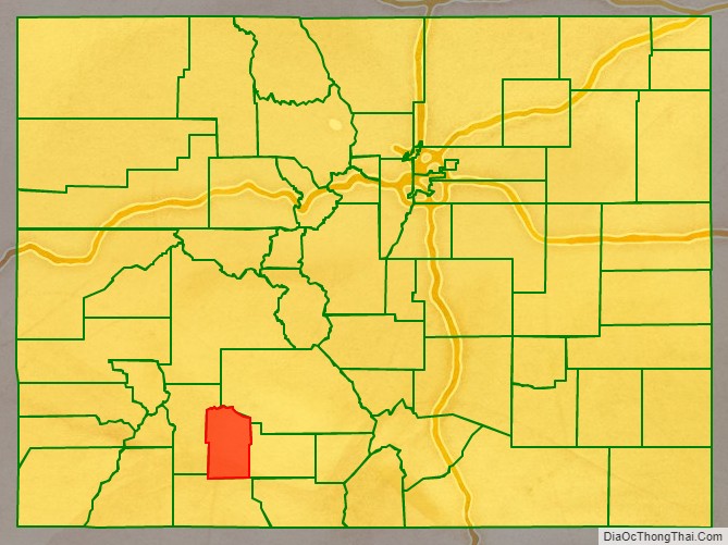
Adjacent counties
- Saguache County – northeast
- Rio Grande County – east
- Archuleta County – south
- Hinsdale County – west
Major Highways
- U.S. Highway 160
- State Highway 149
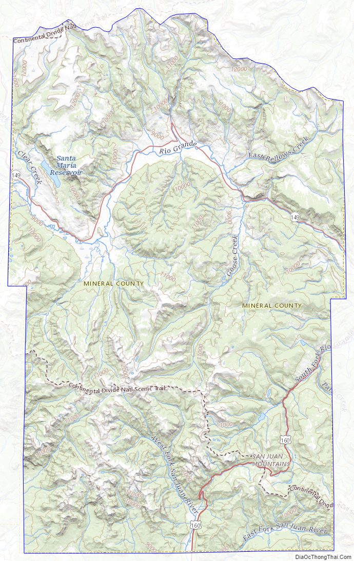
National protected areas
- Rio Grande National Forest
- San Juan National Forest
- La Garita Wilderness
- Weminuche Wilderness
Trails and byways
- Colorado Trail
- Continental Divide National Scenic Trail
- Lake Fork National Recreation Trail
- Silver Thread Scenic Byway
Mineral County Topographic Map
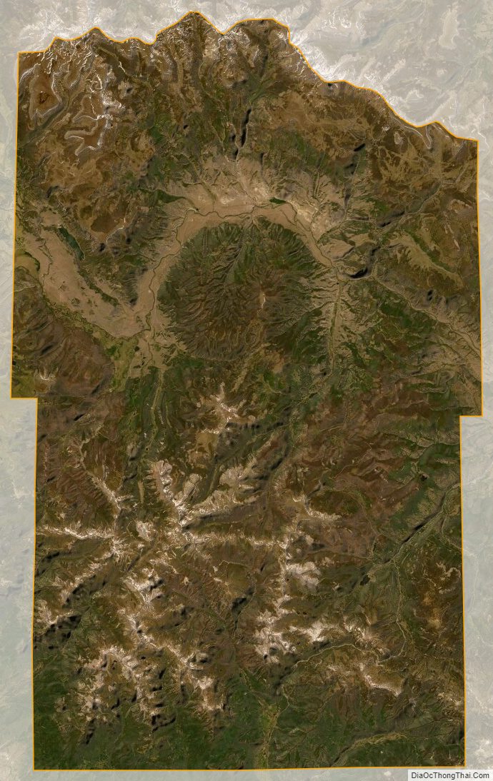
Mineral County Satellite Map
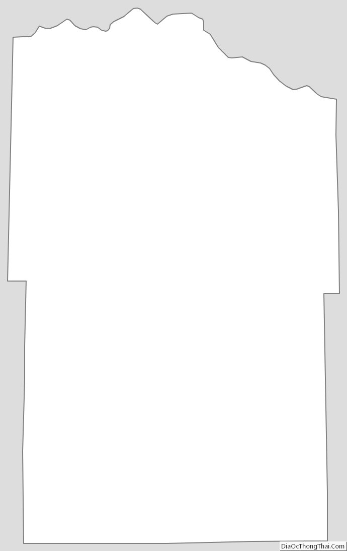
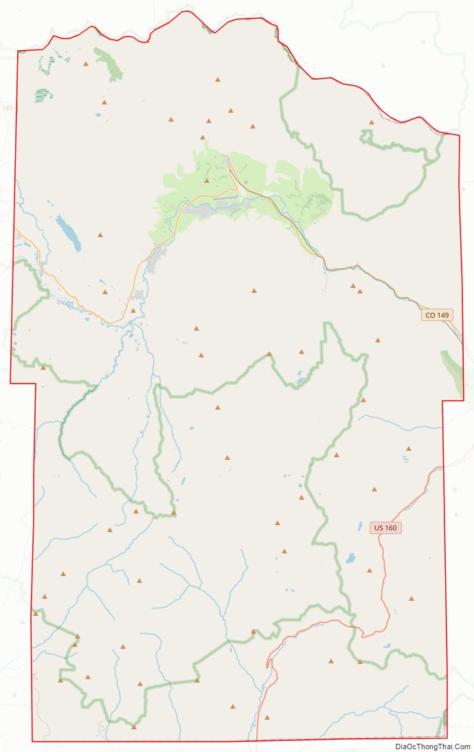
Mineral County Outline Map