| Name: | Hinsdale County |
|---|---|
| FIPS code: | 08-053 |
| State: | Colorado |
| Founded: | February 10, 1874 |
| Named for: | George A. Hinsdale |
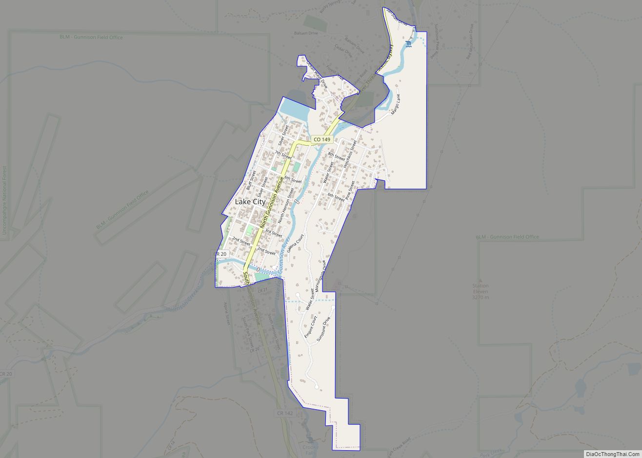
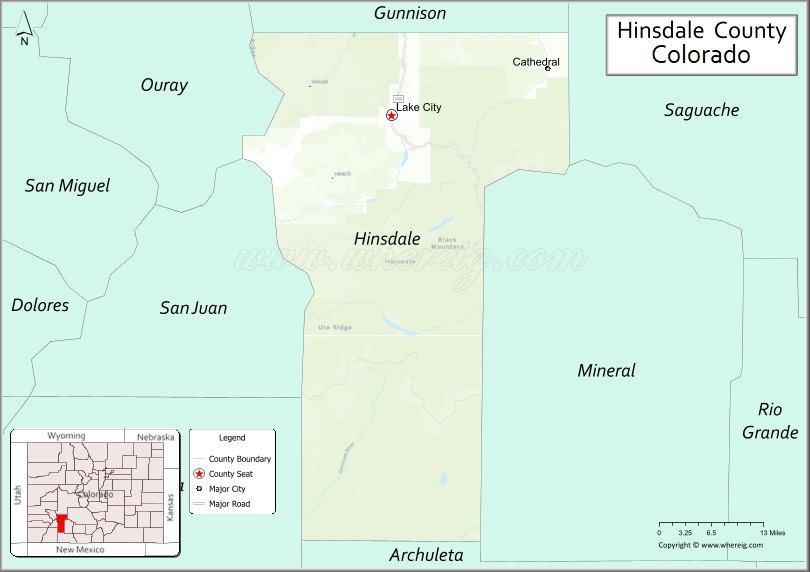
| Seat: | Lake City |
| Largest town: | Lake City |
| Total Area: | 1,123 sq mi (2,910 km²) |
| Land Area: | 1,117 sq mi (2,890 km²) |
| Total Population: | 781 |
| Population Density: | 0.7/sq mi (0.3/km²) |
| Time zone: | UTC−7 (Mountain) |
| Summer Time Zone (DST): | UTC−6 (MDT) |
| Website: | hinsdalecounty.colorado.gov |
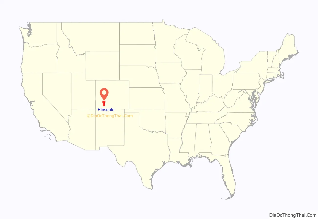
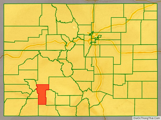
Hinsdale County location map. Where is Hinsdale County?
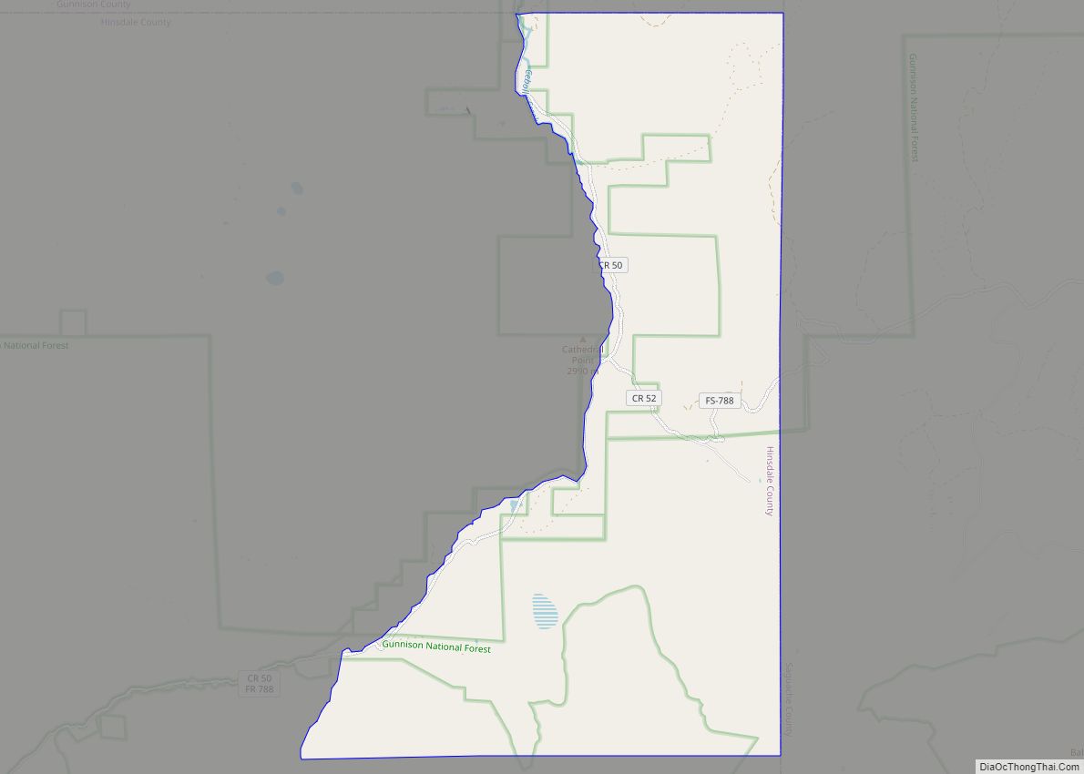
Hinsdale County Road Map
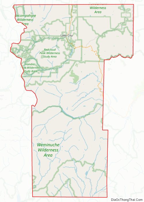
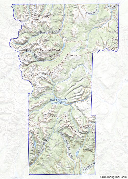
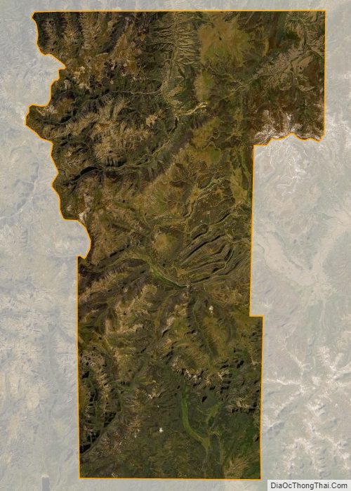
Geography
According to the U.S. Census Bureau, the county has a total area of 1,123 square miles (2,910 km), of which 1,117 square miles (2,890 km) is land and 5.9 square miles (15 km) (0.5%) is water.
Hinsdale County is one of the most remote counties in Colorado and the United States. The county is covered by mountains, including multiple fourteeners, and contains one of the largest roadless areas in the country. The continental divide crosses the county twice. Most of the county is divided among several different national forests and the Weminuche Wilderness area.
Adjacent counties
- Gunnison – north
- Saguache – northeast
- Mineral – east
- Archuleta – southeast
- La Plata – southwest
- San Juan – west
- Ouray – northwest
Major Highways
- State Highway 149
Hinsdale County Topographic Map
Hinsdale County Satellite Map
Hinsdale County Outline Map