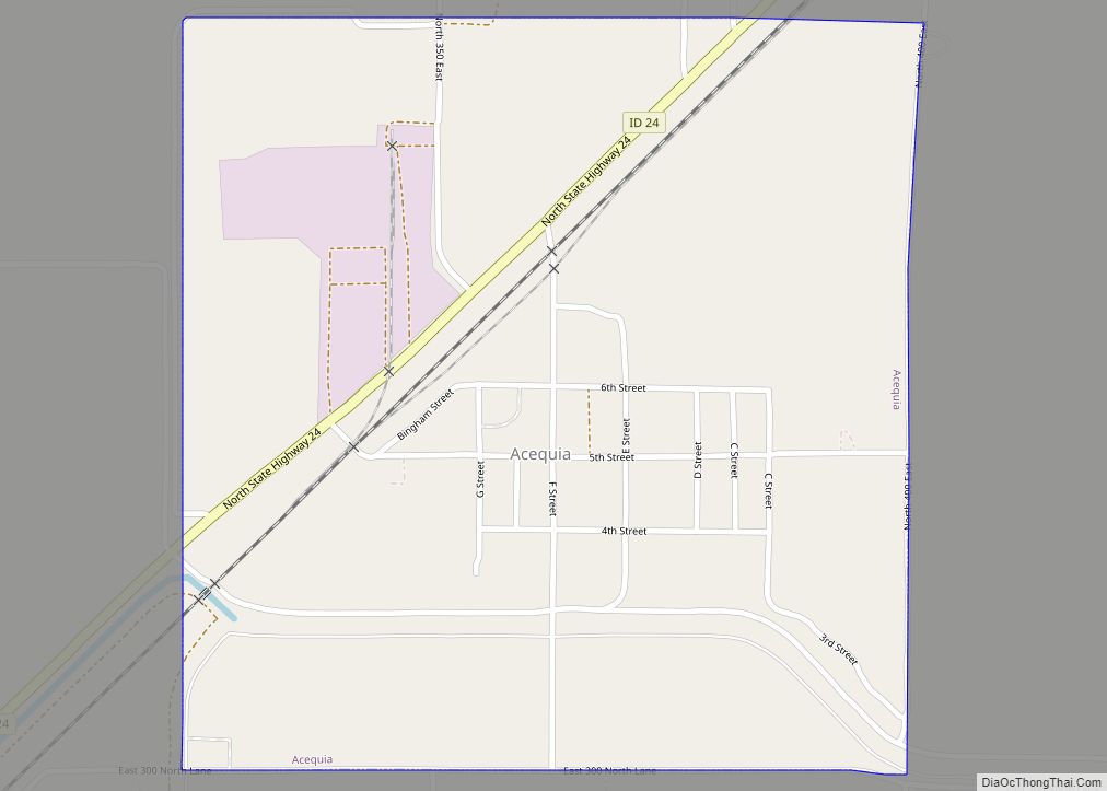
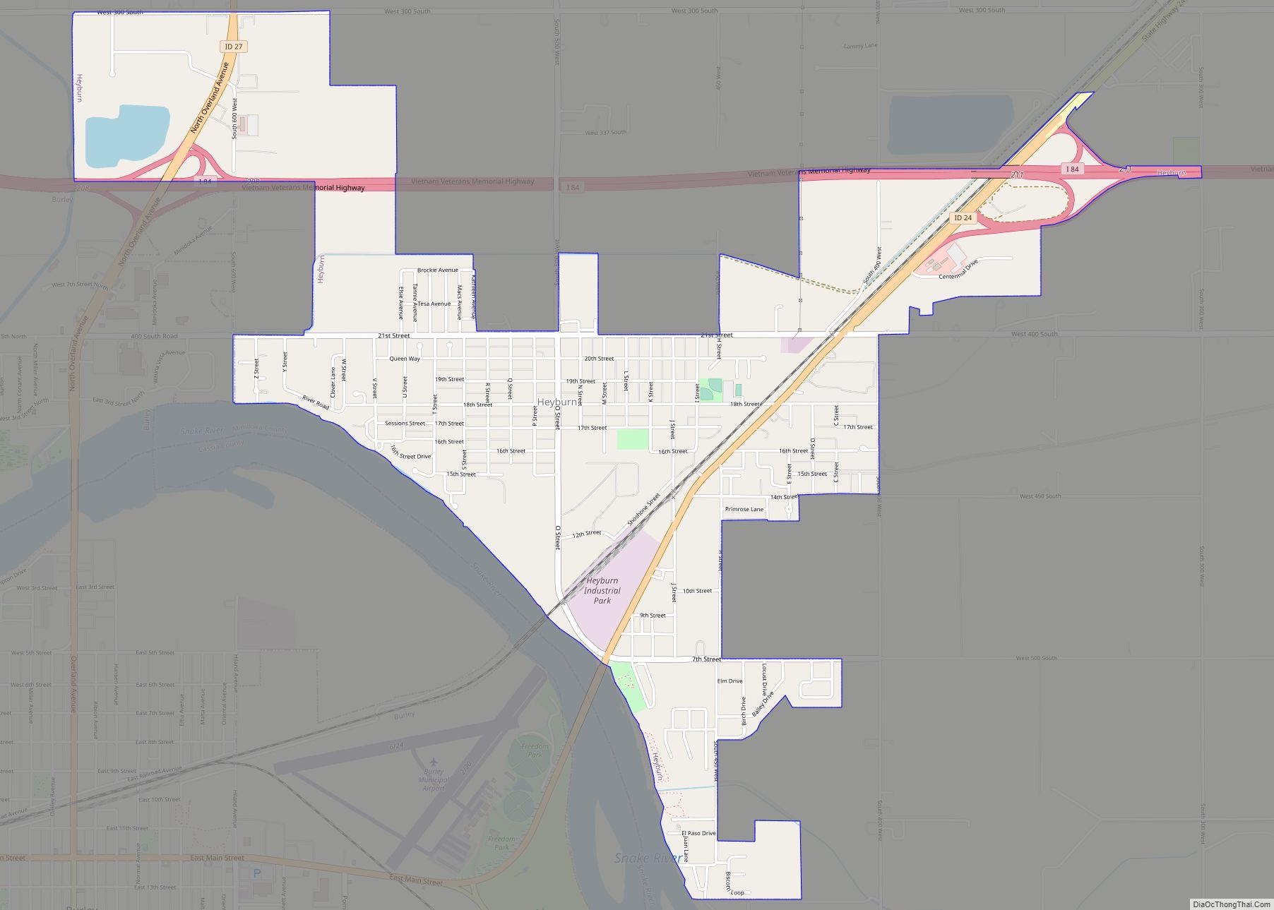
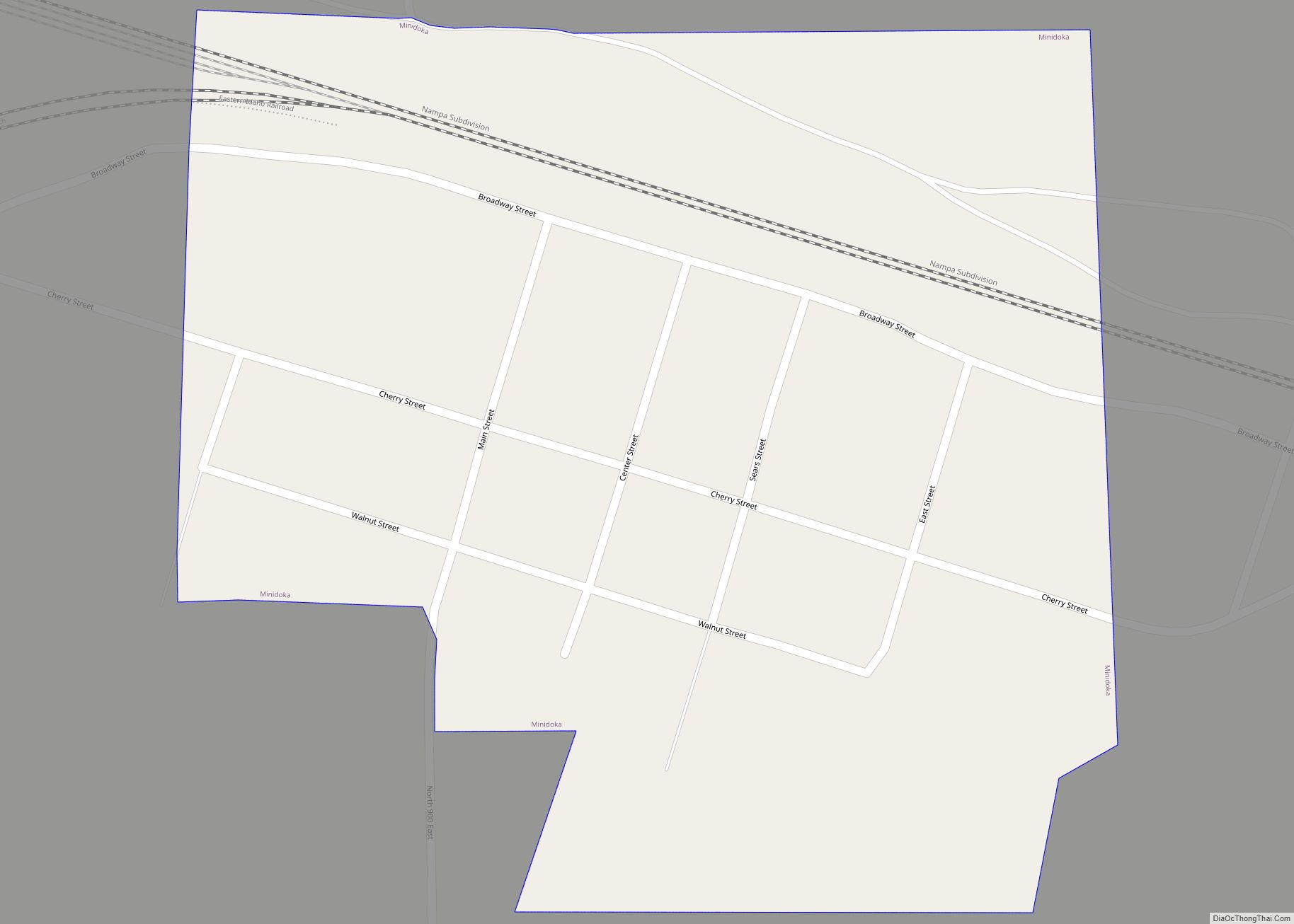
Minidoka County is a county located in the U.S. state of Idaho. As of the 2020 census, the population was 21,613. The county seat and largest city is Rupert.
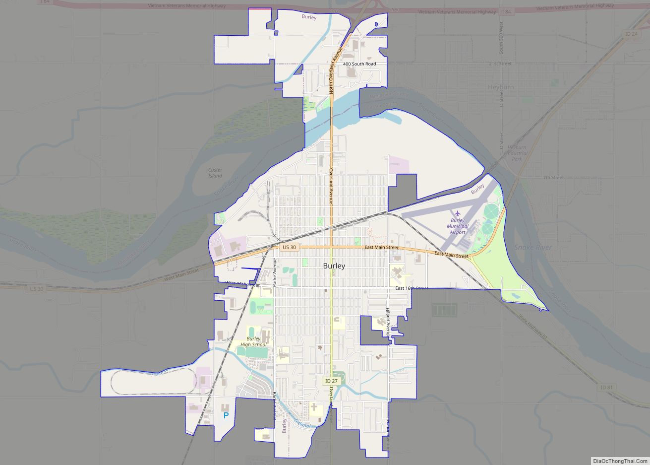
Minidoka County is part of the Burley, ID Micropolitan Statistical Area.
The name Minidoka is of Dakota Sioux origin meaning “a fountain or spring of water.” Minidoka was first used in 1883 as a name for the Union Pacific’s Oregon Short Line, a railroad spur in the middle of the Snake River Plain. The spur later became the site of a watering station along the line. The village of Minidoka grew up next to the station. The Minidoka name was then given to a reclamation project under then President Theodore Roosevelt which included the construction of the Minidoka Dam, completed in 1904. Minidoka National Historic Site (in adjacent Jerome County) was part of the original reclamation project and hence shares the name. Minidoka County was created by the Idaho Legislature on January 28, 1913, by a partition of Lincoln County.
Camp Rupert, west of Paul, was a prisoner of war (POW) camp during World War II.
| Name: | Minidoka County |
|---|---|
| FIPS code: | 16-067 |
| State: | Idaho |
| Founded: | January 28, 1913 |
| Named for: | Dakota Sioux word meaning “a fountain or spring of water.” |
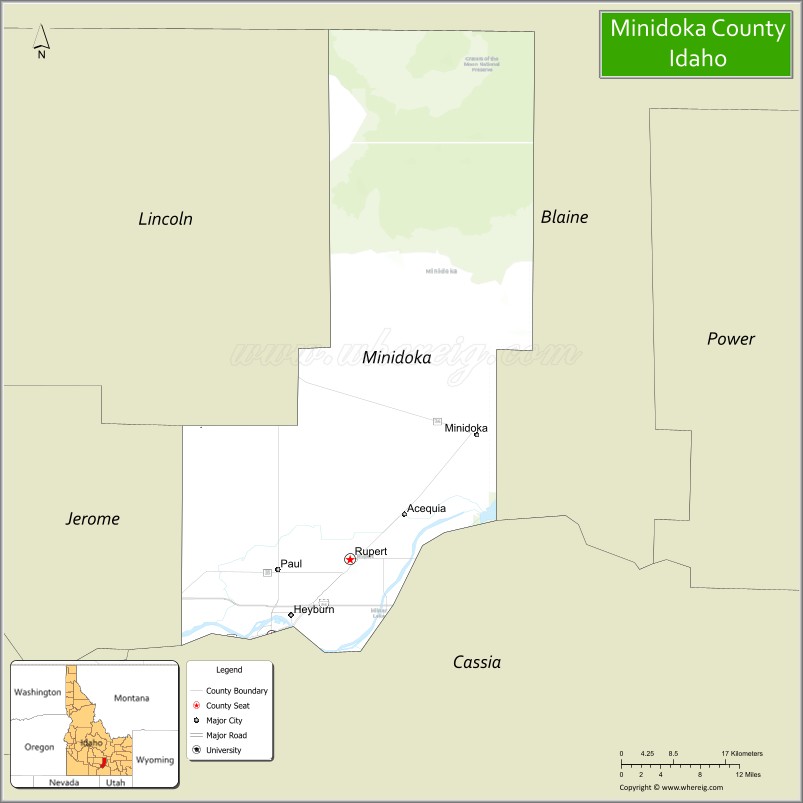
| Seat: | Rupert |
| Largest city: | Rupert |
| Total Area: | 763 sq mi (1,980 km²) |
| Land Area: | 758 sq mi (1,960 km²) |
| Total Population: | 21,613 |
| Population Density: | 28/sq mi (11/km²) |
| Time zone: | UTC−7 (Mountain) |
| Summer Time Zone (DST): | UTC−6 (MDT) |
| Website: | www.minidoka.id.us |
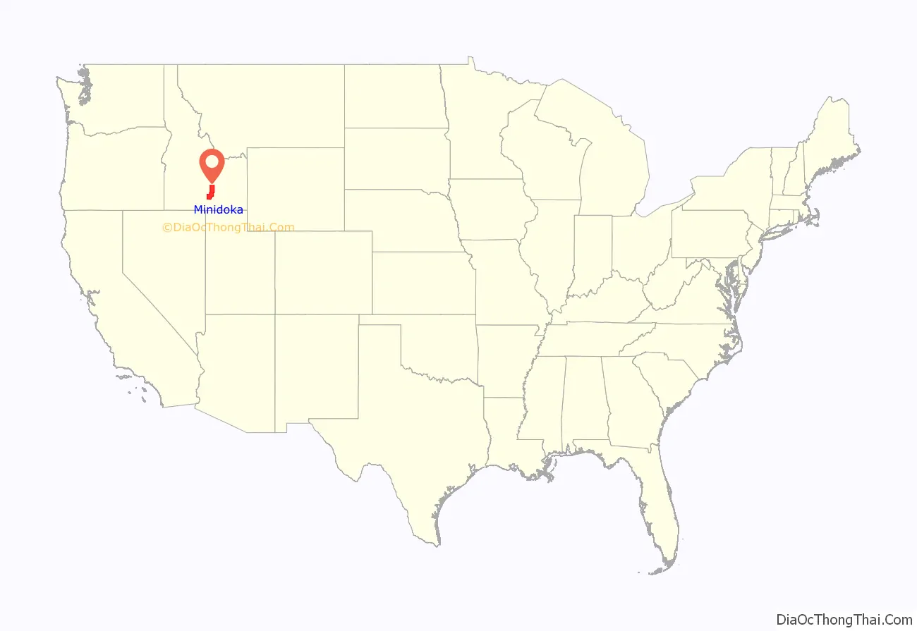
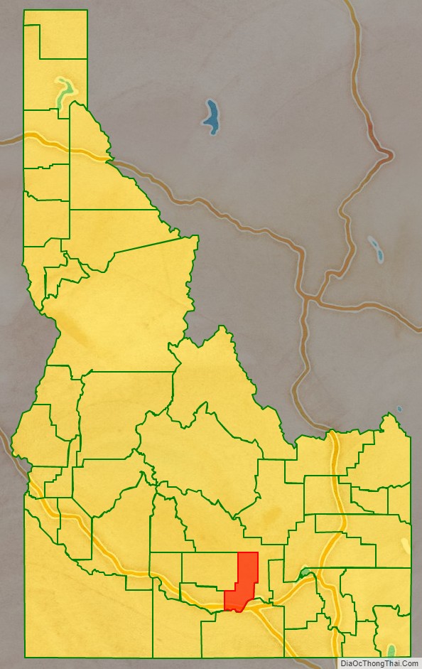
Minidoka County location map. Where is Minidoka County?
Minidoka County Road Map
Geography
According to the U.S. Census Bureau, the county has a total area of 763 square miles (1,980 km), of which 758 square miles (1,960 km) is land and 5.3 square miles (14 km) (0.7%) is water.
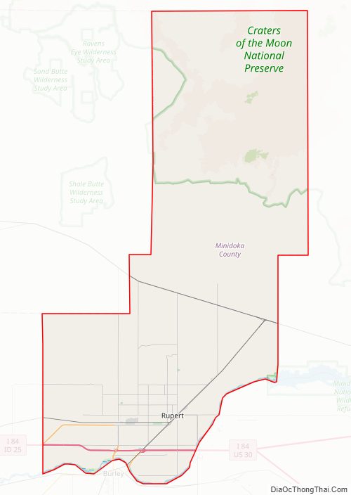
It is part of the Magic Valley region of the Snake River Plain. Irrigated farmland covers the southern part of the county, while lava beds cover the northern portion. The elevation is generally in the range of 4,200 feet (1,300 m) to 4,500 feet (1,400 m). The Snake River forms the county’s southern boundary.
Minidoka County Topographic Map
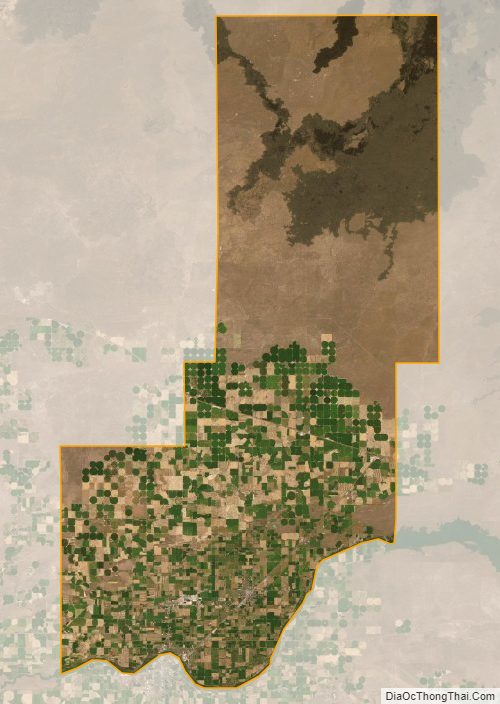
Minidoka County Satellite Map
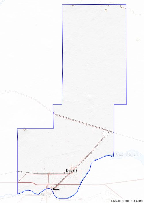
Minidoka County Outline Map