Heyburn is a city in Minidoka County, Idaho, United States. The population was 3,700 at the 2020 census, up from 3,089 in 2010. It is part of the Burley micropolitan area.
The city was named after Weldon B. Heyburn, a U.S. senator for Idaho from 1903 to 1912.
| Name: | Heyburn city |
|---|---|
| LSAD Code: | 25 |
| LSAD Description: | city (suffix) |
| State: | Idaho |
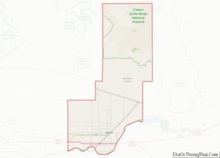
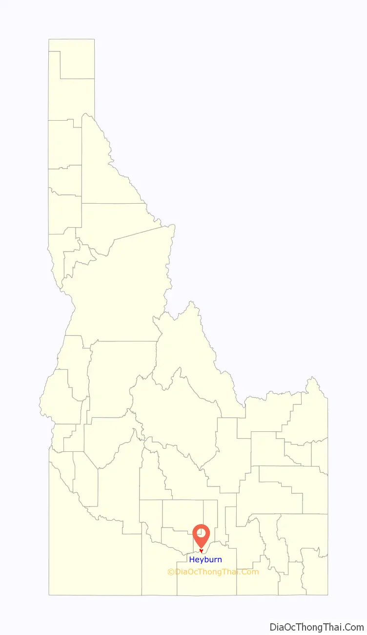
| County: | Minidoka County |
| Elevation: | 4,154 ft (1,266 m) |
| Total Area: | 2.66 sq mi (6.88 km²) |
| Land Area: | 2.61 sq mi (6.76 km²) |
| Water Area: | 0.04 sq mi (0.11 km²) |
| Total Population: | 3,700 |
| Population Density: | 1,416.5/sq mi (546.9/km²) |
| ZIP code: | 83336 |
| Area code: | 208, 986 |
| FIPS code: | 1637360 |
| GNISfeature ID: | 0396650 |
| Website: | heyburn.id.gov |
Online Interactive Map
Click on ![]() to view map in "full screen" mode.
to view map in "full screen" mode.
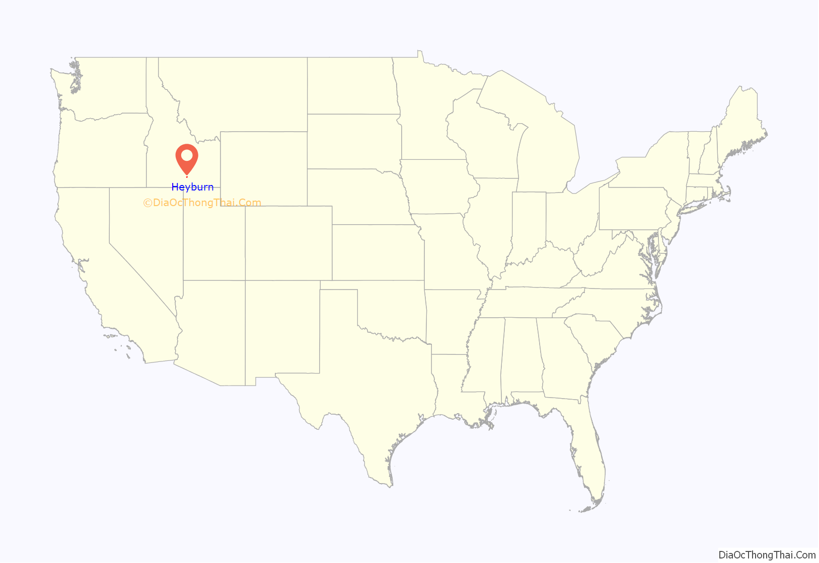
Heyburn location map. Where is Heyburn city?
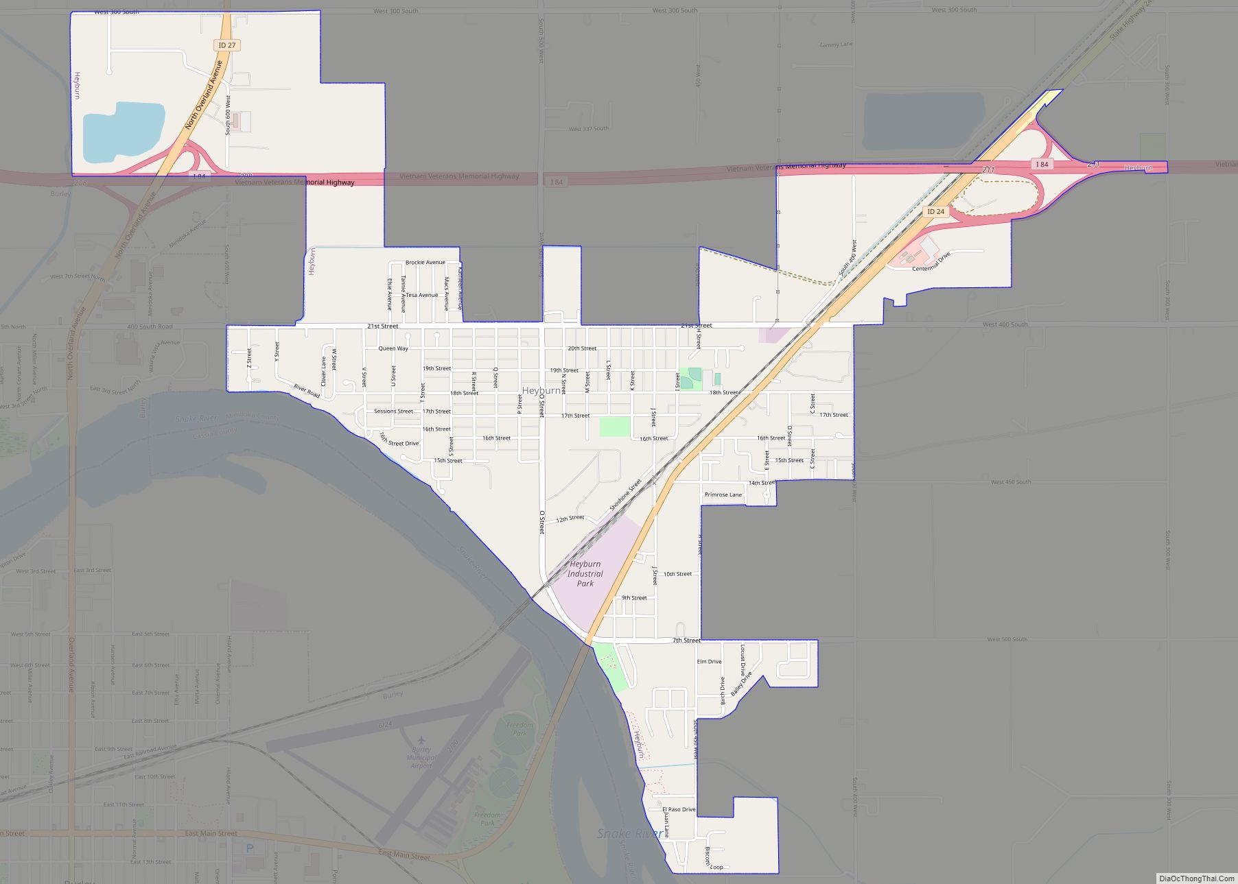
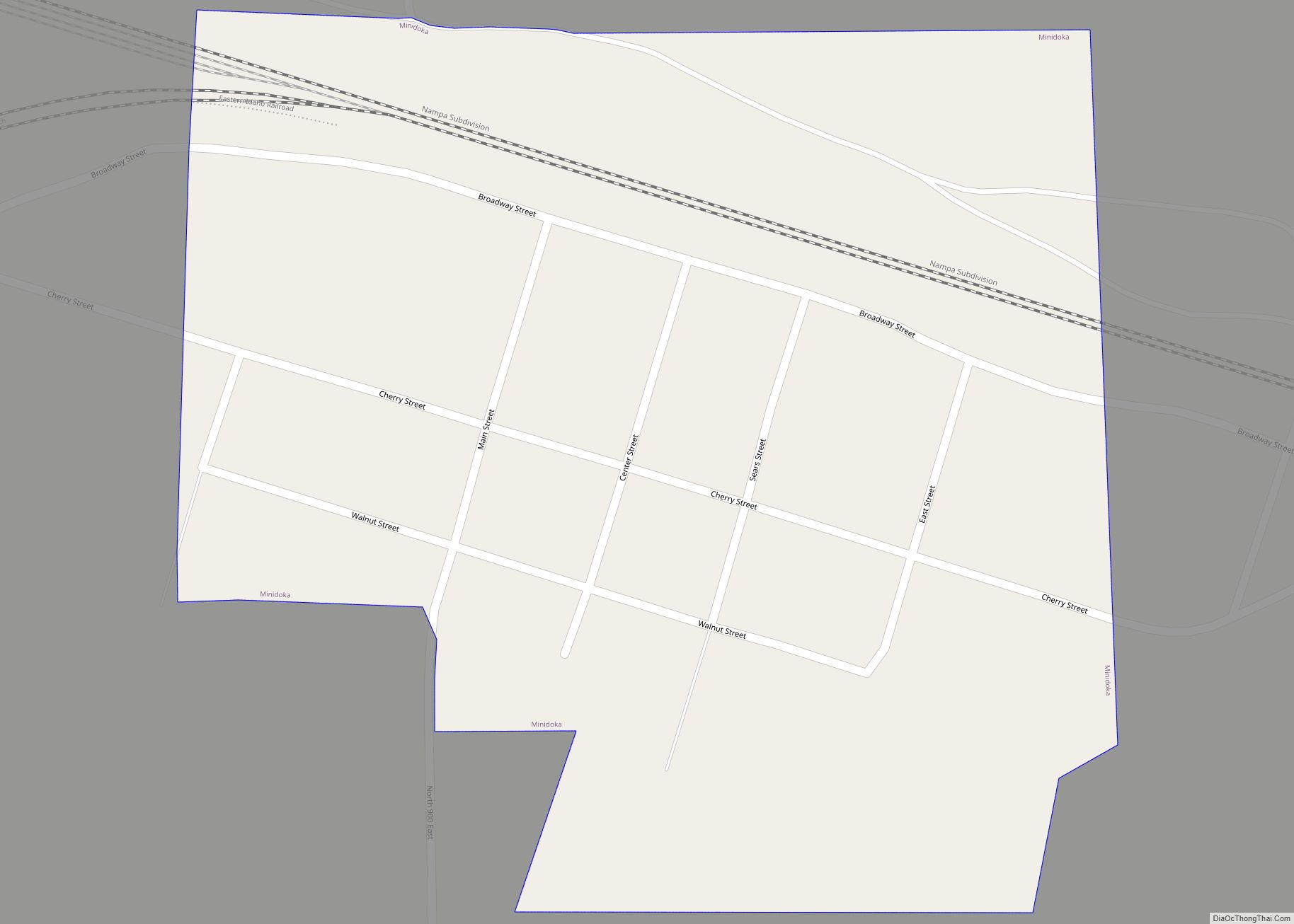
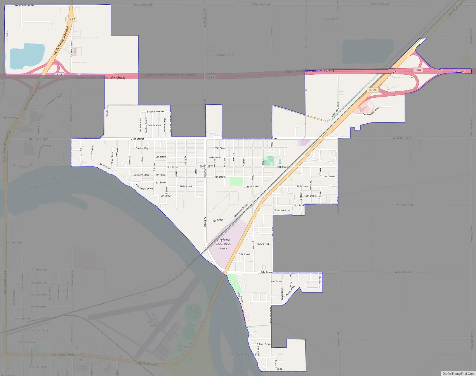
Heyburn Road Map
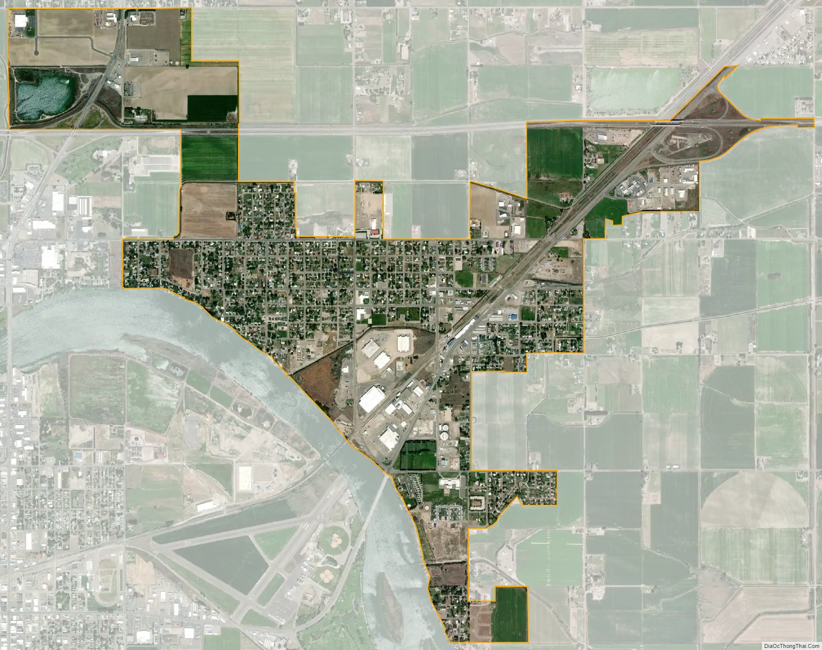
Heyburn city Satellite Map
Geography
Heyburn sits on the southern edge of Minidoka County, bounded to the south by the Snake River, which forms the Cassia County line. The city of Burley borders Heyburn to the south and west. Interstate 84 passes through the north side of the city, with access from Exits 208 and 211. I-84 leads west 37 miles (60 km) to the Twin Falls area and southeast 145 miles (233 km) to Ogden, Utah. U.S. Route 30 passes through the southeast part of Heyburn running from Exit 211 of I-84 southwest across the Snake River into Burley. Idaho State Highway 27 passes through the west side of Heyburn, connecting Burley to the south with Paul 3 miles (5 km) to the north.
According to the United States Census Bureau, Heyburn has a total area of 2.7 square miles (7.0 km), of which 0.04 square miles (0.10 km), or 1.66%, are water.
See also
Map of Idaho State and its subdivision:- Ada
- Adams
- Bannock
- Bear Lake
- Benewah
- Bingham
- Blaine
- Boise
- Bonner
- Bonneville
- Boundary
- Butte
- Camas
- Canyon
- Caribou
- Cassia
- Clark
- Clearwater
- Custer
- Elmore
- Franklin
- Fremont
- Gem
- Gooding
- Idaho
- Jefferson
- Jerome
- Kootenai
- Latah
- Lemhi
- Lewis
- Lincoln
- Madison
- Minidoka
- Nez Perce
- Oneida
- Owyhee
- Payette
- Power
- Shoshone
- Teton
- Twin Falls
- Valley
- Washington
- Alabama
- Alaska
- Arizona
- Arkansas
- California
- Colorado
- Connecticut
- Delaware
- District of Columbia
- Florida
- Georgia
- Hawaii
- Idaho
- Illinois
- Indiana
- Iowa
- Kansas
- Kentucky
- Louisiana
- Maine
- Maryland
- Massachusetts
- Michigan
- Minnesota
- Mississippi
- Missouri
- Montana
- Nebraska
- Nevada
- New Hampshire
- New Jersey
- New Mexico
- New York
- North Carolina
- North Dakota
- Ohio
- Oklahoma
- Oregon
- Pennsylvania
- Rhode Island
- South Carolina
- South Dakota
- Tennessee
- Texas
- Utah
- Vermont
- Virginia
- Washington
- West Virginia
- Wisconsin
- Wyoming