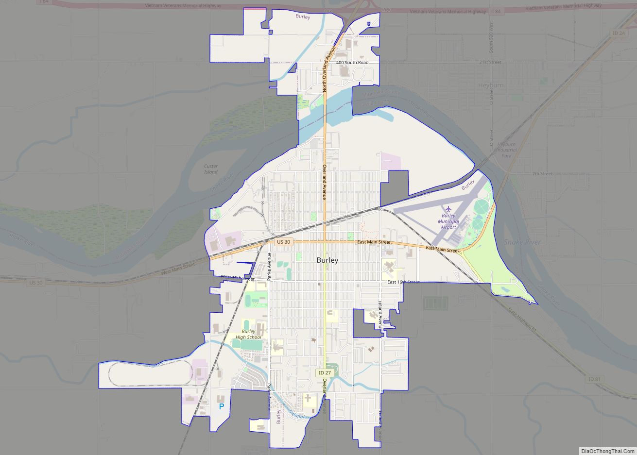
Burley (/ˈbʊrliː/) is a city in Cassia and Minidoka counties in southern Idaho, United States. The population was 11,704 at the 2020 census, up from 10,345 in 2010. The city is the county seat of Cassia County.
Burley is the principal city of the Burley, Idaho, Micropolitan Statistical Area, which comprises Cassia and Minidoka counties. Burley is the largest city in Cassia and Minidoka counties (collectively called the “Mini-Cassia” area), and the third-largest city in Idaho’s Magic Valley region after Twin Falls, and Jerome.
| Name: | Burley city |
|---|---|
| LSAD Code: | 25 |
| LSAD Description: | city (suffix) |
| State: | Idaho |
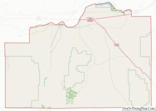
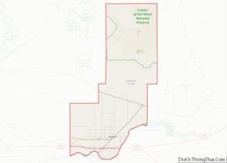
| County: | Cassia County, Minidoka County |
| Elevation: | 4,163 ft (1,269 m) |
| Total Area: | 7.00 sq mi (18.1 km²) |
| Land Area: | 6.67 sq mi (17.3 km²) |
| Water Area: | 0.33 sq mi (0.9 km²) |
| Total Population: | 11,704 |
| Population Density: | 1,753.9/sq mi (677.2/km²) |
| ZIP code: | 83318 |
| Area code: | 208 |
| FIPS code: | 1611260 |
| GNISfeature ID: | 0399811 |
| Website: | burleyidaho.org |
Online Interactive Map
Click on ![]() to view map in "full screen" mode.
to view map in "full screen" mode.
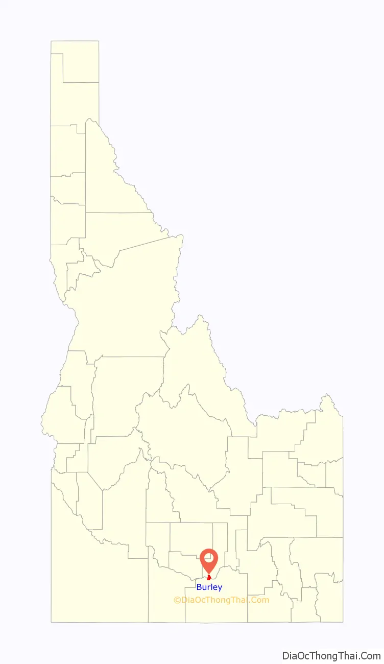
Burley location map. Where is Burley city?

History
The first human inhabitants of the area were Paleo Indians, who first settled the area 15 to 16,000 years ago. Later, the Northern Shoshone and Northern Paiute peoples established communities in the area.
Both the Oregon Trail and California Trail passed through what is now Burley. The Oregon Short Line Railroad was constructed through what is now Burley, following the Oregon Trail, in the late 1800’s.
A post office called Burley has been in operation since 1905. The community was named after David Ellsworth Burley, a railroad official. The town was incorporated in 1909, and became the seat of Cassia County in 1918.
In 2008, a group of local farmers sued the Idaho BLM (Bureau of Land Management) because pesticides that the Burley BLM office sprayed on their lands were carried by a wind storm onto farmers’ lands, effectively destroying crops.
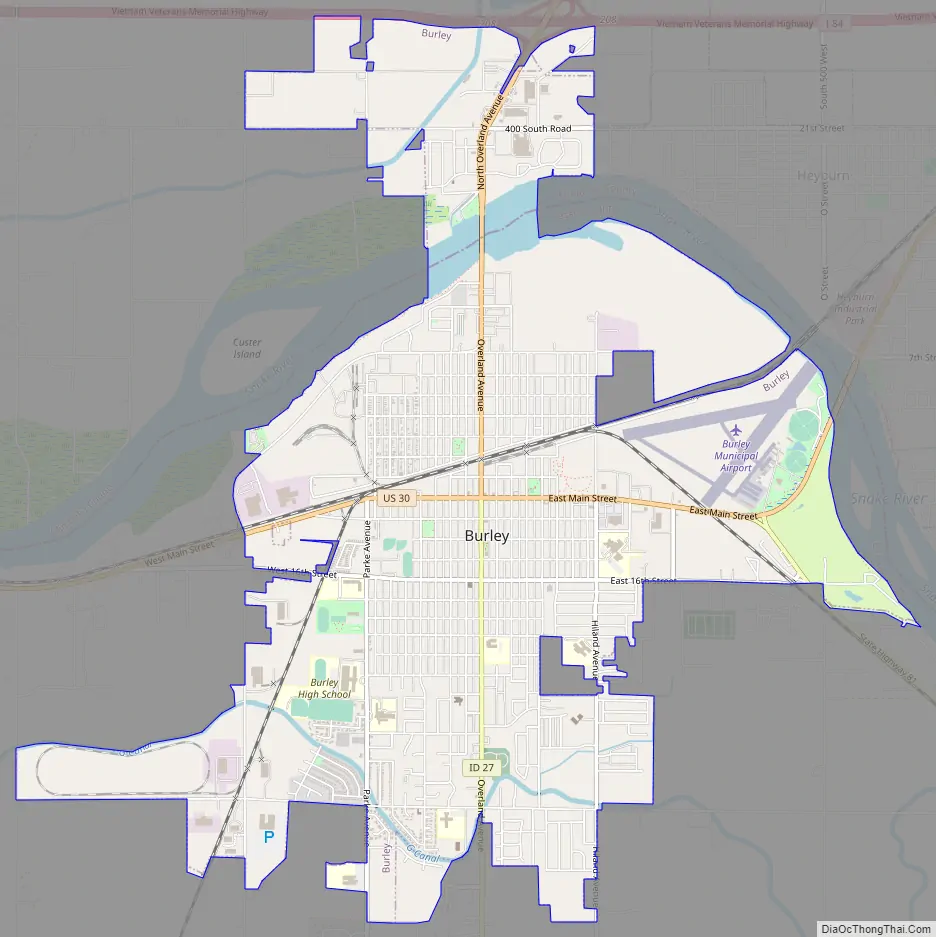
Burley Road Map
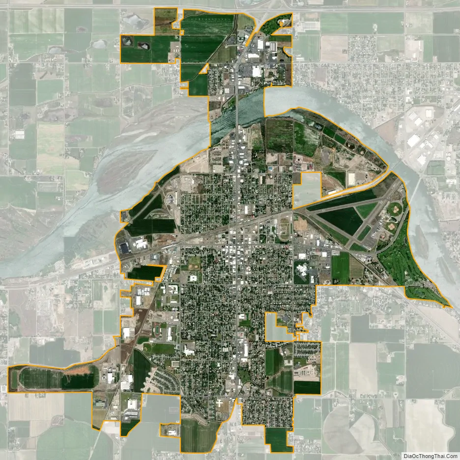
Burley city Satellite Map
Geography
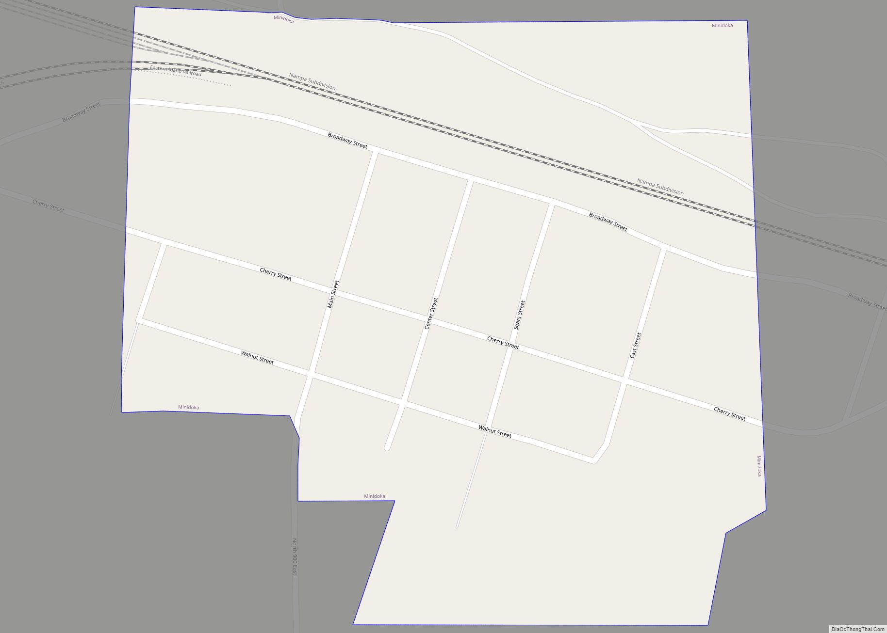
Most of the city lies in Cassia County, with a small portion extending north into Minidoka County. The Snake River forms the border between the two counties. On the north side of the river, Burley is bordered to the east by the city of Heyburn.
U.S. Route 30 passes east-west through the center of Burley, leading northeast to Interstate 84 in Heyburn and west 33 miles (53 km) to Kimberly. Idaho State Highway 27 passes through the center of Burley, leading north 5 miles (8 km) to Paul and south 21 miles (34 km) to its terminus in Oakley, while State Highway 81 leads east from Burley 9 miles (14 km) to Declo. I-84 passes through the northern end of Burley, leading west 37 miles (60 km) to the Twin Falls area and southeast 145 miles (233 km) to Ogden, Utah. The I-84 interchanges outside of Burley and nearby Heyburn are in planning for replacement and upgrades, to be constructed in the 2024-2026 timeframe; the current interchanges have been in service since their construction in 1961.
According to the United States Census Bureau, Burley has a total area of 7.0 square miles (18 km), of which 6.7 square miles (17 km) are land and 0.3 square miles (0.8 km), or 4.71%, are water, referring to the Snake River.
Climate
Burley experiences a semi-arid climate (Köppen BSk) with cold winters and hot, dry summers. The hottest temperature recorded in Burley was 107 °F (42 °C) on July 30, 2000, while the coldest temperature recorded was −30 °F (−34 °C) on January 29, 1949 and January 22, 1962.
Burley’s average monthly wind speeds vary from a high of 9.1 mph in February, to a low of 7.5 mph in August.
See also
Map of Idaho State and its subdivision:- Ada
- Adams
- Bannock
- Bear Lake
- Benewah
- Bingham
- Blaine
- Boise
- Bonner
- Bonneville
- Boundary
- Butte
- Camas
- Canyon
- Caribou
- Cassia
- Clark
- Clearwater
- Custer
- Elmore
- Franklin
- Fremont
- Gem
- Gooding
- Idaho
- Jefferson
- Jerome
- Kootenai
- Latah
- Lemhi
- Lewis
- Lincoln
- Madison
- Minidoka
- Nez Perce
- Oneida
- Owyhee
- Payette
- Power
- Shoshone
- Teton
- Twin Falls
- Valley
- Washington
- Alabama
- Alaska
- Arizona
- Arkansas
- California
- Colorado
- Connecticut
- Delaware
- District of Columbia
- Florida
- Georgia
- Hawaii
- Idaho
- Illinois
- Indiana
- Iowa
- Kansas
- Kentucky
- Louisiana
- Maine
- Maryland
- Massachusetts
- Michigan
- Minnesota
- Mississippi
- Missouri
- Montana
- Nebraska
- Nevada
- New Hampshire
- New Jersey
- New Mexico
- New York
- North Carolina
- North Dakota
- Ohio
- Oklahoma
- Oregon
- Pennsylvania
- Rhode Island
- South Carolina
- South Dakota
- Tennessee
- Texas
- Utah
- Vermont
- Virginia
- Washington
- West Virginia
- Wisconsin
- Wyoming