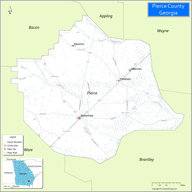
Pierce County is a county located in the southeastern part of the U.S. state of Georgia. As of the 2020 census, the population was 19,716. The county seat is Blackshear.
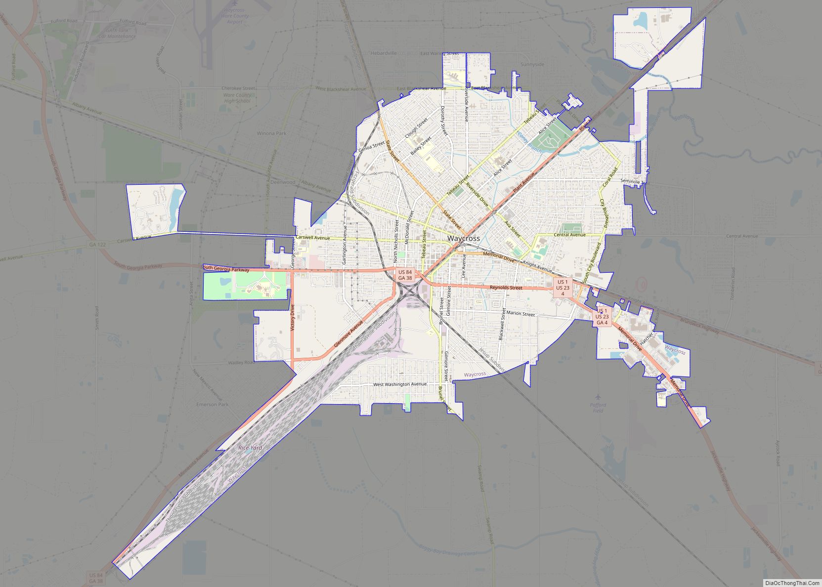
Pierce County is part of the Waycross, Georgia Micropolitan Statistical Area.
| Name: | Pierce County |
|---|---|
| FIPS code: | 13-229 |
| State: | Georgia |
| Founded: | 1857 |
| Named for: | Franklin Pierce |
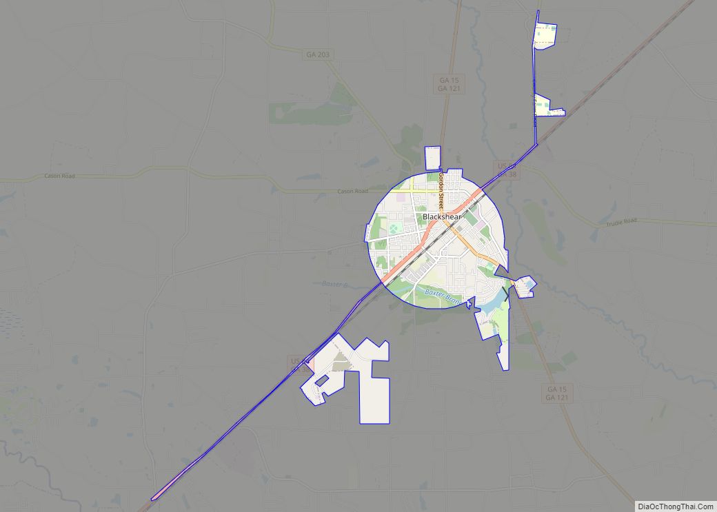
| Seat: | Blackshear |
| Largest city: | Blackshear |
| Total Area: | 343 sq mi (890 km²) |
| Land Area: | 316 sq mi (820 km²) |
| Total Population: | 19,716 |
| Population Density: | 62/sq mi (24/km²) |
| Time zone: | UTC−5 (Eastern) |
| Summer Time Zone (DST): | UTC−4 (EDT) |
| Website: | piercecountyga.gov |
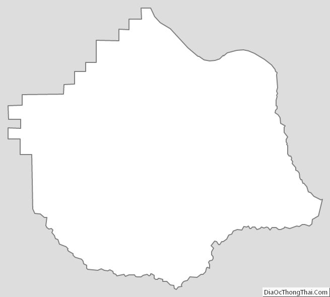
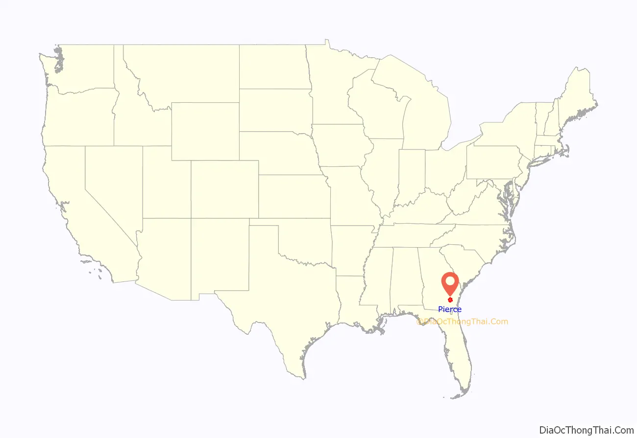
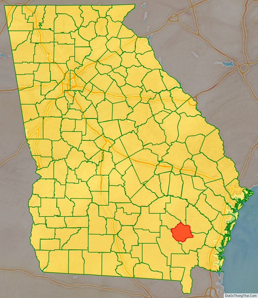
Pierce County location map. Where is Pierce County?
History
Pierce County is named for Franklin Pierce, fourteenth President of the United States. It was created December 18, 1857, from Appling and Ware counties.
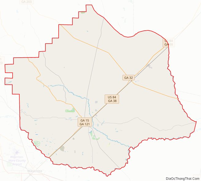
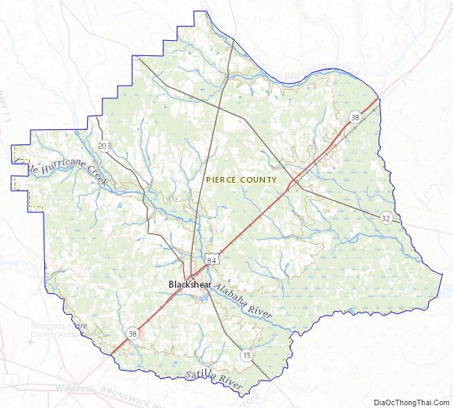
Pierce County Road Map
Geography
According to the U.S. Census Bureau, the county has a total area of 343 square miles (890 km), of which 316 square miles (820 km) is land and 27 square miles (70 km) (7.8%) is water.
The northeastern third of Pierce County, bordered by a line from just west of Mershon to just south of Bristol, then south to just north of Blackshear, and then heading due east, is located in the Little Satilla River sub-basin of the St. Marys River-Satilla River basin. The southern two-thirds of the county is located in the Satilla River sub-basin of the St. Marys-Satilla River basin.
Major highways
- U.S. Highway 84
- State Route 15
- State Route 32
- State Route 38
- State Route 121
- State Route 203
Adjacent counties
- Appling County – north
- Wayne County – northeast
- Brantley County – southeast
- Ware County – west
- Bacon County – northwest
Pierce County Topographic Map
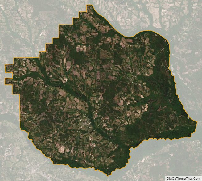
Pierce County Satellite Map
Pierce County Outline Map