The city of Blackshear is the county seat of Pierce County, Georgia, United States. As of the 2020 census, the city had a population of 3,506.
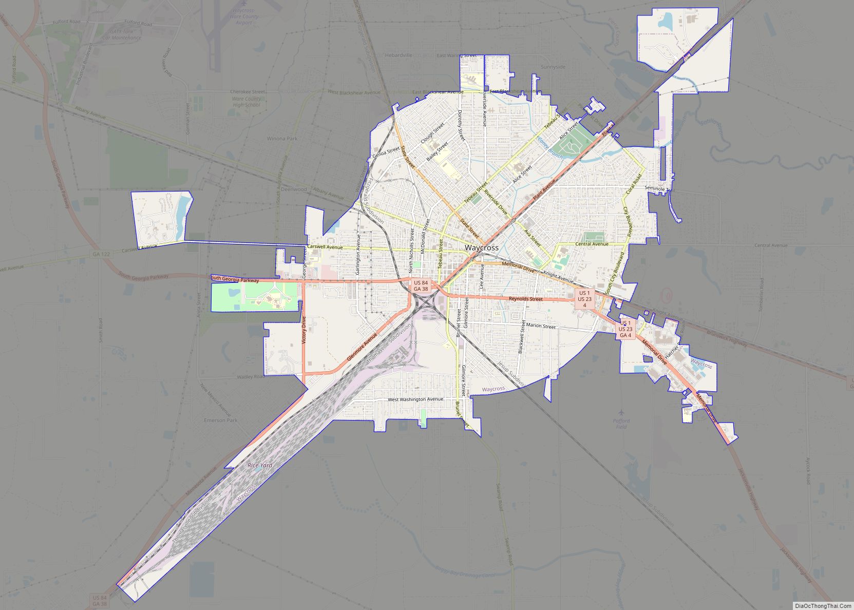
Blackshear is part of the Waycross Micropolitan Statistical Area.
| Name: | Blackshear city |
|---|---|
| LSAD Code: | 25 |
| LSAD Description: | city (suffix) |
| State: | Georgia |
| County: | Pierce County |
| Elevation: | 112 ft (34 m) |
| Total Area: | 5.14 sq mi (13.32 km²) |
| Land Area: | 5.07 sq mi (13.12 km²) |
| Water Area: | 0.08 sq mi (0.20 km²) |
| Total Population: | 3,506 |
| Population Density: | 692.06/sq mi (267.20/km²) |
| ZIP code: | 31516 |
| Area code: | 912 |
| FIPS code: | 1308284 |
| GNISfeature ID: | 0331178 |
| Website: | blackshearga.com |
Online Interactive Map
Click on ![]() to view map in "full screen" mode.
to view map in "full screen" mode.
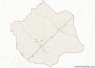
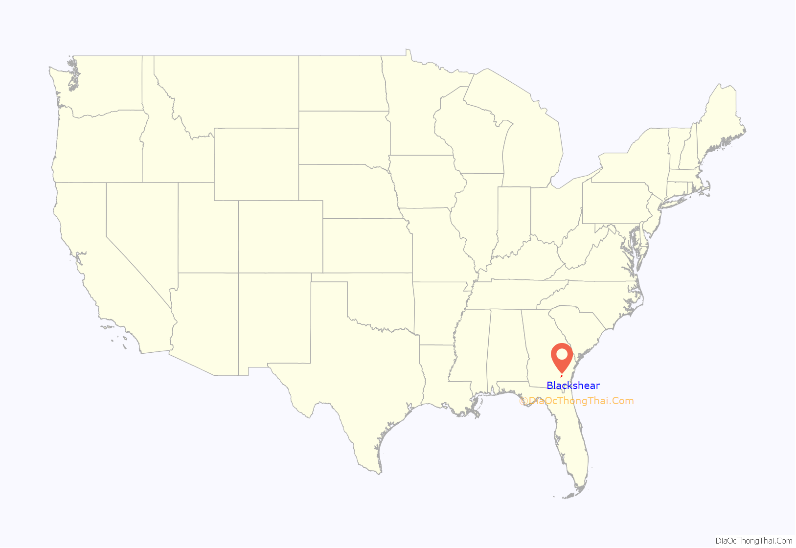
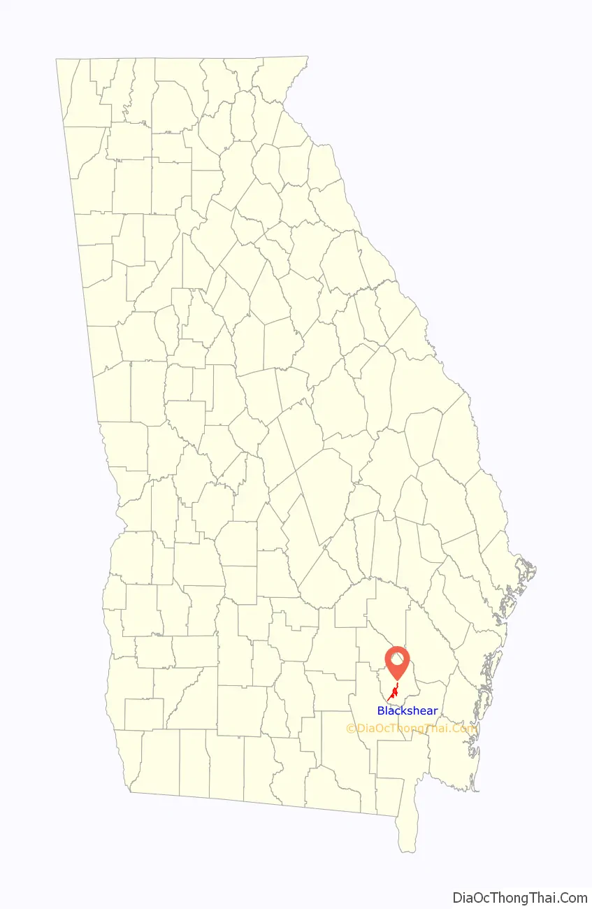
Blackshear location map. Where is Blackshear city?
History
Blackshear was founded in 1858 to serve as the seat of the newly formed Pierce County. The city was named after General David Blackshear, who authorized the construction of roads, bridges and 11 forts for defense. He was a patriot in the American Revolution, fighting in the Battle of Moore’s Creek Bridge and the Battle of Buford’s Bridge. He served as a general during the War of 1812. He also served in the Georgia state legislature as Senator of Laurens County.
During the American Civil War, the city became a temporary prisoner-of-war camp for more than 5,000 Union prisoners. This site is marked by a historical landmark sign.
The primary crop of this south Georgia community was once tobacco, and is where the first brick tobacco warehouse in Georgia was built, known as the Brantley Brick.
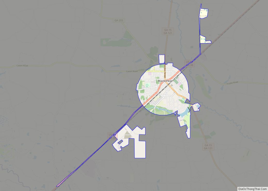
Blackshear Road Map
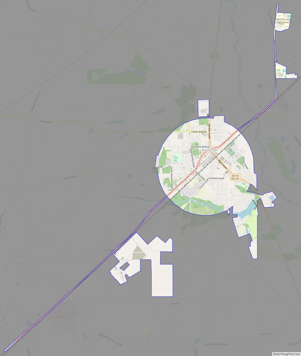
Blackshear city Satellite Map
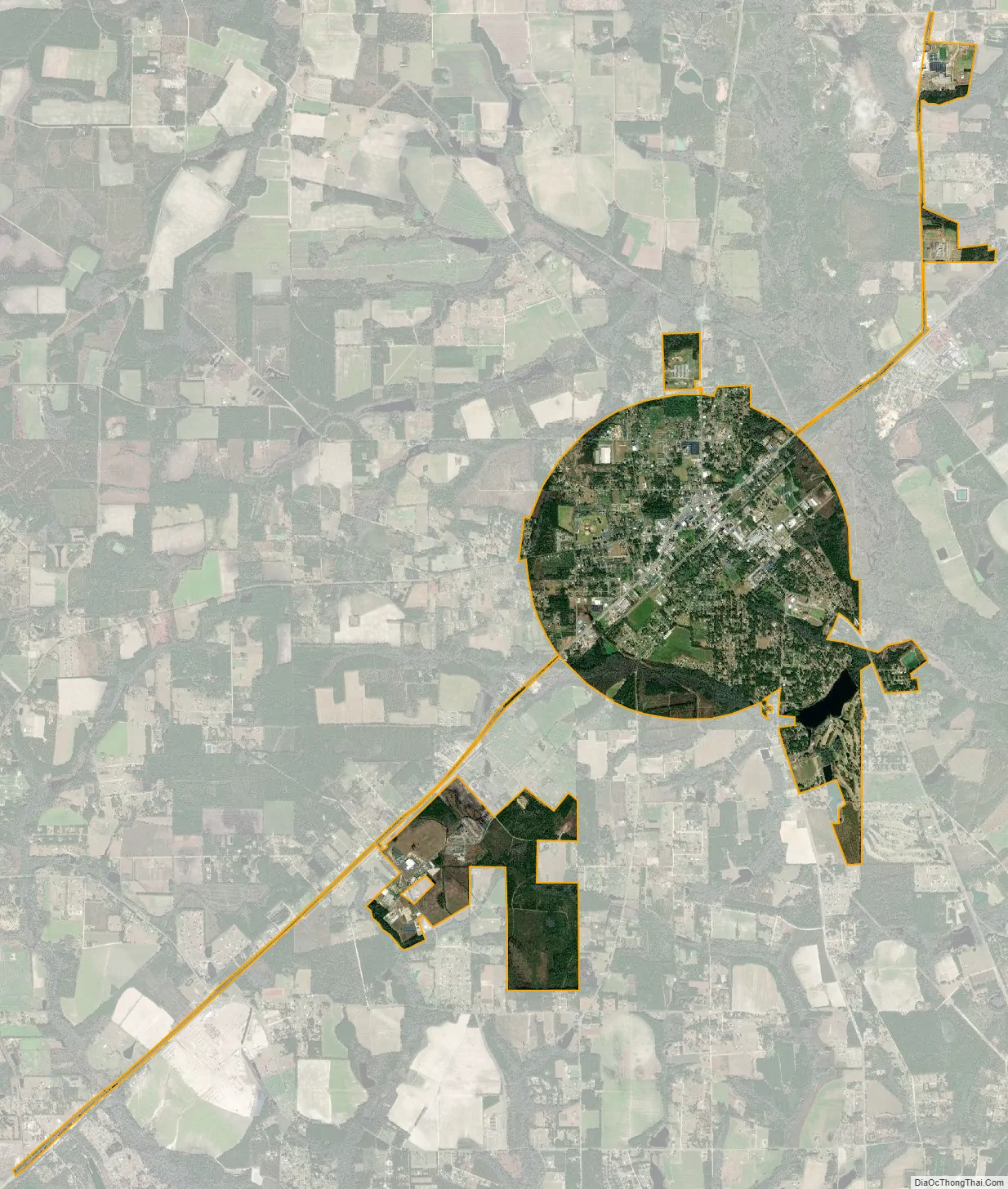
Geography
Blackshear is located at 31°17′56″N 82°14′52″W / 31.29889°N 82.24778°W / 31.29889; -82.24778 (31.298941, -82.247726).
According to the United States Census Bureau, the city has a total area of 4.4 square miles (11 km), of which 4.3 square miles (11 km) is land and 0.1 square miles (0.26 km) (2.06%) is water.
See also
Map of Georgia State and its subdivision:- Appling
- Atkinson
- Bacon
- Baker
- Baldwin
- Banks
- Barrow
- Bartow
- Ben Hill
- Berrien
- Bibb
- Bleckley
- Brantley
- Brooks
- Bryan
- Bulloch
- Burke
- Butts
- Calhoun
- Camden
- Candler
- Carroll
- Catoosa
- Charlton
- Chatham
- Chattahoochee
- Chattooga
- Cherokee
- Clarke
- Clay
- Clayton
- Clinch
- Cobb
- Coffee
- Colquitt
- Columbia
- Cook
- Coweta
- Crawford
- Crisp
- Dade
- Dawson
- Decatur
- DeKalb
- Dodge
- Dooly
- Dougherty
- Douglas
- Early
- Echols
- Effingham
- Elbert
- Emanuel
- Evans
- Fannin
- Fayette
- Floyd
- Forsyth
- Franklin
- Fulton
- Gilmer
- Glascock
- Glynn
- Gordon
- Grady
- Greene
- Gwinnett
- Habersham
- Hall
- Hancock
- Haralson
- Harris
- Hart
- Heard
- Henry
- Houston
- Irwin
- Jackson
- Jasper
- Jeff Davis
- Jefferson
- Jenkins
- Johnson
- Jones
- Lamar
- Lanier
- Laurens
- Lee
- Liberty
- Lincoln
- Long
- Lowndes
- Lumpkin
- Macon
- Madison
- Marion
- McDuffie
- McIntosh
- Meriwether
- Miller
- Mitchell
- Monroe
- Montgomery
- Morgan
- Murray
- Muscogee
- Newton
- Oconee
- Oglethorpe
- Paulding
- Peach
- Pickens
- Pierce
- Pike
- Polk
- Pulaski
- Putnam
- Quitman
- Rabun
- Randolph
- Richmond
- Rockdale
- Schley
- Screven
- Seminole
- Spalding
- Stephens
- Stewart
- Sumter
- Talbot
- Taliaferro
- Tattnall
- Taylor
- Telfair
- Terrell
- Thomas
- Tift
- Toombs
- Towns
- Treutlen
- Troup
- Turner
- Twiggs
- Union
- Upson
- Walker
- Walton
- Ware
- Warren
- Washington
- Wayne
- Webster
- Wheeler
- White
- Whitfield
- Wilcox
- Wilkes
- Wilkinson
- Worth
- Alabama
- Alaska
- Arizona
- Arkansas
- California
- Colorado
- Connecticut
- Delaware
- District of Columbia
- Florida
- Georgia
- Hawaii
- Idaho
- Illinois
- Indiana
- Iowa
- Kansas
- Kentucky
- Louisiana
- Maine
- Maryland
- Massachusetts
- Michigan
- Minnesota
- Mississippi
- Missouri
- Montana
- Nebraska
- Nevada
- New Hampshire
- New Jersey
- New Mexico
- New York
- North Carolina
- North Dakota
- Ohio
- Oklahoma
- Oregon
- Pennsylvania
- Rhode Island
- South Carolina
- South Dakota
- Tennessee
- Texas
- Utah
- Vermont
- Virginia
- Washington
- West Virginia
- Wisconsin
- Wyoming