| Name: | Ware County |
|---|---|
| FIPS code: | 13-299 |
| State: | Georgia |
| Founded: | 1824 |
| Named for: | Nicholas Ware |
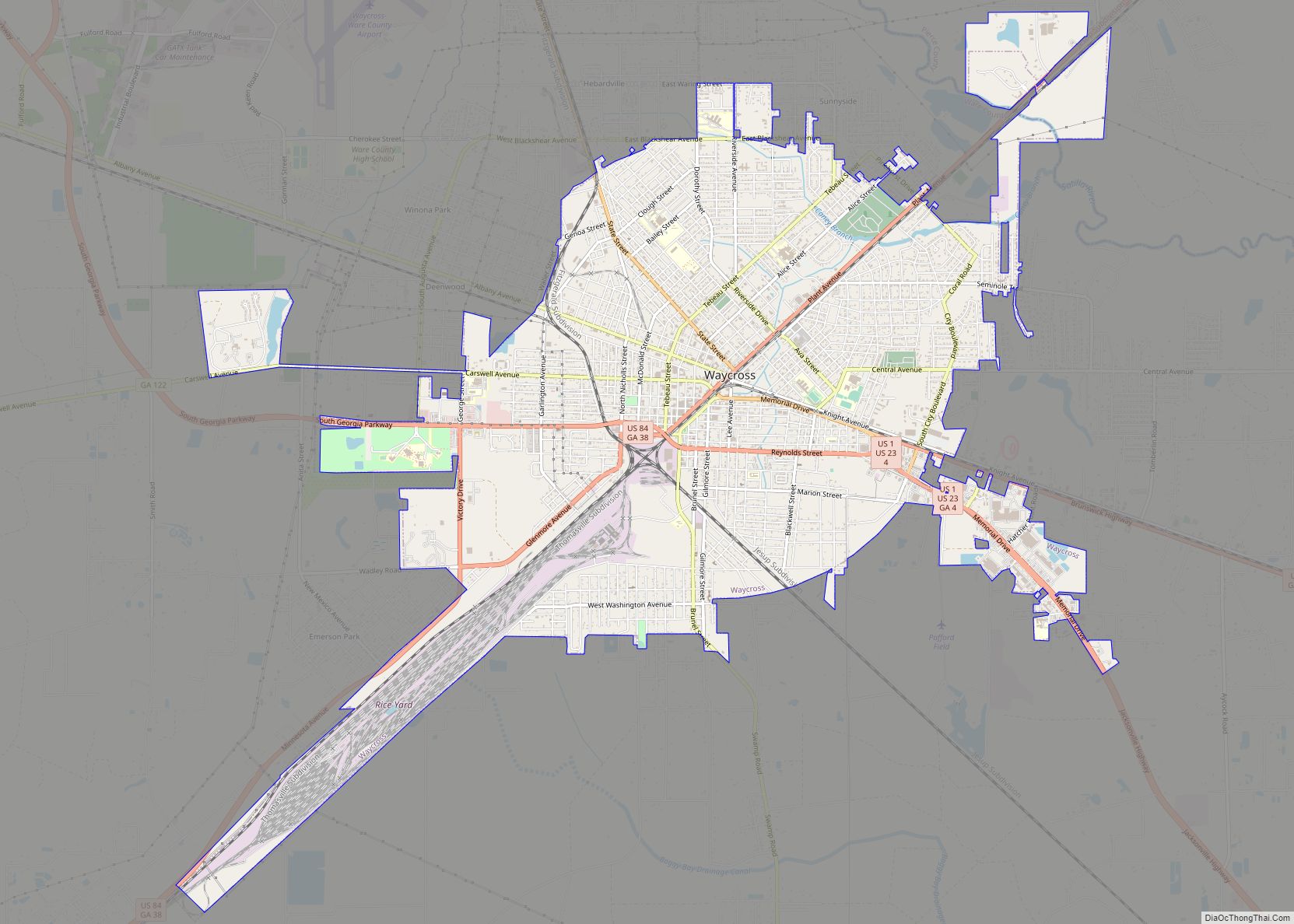
| Seat: | Waycross |
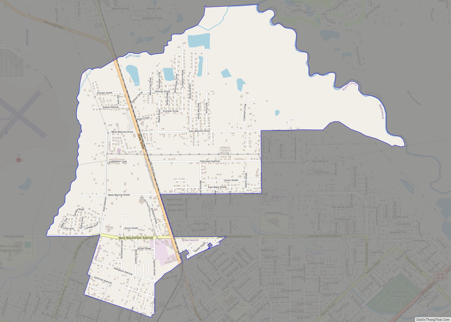
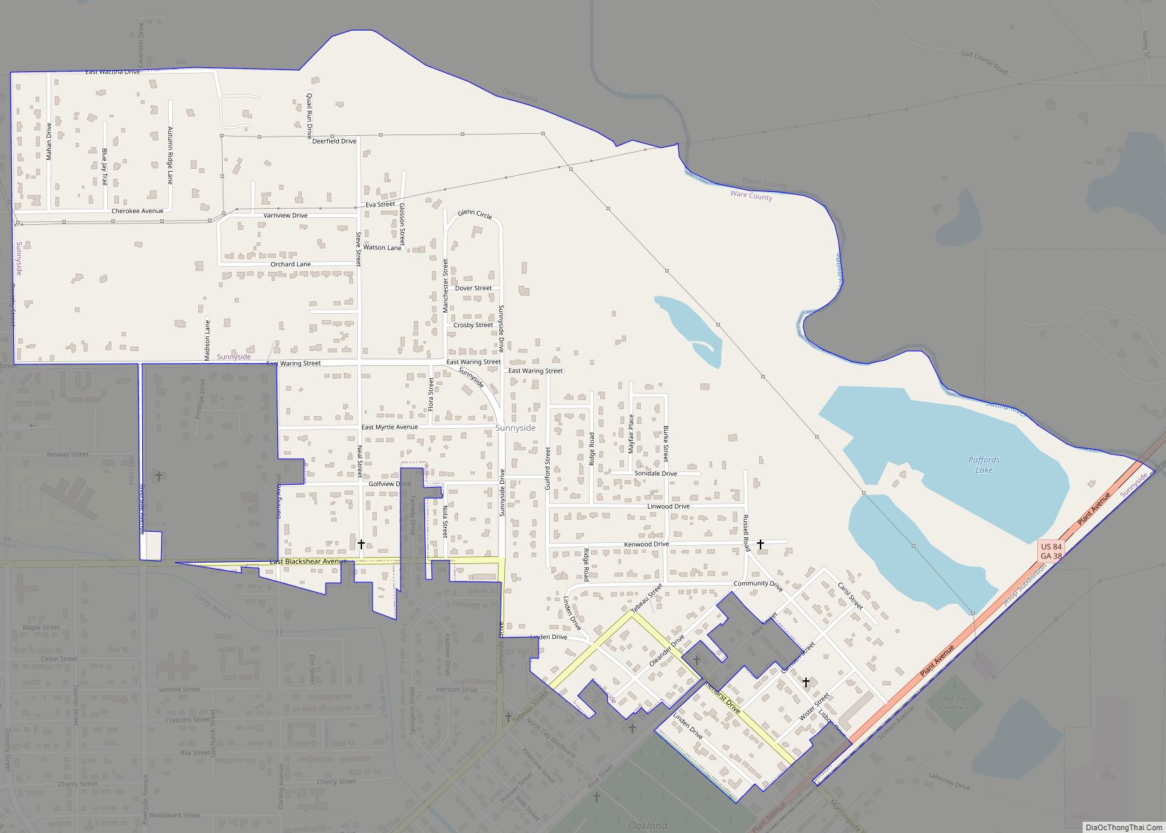
| Largest city: | Waycross |
| Total Area: | 908 sq mi (2,350 km²) |
| Land Area: | 892 sq mi (2,310 km²) |
| Total Population: | 36,251 |
| Population Density: | 41/sq mi (16/km²) |
| Time zone: | UTC−5 (Eastern) |
| Summer Time Zone (DST): | UTC−4 (EDT) |
| Website: | www.warecounty.com |
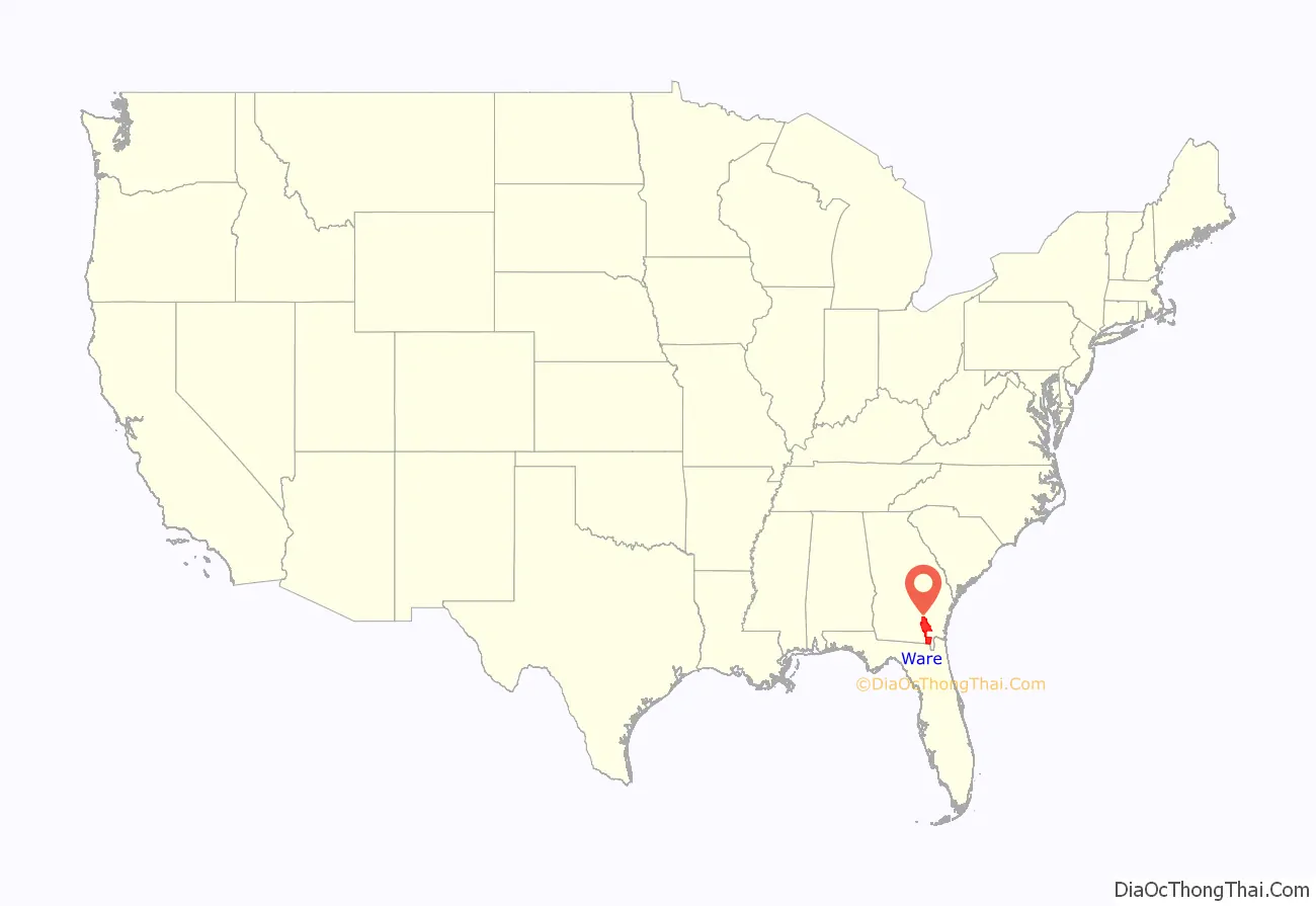
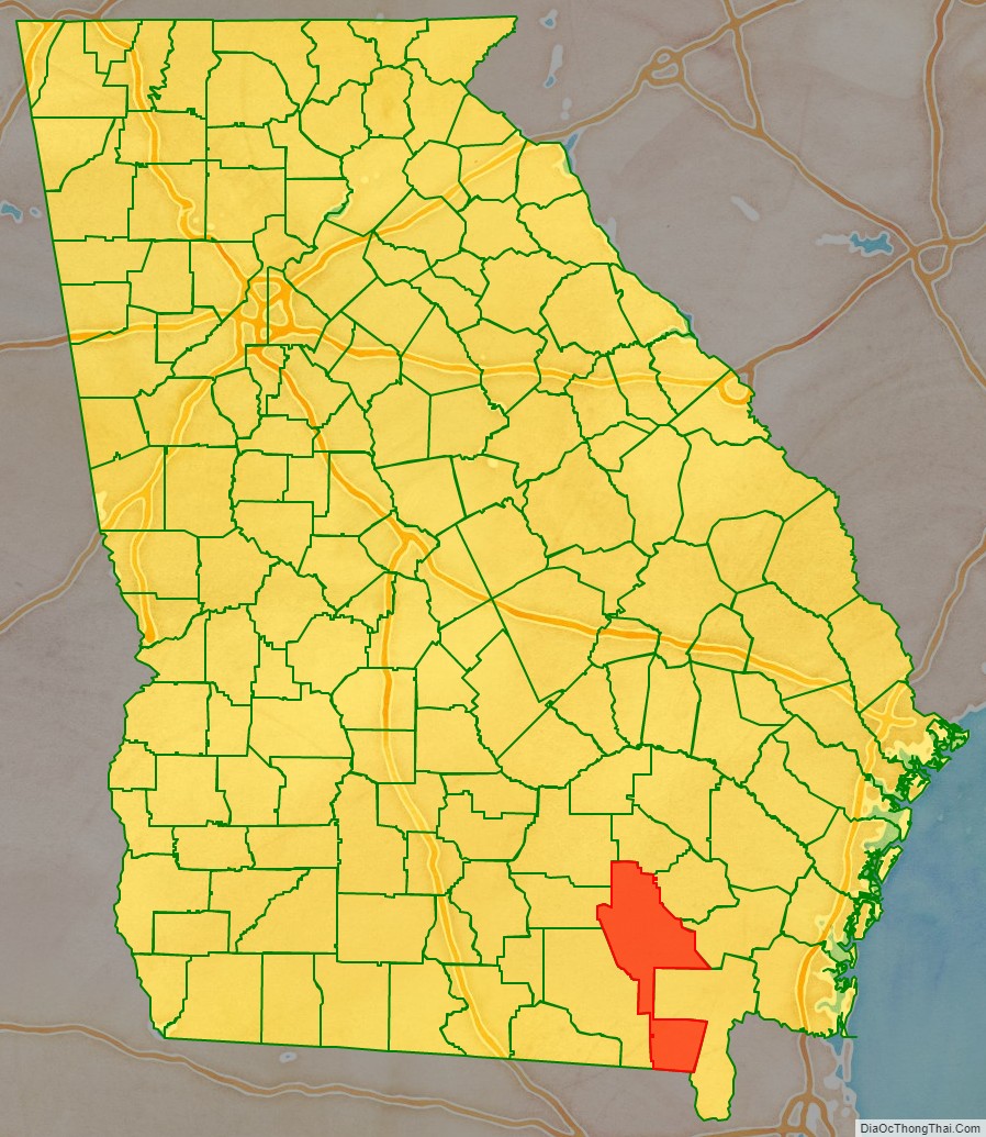
Ware County location map. Where is Ware County?
History
Ware County, Georgia’s 60th county, was created on December 15, 1824, by an act of the Georgia General Assembly from land that was originally part of Appling County.
The county is named for Nicholas Ware, the mayor of Augusta, Georgia from (1819–1821) and United States Senator who represented Georgia from 1821 until his death in 1824.
Several counties were later created from parts of the original Ware County borders:
- Bacon County (from portions of Appling, Pierce, and Ware counties in 1917)
- Charlton County (from portions of Camden and Ware county in 1854)
- Clinch County (from portions of Lowndes and Ware counties in 1850)
- Coffee County (from portions of Clinch, Irwin, Telfair, and Ware counties in 1854)
- Pierce County (from portions of Appling and Ware counties in 1857)
Ware County was home to Laura S. Walker (1861-1955) a noted author and conservationist. Walker promoted a comprehensive program of forestry activity, including the establishment of forest parks. She erected markers and monuments along old trails and at historic sites, in Waycross and Ware County so that local history would not be forgotten. Walker wrote three books about the land and history of her home. They are: History of Ware County, Georgia About “Old Okefenåok” and Doctors of Primitive Times and Horse and Buggy Days of Ware County.
An effort to recognize her work culminated in President Franklin D. Roosevelt issuing a proclamation to establish the Laura S. Walker National Park, located in Ware County, in her honor. She was the only living person for whom a state or national park was named. In 1937, the federal government purchased distressed farmland for the park. Work on the park was undertaken by the Works Progress Administration and the Civilian Conservation Corps. In 1941, the national park was deeded over to Georgia, becoming the State’s 13th state park.
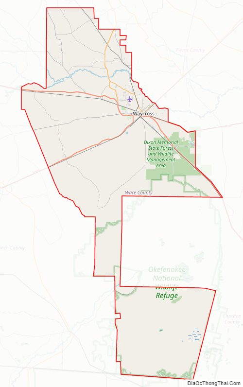
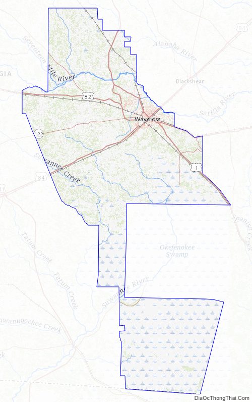
Ware County Road Map
Geography
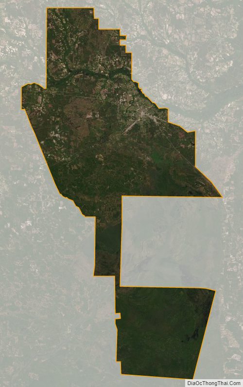
According to the U.S. Census Bureau, the county has a total area of 908 square miles (2,350 km), of which 892 square miles (2,310 km) is land and 16 square miles (41 km) (1.7%) is water. It is the largest county in Georgia by area. A large portion of the county lies within the Okefenokee Swamp and its federally protected areas.
More than half of Ware County, made up by the western half of the southern portion of the county, the land bridge to the northern portion of the county, and the southern and western portion of the northern section of the county, is located in the Upper Suwannee River sub-basin of the Suwannee River basin. The eastern half of the southern portion of Ware County is located in the St. Marys River sub-basin of the St. Marys-Satilla River basin. The rest of the county, from just southeast to north and west of Waycross, is located in the Satilla River sub-basin of the same St. Marys-Satilla River basin.
Major highways
- U.S. Route 1
U.S. Route 1 Business- U.S. Route 23
U.S. Route 23 Business- U.S. Route 82
- U.S. Route 84
- State Route 4
- State Route 4 Business
- State Route 38
- State Route 122
- State Route 158
- State Route 177
- State Route 520
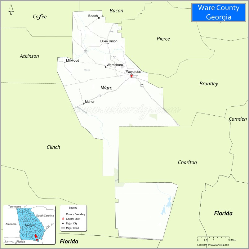
Adjacent counties
- Bacon County – north
- Pierce County – east
- Brantley County – east
- Charlton County – southeast
- Baker County, Florida – south
- Clinch County – west
- Atkinson County – west
- Coffee County – northwest
National protected area
- Okefenokee National Wildlife Refuge (part)
Ware County Topographic Map
Ware County Satellite Map
Ware County Outline Map