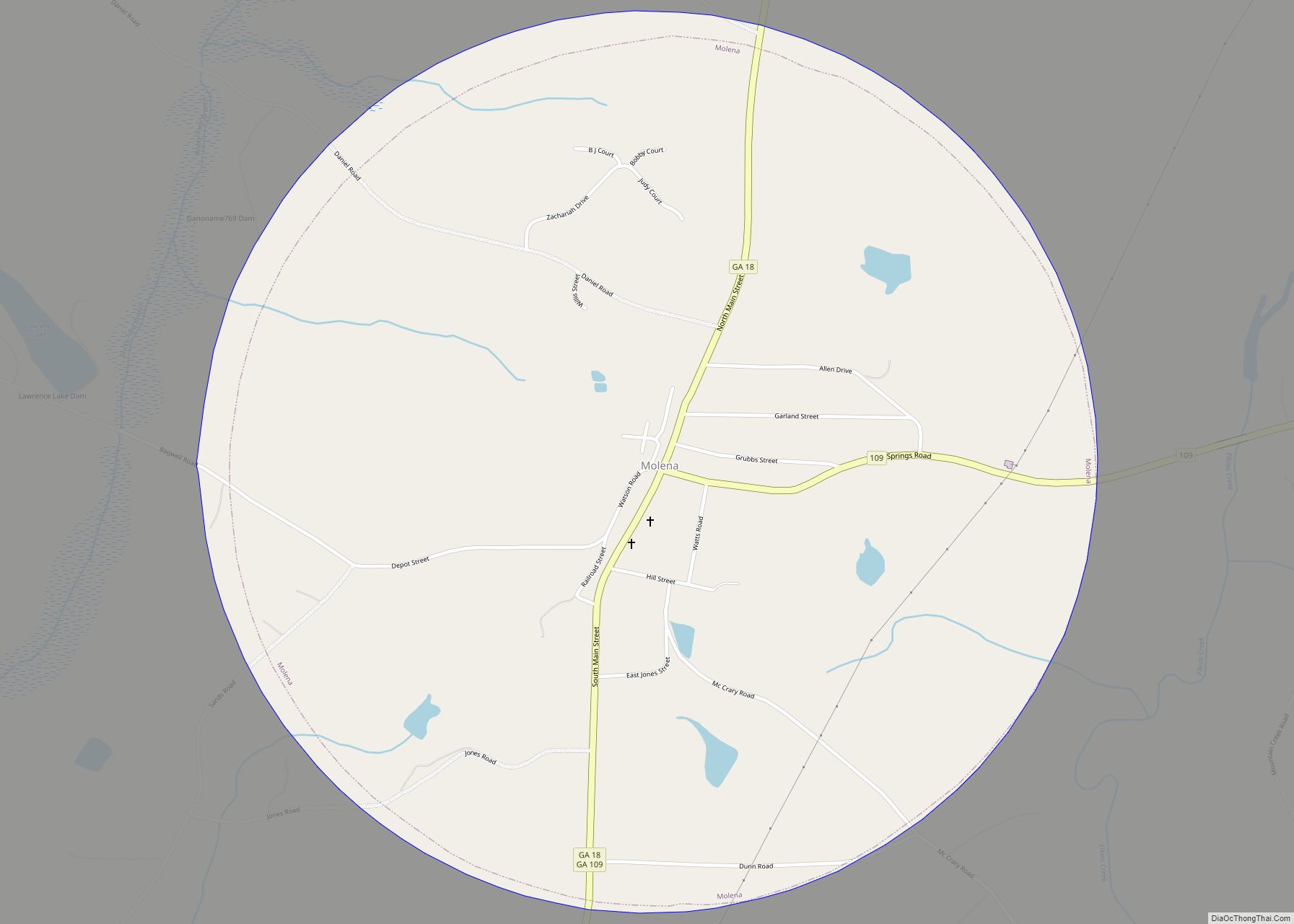
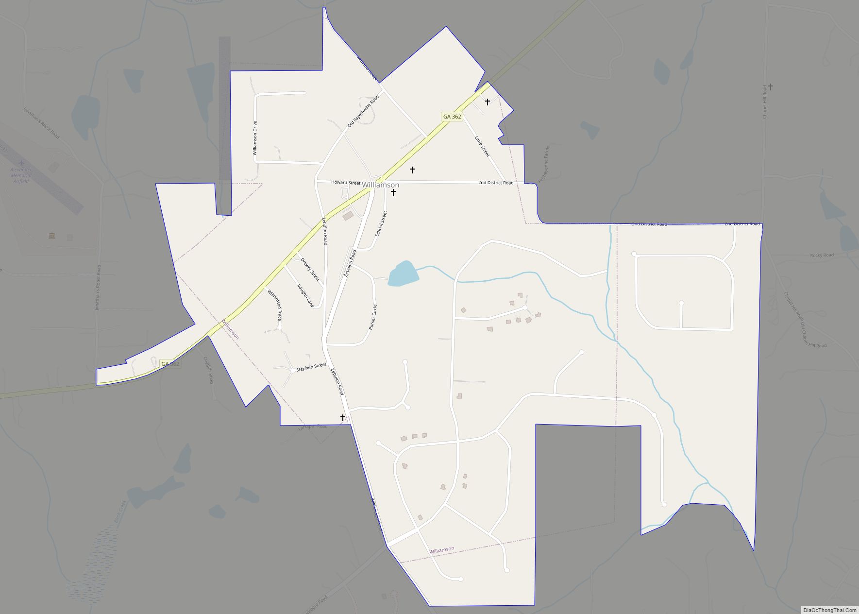
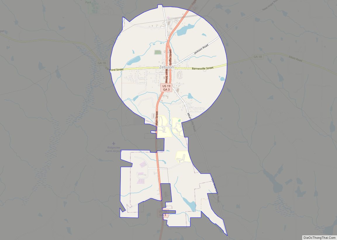
Pike County is a county located in the west central portion of the U.S. state of Georgia. As of the 2020 census, the population was 18,889. The county seat is Zebulon.
| Name: | Pike County |
|---|---|
| FIPS code: | 13-231 |
| State: | Georgia |
| Founded: | 1822 |
| Named for: | Zebulon Pike |
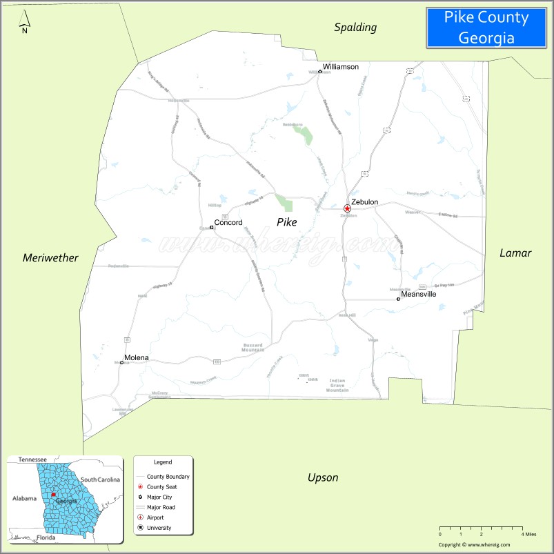
| Seat: | Zebulon |
| Largest city: | Zebulon |
| Total Area: | 219 sq mi (570 km²) |
| Land Area: | 216 sq mi (560 km²) |
| Total Population: | 18,889 |
| Population Density: | 87/sq mi (34/km²) |
| Time zone: | UTC−5 (Eastern) |
| Summer Time Zone (DST): | UTC−4 (EDT) |
| Website: | www.pikecoga.com |
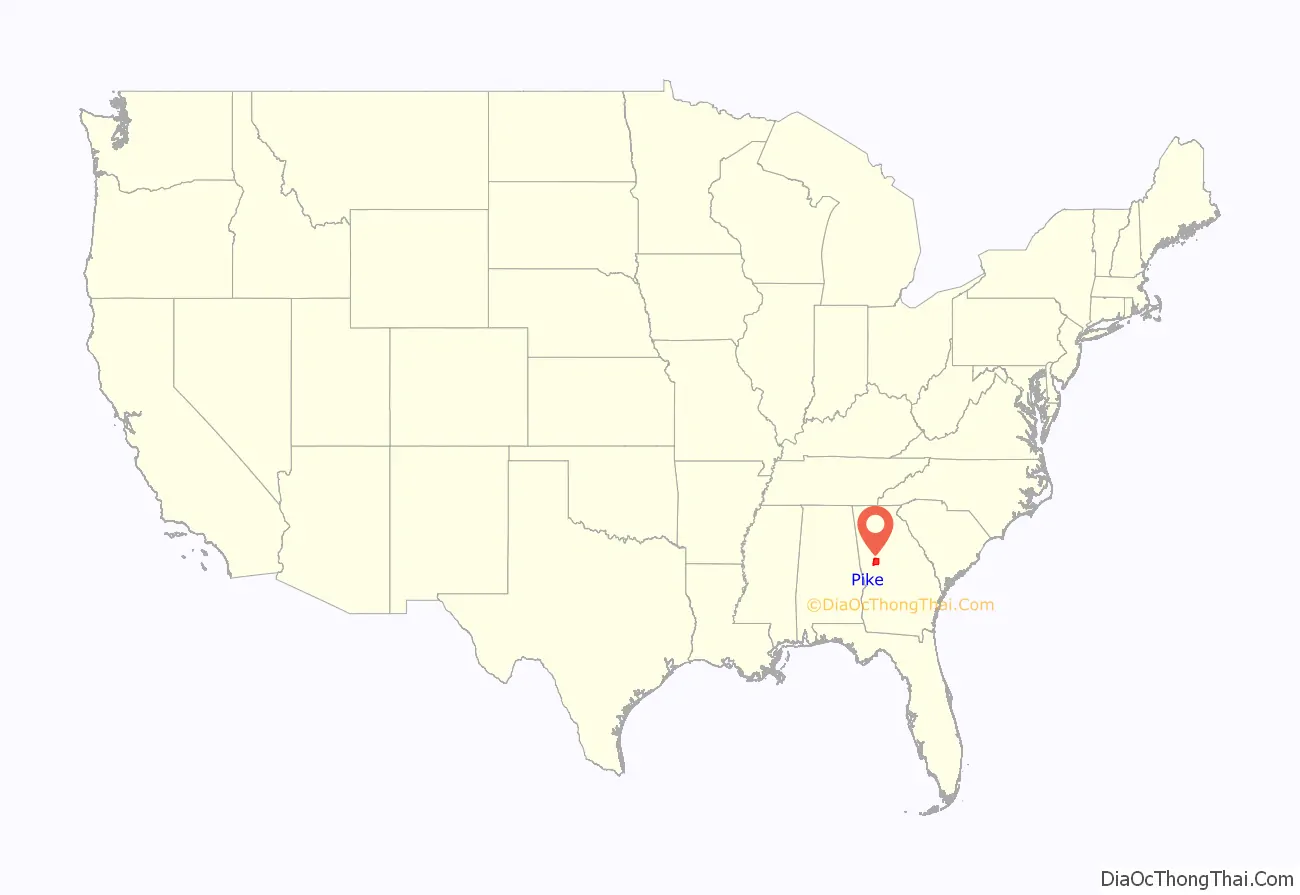
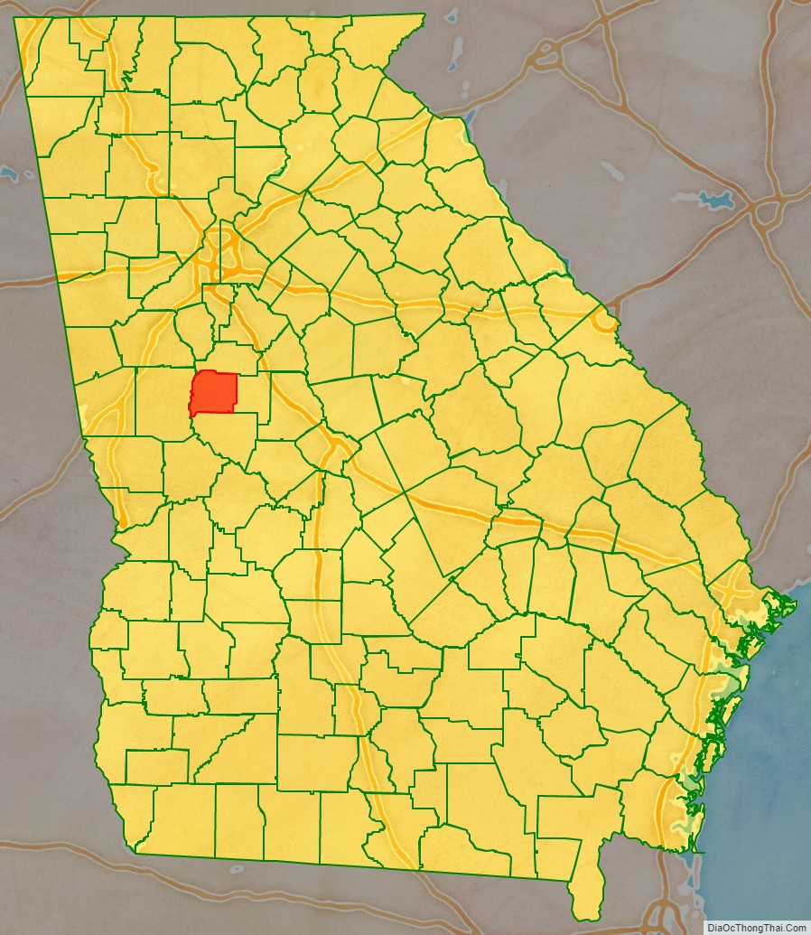
Pike County location map. Where is Pike County?
History
Pike County was made from part of Monroe County in 1822. It was named after Zebulon Montgomery Pike, an explorer and army officer.
Pike County Road Map
Geography
According to the U.S. Census Bureau, the county has a total area of 219 square miles (570 km), of which 216 square miles (560 km) is land and 3.3 square miles (8.5 km) (1.5%) is water. The entirety of Pike County is located in the Upper Flint River sub-basin of the ACF River Basin (Apalachicola-Chattahoochee-Flint River Basin). The county is located in the Piedmont region of the state.
Major highways
- U.S. Route 19
- U.S. Route 41
- State Route 3
- State Route 7
- State Route 18
- State Route 74
- State Route 109
- State Route 362
Adjacent counties
- Spalding County (north)
- Lamar County (east)
- Upson County (south)
- Meriwether County (west)
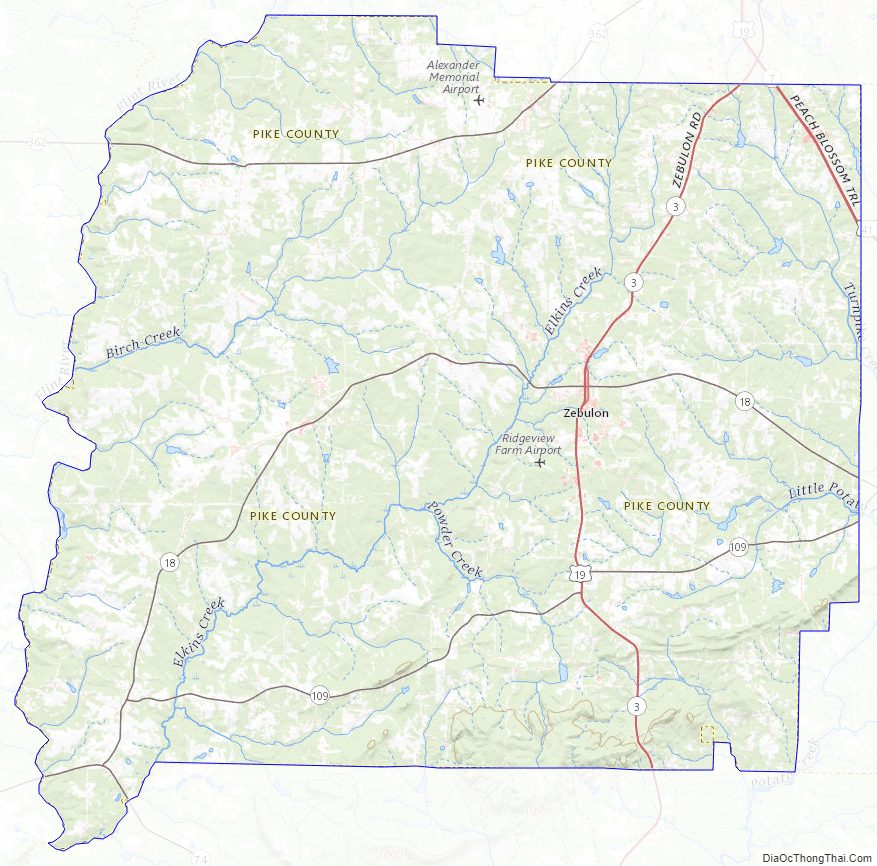
Pike County Topographic Map
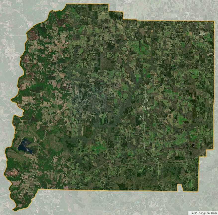
Pike County Satellite Map
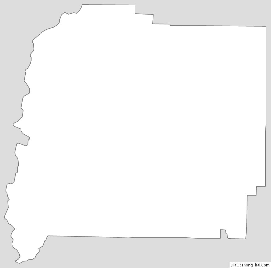
Pike County Outline Map