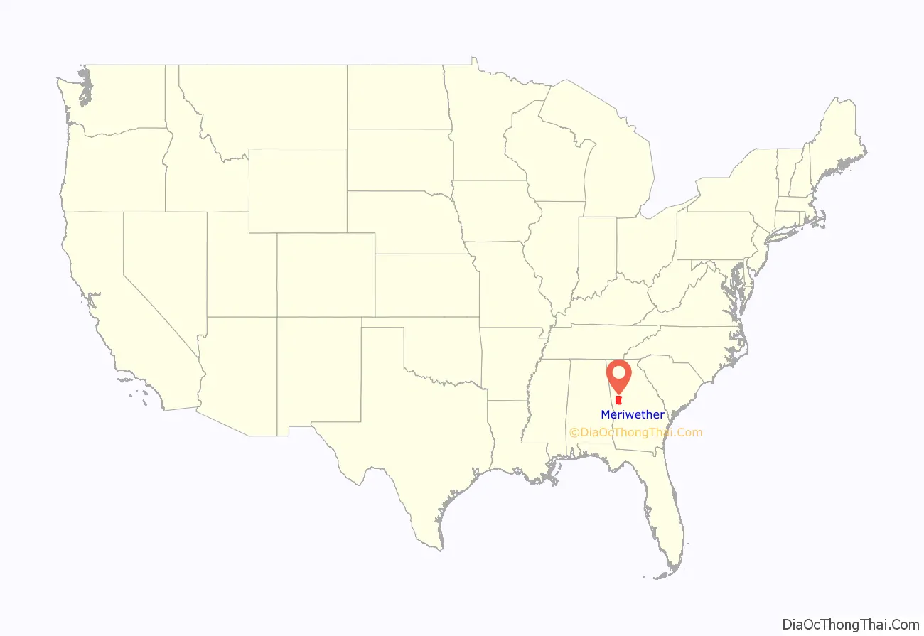
Meriwether County is a county located in the west central portion of the U.S. state of Georgia. As of the 2020 census, the population was 20,613. The county seat is Greenville, home of the Meriwether County Courthouse. The county was formed on December 14, 1827, as the 73rd county in Georgia. It was named for David Meriwether, a general in the American Revolutionary War and member of Congress from Georgia.
Meriwether County is part of the Atlanta-Sandy Springs-Roswell, GA Metropolitan Statistical Area.
| Name: | Meriwether County |
|---|---|
| FIPS code: | 13-199 |
| State: | Georgia |
| Founded: | 1827 |
| Named for: | David Meriwether |
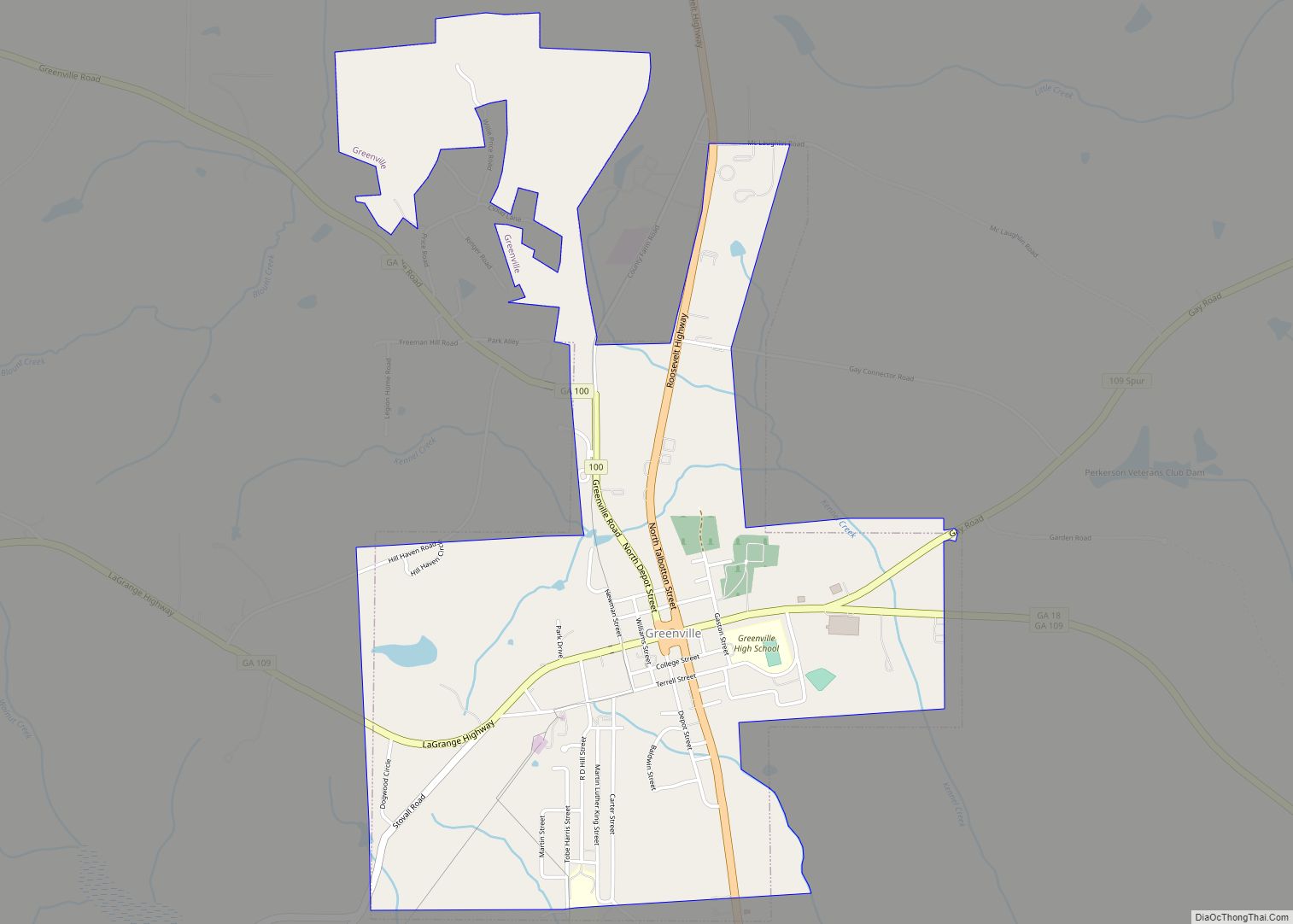
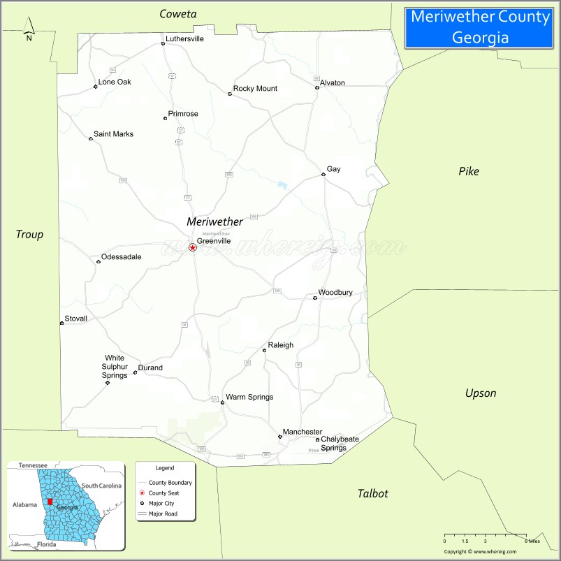
| Seat: | Greenville |
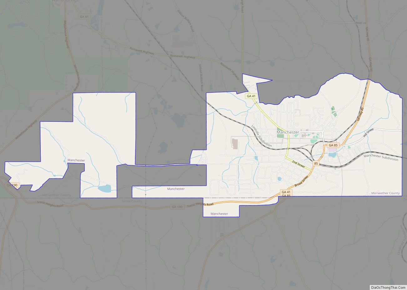
| Largest city: | Manchester |
| Total Area: | 505 sq mi (1,310 km²) |
| Land Area: | 501 sq mi (1,300 km²) |
| Total Population: | 20,613 |
| Time zone: | UTC−5 (Eastern) |
| Summer Time Zone (DST): | UTC−4 (EDT) |
| Website: | meriwethercountyga.us |
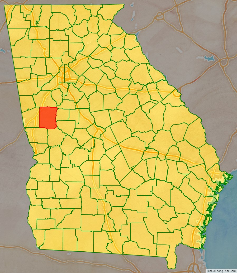
Meriwether County location map. Where is Meriwether County?
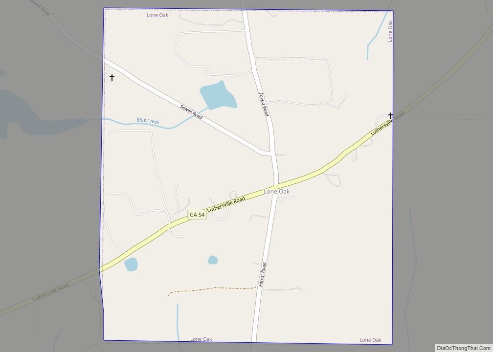
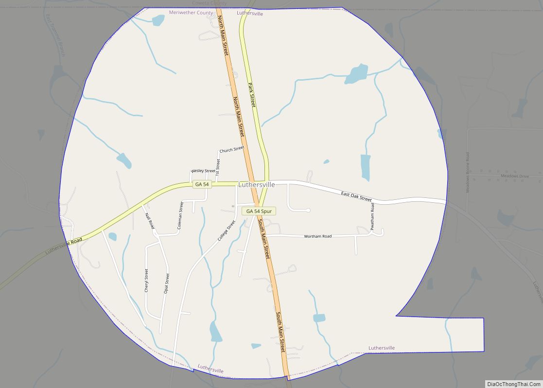
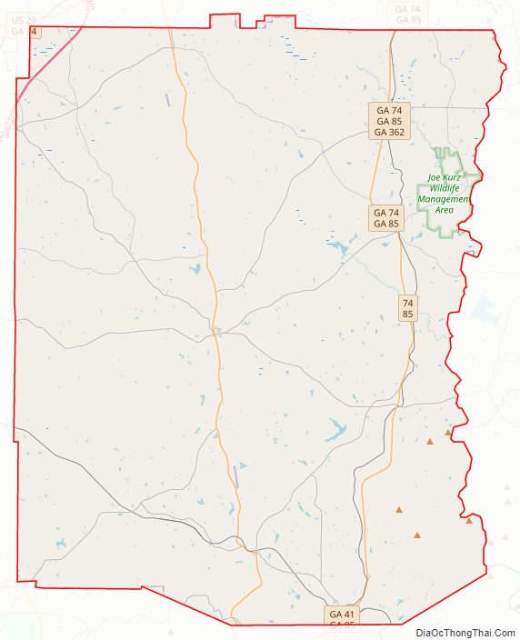
Meriwether County Road Map
Geography
According to the U.S. Census Bureau, the county has a total area of 505 square miles (1,310 km), of which 501 square miles (1,300 km) is land and 4.2 square miles (11 km) (0.8%) is water.
The county is located in the Piedmont region of the state. Portions of the Pine Mountain Range are found in the southern parts of the county near the cities of Warm Springs and Manchester.
The eastern two-thirds of Meriwether County, going east from just west of U.S. Route 27 Alternate, is located in the Upper Flint River sub-basin of the ACF River Basin (Apalachicola-Chattahoochee-Flint River Basin). The western third of the county is located in the Middle Chattahoochee River-Lake Harding sub-basin of the same ACF River Basin.
Major highways
- Interstate 85
U.S. Route 27 Alternate- State Route 18
- State Route 41
- State Route 54
- State Route 54 Spur
- State Route 74
- State Route 85
- State Route 85 Alternate
- State Route 85 Spur
- State Route 100
- State Route 109
- State Route 109 Spur
- State Route 173
- State Route 190
- State Route 194
- State Route 362
- State Route 403 (unsigned designation for I-85)
Adjacent counties
- Coweta County (north)
- Spalding County (northeast)
- Pike County (east)
- Upson County (southeast)
- Talbot County (south)
- Harris County (southwest)
- Troup County (west)
Meriwether County Topographic Map
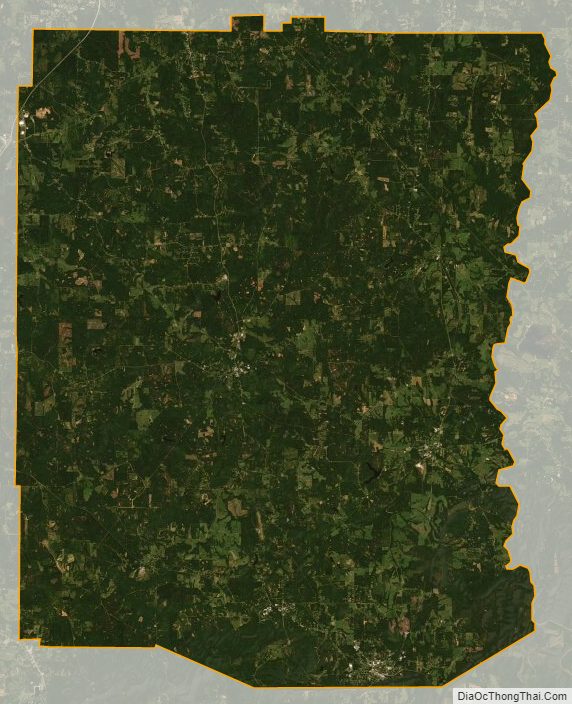
Meriwether County Satellite Map
Meriwether County Outline Map