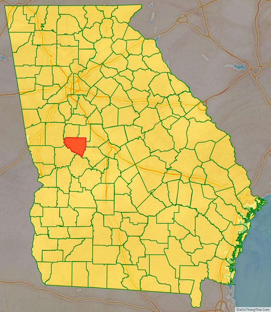
Upson County is a county located in the west central Piedmont portion of the U.S. state of Georgia. As of the 2020 census, the population was 27,700. The county seat is Thomaston. The county was created on December 15, 1824.
Upson County comprises the Thomaston, GA Micropolitan Statistical Area, which is also included in the Atlanta-Athens-Clarke County-Sandy Springs, GA Combined Statistical Area.
| Name: | Upson County |
|---|---|
| FIPS code: | 13-293 |
| State: | Georgia |
| Founded: | 1824 |
| Named for: | Stephen Upson |
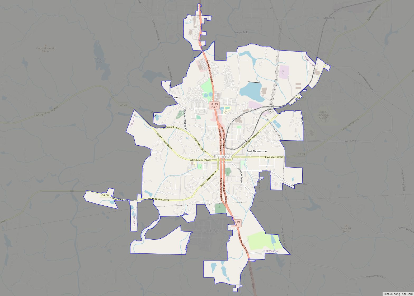
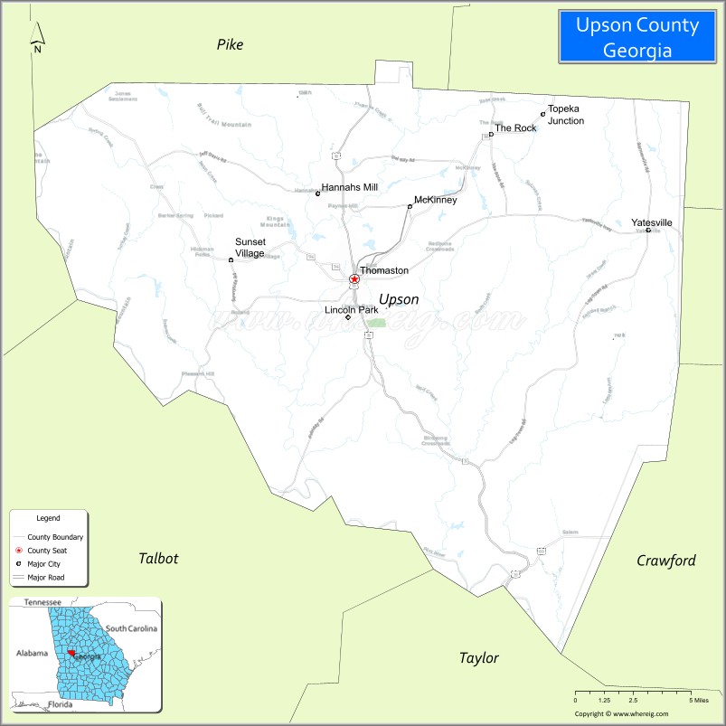
| Seat: | Thomaston |
| Largest city: | Thomaston |
| Total Area: | 328 sq mi (850 km²) |
| Land Area: | 323 sq mi (840 km²) |
| Total Population: | 27,700 |
| Population Density: | 86/sq mi (33/km²) |
| Time zone: | UTC−5 (Eastern) |
| Summer Time Zone (DST): | UTC−4 (EDT) |
| Website: | www.upsoncountyga.org |
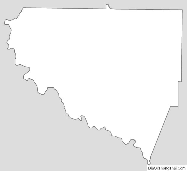
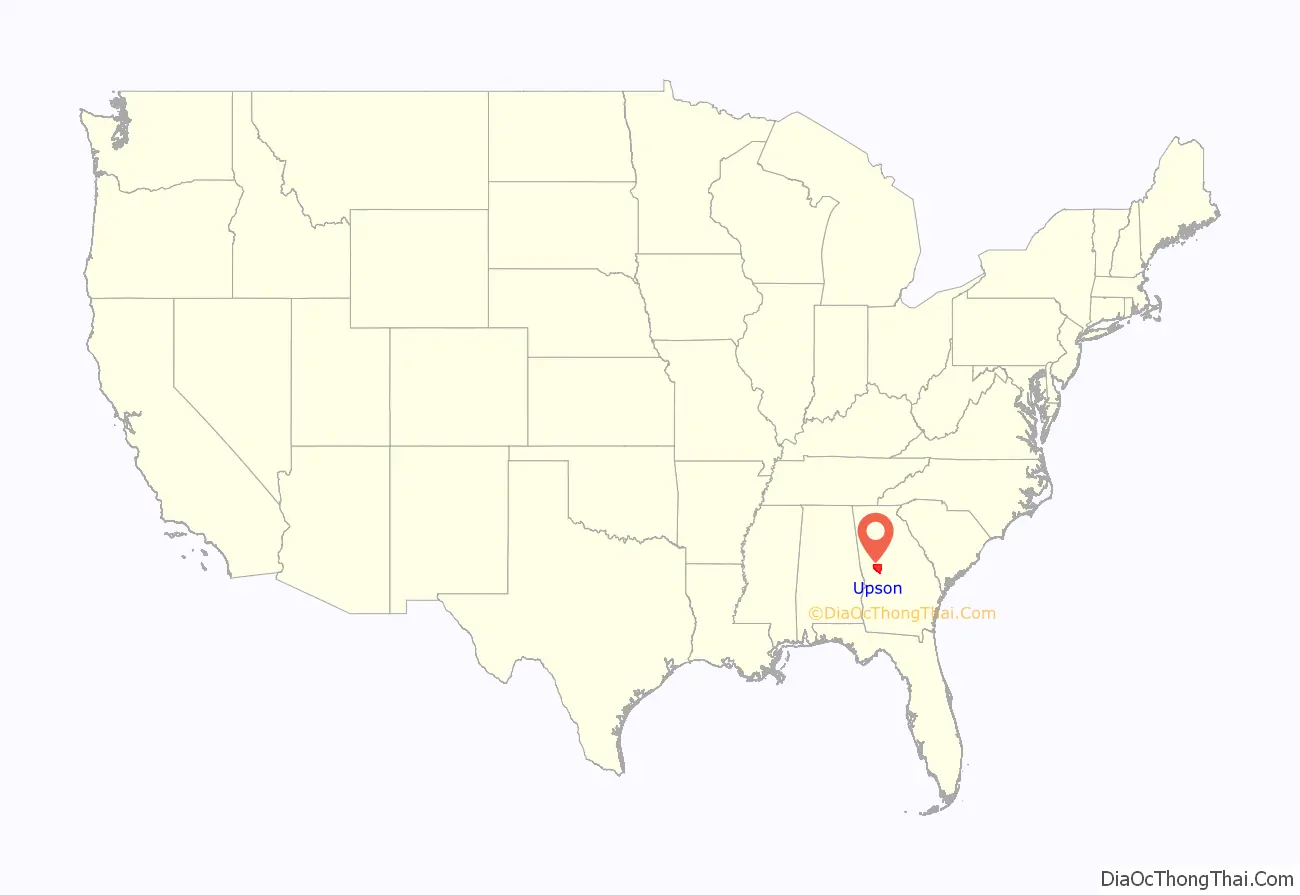
Upson County location map. Where is Upson County?
History
Upson County was formed in 1824 and named after Stephen Upson, a state legislator.
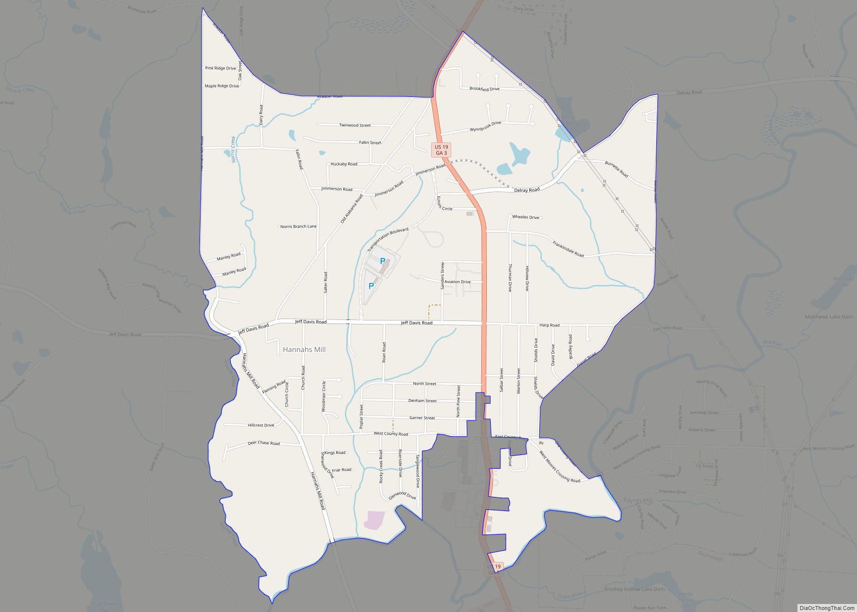
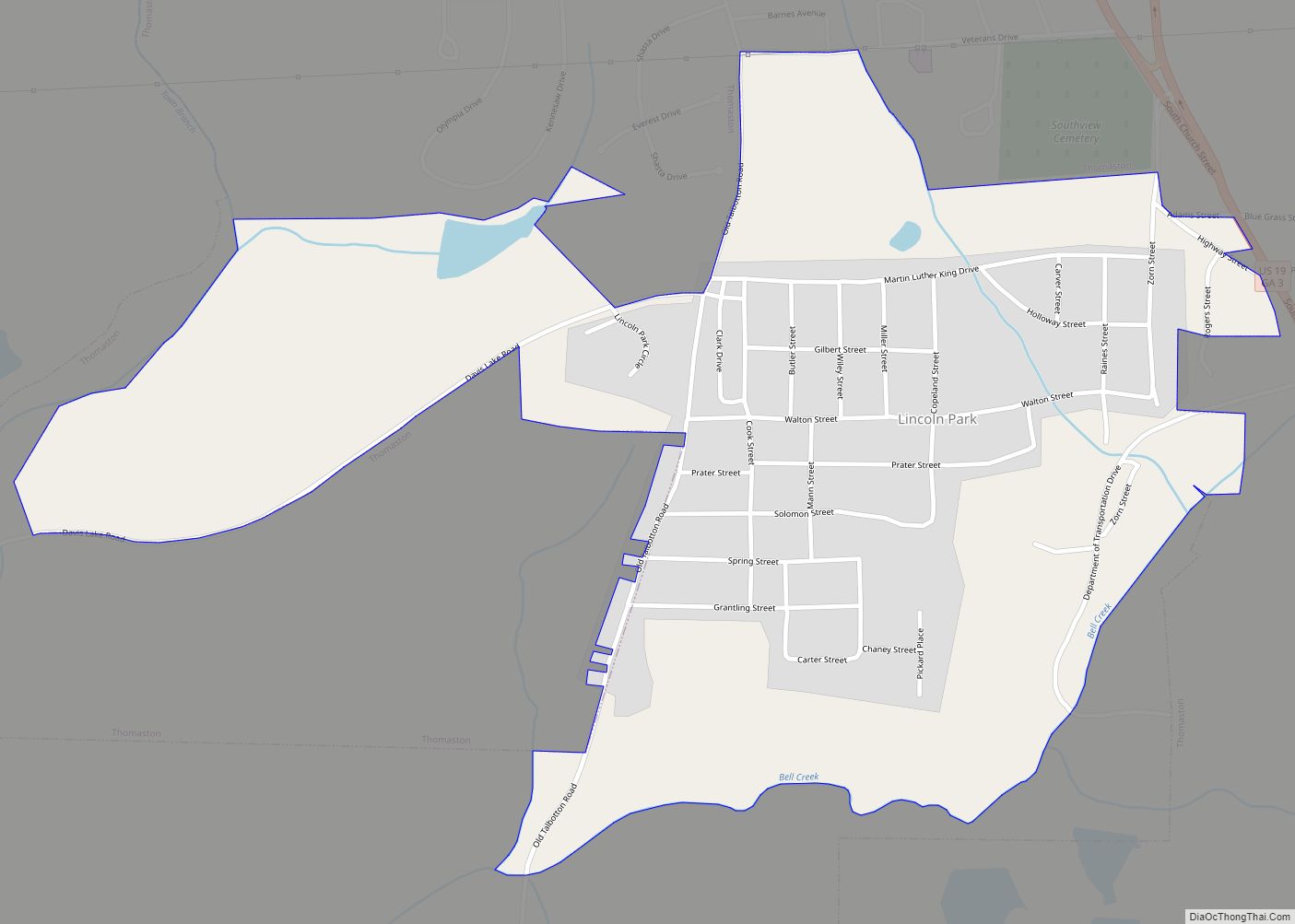
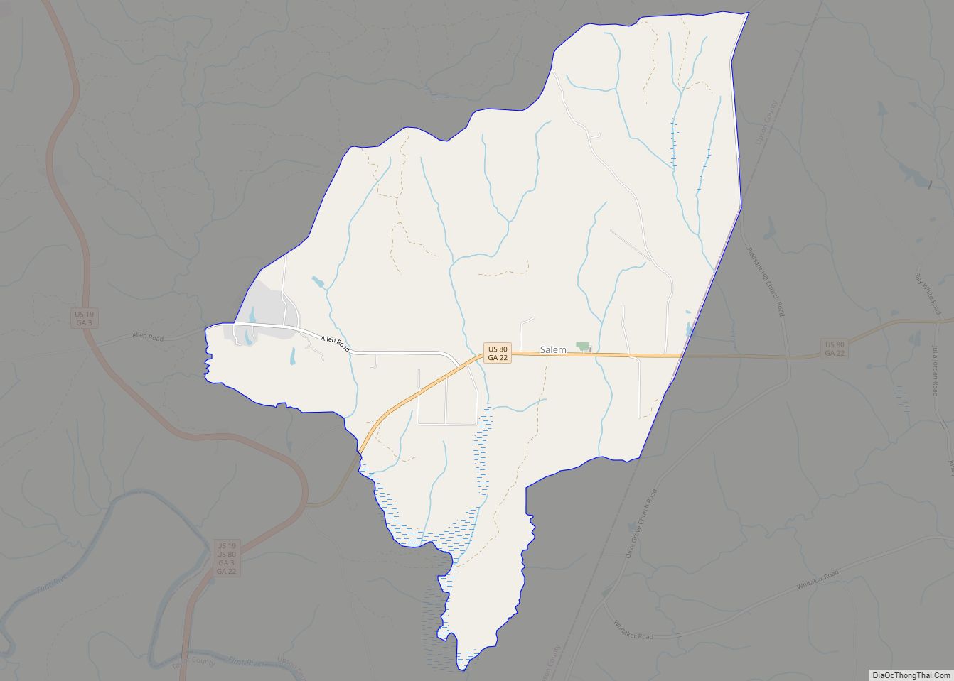
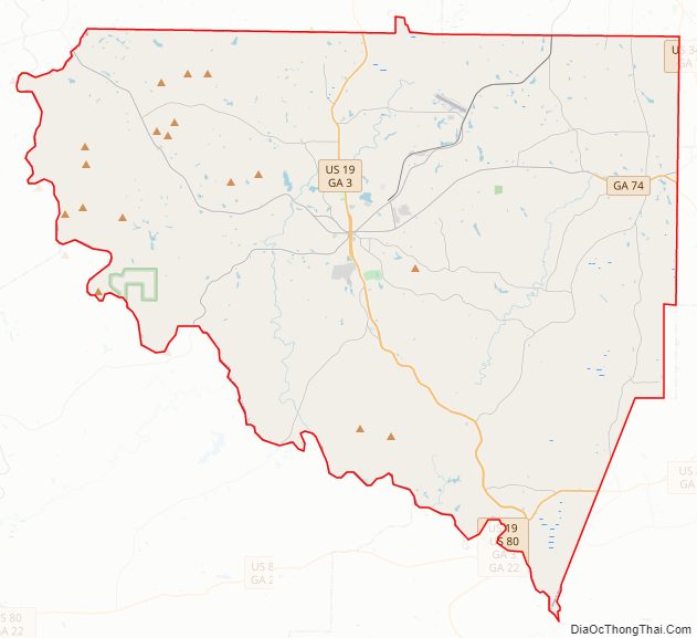
Upson County Road Map
Geography
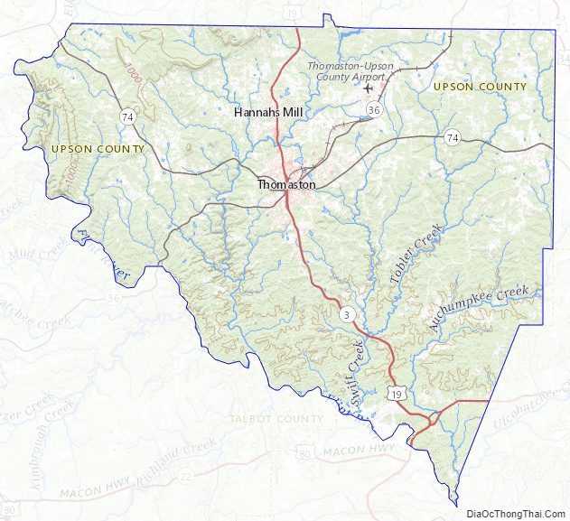
According to the U.S. Census Bureau, the county has a total area of 328 square miles (850 km), of which 323 square miles (840 km) is land and 4.1 square miles (11 km) (1.3%) is water. Upson County boasts the lowest average summer humidity in the state.
The vast majority of Upson County is located in the Upper Flint River sub-basin of the ACF River Basin (Apalachicola-Chattahoochee-Flint River Basin), with just a tiny northeastern corner of the county, north of Yatesville, located in the Upper Ocmulgee River sub-basin of the Altamaha River basin.
Major highways
- U.S. Route 19
- U.S. Route 80
- State Route 3
- State Route 22
- State Route 36
- State Route 74
- State Route 74 Alternate
Adjacent counties
- Lamar County – north
- Pike County – north
- Monroe County – northeast
- Crawford County – southeast
- Taylor County – south
- Talbot County – southwest
- Meriwether County – northwest
Upson County Topographic Map
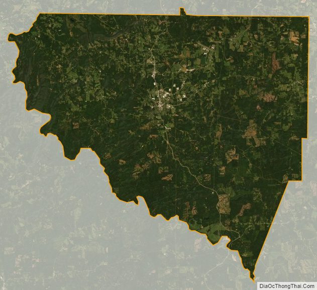
Upson County Satellite Map
Upson County Outline Map